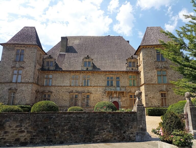
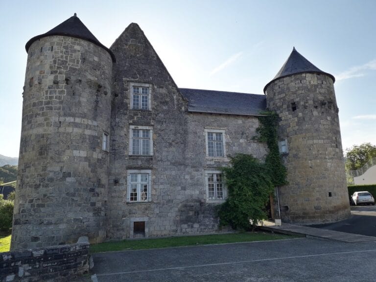
Vieux Château of Mauléon-Licharre: A Historic Fortress in France


Visitor Information
Google Rating: 4.1
Popularity: Low
Google Maps: View on Google Maps
Official Website: www.soule-paysbasque.com
Country: France
Civilization: Medieval European
Remains: Military

History
The Vieux Château in Mauléon-Licharre, France, was originally constructed in the 11th century by the local powers forming the viscounty of Soule. Its initial form was a motte-and-bailey fortress, featuring a wooden tower placed on a raised earthwork, or motte, surrounded by a courtyard enclosed by a wooden fence and moat. This setup provided basic defense and control over the surrounding lands during a period of feudal consolidation.
In the mid-13th century, the castle came under English influence when the English king, holding the title of Viscount of Soule, appointed a captain-châtelain to manage military affairs at the site. This period saw substantial efforts to reinforce the castle’s defenses. Between 1272 and 1287, King Edward I ordered repairs and improvements, followed by further fortifications in 1319 and again in 1374, reflecting ongoing conflict and strategic importance.
Throughout the Hundred Years’ War and related French-English struggles, the castle changed possession multiple times. A notable event occurred in 1449 when Gaston IV, Count of Foix, captured it as part of the French reconquest of the Guyenne region. Following his death in 1472, control of the castle and the viscounty of Soule transitioned permanently to France. During the 16th century, the castle endured brief military actions including sieges in 1523 by the Prince of Orange and the Lord of Luxe, and later suffered damage during the religious wars that engulfed France.
In 1642, King Louis XIII ordered the castle’s demolition, but parts were rebuilt in 1648. Despite these efforts, the fortress gradually fell into disuse and was eventually abandoned. During the French Revolution, its role shifted to that of a prison for some years. The castle maintained a military garrison until 1870, even though restoration proposals were rejected by the Minister of War in 1831. Ownership passed to the town in the same year it ceased military use, and in 1925 it gained formal recognition as a historic monument and archaeological site.
Remains
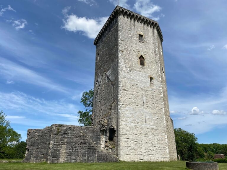
Perched atop a hill overlooking Mauléon-Licharre, the Vieux Château presents a pentagonal layout oriented from northeast to southwest. It is positioned opposite the Matalon hill, which rises to 439 meters, securing command of the surrounding terrain. The castle’s fortifications rest on the elevated motte, replacing the original wooden structures with durable stone walls.
The defensive walls lack crenellations, the tooth-like battlements common in medieval castles, but are strengthened by three corner towers. These walls are pierced with narrow openings known as artillery loopholes, designed specifically for the placement and firing of firearms, particularly defending the side facing the town.
Entry to the castle is through the northeast approach, crossing a stone bridge composed of three arches. This bridge once featured a small drawbridge, now removed along with its lifting chains. In place of the drawbridge, simple wooden planks have been laid to span the gap.
The main internal buildings cluster near the northeast side, forming a compact arrangement of small rooms intended for a modest garrison rather than a large noble household. Within the courtyard lies a deep well, reaching 29 meters down to the water table, essential for sustaining occupants during sieges. A narrow entrance to the dungeon is located at the base of the buildings, indicating the presence of a prison cell or secure holding area within the castle.
To the southwest, the ruins of the medieval keep, or central stronghold, remain almost completely leveled. This keep was destroyed in the 18th century, leaving little above ground aside from low foundations and traces visible in the ground. Around the castle, two flat areas likely correspond to former medieval habitations, one at each end of the site. The southwestern flat zone is now overgrown, its exact former structures not visible but understood through archaeological evidence.
Nearby sites