Lescudjack Hill Fort: An Iron Age Settlement in Penzance, UK


Visitor Information
Google Rating: 3.8
Popularity: Very Low
Google Maps: View on Google Maps
Official Website: historicengland.org.uk
Country: United Kingdom
Civilization: Unclassified
Remains: Military

History
Lescudjack Hill Fort is an Iron Age settlement situated in the town of Penzance, United Kingdom. It was constructed by the local communities during this prehistoric period, reflecting the widespread practice of building fortified hilltop enclosures in the region.
During the Iron Age, the site likely functioned as a fortified enclosure, offering protection and possibly serving as a local center of habitation or defense. Over time, the site became known locally as a “castle,” a term that influenced the naming of nearby streets such as Castle Road, as well as several others bearing the name Lescudjack. This reflects the enduring recognition of the hill fort as a notable landmark within the community.
Traditions also mention a lead-copper mine located just outside the fort’s earthworks, indicating attempts at resource extraction close to the site, though no visible evidence of this mining activity remains today. The significance of this nearby mine in relation to the fort, whether economic or strategic, is not documented beyond these reports.
In the early 21st century, specifically in 2004, ownership of the land was transferred to local authorities after community efforts, including active involvement from the nearby Lescudjack Infants School, advocated for its protection. Since then, the site has been subject to archaeological surveying by Cornwall County Council’s Historic Environment Service, underscoring its cultural value. The hill fort was formally opened to the public during the Montol Festival in December 2007, marking a renewed phase of communal recognition and stewardship.
The name “Lescudjack” is rooted in Cornish linguistic heritage, possibly meaning “shielded enclosure” or alternatively “wooded valley.” Some interpretations link the name to words describing burning or beacon sites, although the exact meaning remains uncertain. Nonetheless, the toponym preserves a linguistic connection to the ancient landscape and its historic use.
Remains
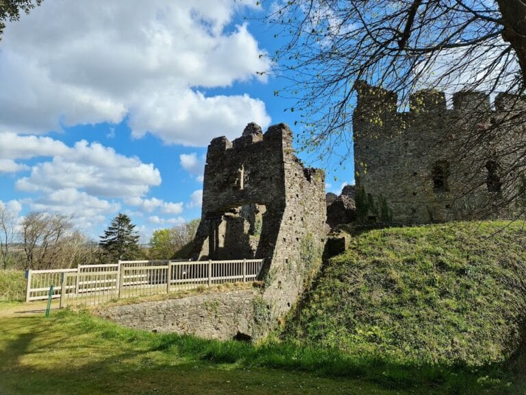
Lescudjack Hill Fort is defined by a single earthen rampart that encloses roughly three acres (around 12,000 square meters) near the summit of a steep hill. This embankment forms a continuous boundary indicative of Iron Age defensive enclosures, designed to mark and protect the space within. The construction method, typical of the period, involved forming an earthwork without recorded use of stone or timber defenses at this site.
Within the enclosure today, the land has undergone considerable alteration, including the establishment of allotments and an open area where dense undergrowth was recently cleared. These changes have affected the immediate setting of the fort, though the main rampart structure remains identifiable.
No detailed archaeological excavation has occurred, so there are no recorded internal features such as gateways, buildings, or workshops. Additionally, no inscriptions or artifacts like pottery or metalwork have been documented, leaving the internal layout and specific use of space within the fort largely uncharted.
Despite alterations and limited excavation, the visible earthwork continues to serve as a tangible connection to the Iron Age past. Its position overlooking the surrounding area underscores its strategic placement, while nearby modern roads and establishments carrying the Lescudjack name reflect the fort’s enduring influence on the local landscape and identity.
Nearby sites