Castell de Lillet: A Medieval Fortress in La Pobla de Lillet, Spain


Visitor Information
Google Rating: 4.4
Popularity: Very Low
Official Website: invarquit.cultura.gencat.cat
Country: Spain
Civilization: Medieval European, Modern
Site type: Military
Remains: Castle
History
Castell de Lillet is situated in the municipality of La Pobla de Lillet in Spain. This fortress, dating back to the early medieval period, showcases the region’s historical role in controlling important routes and settlements.
The earliest record connected to the site is linked to the church of Santa Maria, whose consecration is documented as early as the year 833. During the 10th century, the area was under the ownership of Emma, abbess of Sant Joan de les Abadesses and daughter of the noble Wifredo el Velloso. By the early 900s, documents place Lillet within the County of Cerdanya, indicating its inclusion in the shifting territorial organization of medieval Catalonia.
Emerging in the 12th century, the feudal family known as Mataplana bore the Lillet name and became closely associated with the castle. References from the mid-1100s mention individuals such as Guisla and Petrus linked directly to the castle, underscoring its status as a noble residence and administrative center. This family undertook efforts both to defend the area and to increase its population. In 1297, members of the family issued a charter granting freedoms to local inhabitants, encouraging them to settle away from the original castle’s site.
By the 14th century, the focus shifted to a new stronghold known as Castell de la Pobla or “Lillet nou” (New Lillet), constructed nearby. This development led to the original fortress being called “Lillet vell” (Old Lillet) as it fell into disuse. In 1374, the barony including the castle was transferred to Pere Galceran de Pinós. By 1430, records depict the castle largely ruined. Attempts by local residents in 1439 to seek permission to rebuild the fortress were unsuccessful, signaling the end of its functional importance. From this point onward, written references to Castell de Lillet become scarce, reflecting its gradual decline. In the 19th century, a large iron cross was erected atop the highest point of the rocky outcrop where the castle stood, marking a later addition to the site’s changing landscape.
Remains
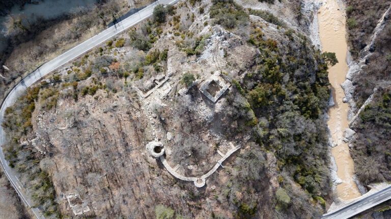
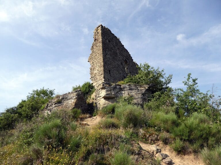
The remains of Castell de Lillet rest on a prominent rocky hill above the Junyent stream, near the Arija river’s left bank. The structure’s layout once oversaw a vital crossroads that connected the Lillet valley with the route through Creueta pass, a path linking Berguedà to Cerdanya. This strategic position highlights the castle’s historical role in monitoring and controlling movement through the region.
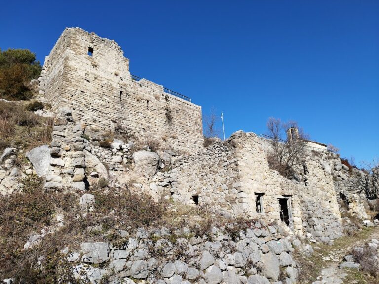
Among the surviving elements is a stretch of wall measuring about six meters in length and rising up to three meters high. It is built from small, finely worked stones arranged in a fairly consistent pattern, reflecting skilled medieval masonry. Portions of a buttress remain, suggesting structural reinforcement. Above ground level, a line of stones approximately two meters high indicates that the castle once had at least a second floor, revealing its vertical design.
One notable architectural detail is a pointed window preserved on the site. This window is roughly one meter tall, 80 centimeters wide, and nearly 90 centimeters deep. Its location and dimensions likely allowed those inside to observe and control travelers moving along the nearby old path through Creueta pass, emphasizing the castle’s defensive and surveillance functions.
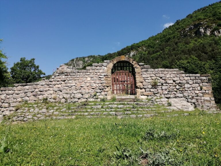
Today, the site exists in a partial state of ruin, with the fortifications fragmented but still visible. The large iron cross added in the 19th century marks the highest point of the outcrop, providing a clear landmark atop the ancient foundations. The remaining structures offer tangible evidence of the castle’s medieval origins and its strategic significance in controlling a key passageway in the region.
Nearby sites