Castell de Guardiola: A Medieval Frontier Castle in Spain

Site at a Glance
- Rating
- 3.8
- Popularity
- Very Low
- Country
- Spain
- Primary era
- Medieval
- External website
- Open
- Eras represented
- Medieval
- Civilizations
- Crown of Aragon
- Site type
- Military
- Remains
- Castle
On this page8 sections
History
Castell de Guardiola is a medieval castle in Spain, above Guardiola de Berguedà, built and developed within the political frontier between the counties of Cerdanya and Berga. Its position at the entrance to the upper Llobregat basin gave it control over routes leading toward the valleys of Saldes, Eina, Bastareny, Bagà, and Lillet. The summit tower belongs in form to the Romanesque period, a medieval architectural tradition of massive masonry and rounded arches that flourished in Catalonia between the eleventh and thirteenth centuries.
Early frontier stronghold
The castle stood in a politically sensitive landscape. The Brocà valley to the north formed part of the County of Cerdanya, while the County of Berga began to the south in territory that required repopulation. A watchtower may have occupied the site during the first half of the tenth century. In 939, a place called Guardiola was mentioned in a record, possibly referring to this earlier stronghold.
After Count Sunifred of Cerdanya-Besalú granted the allod of Llenes in 962, the tower may have come under the authority of Sant Llorenç prop Bagà, a medieval monastery in the Berguedà region. In 1281, Agnès de Guardiola gave up the castle jurisdiction she held for the monastery and returned rights inherited from her parents, Pere and Berenguera. In exchange, she received maintenance for the rest of her life. The transaction took place as the rural crisis affecting Catalonia began to emerge.
Royal and noble rivalry
During the fourteenth century, control of Castell de Guardiola became a major political issue. The Catalan-Aragonese monarchy, the composite realm ruled by the kings of Aragon, sought rights held by Sant Llorenç prop Bagà. Cerdanya depended on the kings of Majorca, and the monarchy also wanted control of a strategic passage in an area dominated by powerful lords.
An agreement in 1327 gave the king an undivided half of the castle and its dependencies as free property. This was an allodial holding, meaning land owned outside ordinary feudal tenure, although the agreement required the share to return to the monastery before it could be transferred elsewhere. In return, the monastery received an undivided half of the king’s share in the parishes of Santa Maria and Sant Julià de Vallcebre and Sant Mateu de Fumanya. Serious violence later broke out between the monastery and the Pinós, a powerful noble family with extensive lordship in Berguedà, who opposed the expansion of royal authority.
The castle later became a battlefield in the struggle between James III of Majorca and Peter IV of Aragon. An army from Berguedà expelled James III’s supporters, and Peter IV formally incorporated Castell de Guardiola into the Crown in 1346. In 1364, the castle and the territory of Llenes were sold to the University of Berga, the town’s medieval corporate municipal institution. The following year, the abbot of Sant Llorenç prop Bagà sold the monastery’s half to the Baron of Pinós, beginning another period of jurisdictional disputes.
Later conflicts and destruction
Jurisdictional tensions continued for centuries and intensified during later crises, including the plague of 1589 and the Reapers’ War, a seventeenth-century Catalan conflict sparked by opposition to royal military and fiscal policies. Berga remained loyal to Philip IV of Castile during that war, and Castell de Guardiola consequently served that monarch.
During the war against John II of Aragon, the king granted the castle to Galceran de Pinós-Fenollet i de Mur in 1469. The grant compensated him for possessions in Roussillon that had been confiscated by the French king. A successor later seized the castles of Berga and Guardiola but returned them in 1482.
The date and circumstances of the castle’s destruction remain uncertain. One tradition attributes it to an order from Cardinal Richelieu, the chief minister of Louis XIII of France, during the French withdrawal in 1642. Another places the destruction in the sixteenth century and attributes it to orders from the viceroy, the Marquess of Taifa. Reconstruction campaigns have since affected the site, while the surviving remains remain identifiable in their ruined condition. Castell de Guardiola has been classified as a historical monument and a Cultural Asset of National Interest since 1988.
Remains
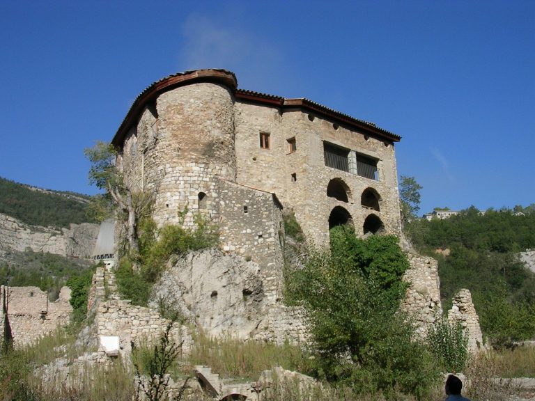
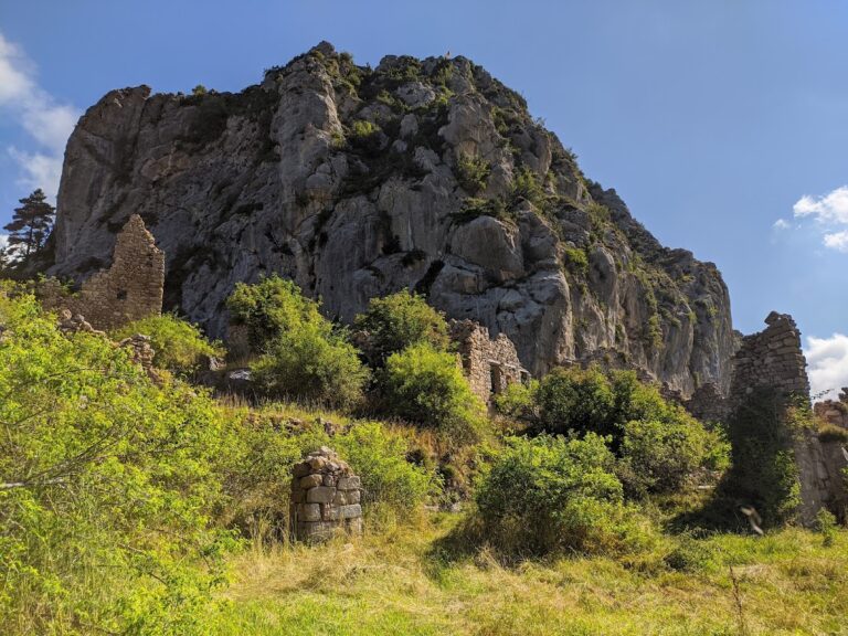
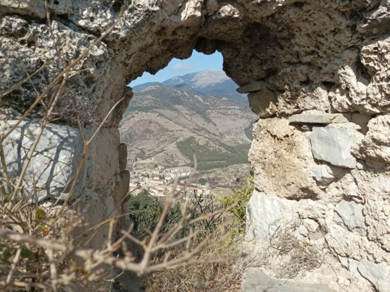
The castle occupies the summit and slopes of a small hill at the Collet d’Eina, on the north side of the confluence of the Saldes or Eina stream and the Llobregat River. At about 751 metres above sea level, it stands above Guardiola de Berguedà. Its surviving fabric combines a summit fortification, lower defensive works, and foundations of additional structures. Vegetation covers much of the complex, making its full perimeter difficult to trace.
Summit tower and defenses
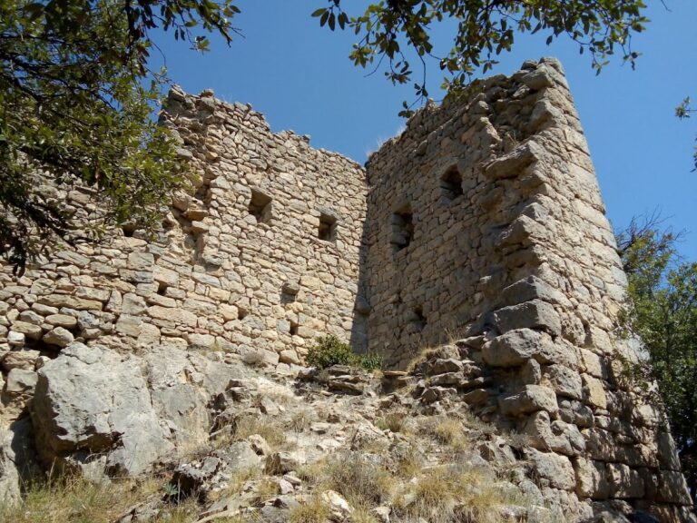
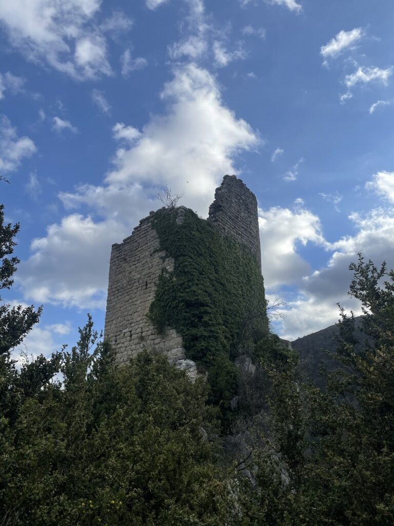
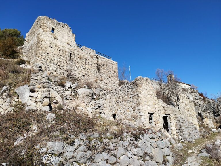
Only part of the eastern wall of the Guardiola tower survives. Built from regular, medium-sized ashlar blocks laid in courses, the wall is about 6 metres high and 1.20 metres thick. The principal summit building has a trapezoidal plan, with a length of 6 metres and widths of 4.20 metres and 3.30 metres. Its roughly dressed, lightly worked ashlar and compact form belong to the Romanesque period.
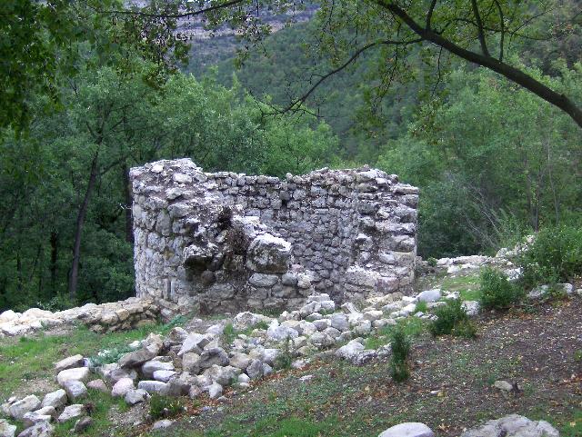
The summit tower was erected in the late twelfth or early thirteenth century, reusing some ashlar from an earlier tower probably dating from the late tenth or early eleventh century. The complex also preserves foundations of two circular towers and two levels of fortification walls. A later wall near the summit was defended by two circular towers, of which the southern tower is better preserved.
Eastern enclosure
The eastern slope is the least steep side of the hill and therefore required additional fortification. At mid-slope are the remains of an earlier fortified enclosure that probably contained several houses. These may have appeared in the early twelfth century. The enclosure was recorded in 1279 and 1327 as containing nine households, indicating that the castle complex included a settled area as well as its defensive structures.
Pont Vell and the river route
A high-medieval route followed the Llobregat River and connected lower Berguedà with the valleys of Lillet and Bagà and with Cerdanya. The route was mentioned in 1040 in the consecration record of the church of Sant Climent de Vallcebre. Pont Vell de Guardiola was built almost directly below the castle, crossing the Llobregat near its confluence with the Saldes stream.
The bridge is 31 metres long and 3.25 metres wide. Its two semicircular arches include a central span of about 9 metres and a secondary span of about 5.5 metres. Two smaller arches reduce the amount of solid walling and help limit the pressure of major floods. The structure uses roughly dressed, lightly worked ashlar, while its arch voussoirs are made from thin stone slabs. The bridge probably dates from the late eleventh or early twelfth century; its upper section and parapets were rebuilt in the thirteenth century.