Rocca di Verrua Savoia: A Medieval Fortress in Italy


Visitor Information
Google Rating: 4.4
Popularity: Low
Google Maps: View on Google Maps
Official Website: www.fortezzadiverrua.it
Country: Italy
Civilization: Unclassified
Remains: Military

History
The Rocca di Verrua Savoia is a fortress located in the municipality of Verrua Savoia, Italy. It was built by medieval European powers between the 10th and 11th centuries and first appears in historical records in the year 999 when Emperor Otto III confirmed its ownership to the Bishop of Vercelli.
Initially constructed to serve as a military stronghold, the fortress occupied a strategic position on the border between the Duchy of Savoy and the March of Montferrat. Its location overlooking the Po River allowed control over access to the river and the adjacent plains, making it a focal point of contest among several influential regional entities including the Bishops of Vercelli, Montferrat rulers, the Visconti family of Milan, local noble families, and eventually the House of Savoy.
In 1167, the fortress faced destruction at the hands of Emperor Frederick Barbarossa after its defenders refused him passage. Nearly 150 years later, significant reconstruction efforts were undertaken by the Bishop of Casale Monferrato in 1315, restoring the Rocca’s defensive capabilities. Throughout the 14th century, it endured multiple sieges by the March of Montferrat yet remained under Savoy control, strengthening its role as a key defense point on the route to Turin.
The most notable military event took place during the War of the Spanish Succession when French forces laid siege to the fortress from 1704 until its fall in April 1705. This prolonged siege resulted in about 13,000 casualties but played a crucial role in delaying the French advance, enabling Victor Amadeus II of Savoy to reorganize his forces and achieve victory the following year at the Battle of Turin.
Following the Napoleonic period, the fortress was repurposed as a hospital for wounded soldiers. Over time, it gradually fell into neglect and partial ruin. In the 20th century, the site was sold, and industrial extraction of nearby marl created a notable geological site adjacent to the ruins. In 2007, ownership was transferred to a cultural foundation that undertook restoration efforts, completing partial rehabilitation by 2011 for educational purposes. After its final siege, the fortifications were deliberately demolished in 1707, marking the end of the Rocca’s military use.
Remains
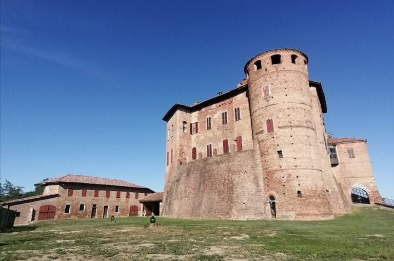
The ruins of Rocca di Verrua Savoia reveal the layout of a medieval fortress perched on a hill beside the Po River, clearly demonstrating its role as a stronghold between Turin and Vercelli provinces. The fortress was once enclosed by defensive walls featuring four bastions named Bastione della Vigna, Bastione dell’Alle, Bastione di Camus, and Bastione di Santa Maria, each serving as fortified projections that housed artillery and enhanced the walls’ defensive capacity.
At the heart of the complex stood a donjon, or keep, which served as the central stronghold in medieval fortification design. Alongside the donjon were soldiers’ barracks built to accommodate the garrison, and a well that provided a critical water source during sieges. A bomb-proof magazine located within the fortress was used to safely store weapons and ammunition, reflecting the military technology and safety concerns of the time.
Below the fortress, the village of Verrua developed, containing several important structures including the Officers’ Quarters, the central public space called Piazza Reale, the Governor’s House, and barracks associated with the Church and military support services. The Church of Saint John the Baptist, dedicated to the fortress’s patron saint, was part of this village, underscoring the religious ties of the community that lived there.
Access to the fortress was controlled solely through the Porta del Soccorso, a gate that opened onto the main road linking the stronghold to the surrounding plains. Nearby, the Ponte del Soccorso (Bridge of Soccorso) provided passage over natural obstacles and remains one of the surviving features connected to the fortress’s defensive network.
Today, only the donjon and some associated structures remain standing. The rest of the walls and many defensive features were demolished following the fortress’s capture in the early 18th century. The current condition of the site preserves these elements as testimony to its former importance in regional military and political struggles.
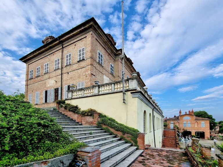
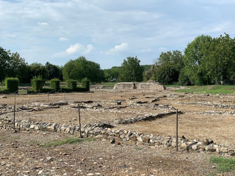
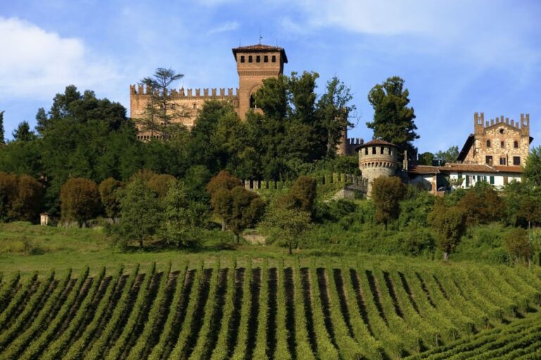
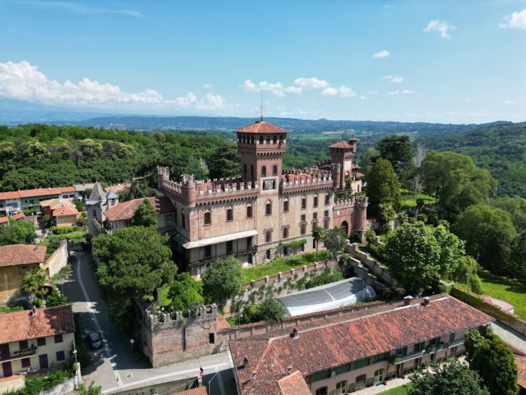
Nearby sites