Château de Noyers-sur-Serein: A Medieval Fortress in Burgundy, France


Visitor Information
Google Rating: 4.2
Popularity: Low
Google Maps: View on Google Maps
Country: France
Civilization: Unclassified
Remains: Military
History
The Château de Noyers-sur-Serein is situated in the town of Noyers, within modern France. It was constructed by the medieval lords of Noyers before the 11th century, laying the foundations for a fortress that would witness centuries of military and political activity in Burgundy.
Between 1196 and 1206, the castle was significantly expanded and fortified by Hugues de Noyers, then bishop of Auxerre. His work transformed the site into a large fortification designed in the style associated with King Philip Augustus, including the addition of a grand residence for the lord, multiple defensive walls surrounding the site, underground tunnels, a chapel, and deep protective ditches. This period marked the castle’s rise as a major stronghold controlling a strategic rocky outcrop above a bend in the Serein river, providing natural defense on three sides and a commanding military position on the fourth.
The castle played a prominent role during the early 13th century, notably resisting a siege in 1216 by Blanche of Navarre during the regional struggle over the Champagne succession. Later, in the late 13th century, the lordship passed to the Dukes of Burgundy, integrating the castle into the border defenses separating the Duchy of Burgundy from the royal lands of Champagne. In this era, it became associated with Miles X de Noyers, an important marshal of France and royal counselor, who participated in key military campaigns in the early 1300s.
During the Hundred Years’ War, the fortress avoided direct siege by Edward III in 1360 but endured attacks by mercenary groups in the aftermath. In 1366, the castle hosted Duke Philippe of Burgundy on his journey toward Avignon, highlighting its continued regional significance.
In the 15th century, the castle came under the ownership of Duchess Marguerite of Bavaria from 1419. She ordered major repairs and updated the defenses to accommodate artillery, reflecting the evolving nature of warfare. The castle functioned as a crucial Burgundian bastion during the lengthy Armagnac-Burgundian conflicts and successfully resisted a French siege in 1463. Ownership shifted again after Burgundy’s fall in 1477, passing to Charles d’Amboise and later the House of Austria in 1493. The 16th century saw several transfers of control before Louis de Bourbon, Prince of Condé, acquired the property, becoming its first count.
Throughout the French Wars of Religion, the castle became a Protestant refuge under the Prince of Condé. It endured multiple sieges and periods of occupation by Catholic forces, royal armies, and radical league factions. These repeated assaults caused substantial damage, especially during the siege of 1568 and ongoing conflicts that continued until the late 16th century.
In 1599, King Henri IV ordered the intentional destruction of the castle to prevent it from serving as a base for further rebellions. This act began its decline into ruin. Despite this, the county of Noyers remained an administrative and financial asset for its noble owners, with a captain still governing the site in the early 1600s. By the 18th century, much of the castle’s masonry was dismantled and repurposed in local construction.
Interest in the castle revived in the 19th century through the historical research of Ernest Petit, who produced detailed studies and plans of the fortress. From 1998 onwards, local conservation groups have worked on archaeological excavation and restoration, aiming to preserve what remains and to understand the castle’s complex past.
Remains
The Château de Noyers-sur-Serein was constructed on a triangular rocky plateau, with two sides naturally defended by the Serein river and the southern tip connecting to the town via a fortified gatehouse called the Porte de Venoise. This gatehouse featured a drawbridge and controlled access to the fortress, illustrating medieval methods of combining natural geography with man-made defenses.
The northern approach, less steep than the riverbanks, was secured by a substantial outer wall known as the Grands Vergiers. This defensive line included ramparts and five towers, complemented by a wide, rock-cut ditch designed to hinder attackers. These features formed the castle’s first line of defense and reflect the layered nature of the fortifications protecting the site.
Inside the outer defenses lay the lower courtyard, which housed living quarters for the garrison and a chapel for religious observance. From there, access was restricted by a series of fortified enclosures, called lices—an area between walls where defenders could control movement before reaching the inner sections. The inner castle was separated by a double ditch, emphasizing the emphasis on defense in depth.
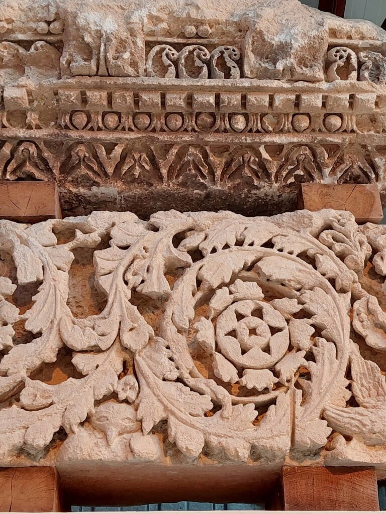
The main courtyard within this inner enclosure contained the castle’s oldest structure, a large square donjon dating from the 11th century. This central tower served as a stronghold and refuge in times of attack. Nearby stood a cistern for collecting water, an additional chapel, and the lordly residence, all constructed primarily from robust masonry typical of medieval military architecture.
Defensive elements included over twenty towers distributed across three concentric rings of walls, together forming a triple enceinte. Drawbridges and fortified gates secured all points of access, with advanced defensive works requiring attackers to cross multiple obstacles before entering the heart of the castle.
In the 15th century, the castle adapted to gunpowder artillery by installing three “veuglaires,” which were specialized artillery platforms or emplacements, and four cannons—one notably large in caliber. These additions reflect the castle’s response to changes in siege technology and battlefield tactics.
By the late 18th century, several of the walls and towers remained standing but later suffered partial demolition. Today, ruins include conserved portions of two towers and a segment of curtain wall, which have been uncovered and stabilized through volunteer-led archaeological efforts since the late 20th century. These restorations have allowed for clearer understanding of the castle’s original layout.
Ongoing archaeological work has involved clearing overgrowth, excavating foundational structures, and reinforcing masonry to prevent further deterioration. Visitor paths and educational signage have been installed at the site to present the fortress’s historical and architectural significance in a clear manner. The detailed plans and orthophotographic studies conducted by Ernest Petit remain integral references in guiding conservation and interpretation of the remains.
Nearby sites