Castell Formós: A Historic Fortress in Balaguer, Spain


Visitor Information
Google Rating: 4.3
Popularity: Very Low
Google Maps: View on Google Maps
Official Website: www.museucn.com
Country: Spain
Civilization: Unclassified
Remains: Military
History
Castell Formós stands in Balaguer, Spain, and traces its origins to an Andalusian fortress built in the late 9th century. Founded in 897 by Lubb ibn Muhammad, the governor of Tudela and Lleida, the fortress was established on the site of an earlier military settlement known as the Llano de Almatà, reflecting its strategic position in the region. This initial stronghold served defensive and administrative purposes within the Muslim-controlled territories of the time.
During the mid-11th century, the fortress underwent significant transformation under Yusuf al-Muzaffar, who converted it into a palace serving as the residence of the local governor. This period marked the height of its architectural and political importance within the taifa of Lleida, encompassing refined decorative elements that paralleled contemporary Islamic palaces such as the Aljafería of Zaragoza.
In 1105, the castle changed hands following the Christian reconquest led by Count Ermengol VII of Urgell. He captured Balaguer and established it as the capital of his county, renaming the fortress Castell Formós. The count’s administration granted a charter in 1174 to encourage the settlement and development of the area under his rule.
Throughout the 13th century, Castell Formós was a focal point in conflicts between the counts of Urgell and the kings of Aragon and Catalonia. Notably, King Peter II of Aragon defeated the county’s forces during the 1280 Siege of Balaguer, asserting royal authority over the contested territory.
In the early 15th century, the castle endured a violent episode during the revolt of James II, the last count of Urgell. In 1413, the fortress was attacked and destroyed by troops loyal to Ferdinand I of Aragon, marking a decisive end to the castle’s role as a noble residence.
Later centuries saw Castell Formós and its fortifications reinforced amid several regional conflicts. These included the Catalan Civil War (1462–1472), the War of the Spanish Succession (1701–1714), and the Peninsular War (1808–1814). The castle also suffered damage in the 19th century during the Carlist Wars. By the 20th century, new uses emerged, including the installation of a water reservoir on the site in 1905. Interest in preserving Castell Formós grew from the 1960s onward. Since 1988, the castle has been recognized officially as a Historic-Artistic Monument, reflecting its layered heritage.
Remains
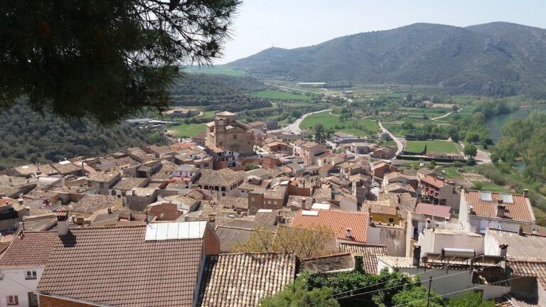
The ruins of Castell Formós occupy a fortress complex arranged in an irregular polygonal shape, adapted to the natural contours of the hill north of Balaguer’s historic center. Spanning roughly 140 meters along its longest east side and about 70 meters across, the castle’s layout reflects defensive needs shaped by the terrain.
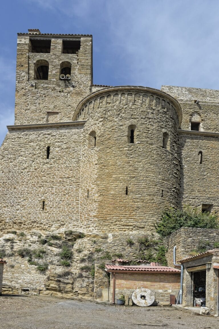
The oldest surviving fortifications date back to the late 9th century and are mainly found along the northern section of the castle. This area includes a northern wall punctuated by five towers and extended curtain walls running between these defensive structures. The foundations of the walls and towers are carved into the bedrock and built entirely from sandstone blocks carefully cut into ashlar, a masonry technique involving squared stone blocks set in even courses.
Among the towers, the two corner towers—numbered 1 and 5—stand best preserved. Both are square in plan, measuring approximately 5.5 meters per side. Tower 1, in particular, remains about 7.3 meters tall and displays 19 surviving courses of the original pre-Caliphate stonework. Other towers have suffered from extensive removal of materials over time.
Towers 2 and 4 are classified as albarrana towers, meaning they are detached or semi-detached defensive towers connected to the main curtain wall by a bridge or wall section. These have rectangular plans of around 5 by 3.6 meters. Tower 3 shows evidence of later modifications, possibly from the feudal period, with a distinctive lowered arch entryway measuring 2.2 meters wide and a broad base extending 8.4 meters across.
To the west side, tower 7 is nearly square and projects outward from the wall. Its preserved height consists of 16 courses of stone, dating to the original pre-Caliphate phase. On the eastern side, towers 8 and 9 form the termini of the castle’s curtain walls. Tower 8, rectangular and about 7 meters high, is constructed with finely cut ashlar blocks joined with gypsum mortar, indicating building or reconstruction activity during the 11th century. Tower 9 underwent full rebuilding in 1973 but retains a core of original stone blocks from the initial structure.
Within the interior courtyard of the castle stood the main mosque serving the city during the Islamic period. Following Christian conquest, this building was converted into a chapel dedicated to Santa Maria de la Suda, also known as the chapel of the Llano de Almatà. Records from 1107 document this space functioning as a Christian religious site engaged in shared revenues among the local clergy.
Excavations have uncovered numerous fragments of decorative plasterwork from the taifa palace era, including intricately worked pieces and painted stucco. These elements mirror the stylistic program found in the Aljafería Palace of Zaragoza, emphasizing the cultural connections of the castle’s Andalusian phase. These significant finds are preserved at the nearby Museu Comarcal de la Noguera, illustrating the castle’s rich artistic heritage.
Nearby sites