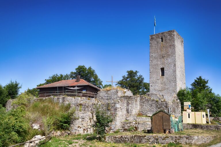
Burg Schwärzenberg: A Medieval Castle Ruin in Germany


Visitor Information
Google Rating: 4.3
Popularity: Very Low
Google Maps: View on Google Maps
Country: Germany
Civilization: Unclassified
Remains: Military
History
Burg Schwärzenberg is a hilltop castle ruin situated near the municipality of Strahlfeld in modern-day Germany. It was originally constructed during the Middle Ages by the noble von Fronau family, who are first mentioned in records from the early 12th century. The castle itself likely dates back to the 13th century and was established on land belonging to the Bishopric of Bamberg, reflecting the influence of religious authorities in the region during that period.
The earliest documented mention of the castle appears in 1306 within the fief records of the Bamberg bishopric, naming Andreas von Fronau as its lord. Later, around 1390, a notable member of the family, Peter Fronauer, became involved in hostilities by attacking merchants from Regensburg. This conflict led to significant changes in ownership; in 1400, Peter was compelled to sell half of the castle to his relative Hans Zenger von Zangenfels. Over time, the Zenger family, prominent nobles in the Upper Palatinate area, came to possess the entire estate.
Throughout the 16th century and into the early 17th, Burg Schwärzenberg changed hands multiple times, passing through the ownership of Georg von Murach, followed by the Freiherren von Weichs, the Freiherren von Muggenthal, and finally Dietrich Heinrich von Plettenberg. By 1606, the castle was already described as partially ruined and in a state of decay. Its decline culminated during the Thirty Years’ War when it suffered destruction. The site remained in ruin afterward, eventually becoming an archaeological and protected cultural heritage location centuries later.
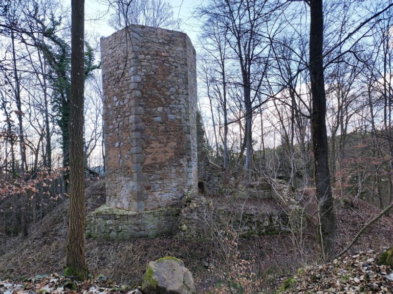
Remains
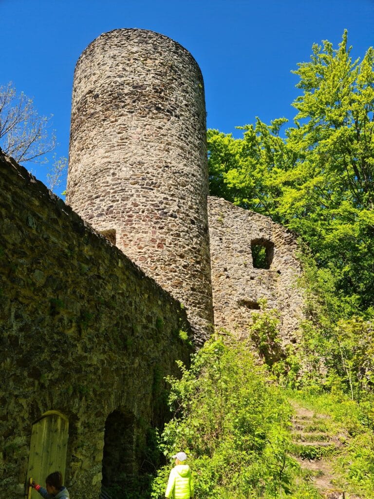
The ruins of Burg Schwärzenberg occupy a compact hilltop site centered on a rocky quartz outcrop rising 556 meters above sea level. The castle’s layout consisted of a core fortress area surrounded by defensive earthworks that mark the former boundaries of the outer ward, or bailey. These fortifications include a rampart and a moat positioned on the eastern side of the site, which remain clearly visible today and outline the shape of the castle’s enclosure.
Among the surviving structural elements are fragments of the residential tower, which once formed part of the main living quarters within the core of the castle. Notable features of this tower include a latrine oriel—a small projection housing a medieval toilet facility—and large openings that likely served as windows, providing light and ventilation. The remains of these elements attest to the castle’s function as a fortified noble residence during the medieval period.
The castle’s foundation on a prominent quartz rock outcrop contributes not only to its defensive advantages but also to its geological importance. This natural feature is now recognized as a designated nature reserve and geotope, highlighting its scientific and ecological value alongside its historical significance. Nearby, a quarry to the southwest of the ruins also receives geological protection, documenting the region’s natural heritage.
Archaeological investigations carried out around the turn of the 21st century uncovered portions of the castle platform and defensive ditches. These excavations helped clarify the site’s structural layout and provided material evidence from both medieval and early modern usage phases. Today, the entire site is protected as a cultural heritage monument, ensuring the preservation of its archaeological remains and maintaining its connection to the region’s past.
Nearby sites