Acueducto Romano Albarracín – Gea – Cella: A Roman Aqueduct in Spain


Visitor Information
Google Rating: 5
Popularity: Very Low
Google Maps: View on Google Maps
Official Website: turismocomarcateruel.com
Country: Spain
Civilization: Roman
Remains: Infrastructure

History
The Acueducto Romano Albarracín – Gea – Cella, including the section known as Tramo VI La Tejería, is located near the municipality of Cella in modern Spain. This aqueduct was built by the Romans during the 1st century AD as part of a major hydraulic project to transport water from the Guadalaviar River basin close to Albarracín to the Roman settlement of Cella.
Construction of the aqueduct took place under the direction of a specialized Roman administrative and technical group called the familia publica aquarum. This team included engineers, surveyors, administrators, foremen, plumbers, and public slaves, reflecting the advanced organization and engineering knowledge of the Roman Empire. The aqueduct’s route was carefully planned to follow the natural landscape, maintaining a gentle slope over nearly 25 kilometers of rugged terrain to ensure a steady flow of water.
The aqueduct primarily served to supply water to the urban center of Roman Cella from the 1st century BC onward. However, the volume of water it carried suggests it was also used for other purposes, such as powering artisanal workshops including fulling mills, forges, or watermills. The exact duration of its use is uncertain, but by the time of the Christian conquest of Cella, the aqueduct was no longer operational. After its abandonment, the underground sections of the aqueduct were repurposed as shelters for shepherds, farmers, and their animals.
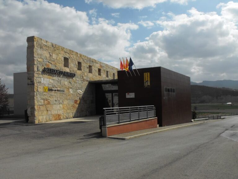
Archaeological excavations and research have confirmed the aqueduct’s dating and function. Local authorities have worked together to preserve and manage the site, including the installation of interpretive panels and the adaptation of several sections for public access.
Remains
The aqueduct extends for approximately 25 kilometers, with nearly 9 kilometers consisting of underground galleries carved into limestone rock. These subterranean passages vary in height from 170 to 220 centimeters and in width from 80 to 125 centimeters. Along the galleries, there are almost 100 ventilation shafts, known as putei or spiramina, spaced between 20 and 40 meters apart. These openings are closer together in curved or steep sections and farther apart in straight stretches. The ventilation windows served a dual purpose: they allowed workers to remove rock debris during construction and later provided access for maintenance and cleaning.
The aqueduct’s gradient averages between 2 and 3 per thousand, carefully adjusted along the route to maintain a consistent flow of water. It could carry a maximum discharge of around 267 to 300 liters per second, enough to supply up to 95,000 people, although the population of Cella was smaller. This suggests that the water was also used for irrigation and other agricultural needs.
Construction techniques vary along the aqueduct’s length. Most of the route consists of rock-cut channels and galleries, but from the La Tejería section onward, there are open-air channels carved into rock or formed with clay. The aqueduct includes several hydraulic features such as overflow channels, diversion canals likely intended for agricultural irrigation, and settling basins equipped with slots for gates and small walls designed to prevent sediment from clogging the system.
The final segment of the aqueduct near Cella is surfaced and lined internally with opus signinum, a waterproof Roman mortar made from crushed tiles and lime. This section ends in the main square of the town, marking the point where water was delivered to the urban area.
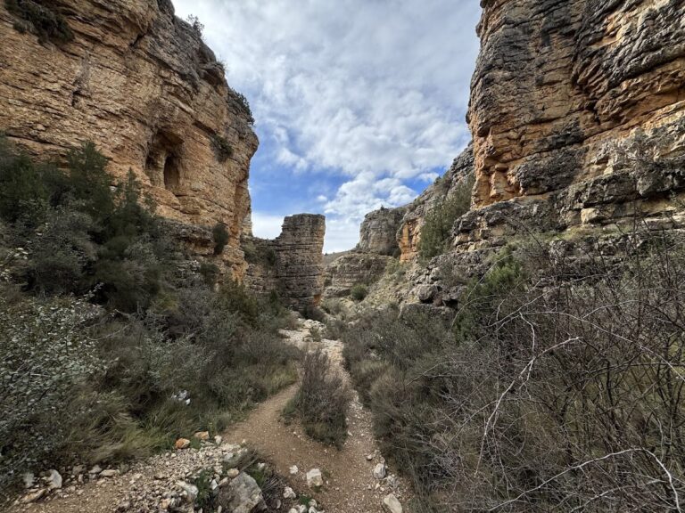
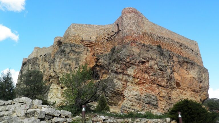
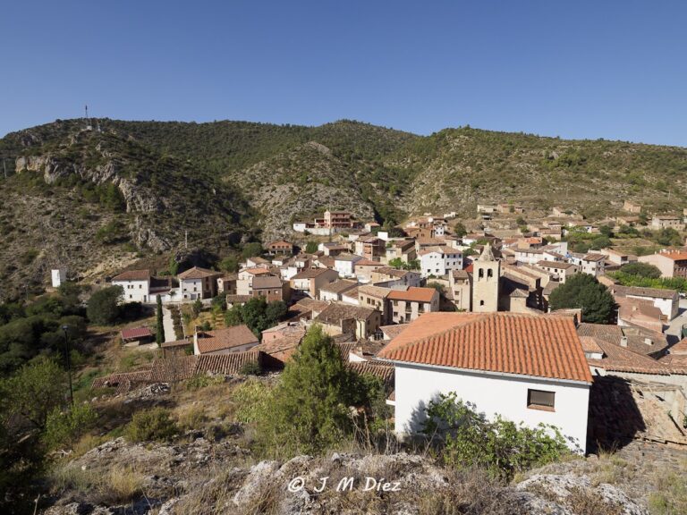
Several parts of the aqueduct have been adapted for visitors, including notable points such as the water intake near Albarracín, the Gallery of Mirrors close to Santa Croche Castle, the Azud of Gea de Albarracín with its numerous ventilation windows, the Barranco de los Burros featuring a sharp curve, and the deep underground galleries at Cañada de Monterde and Las Hoyas. The La Tejería section itself is characterized by open-air channels and is situated along the approach to Cella through agricultural fields and traditional rammed earth constructions.
Nearby sites