Castillo de El Cuervo: A Medieval Muslim Fortress in Teruel, Spain
Site at a Glance
- Rating
- 4.2
- Popularity
- Very Low
- Country
- Spain
- Primary era
- Medieval
- Eras represented
- Medieval
- Civilizations
- Unclassified
- Site type
- Military
- Remains
- Castle
On this page8 sections
History
Castillo de El Cuervo is a medieval Muslim fortress in El Cuervo, Spain, constructed during the twelfth century as part of a defensive line across the mountain routes of the region. The line linked Albarracín with Alpuente through Jabaloyas, Tormón, Castielfabib, Ademuz, and Santa Cruz de Moya. The castle occupied a strategic position above the Ebrón River and helped protect movement through the surrounding landscape.
Muslim Foundation and Christian Conquest
The fortress originated under Muslim rule during the twelfth century. Its position on a rocky hill gave it control over the river passage and routes crossing the mountains. During the Christian conquest of the region, the castle appeared in documents associated with the capture of Castielfabib on 19 September 1210. The record, signed by Peter II of Aragon, called it castellum quod dicitur lo Corbo, meaning “the castle called lo Corbo.” Peter II was king of Aragon from 1196 to 1213, during a period of Christian expansion in the Iberian Peninsula.
Fragmentary Survival and Protection
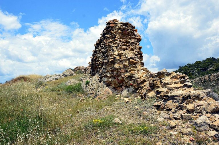
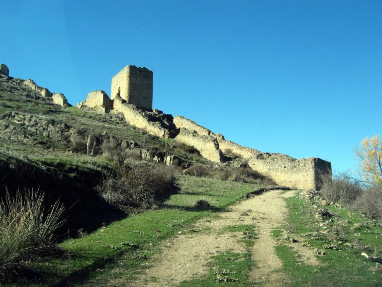
The medieval fortress survives in highly fragmentary form on the rocky hill east of El Cuervo. Its historical memory also remains in the names Calle Castillo and the Trascastillo area. The ruins were so limited that Andrés Valero did not include the castle in his 1960 study of the castles of Teruel, and Cristóbal Guitart Aparicio likewise omitted it from his 1987 study.
Castillo de El Cuervo is classified as a castle and archaeological area and designated an Asset of Cultural Interest. It also benefits from Spain’s general legal protection for castles under the Decree of 22 April 1949 and Law 16/1985 concerning the protection of Spanish historical heritage.
Remains
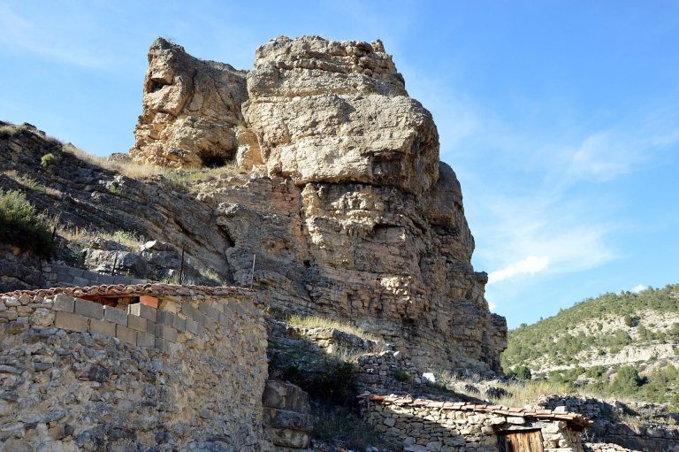
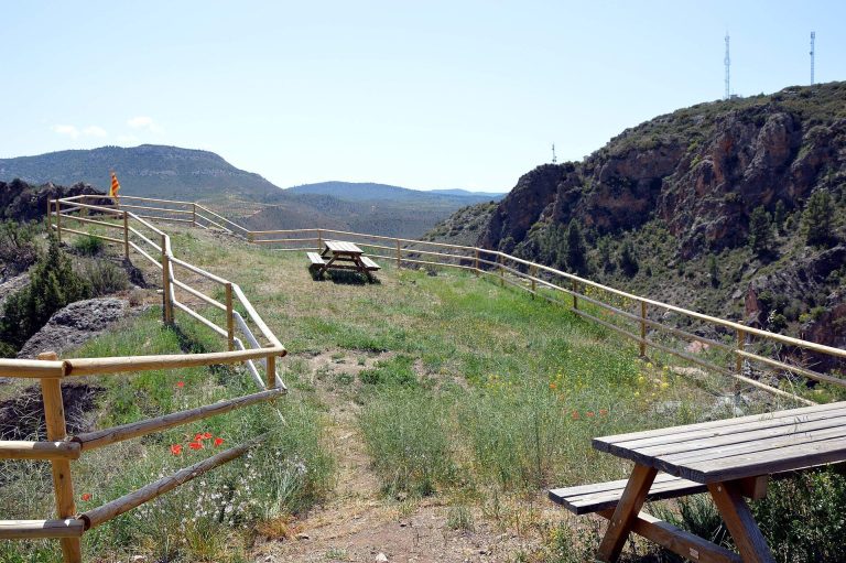
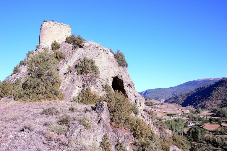
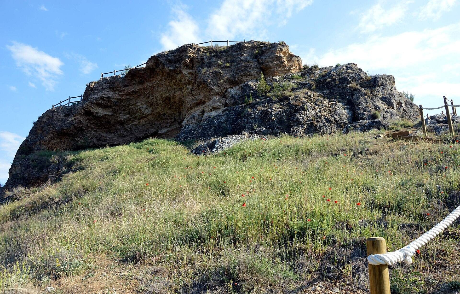
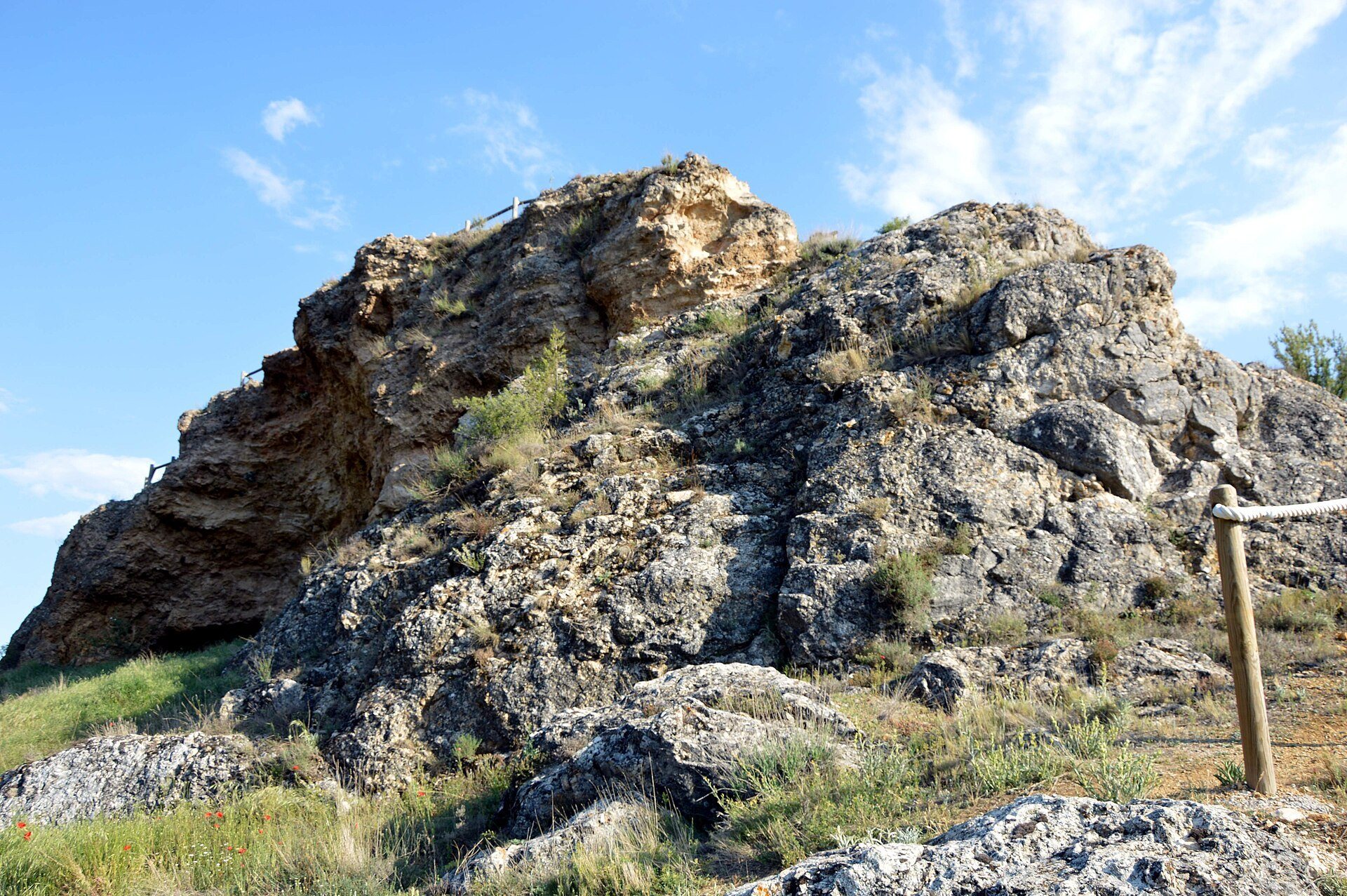
The remains occupy a substantial rocky hill east of the settlement. The summit forms a shallow, triangular plateau adapted to the rugged terrain and sloping southward, with the northern side standing higher than the southern side. On the eastern side, cultivated land fills the broad meander of the Ebrón River. From the summit, the site overlooks El Cuervo and its parish church to the west, while the Ebrón floodplain extends around the hill from north to south and continues toward Castielfabib.
Summit Features
Cueva de los Moros
In the higher northern part of the summit, a large cavity called the Cueva de los Moros, or Cueva del Moro, is cut into the tuff stone. Stone steps carved into the same rock lead into the cavity, making it one of the clearest surviving features of the summit.
Southern Cistern
The lower southern area contains the partly buried remains of a cistern, a structure used for storing water. Its vault has collapsed, leaving the surviving masonry concealed in part beneath the ground.
Hill Base and Defensive Setting
The castle had an irregular plan shaped by the rocky hill and functioned as a tactical defensive fortification. Its position allowed it to protect the passage of the Ebrón River and the mountain routes connected with the wider defensive line.
A stretch of wall may have enclosed the eastern base of the hill, forming an alabar, or service area associated with the fortress. This area occupied what is now an abandoned threshing floor with a hay-stacking space and several ruined hay barns. The surviving terrain and scattered remains preserve the relationship between the elevated defensive position and the working area below.