Roman Aqueduct Gea: Ancient Water Infrastructure in Teruel, Spain


Site at a Glance
- Rating
- 4.2
- Popularity
- Low
- Country
- Spain
- External website
- Open
- Eras represented
- Classical
- Civilizations
- Roman
- Site type
- Infrastructure
- Remains
- Aqueduct
History
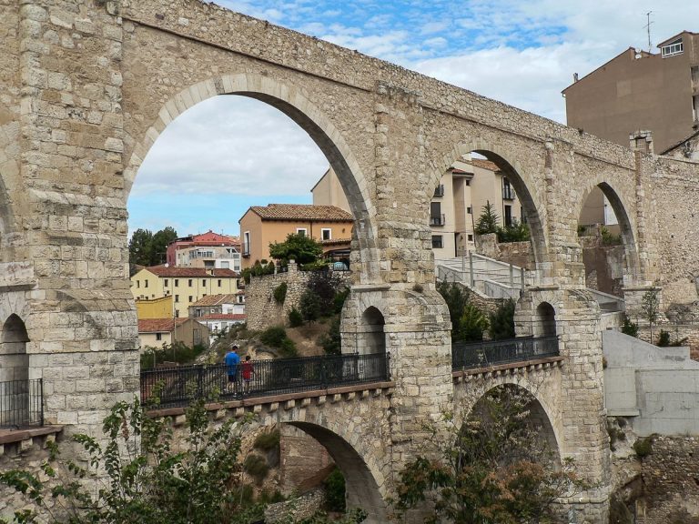
The Roman Aqueduct Gea is located in Gea de Albarracín, within the province of Teruel, Spain. This structure was built by the Romans, who occupied the Iberian Peninsula and developed extensive water management systems to support their settlements.
The aqueduct was constructed during the Roman Imperial period. It originated in the springs of Albarracín, a reliable aquifer of the Guadalaviar basin, and stretched for roughly 25 kilometres before reaching Cella. Its course was carefully adjusted to the contours of the rugged landscape, maintaining a steady gradient of about two per thousand. To overcome obstacles, engineers combined rock-cut passages, open-air channels, and long underground galleries.
Remains
The Roman aqueduct linking Albarracín to Cella is one of the most ambitious hydraulic works in Hispania. Known since the Middle Ages, its memory preserved in references such as the Poem of Mio Cid where the town appears as “Celfa del Canal”, its existence has been confirmed through extensive excavations. These investigations date the construction to the 1st century AD and have traced its full layout.
From La Cañada de Monterde onwards, the channel ran entirely underground, in places descending 25–60 metres beneath the surface. Ventilation and access shafts (putei or spiraculi) were sunk every 20–40 metres, enabling construction teams to dig simultaneously from multiple points and later providing access for cleaning. These tunnels, cut through limestone, generally measured around 1.7–2.2 metres in height and 0.8–1.25 metres in width. Spillways and settling basins helped regulate flow and remove impurities before the water entered the main channel.
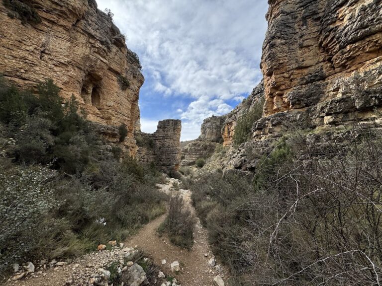
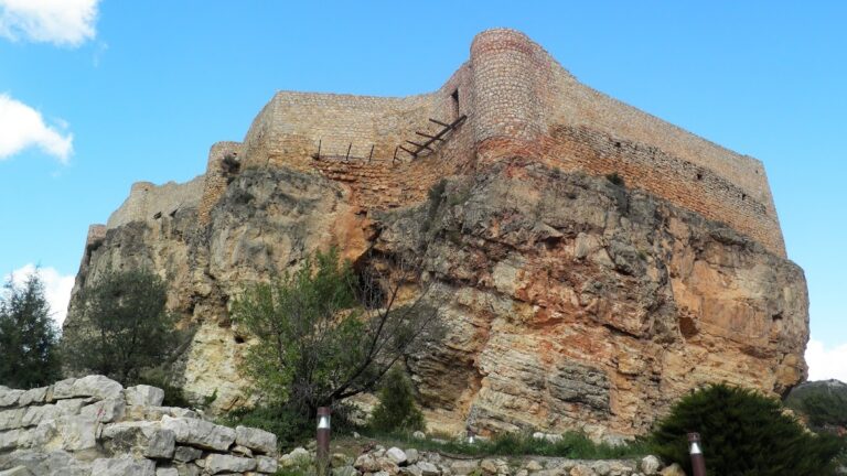
Important stretches remain visible at several points along the line: beneath Santa Croche castle in the so-called “mirror gallery,” at the Gea dam, in the Barranco de los Burros ravine, at Las Hoyas, La Tejería, and finally within Cella itself. Here, the channel emerges into the open, cut into rock or clay, and once reached the town’s main square with an interior lining of opus signinum.
Hydraulic studies estimate the aqueduct could carry up to 267 litres per second—around 23,000 cubic metres daily. This would have been sufficient to serve a population of nearly 95,000, far exceeding the size of Roman Cella. Much of the supply was therefore diverted to irrigation, underlining the agricultural role of the plateau.
The aqueduct demonstrates the adaptability of Roman engineering to complex terrain, combining galleries, shafts, and open channels to maintain continuous flow across a varied landscape. Local authorities have established a joint management programme to preserve and present the remains. A visitor centre at Gea de Albarracín and several signposted stretches allow exploration of the aqueduct’s route.
Seven accessible sections provide insight into its construction techniques:
- Albarracín Dam – collection point on the Guadalaviar (modern structure).
- Santa Croche Gallery – rock-cut tunnel with ventilation windows.
- Gea Dam – aqueduct running along steep slopes with frequent openings.
- Barranco de los Burros – dramatic rock-cut curve following the ravine.
- Cañada de Monterde and Las Hoyas – underground galleries with deep shafts.
- La Tejería – the final shafts before the channel emerges.
- Cella – open channel leading into the town.
This aqueduct remains one of the finest examples of Roman hydraulic engineering in the Iberian Peninsula, both for its technical sophistication and for the scale of water it delivered.