Castillo de Salvaleón: A Frontier Fortress in Spain
Site at a Glance
- Rating
- 4.2
- Popularity
- Very Low
- Country
- Spain
- Primary era
- Medieval
- Eras represented
- Medieval
- Civilizations
- Almohad, Kingdom of León
- Site type
- Military
- Remains
- Castle
On this page8 sections
History
Arab Origins and Leonese Reconquest
Castillo de Salvaleón is a ruined fortress in Spain, associated with the now-depopulated settlement of the same name near Valverde del Fresno in the Sierra de Gata. Its origins lie in an Arab fortress dating to the twelfth century. The stronghold formed part of a chain of defenses along the Portuguese frontier, an area of strategic importance to the Kingdom of León.
In 1227, Alfonso IX of León reconquered Salvaleón. A reconstruction of the fortress during the thirteenth century is attributed to him. The king granted the stronghold to the Order of Alcántara, a military-religious order that administered fortified territories and settlements in medieval Iberia, and issued the settlement a fuero, a charter defining its legal rights, duties, and privileges. By the middle of the thirteenth century, Salvaleón had become an encomienda, or territorial commandery, of the order.
Decline and Protection
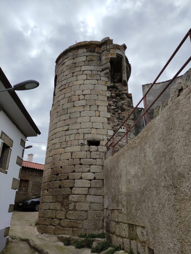
Salvaleón ceased to be an encomienda in the mid-fifteenth century. Its power then declined, and the fortress was progressively abandoned. Over the following centuries, the castle and its installations deteriorated into piles of stone and other construction materials. Specialists have inferred the approximate layout of the stronghold from these fragmentary remains.
The site is protected under the general provisions of the Decree of 22 April 1949 and Spain’s Historical Heritage Law 16/1985. On 3 September 1991, it was designated an Asset of Cultural Interest as a Historic Complex, Spain’s statutory heritage designation for protected sites of this kind.
Remains
Hilltop Fortress and Outer Enclosure
Upper Fortress
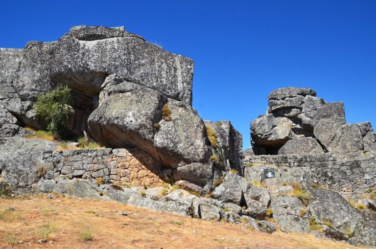
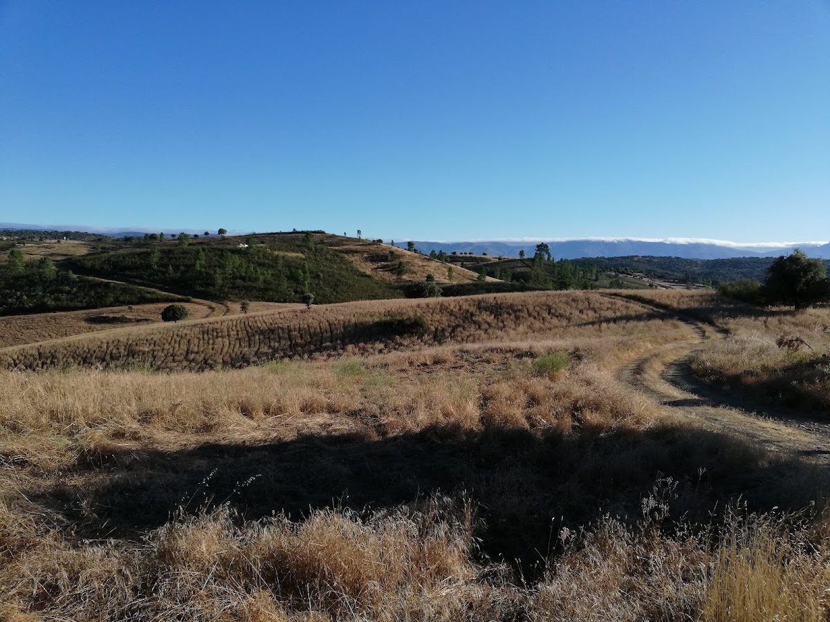
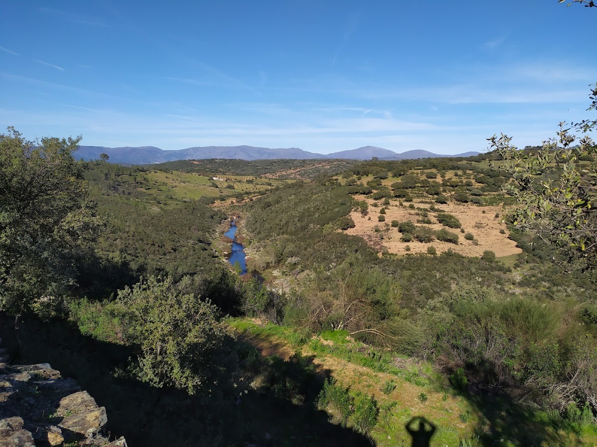
The castle ruins and the remains of the former walled settlement stand near the confluence of the Erges and Bazágueda rivers, beside the Portuguese frontier. The main fortress occupied the summit of a hill approximately 510 metres above sea level. Its plan was oval, and a perimeter moat cut directly into the rock surrounded it.
Lower Enclosure
A second enclosure extended at a lower elevation and followed the contours of the terrain. Together, the surviving traces of the upper and lower areas provide the basis for reconstructing the settlement’s approximate organization, although the former buildings and installations are now largely reduced to scattered stones and other construction materials.
Construction and Survival
The earliest construction used rammed earth, a technique in which moist earth is compacted within temporary forms to create walls. Later building phases employed stone and rubble masonry. These successive materials reflect the fortress’s development from its earlier construction to the later medieval rebuilding associated with Alfonso IX. Centuries of abandonment left the structures in ruins, preserving the site mainly through fragmentary wall remains and construction debris.