Burgruine Osternohe: A Medieval Noble Castle and Administrative Seat in Germany

Site at a Glance
- Rating
- 4.3
- Popularity
- Very Low
- Country
- Germany
- Primary era
- Medieval
- Eras represented
- Medieval, Modern
- Civilizations
- Holy Roman Empire
- Site type
- Military
- Remains
- Castle
On this page9 sections
History
Burgruine Osternohe is the ruin of a high-medieval noble castle in Germany, above Osternohe near Schnaittach in Middle Franconia, Bavaria. Its construction is generally placed provisionally around 1200, although its precise age remains unresolved. The castle later became a burgravial and margravial administrative seat, linking the hilltop fortress to the territorial government of the region.
The Osternohe family
The name Osternohe first appears in 1169 with Poppo de Osternahe. It is uncertain whether his family already occupied the hilltop castle at that time or lived instead in a motte castle in the valley, possibly at a site described in documents as a “tower meadow.” The hilltop fortress was named in a 1228 charter as castrum Osternach, a Latin expression meaning Osternohe castle, in a document confirmed by King Henry VII.
The nobles of Osternohe probably belonged to the higher imperial ministerial class, a group of medieval service nobles who held offices and fiefs from powerful lords. Poppo II and his brother Konrad witnessed a charter for King Philip in 1199. Poppo III was a canon of Würzburg between 1211 and 1220, while Poppo IV became the most prominent member of the family.
Poppo IV joined Emperor Frederick II’s crusade to Jerusalem in 1229 and fought at the Battle of Liegnitz in 1241. He served as Grand Master, the supreme head of the Teutonic Order, from 1253 to 1257. He may have participated in the foundation of Königsberg, resigned because of illness in 1257, and became commander of the order’s Regensburg commandery, a local administrative center, in 1264. He probably died in 1265 and was buried at Mallersdorf Abbey.
Transfer to the Hohenlohe and Nuremberg rulers
The Osternohe family was related to the Franconian dynastic house of Hohenlohe. In 1254, Engelhard de Osterna sold the castle to Gottfried of Hohenlohe. A document from 1327 names Rienold of the Neidunge family as being from Osternohe, and Wolfram, a Vogt of Osternohe, appears in 1330. A Vogt was an official who administered a lord’s territorial or judicial interests.
The authority represented by these officials is uncertain. Gottfried of Hohenlohe-Brauneck is believed to have sold Osternohe, together with other possessions, to Frederick IV, Burgrave of Nuremberg, in 1326, although the sale itself is not preserved. A burgravial Vogt at Osternohe is securely known from 1354. The castle served as a burgravial administrative seat from 1385 and as a margravial administrative seat from 1427.
War, restoration, and abandonment
On 9 March 1450, during the First Margrave War, troops from Nuremberg partly destroyed the castle by burning its outer bailey, or lower castle. Hans von Egloffstein restored it after 1457 and continued to serve there as a margravial official until the 1470s.
The castle suffered a second major attack during the Second Margrave War, a sixteenth-century conflict in which Albrecht II Alcibiades fought, among others, against the imperial city of Nuremberg. Nuremberg mercenaries plundered and burned Osternohe on 23 May 1553. The castle had been restored by 1573 at the latest and remained a margravial administrative seat until 1722.
The administrative district had been raised to an Oberamt, or higher-level administrative district, in 1694. An administrative reform abolished it in 1766 and assigned its territory to the Oberamt of Pegnitz. The castle had already become uninhabitable, and its buildings continued to decay. Lightning later damaged the keep, while local inhabitants took stone from the remaining structures for reuse.
Survey, preservation, and restoration
Johann Christoph Stierlein completed a highly precise map of the castle area in 1816, preserving the arrangement of the surviving remains. Parts of the ruin were privatized during the early nineteenth century, and the complex later faced complete demolition. The castle historian and preservation advocate Hellmut Kunstmann prevented that outcome.
The keep was restored in 1968, but the work changed its form from the original pentagonal structure to the square tower stump visible today. The rest of the castle complex has continued to deteriorate. Burgruine Osternohe is recognized as an architectural heritage monument in Bavaria and forms part of the protected cultural-heritage complex D-5-6434-0123 in Schnaittach.
Remains
Hilltop setting and castle layout
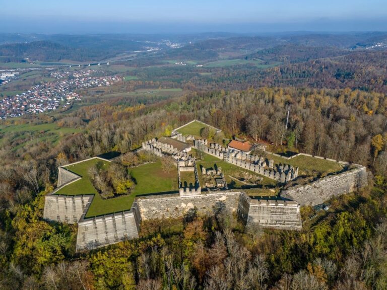
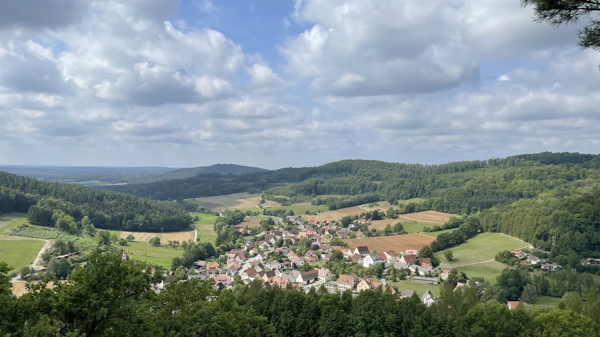
Burgruine Osternohe occupies a rocky spur of the Schlossberg at approximately 515 meters above sea level. The spur is oriented toward the southwest, and the fortress stands above the settlement of Schlossberg within the Franconian Switzerland–Franconian Jura Nature Park. Its plan consists of an upper castle and a lower castle, also known as an outer bailey. The lower castle is largely privately owned, while the surviving complex is a partially restored ruin.
The keep
The original keep was pentagonal and had an outer facing of large ashlar blocks. This masonry, in which carefully shaped stone blocks form the visible surface, provides the principal architectural basis for placing the structure cautiously in the decades around 1200. Historical photographs and a drawing made by J. L. Hoffmann in 1773 show the keep before later damage and alteration. The present keep is a square tower stump created by the 1968 restoration, rather than a reconstruction of the original pentagonal form.
Surviving buildings and recorded remains
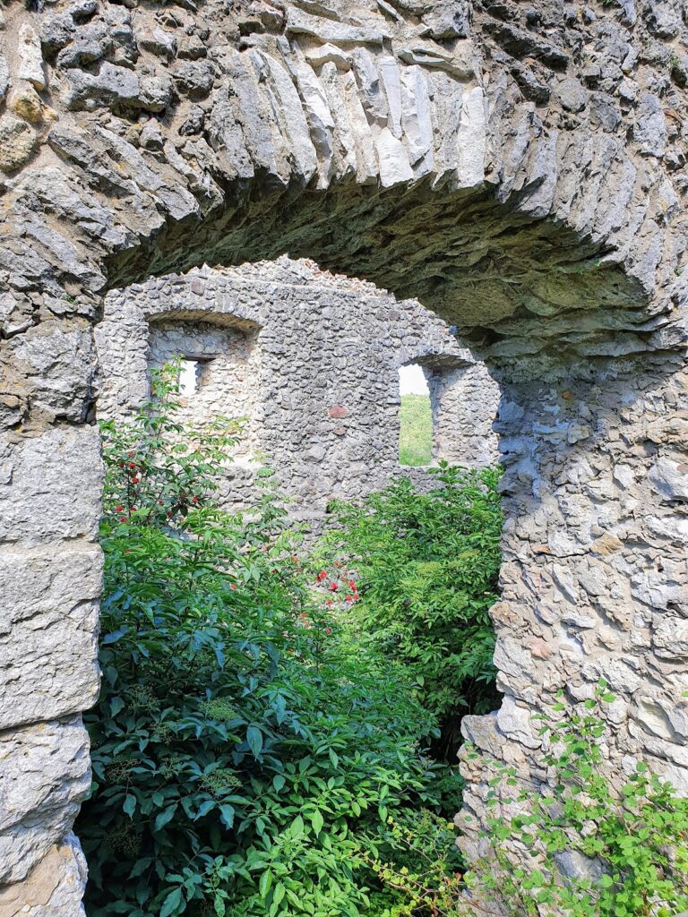
The remaining buildings and sections of the castle are largely ruined. Some of their fabric disappeared after the complex ceased to be habitable, when local people used the structures as a source of building stone. Stierlein’s 1816 map preserves the surviving layout and remains of the castle area with unusual precision for its time, providing a detailed record of the arrangement before further deterioration.