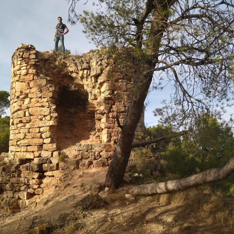
Castell de Miralles: A Medieval Fortress in Santa Maria de Miralles, Spain
Visitor Information
Google Rating: 4.4
Popularity: Low
Official Website: invarquit.cultura.gencat.cat
Country: Spain
Civilization: Unclassified
Site type: Military
Remains: Castle
History
The Castell de Miralles is located in the municipality of Santa Maria de Miralles, Spain. It was built by the medieval Catalan civilization during the 10th century as part of a strategic effort to secure and repopulate the Anoia river valley.
The earliest known record of the castle dates back to the year 960, when Count Borrell II granted the nearby castle of La Roqueta to Isarn, son of Sal·la of Sant Benet. Later, in 987, Borrell II transferred half of the rights and properties of Miralles to the Bishop of Vic. The bishop then granted these rights to Ennyec Bonfill de Cervelló, who already controlled the other half, establishing the Cervelló family’s long association with the castle. Throughout the 11th and 12th centuries, the castle remained in the hands of the Cervelló lineage, passing through heirs such as Hug de Cervelló in 1018 and Guerau Alamany in 1079. By the 12th century, the Miralles family served as vassals under the Cervellós, indicating a feudal relationship within the region.
In the mid-14th century, specifically in 1347, Guerau de Cervelló identified himself as the lord of the barony of La Llacuna, which included the Castell de Miralles. The castle played a notable role during the Catalan Civil War in 1463, when control of the fortress shifted between forces loyal to the Generalitat (the Catalan government) and those supporting King Joan II. This conflict highlights the castle’s military importance during periods of regional unrest.
Ownership of the castle later passed to the Alagó family, followed by the Montcada family, who held the title of marquises of Aitona, and eventually to the Fernández de Córdoba family, dukes of Medinaceli. By the 19th century, jurisdiction over the castle’s lands was shared between the marquises of Aitona and Moja. However, by 1845, the castle itself was recorded as being in complete ruin. Despite this, some of the lower houses associated with the site remained inhabited until the time of the Spanish Civil War in the 20th century.
In recent years, efforts to preserve and adapt parts of the castle have been undertaken. In 2017, a wooden staircase and floors were installed inside the eastern tower to create a lookout point. This work was carried out under the direction of architect Carles Solsona Piña in collaboration with the local heritage service of the Diputació de Barcelona.
Remains
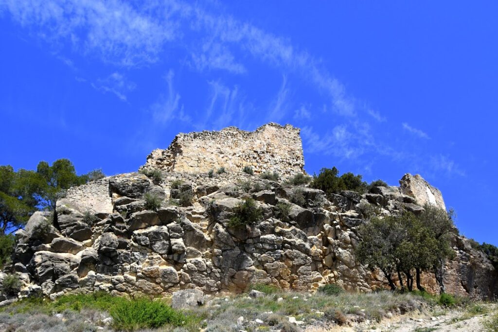
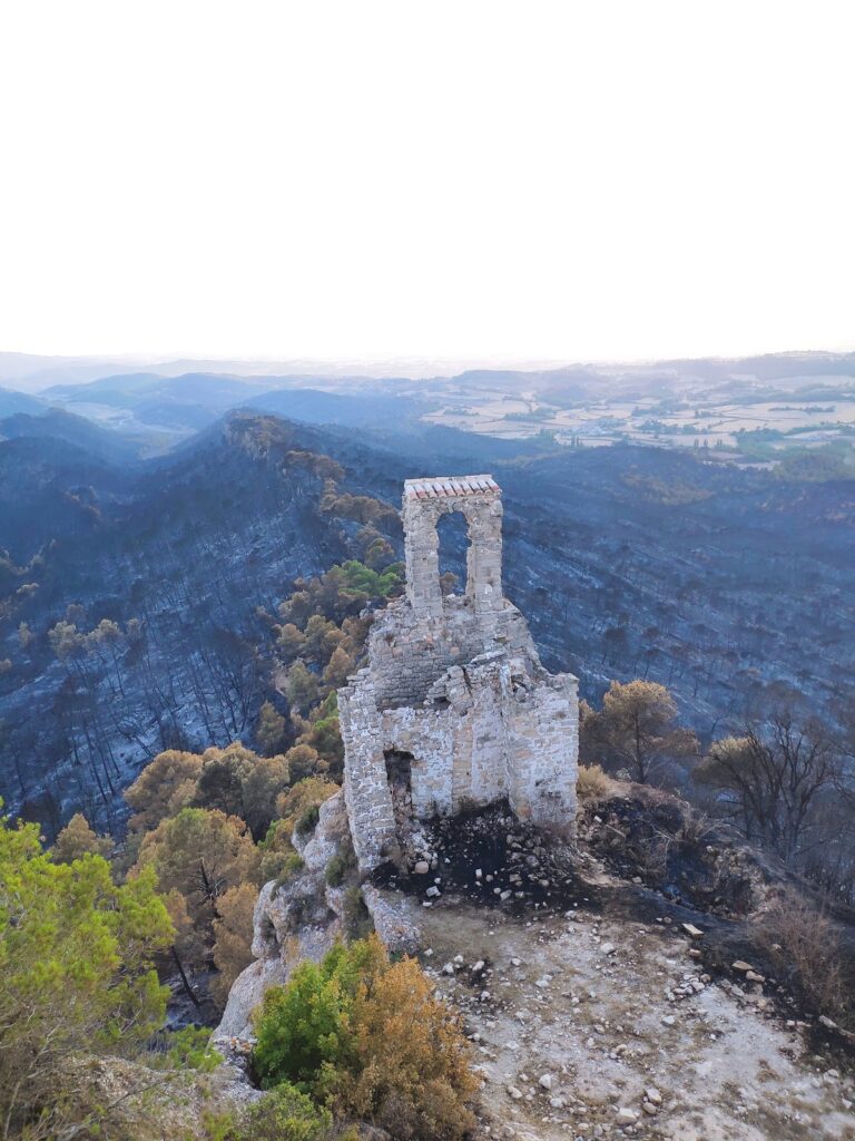
The Castell de Miralles is situated atop a hill reaching 662 meters in the Serra de Miralles, overlooking the upper valley of the Miralles stream. The castle’s layout adapts to the natural terrain and is divided into two main sections: the upper, or souverain, area and the lower, or jussana, area.
The upper section consists of a nearly rectangular building with rounded corners, measuring roughly between 28.7 and 31 meters in length and 20.6 to 23 meters in width. The walls here are constructed from small, roughly shaped ashlar stones—blocks of stone cut to a rectangular shape—sometimes arranged in a herringbone pattern known as opus spicatum. These stones are held together with mortar. The walls often stand more than three meters high and are about one meter thick, except for the southeast corner where the thickness increases to 1.5 meters, and the southern wall, which was later reinforced to nearly two meters thick. Access to this upper area was originally through a door on the northern side of the western wall, though only the southern side of this doorway remains today. A second entrance, heavily damaged, was located on the northern side of the eastern wall.
Defensive features include four simple arrow slits—narrow vertical openings used by archers—located below the northern wall’s offset. These slits are approximately 45 centimeters wide on the inside, allowing defenders to shoot while remaining protected. Additional arrow slits are found on the southeast and western walls, providing coverage of the surrounding area.
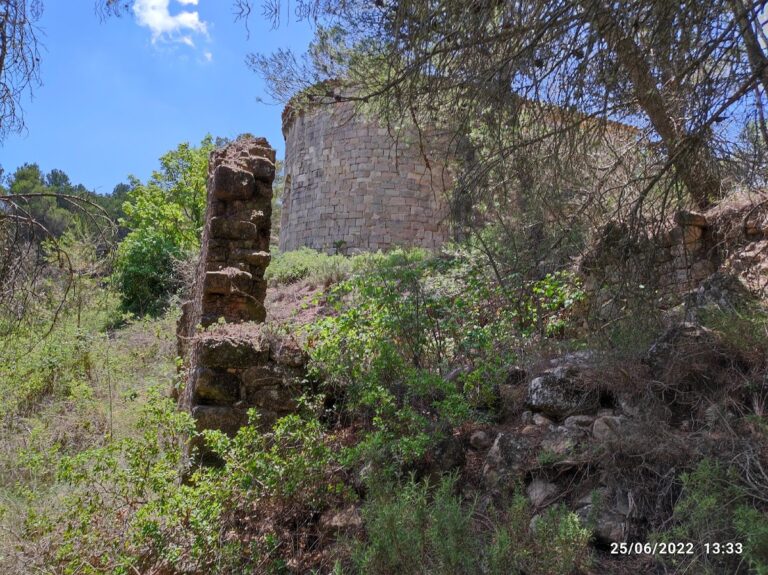
The lower section of the castle includes a south-facing open area, or esplanade, bordered by a ruined wall facing the valley. This area is defined by two towers. At the eastern end stands a large square albarrana tower, a type of defensive tower detached from the main walls but connected by a bridge or wall, which likely dates to the 13th century. This tower replaced an earlier foundation tower, indicating a phase of reconstruction or strengthening during the medieval period. On the western side, a smaller semicircular tower survives, probably from the original 10th-century construction. This tower measures 5.2 meters internally in length and 1.9 meters in width, with walls about 80 centimeters thick. It is built from small stones bonded with lime mortar, a common medieval building technique.
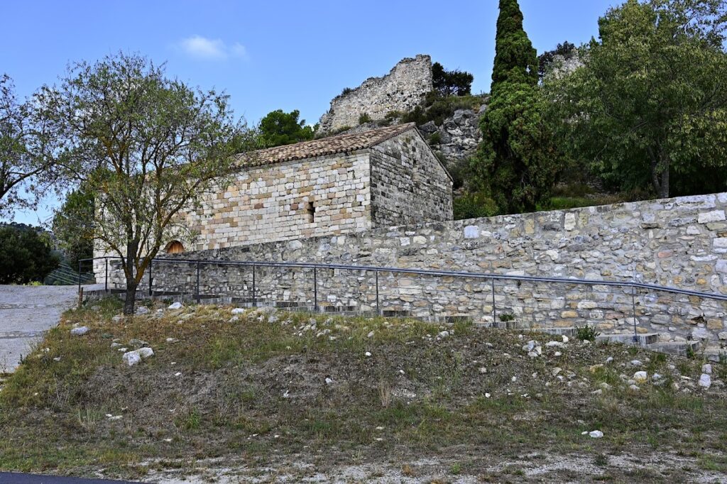
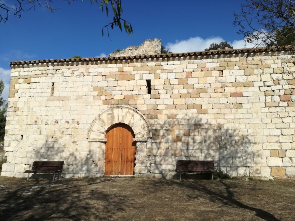
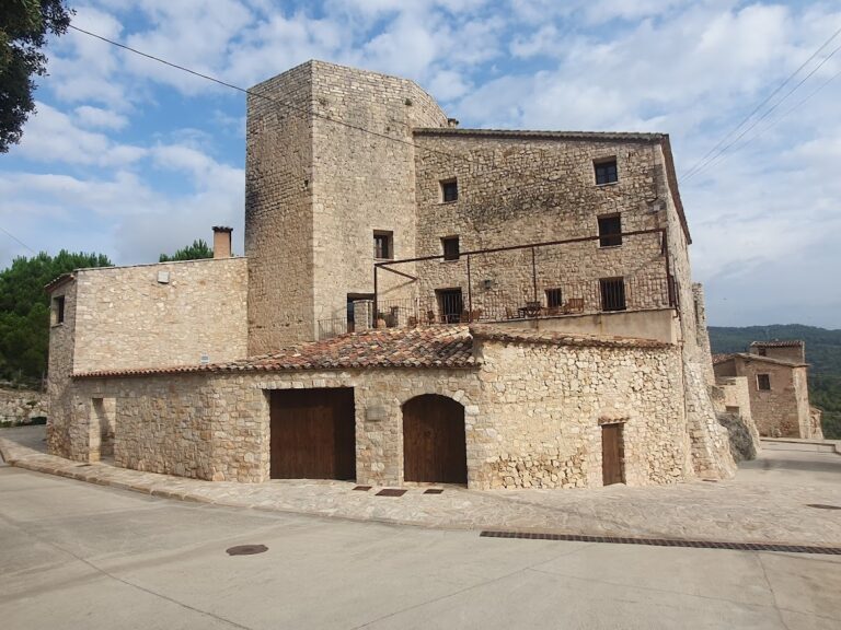
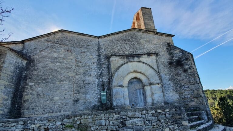
Approximately 30 meters south of the castle, beyond the Romanesque church of Santa Maria—which dates from the 12th to 13th centuries—are the remains of five houses that have been rebuilt in modern times. The southern wall of these dwellings originally served as a defensive front, featuring towers at each end, suggesting that this area once formed part of the castle’s outer defenses or settlement.
Together, these remains illustrate the castle’s evolution from a 10th-century fortress into a more complex medieval stronghold, reflecting changes in military architecture and the shifting needs of its occupants over several centuries.
