Castello di Arco: A Medieval Fortress in Northern Italy


Visitor Information
Google Rating: 4.6
Popularity: Medium
Google Maps: View on Google Maps
Official Website: www.comune.arco.tn.it
Country: Italy
Civilization: Medieval European
Remains: Military
History
Castello di Arco is a medieval fortress situated above the town of Arco in northern Italy. The site’s earliest use dates to around 300 BCE, when local tribes sought refuge on the rocky promontory, but the initial fortifications as a castle were likely constructed by indigenous free nobles around the year 1000.
In its early medieval phase, the castle belonged collectively to the inhabitants of Arco as allodial property, a status confirmed by Federico d’Arco in 1196. Over time, it became the private domain of the noble Counts of Arco, whose influence centered on controlling the Sarca valley, a vital passage leading to northern Lake Garda. Throughout the Middle Ages, the fortress faced repeated sieges from regional lords, including forces from Seiano, Lodron, and even Venetian troops, but it retained a reputation for withstanding all assaults.
During the mid-13th century, the castle’s control shifted briefly: in 1253 it was partially entrusted to Ezzelino III da Romano, a noted leader of the Ghibelline faction, and then handed over to Trento’s Podestà. By 1272, the Arco counts regained possession under the overlordship of Meinhard II, ruler of Tyrol. In 1349, the Bishop of Trento expelled the Counts, granting the castle to the Scaliger family; nonetheless, a popular uprising restored Count Niccolò d’Arco to power.
The castle’s image was famously captured by Albrecht Dürer in 1495, who portrayed it as a fortified village. Disaster struck in 1542 when a large fire severely damaged the main buildings. Later in the 16th century, Archduke Ferdinand II of Tyrol seized the castle with imperial forces in 1579, forcing the counts to flee. They returned in 1614 after acknowledging Habsburg overlordship, marking a period of rebuilding.
Between 1665 and 1675, extensive restoration and remodeling were directed by Stefano Voltolino. Yet in 1680, Emperor Leopold I permanently deprived the Counts of Arco of their ancestral fiefdom. During the War of Spanish Succession in 1703, French troops led by General Vendôme laid siege, bombarded, and compelled the castle’s surrender. Following this military defeat, the fortress quickly fell into ruin, while the noble family relocated into separate branches in Bavaria and Mantua.
In the 20th century, Countess Giovanna d’Arco, Marchesa Guidi di Bagno, purchased the castle grounds in 1927, becoming its sole owner. Later, a family foundation in Mantua inherited the property. The municipality of Arco acquired the ruins in 1982 and established a museum on site. Starting in 1986, the Provincial Cultural Heritage Service of Trento initiated conservation, restoration, and archaeological research to stabilize the remains and better understand the castle’s long history.
Remains
The castle sits atop a steep rocky ridge about 273 meters above sea level, overlooking the Sarca valley. Spanning more than 23,000 square meters, the fortress occupies a natural crescent of rock separated from the nearby Colodri mountain by a deep saddle. Defensive walls concentrate on the south and west sides, where the terrain slopes less steeply, while sheer cliffs protect the north and northwest faces. Along these vulnerable approaches, a series of double-layered walls known as the Rivellino rise nearly 10 meters high and are up to two meters thick, constructed to impede attacking forces.
One of the fortress’s prominent features is the Hauptturm, or main tower, dating from around 1300. This Romanesque residential tower rises three stories and retains much of its exterior masonry, sporting battlements typical of northern Italian castles at that time. The only significant loss is the north-facing wall which no longer stands. The oldest tower on the site, the Rengheraturm, operates as a bergfried—a tall, defensive keep—positioned at the highest point of the hill. Its base contains fragments of an older structure beneath the visible walls. Characteristically, its entrance is elevated about seven meters above ground level, accessible only by a removable wooden ladder. Inside, this tower housed the “Renga,” a warning bell used to alert the castle and surrounding town to approaching danger.
At the northern edge of the fortress stands a well-preserved square watchtower, constructed of masonry and facing toward the settlement of Laghel. Its position allowed observation of movements in the valley below and along the old castle road connecting Arco to Laghel.
Water management was crucial during sieges, and the castle contains two large cisterns uncovered during late 20th-century restoration efforts. These reservoirs collected and stored rainwater to supply the inhabitants when external sources were cut off. Additionally, within the lower part of the castle sits a rock-cut dungeon locally referred to as the Felsengefängnis. Formed by enlarging a natural cave and sealed with an artificially blocked fissure, this underground prison featured a small window for light and ventilation. It was secured with two doors—the outermost equipped with a hatch enabling guards to provide supplies to captives without opening the main entrance.
Archaeological digs in the 1980s revealed the foundations of two earlier buildings within the complex, indicating multiple phases of construction. More strikingly, conserved 14th-century frescoes decorate some interior walls, illustrating courtly life scenes such as ladies and knights engaged in games like chess and dice, the legendary slaying of a dragon by Saint George, a knight’s ceremonial investiture, and a lady weaving garlands of roses. These artworks offer rich visual testimony to the cultural milieu during the castle’s medieval heyday.
Surrounded by rugged terrain, the site features a vertical drop of more than 100 meters to the Sarca valley on its southern side, enhancing its natural defense. This contrasts with gentler slopes on the southern and western sides, which the walls protect. The northwest side hosts a small woodland dominated by stone oaks. Steep rock faces, once used for challenging climbing routes on the east, are now closed to climbers for preservation reasons.
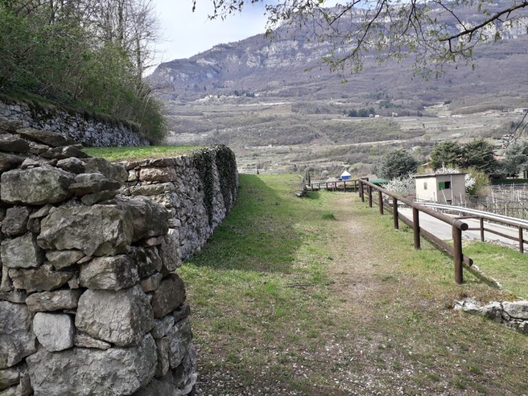
Access to the castle traditionally follows fortified paths winding through olive groves, beginning in the town below and climbing approximately 120 meters. The old castle road traces a route through the landscape to Laghel, emphasizing the fortress’s strategic role controlling valley approaches. Today, the surviving ruins maintain a clear connection to their medieval defensive and residential functions, preserving the layers of history embedded in stone and fresco.
Nearby sites