Rüdberg Castle Ruin: A Medieval Fortress near Oberhelfenschwil, Switzerland


Visitor Information
Google Rating: 4.2
Popularity: Very Low
Google Maps: View on Google Maps
Country: Switzerland
Civilization: Unclassified
Remains: Military
History
Rüdberg Castle Ruin is located near the municipality of Oberhelfenschwil in Switzerland. This medieval fortress was established by the Germanic nobility during the 13th century.
The earliest known record of the castle dates back to 1270, where it appears under the Latin name “Castrum Rudeberg.” Its name connects to the Toggenburg family, prominent regional rulers whose coat of arms featured a hunting dog, or “Rüden.” This link suggests the castle was either founded or controlled by this noble family. During the year 1275, Rüdberg Castle served as a boundary marker during the division of possessions between two counts from the Toggenburg lineage, Friedrich and Diethelm, highlighting its importance in defining territorial limits.
Throughout the 13th and 14th centuries, the castle remained in the hands of the local lords named after Rüdberg, whose records show involvement in various feudal dealings. Ownership at times involved transfers between influential entities such as the Abbey of St. Gallen and the Werdenberg-Heiligenberg noble family, indicating the castle’s role in regional power negotiations. Although individuals with the Rüdberg name continue to appear in documents through the 15th century, definitive ties to the original castle-holding family become unclear.
In 1468, the site came under the direct control of the Abbey of St. Gallen. After this acquisition, the fortress was no longer maintained and gradually fell into ruin. Historical mentions as late as 1504 still recognized the location as a castle, even as it was evidently abandoned. The site remained forgotten until the mid-20th century when it was rediscovered and examined.
Remains
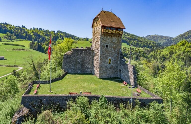
The remnants of Rüdberg Castle occupy a strategic hilltop position overlooking the Thur River valley. Positioned on a rocky spur rising about 50 meters above the river, the site benefited from natural defenses provided by steep slopes on three sides. Overlooking a key medieval route connecting the towns of Wil and Wattwil through the Toggenburg region, the castle’s placement combined both defensive advantage and regional oversight.
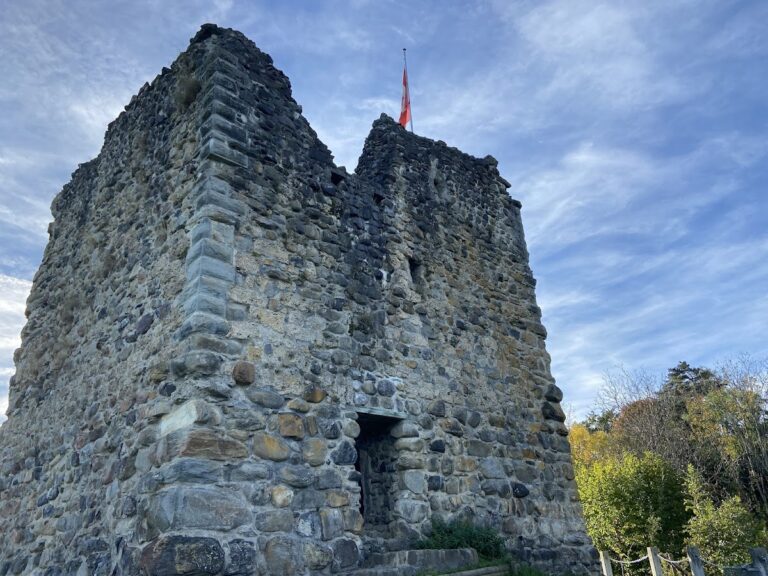
The castle complex consisted primarily of a circular defensive wall enclosing a residential building and a fortified tower. The curtain wall and tower show differences in construction methods, indicating they were built during separate phases rather than simultaneously. The tower, positioned on the east side—the only approach lacking natural barriers—was square in shape, measuring roughly 8 by 8 meters at its base. Its lower sections were constructed from large, rounded blocks of Nagelfluh conglomerate, a type of sedimentary rock, while the upper levels were made using tuff stone blocks, a volcanic rock known for its workable texture.
An entrance into the tower at ground level was not part of the original design; this feature was created during 20th-century conservation work after excavations exposed the structure. The main gate to the castle complex faced west and may have been preceded by a small outer defensive courtyard known as a zwinger, designed to delay attackers.
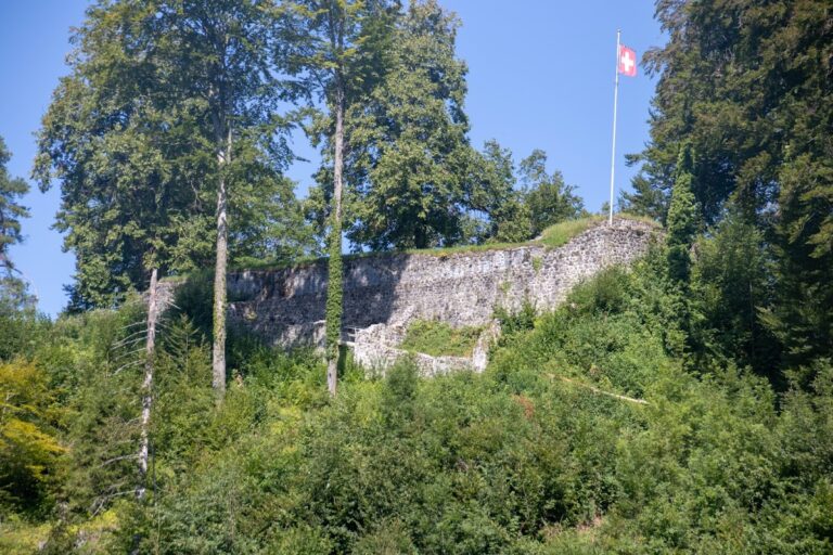
To the west of the main castle area, beyond the curtain walls and stretching toward the river, lies a large unfenced open space. This area is believed to have served as pastureland for livestock, supporting the castle’s inhabitants. The ruins remain partially conserved but have not undergone formal archaeological digs, preserving the basic layout and stonework as a tangible link to its medieval past.
Nearby sites