Meyrargues: A Roman Aqueduct Site in France
Visitor Information
Popularity: Very Low
Google Maps: View on Google Maps
Country: France
Civilization: Roman
Remains: Infrastructure
History
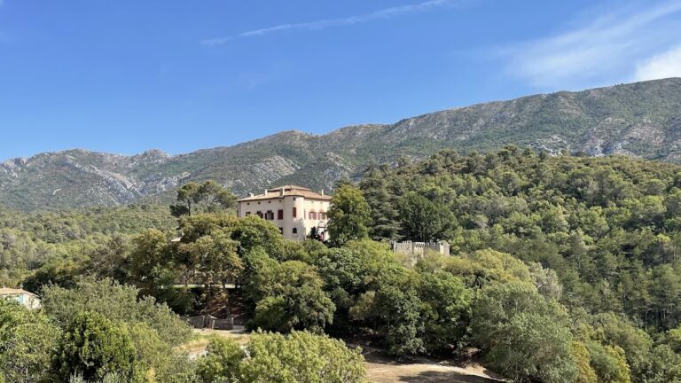
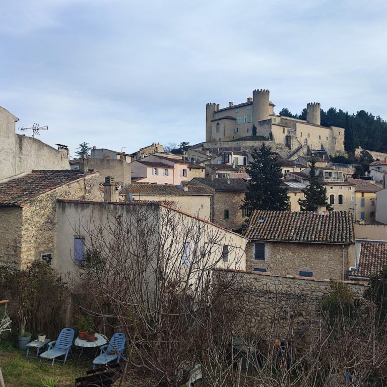
The Meyrargues site, located in the municipality of Meyrargues in modern-day France, was constructed by the Romans as part of their extensive water supply system. It formed a segment of the Traconnade aqueduct, which served the Roman town of Aquae Sextiae, known today as Aix-en-Provence.
The aqueduct was built during Roman times to transport water from sources near Bouillidous, east of Jouques, over a distance of about 50 kilometers to Aquae Sextiae. This engineering project was designed with a gentle slope to maintain a steady flow of water. At Meyrargues, the aqueduct’s route required crossing two deep valleys, which was achieved by constructing bridges. After these crossings, the aqueduct turned southward toward the city.
The Traconnade aqueduct was part of a broader network of at least three aqueducts supplying Aquae Sextiae, alongside the Saint-Antonin and Vauvenargues aqueducts. A notable feature of the Traconnade system was a long tunnel beneath the Venelles plateau, extending 7 to 8 kilometers and built using deep vertical shafts up to 80 meters in depth. Although this tunnel has not been fully located or excavated, it demonstrates the complexity of Roman hydraulic engineering in the region.
In the 19th century, the Roman tunnel near Meyrargues was considered for reuse in modern water supply projects. However, engineers ultimately chose to bypass it, opting instead to construct the Roquefavour bridge. This decision reflects the enduring influence of Roman infrastructure on later developments, even as new technologies and designs emerged.
Remains
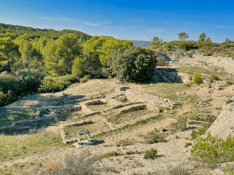
The remains at Meyrargues reveal a well-planned Roman aqueduct system that combined bridges, tunnels, and rock-cut channels to navigate the challenging terrain. The aqueduct channel itself was typically about 1.90 meters high and 0.60 meters wide, often carved directly into soft limestone. In areas where the rock was fractured, the channel was reinforced or replaced with masonry walls that were flush with the rock face, ensuring stability and water tightness.
One of the most prominent features is the Pas l’Etroit bridge, which spanned one of the deep valleys. This bridge measured approximately 40 meters in length and originally had eight arches. Today, two arches remain standing, each about 9 meters high, supported by five sturdy pillars. The arches were constructed using Roman concrete faced with small masonry blocks, known as “petit appareil.” The springing stones, which mark the point where the arch begins to curve, were made from single, thin slabs of limestone, showcasing Roman precision in stone cutting.
Nearby, the Réclavier bridge stands out as a large two-tiered aqueduct bridge. Its remains include visible piers on both sides of the valley, with the northern side particularly well preserved. This structure highlights the Romans’ ability to build multi-level bridges to maintain the aqueduct’s gradient across uneven landscapes.
The aqueduct’s construction also involved several manholes and deep shafts, some reaching depths of up to 80 meters. These shafts were used during the tunnel’s construction beneath the Venelles plateau and were sometimes lined with masonry to reinforce the structure. Vaults over the channel were formed using roughly shaped voussoirs, which are wedge-shaped stones that create a stable arch, supported by concrete foundations beneath the channel walls.
Today, the condition of the Meyrargues aqueduct varies. Some arches and piers remain standing and accessible, while other sections survive as rock cuts or partially flooded tunnels. The site includes documented access points and parking areas near the Pas l’Etroit and Réclavier bridges, where visitors can observe the enduring traces of this ancient water system.
Nearby sites