Pont Julien: A Roman Bridge on the Via Domitia in France

Site at a Glance
- Rating
- 4.5
- Popularity
- Medium
- Country
- France
- Primary era
- Classical
- Eras represented
- Classical
- Civilizations
- Roman
- Site type
- Infrastructure
- Remains
- Bridge
On this page6 sections
History
Pont Julien is a Roman bridge in France, near Bonnieux in southeastern France, traditionally dated to 3 BC. Built by the Romans, it carried the Via Domitia, the major road across southern Gaul linking the territories around Narbonne with Turin in northern Italy. The bridge stands at the outlet of the Roquefure gorge, about 5 kilometres north of Bonnieux and 8 kilometres west of Apt.
Roman origins
The bridge formed part of the route connecting Narbonne with Turin and replaced an earlier crossing. Traces of that predecessor remain visible around the piers. The name Pont Julien comes from the bridge’s proximity to Apt, known in Roman times as Colonia Apta Julia. The term colonia identified a Roman colonial settlement, while Apta Julia linked the town with the Julian family of Rome.
Continued use and protection
Pont Julien remained part of departmental road 108 and carried road traffic until spring 2005, after approximately 2,000 years of use. A nearby replacement bridge and a road diversion were opened to protect the ancient structure from further wear. Since then, Pont Julien has carried the Calavon cycle route, including a 37-kilometre cycling path and a crossing for cyclists and pedestrians. The route belongs to a project connecting Cavaillon with Volx through the Calavon valley. The bridge has been protected as a French Monument historique, a legal designation for historically or architecturally significant sites, since 1914.
Remains
Bridge structure
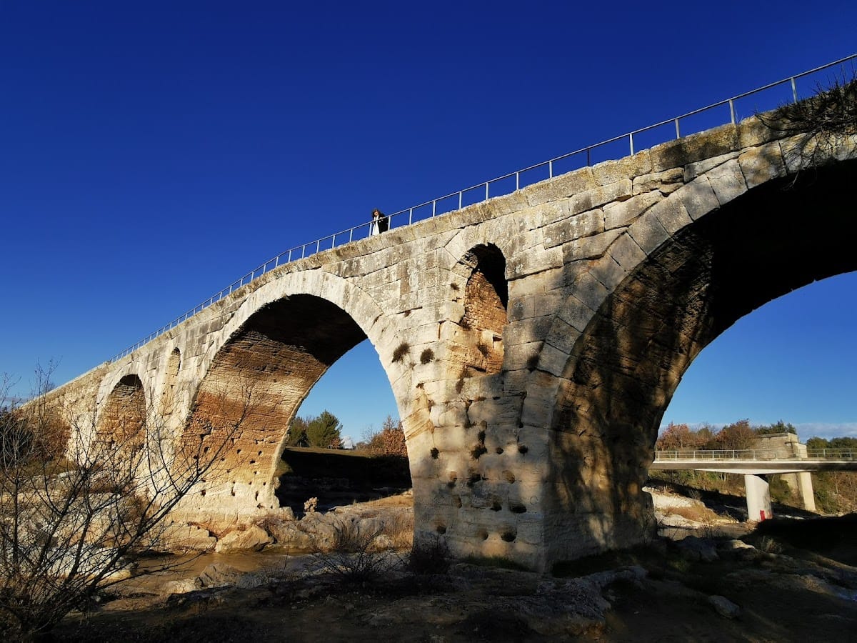
Pont Julien is a limestone masonry arch bridge about 80 metres long and 6 metres wide, with a roadway approximately 4.20 metres across. Three semicircular arches support the crossing. The central arch is higher than the two side arches and spans about 16 metres, while each side arch is approximately 10.20 metres wide. The bridge rises toward its centre, reaching about 11.50 metres in height, with roughly 9 metres of clearance beneath the central arch.
The bridge was built from large, finely cut limestone blocks quarried in the nearby Luberon. Its intermediate piers contain large arched flood openings, also called relieving outlets, which allow floodwater to pass through and reduce pressure on the structure. On the upstream side, semicircular cutwaters, or projecting features that divide the current, protect the piers. The remains of the earlier bridge can be seen around some of them.
Roadway and river crossing
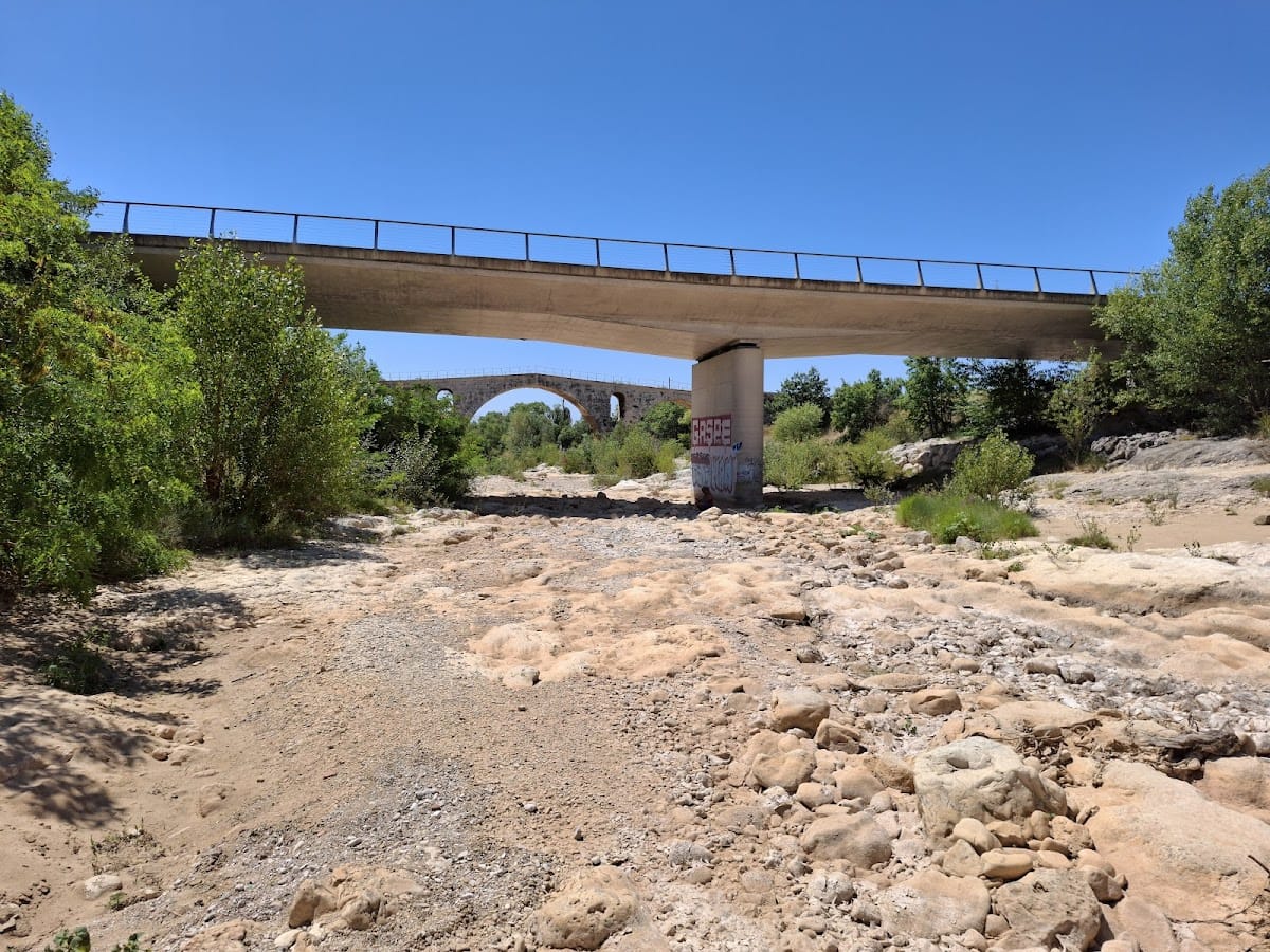
The ancient roadway of the Via Domitia remains visible both upstream and downstream from the bridge. Its downstream trace can be followed for approximately 6 kilometres, where it crossed the Calavon, also called the Coulon, in a staggered alignment. A modern bridge stands about 100 metres away and carries the diverted road, leaving Pont Julien to serve the Calavon cycle route and its cycle and pedestrian crossing.