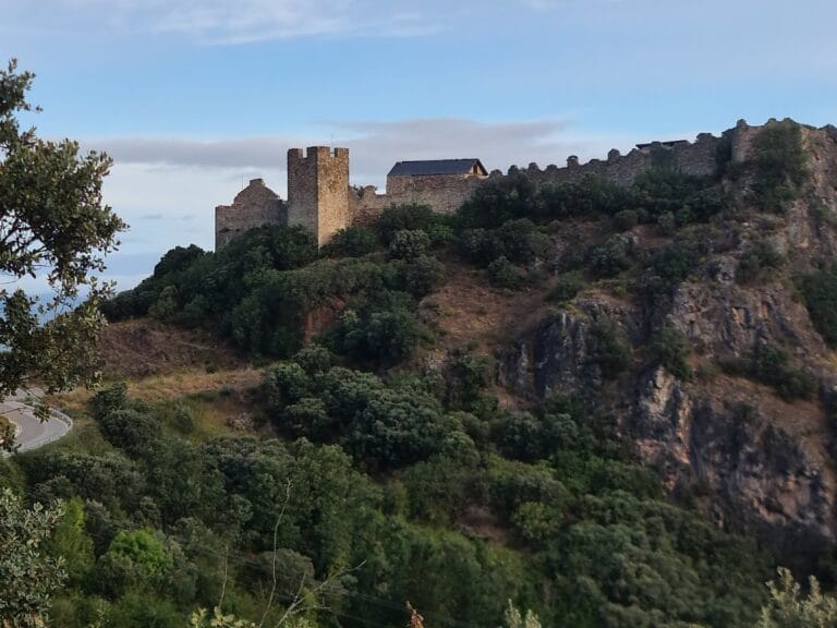
Las Médulas: Roman Gold Mining Site in Northern Spain


Visitor Information
Google Rating: 4.7
Popularity: Medium
Google Maps: View on Google Maps
Official Website: www.turismodelbierzo.es
Country: Spain
Civilization: Roman
Remains: Economic

History
Las Médulas is located near the village of the same name in El Bierzo, within the province of León, in the Castilla y León region of northern Spain. This site was developed by the Romans as an open-pit gold mine during the early years of the Roman Empire. The mining began under Emperor Octavian Augustus, who led military campaigns between 26 and 19 BCE to conquer the northern Iberian peoples, including the Astures and Cantabri, securing Roman control over the region.
Before Roman intervention, indigenous pre-Roman communities had already exploited the area by panning for alluvial gold in nearby streams. The Romans expanded this activity significantly, introducing large-scale hydraulic mining techniques. The site remained active for about two and a half centuries, with mining operations ceasing by the late 2nd or early 3rd century CE due to depletion of gold resources.
Ancient writer Pliny the Elder, who once managed the mines, recorded an annual gold production of roughly 20,000 Roman pounds and estimated a total extraction of around 5 million pounds over 250 years. He also described the harsh conditions faced by the workforce, which he claimed included 60,000 freedmen slaves. Modern studies suggest a smaller labor force of 10,000 to 20,000 workers, including suppliers and guards, based on the volume of earth moved.
The name “Las Médulas” may derive from local terms for conical haystacks or from Latin words such as “meta” or “metalla,” meaning goal or mine. Some scholars link the name to the debated location of the ancient Monte Medulio, a site of historical significance in the region. The site’s dramatic landscape, shaped by Roman mining, has been recognized for its cultural and archaeological importance, receiving official protection as a Spanish Bien de Interés Cultural in 1996, a UNESCO World Heritage Site in 1997, and a Natural Monument in 2002.
Remains
Las Médulas is characterized by a vast network of Roman hydraulic mining works that transformed the natural landscape. The Romans used a technique called ruina montium, or “wrecking of mountains,” which involved storing water in reservoirs at the mountain’s summit and releasing it through steep underground galleries. This sudden release caused the rock to collapse, allowing miners to wash the gold-bearing earth to collection points.
The hydraulic system includes over 400 kilometers of channels, some extending more than 100 kilometers. These channels have a gentle slope between 0.6% and 1%, are about 1.28 meters wide (widening to 1.60 meters in curves), and approximately 90 centimeters deep. Some sections run as tunnels beneath rock formations. Water was sourced from the northeastern slope of Mount Teleno, at around 2,000 meters altitude, where snowmelt fed the Río Cabo, a tributary of the Río Cabrera. Seven channels circled the mountain, directing water to reservoirs built by leveling and excavating the terrain, with embankments formed from the removed earth. These reservoirs featured sluice gates to regulate water flow.
The mining drastically altered the landscape, removing large portions of the mountain and depositing debris in designated areas for washing. This created a distinctive red sandy terrain, now partially covered by chestnut and oak trees. Among the surviving features is the Orellán water gallery, a 100-meter-long tunnel accessible from the Mirador de Orellán viewpoint.
The surrounding area contains archaeological remains such as a Roman castro, a fortified settlement near the village of Orellán, and cave excavations including the Cuevas de Reirigo and Cueva de la Chaira, which extend over 250 meters. The landscape has developed into a cultural park with centuries-old chestnut trees and diverse wildlife, including wild boar, roe deer, and more than 100 bird species concentrated near the Río Cabrera and the Lago de Carucedo, a lake formed by sediment accumulation from mining waters.
Nearby sites