Castell de Castellolí: A Medieval Fortress in Catalonia, Spain


Visitor Information
Google Rating: 4.1
Popularity: Low
Google Maps: View on Google Maps
Country: Spain
Civilization: Medieval European
Remains: Military
History
The Castell de Castellolí is located within the municipality of Castellolí in Spain. It is a medieval fortress built by the nobility of the time to control important local routes and territories.
The castle’s earliest known mention dates back to July 990, when it was referred to as “castrum Audelino” in connection with a land donation near its grounds. This name is believed to come from a nobleman named Eulí, Aulí, or Odelí, showing the personalized naming practices of early medieval fortifications. In 1003, a noble named Audesindo died defending the castle during a Saracen siege, highlighting its strategic importance during a period when Christian and Muslim forces contested the region.
During the 11th and 12th centuries, the castle appears in documents under various names such as Adolino, Odolini, Udulini, Odolino, and Odilone. These variations reflect linguistic changes and scribal practices of the era. At this time, the castle was linked to the monastery of Sant Cugat del Vallès and became involved in local territorial disputes, showing its role not only as a military site but also as a center for landholding conflicts.
The castle’s castellany, or administrative jurisdiction, was placed under Viscount Reverter by Ramon Berenguer IV in 1131, together with other castles, marking its integration into feudal networks. Later, in 1268, King Jaume I ordered the transfer of the fortress into the hands of a royal agent from the Viscount of Cardona, demonstrating the castle’s continued importance and its incorporation into the holdings of one of Catalonia’s prominent noble families.
Throughout the 14th and 15th centuries, the Castell de Castellolí remained connected to the Cardona counts and became a focal point in local power struggles. It was involved in conflicts with the nearby town of Igualada and experienced factional fights between groups known as the “Castellaulins” and the “Ocellons.” These disputes escalated to the extent that royal authorities stepped in to restore order in 1384.
Hostilities between the castle’s lords and the royal town of Igualada continued into the 17th century. During the Catalan Revolt, also known as the Guerra dels Segadors (1640–1652), the castle was used strategically to try to halt advancing Castilian forces. Its last known military function came in the early 19th century when it served as a garrison for Carlist troops during the civil conflicts in Spain.
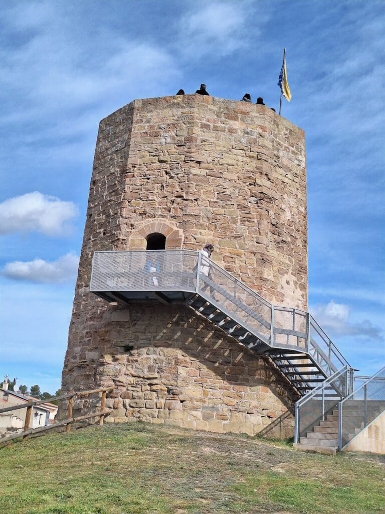
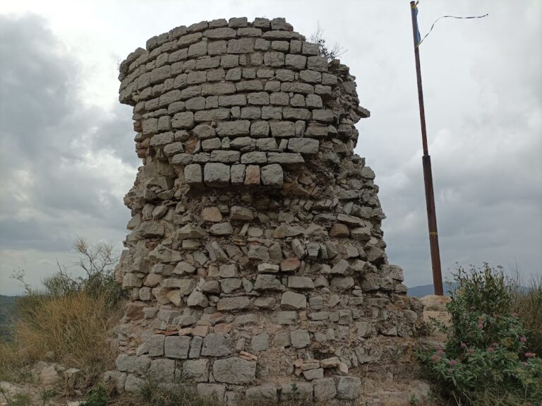
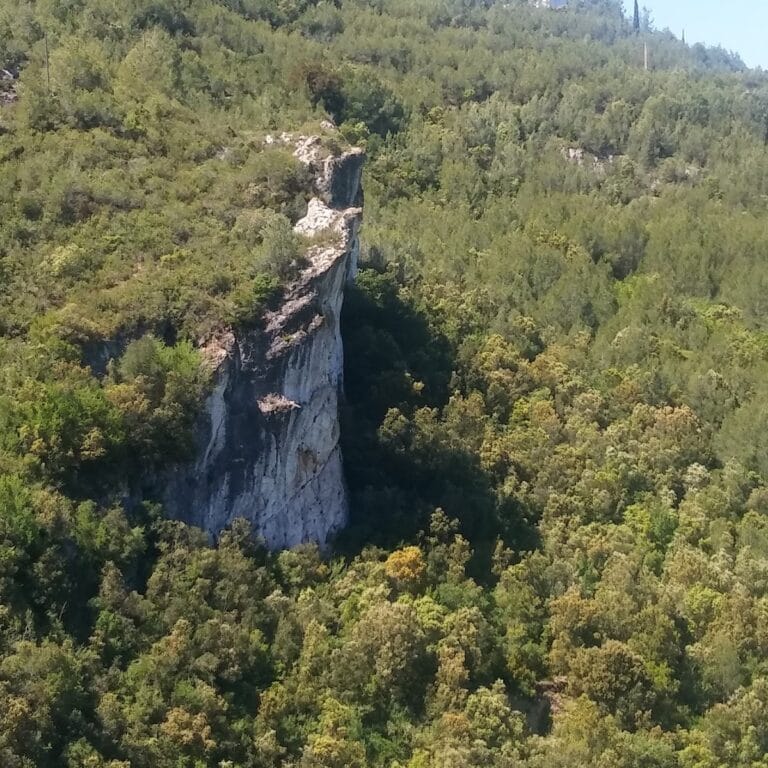
Remains
The Castell de Castellolí stands today as a set of ruins that provide insight into its construction and defensive functions. The surviving walls are made from large, carefully cut local stone blocks bound together with mortar, demonstrating skilled masonry techniques. Some sections of these walls date to later periods beyond the Middle Ages, indicating modifications or repairs carried out after the castle’s initial construction.
Within the remains, there is a large cistern used for collecting and storing water, an essential feature for sustaining defenders during sieges. The site also contains two vaulted rooms covered with semicircular barrel vaults—a type of curved ceiling that forms a continuous arch, providing both strength and protection. These rooms likely served practical or residential purposes inside the fortress.
One striking later addition is a quadrangular tower equipped with loopholes—narrow vertical slits used for observation and archery—that was adapted for optical telegraphy. This system was a form of early visual communication using signals, marking the castle’s continued strategic use into more recent times.
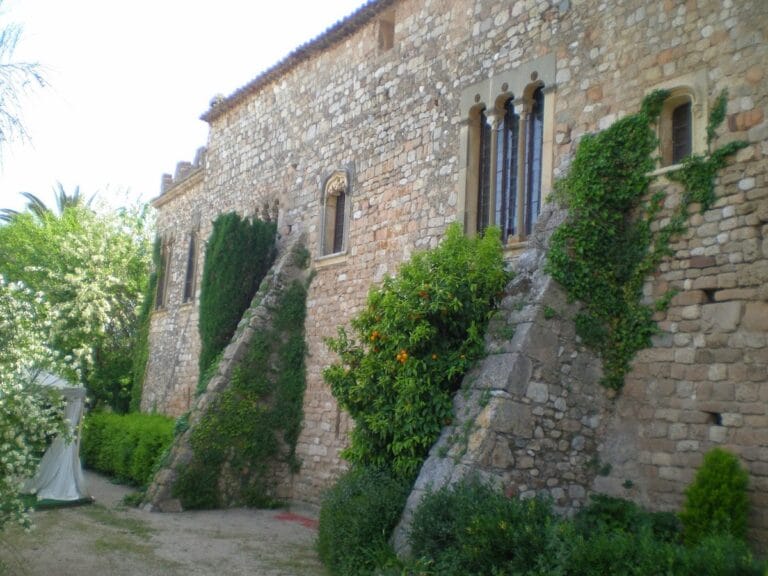
Close to the castle’s ruins stands the former Romanesque parish church of Sant Vicenç, which was in use until 1705. Originally dedicated to Sant Feliu, the church features a simple, single nave covered by a barrel vault. Its exterior walls are supported at intervals by small buttresses, structural supports that strengthen the building. The apse, the semicircular or polygonal area at the east end of the church, displays decorative Lombard bands—rows of small arches characteristic of Romanesque art—and vertical lesenes, which are flat pilaster strips providing visual rhythm. The church’s carefully finished small stone blocks reveal refined craftsmanship, and it probably had a tiled roof.
Strategically, the castle occupied a commanding position overseeing a key route linking the town of Igualada and the Òdena basin with Barcelona through the Brucs pass. This location complemented the nearby Castell de Claramunt, which controlled another important path toward the Penedès region via the Capellades pass, together forming a network of fortifications guarding vital communications and trade routes.
Nearby sites