Castell de Cornil: A Medieval Castle above the Ter Valley


Site at a Glance
- Rating
- 5
- Popularity
- Very Low
- Country
- Spain
- Primary era
- Medieval
- Eras represented
- Medieval
- Civilizations
- Unclassified
- Site type
- Military
- Remains
- Castle
On this page9 sections
History
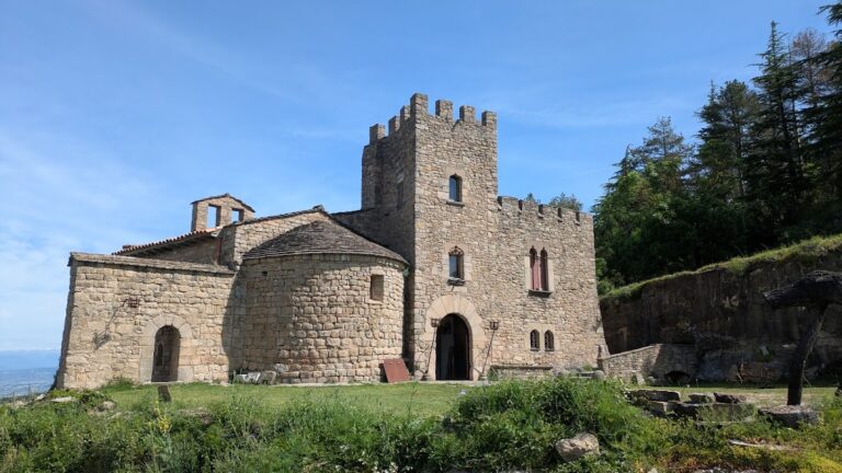
Castell de Cornil is a medieval castle near Tavertet in Spain, generally dated to the eleventh or twelfth century. Traditionally identified with the castle of the Tavertet family, it has also been associated by the historian Antoni Pladevall i Font with the castle called “Cornile.” Its position and later history connect it with the Rock of Sau and the lordship of the Sau valley.
Early records and the Sau valley
The site first appears in written records in 917, when Adal and his wife, Gisclavara, sold land that they held at Cornil. The place was also known as Cornile or Corneli. The wills of Borrell and Ingilrada, dated 970 and 981, describe them as lords of an extensive allod, a freehold estate, and holders of seigneurial rights, meaning jurisdictional and economic powers over the territory. They were the parents of Borrell, bishop of Vic.
The name Cornil continued in use until the eleventh century, when references began to identify the area with the Sau valley. During the thirteenth century, the site was also called the Rock of Sau or Buoll. The counts of Barcelona held the territory in eminent lordship at a very early period, while the principal feudatories were the Cabrera family, a prominent Catalan noble lineage.
Cabrera lordship
The Sau castellan family, whose members administered and defended the castle on behalf of a higher lord, held the Rock of Sau and the surrounding territory from around 1120 to 1130. They also held the Cascabous, or Pi de Sau, residence, and increased their rights through the administration of other properties and jurisdictions. In 1315, Bernat d’Esquerit appears as a possible subcastellan, a subordinate castle official and guardian of the Rock of Sau, although his family does not recur in the surviving references.
In 1247, Berenguer de Cabrera, castellan of Cabrera, left his possessions at Sau to his son Arnau. These holdings had come through Arnau’s mother, Beatriu de Castelló, and included the Rock of Sau. Arnau was later involved in a lawsuit concerning “Bisuldumo” in 1287, brought by Gastó de Bearn of the Montcada family.
Isabel de Cabrera purchased full jurisdiction over the Sau valley from the king in 1336. In 1352, Artal de Cabrera sold the valley and its parishes to Viscount Bernat II de Cabrera for 7,000 sous. In 1356, King Pere the Ceremonious, also known as Peter IV of Aragon, incorporated the Rock of Sau into the County of Osona, which he created for Viscount Bernat III de Cabrera. The Rock and the valley remained under Cabrera lordship and followed the fortunes of the family’s other possessions, including Castell de Cabrera.
Later castellan families and survival
At the beginning of the fifteenth century, the castellan family adopted the name Vilafreser after a marriage alliance. Around 1443, the Vilanova family replaced them as the castellan feudatories of Savassona, continuing to hold the lordship through the succession of related family lines that also affected Castell de Savassona.
Specific information about the construction of the castle is lacking, but it was still standing in 1472, after the end of the war between the Generalitat, Catalonia’s representative governing institution, and King Joan II. The castle is identified with the Rock of Sau, whose name changed over time between “rock,” “fortress,” and “castle.” Castell de Cornil is protected as a Cultural Asset of National Interest, Catalonia’s highest statutory heritage classification, and as a Spanish cultural-interest monument under reference RI-51-0005774.
Remains
Defensive enclosure on Puig de la Força
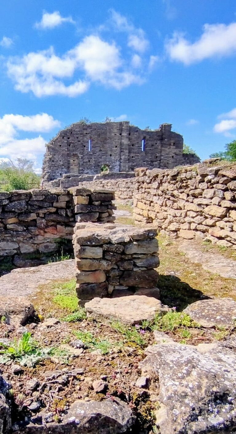
The remains stand at about 675 metres above sea level on Puig de la Força, at the narrow isthmus separating the peak from the Tavertet escarpment. The position overlooks the Ter valley and the Balà ravine. Because the isthmus formed the only vulnerable approach, it appears to have been the fortified sector. Several walls form the base of a defensive enclosure, while earthworks enlarged the platform used for habitation.
Possible tower
At the most prominent point are the remains of an almost square structure with an interior side measuring approximately 3 metres. It may have been a tower. The surrounding wall continues on both sides, although its original ending is unknown.
Rock-cut cistern
A cistern on the northern side of Puig de la Força was cut directly into the rock. Its opening was covered by a vault built from masonry blocks, providing a water-storage feature within the fortified area.
Domestic shelters
Two dwellings occupied a level ledge in the middle of the escarpment, where their builders used natural rock shelters. The southern dwelling is better preserved. The other lies on the eastern side of Puig de la Força. Their surviving remains consist of walls that closed the shelters and traces of hearths, whose fires darkened the rock over time.
The defensive and domestic structures use the same masonry technique. Medium-sized stones, carefully faced into nearly parallelepiped shapes, were laid in regular courses with a relatively soft mortar made from sand, lime, and clay. Other rock-shelter dwellings survive in the Tavertet area, some occupied until relatively recently, but the masonry of the Puig de la Força dwellings is clearly earlier in date.