Castell de Rupit: A Romanesque Fortification in Catalonia
Site at a Glance
- Rating
- 4.4
- Popularity
- Very Low
- Country
- Spain
- Primary era
- Medieval
- Eras represented
- Medieval
- Civilizations
- Unclassified
- Site type
- Military
- Remains
- Castle
On this page8 sections
History
Castell de Rupit is a ruined Romanesque fortification in Spain, built during the eleventh century as the successor to the earlier Castle of Fàbregues. Its history belongs to the reorganization of the County of Osona and to the feudal division of the surrounding territory.
From Fàbregues to Rupit
During Wilfred the Hairy’s reconstitution of Osona in the late ninth century, Fàbregues served as the center of a broad territorial district organized around its castle. Wilfred the Hairy was a ninth-century count associated with the consolidation of the Catalan counties, including Osona. Fàbregues is first recorded in 968.
When Fàbregues was abandoned in the early eleventh century, its former district was divided between Rupit and Fornils. Rupit included the parishes of Sant Miquel de Rupit, Sant Andreu de Pruit, and Sant Joan de Fàbregues, while Fornils comprised Sant Martí Sacalm and Sant Vicenç de Susqueda. The two new territories retained defensive functions within the former Fàbregues domain.
Castell de Rupit appears under its own name in 1040, in the testament of Eribau, bishop-viscount of the Osona-Cardona lineage. A viscount was a high-ranking territorial lord or official exercising authority under a superior ruler. The castle’s superior lordship, meaning ultimate feudal authority over the territory, is recorded in 1083. In a testament issued in 1086, Viscount Ramon Folc assigned the castle to his wife Ermessenda and his brother Folc, or otherwise to his nephews.
Lordship and conflict
The Viscounts of Cardona retained the castle until 1276, when Ramon Folc V granted it to his younger son, Bernat Amat. Bernat Amat passed it to his son Ramon Amat, who later transferred it to his sister Sibila and her husband, Count Ramon Roger II of Pallars Sobirà.
In 1369, Gilabert VI of Cruïlles acquired lordship over Rupit and Fornils. The territories later passed through the Cruïlles, Vilademany, Perapertusa, and Bournonville families. The Perapertusa connection dates from 1619, while the association with Benjamín de Bournonville, Marquis of Risbourg, began around 1658. In 1681, King Charles II granted Francesc Antoni de Bournonville i de Perapertusa the title Marquis of Rupit. The family later became connected by marriage with the Counts of Aranda and the Dukes of Híjar.
A powerful earthquake centered at Olot struck the region in 1428, although no evidence records damage to Castell de Rupit. During the Catalan Civil War against King John II of Aragon, which lasted from 1462 to 1472, remença peasants led by Francesc de Verntallat attacked the castle and the village. The remença were rural tenants in medieval Catalonia who were subject to manorial obligations. The castle probably fell into abandonment after the conflict, though the date of its destruction is uncertain.
During the Reapers’ War, the conflict in Catalonia from 1640 to 1652, Castilian troops sacked and burned Rupit. No later documentation of the castle is known after this event.
Castellans and modern protection
The castle’s castellany, the office responsible for administering and defending a castle, has no clearly continuous documented family. In 1286, Guillema, widow of Anglès of Rupit, and her son Anglès sold houses in Rupit. Their surname has prompted the belief that they may have been the castle’s castellans. The record resumes only in the sixteenth century, when Joan de Malart transferred his castellany rights to Onofre Olmera.
Castell de Rupit was declared a historic monument and a Cultural Asset of National Interest in 1988. The declaration is dated 8 November of that year.
Remains
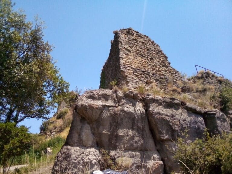
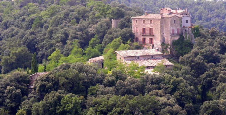
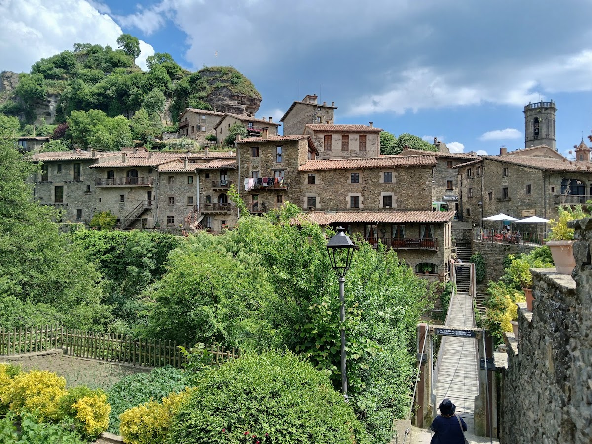
The castle is a ruined Romanesque fortification set on an irregular rocky crag in the center of Rupit, behind the parish church, at an elevation of 536 meters. The enclosure covers approximately 300 square meters. Houses were built closely around the crag, and the present arrangement of the village prevents access to the castle.
Walls and enclosures
Principal wall
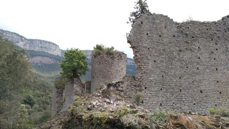
Several courses of small, regular stonework survive on the upper part of the hill, together with sections of perimeter and interior walls standing at different heights. The principal surviving wall is about 5 meters wide, 8 meters high, and 2 meters deep. It rests directly on the rock and has no openings. Its masonry combines headers, stones set with their short ends facing outward, and stretchers, whose long sides face outward. A relieving arch at the base redirects the weight of the masonry where the rock projects most prominently.
Eastern wall and lower enclosure
Fragments of another wall descend eastward from the castle and cross the village, possibly forming part of the fortification circuit. The surviving complex also includes portions of the walls belonging to upper and lower enclosures, along with remains of towers, portals, moats, and other defensive elements. Some walls and structures lie beneath the hill, while others are incorporated into houses on the lower slopes, which may preserve parts of the lower enclosure.