Castell de Penella: A Medieval Fortress in Cocentaina, Spain


Visitor Information
Google Rating: 4.3
Popularity: Low
Country: Spain
Civilization: Medieval European
Site type: Military
Remains: Castle
History
The Castell de Penella is located within the municipality of Cocentaina in Spain. This fortress was established by Christian settlers during the late 13th century, reflecting the period of territorial consolidation in the region.
The castle’s foundation dates back to 1271 when King James I of Aragon granted Ponç Guillem de Villafranca the villages of Peniella and Forminyàn. As part of this royal authorization, Ponç Guillem was permitted to construct a fortress on the rocky site known as “roca de Peniella.” This initiative marked the creation of a rural castle or fortified manor commonly found in the early Christian reconquest period. The stronghold served as the administrative and residential center of the lordship that combined Penella and Formigà under the stewardship of Ponç Guillem de Villafranca.
Throughout its history, the Castell de Penella remained closely tied to the territory of Cocentaina, situated strategically between Cocentaina and the nearby town of Benilloba. While its primary function was as a noble residence and defensive position, the castle passed into ruin over the centuries. Its enduring presence, however, has influenced local identity and storytelling. The fortress features prominently in regional folklore, notably appearing in Enric Valor’s folktale “Els guants de la felicitat.” In this story, the castle is depicted as the home of Lord Raül de Mataplana and his son Carles, serving as an important setting that shapes the narrative.
In recognition of its cultural and historical value, the local government of Cocentaina carried out restoration work on the castle ruins in the early 21st century, aiming to safeguard what remains of this medieval monument.
Remains
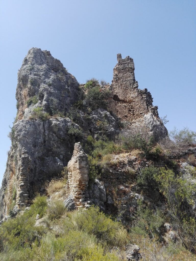
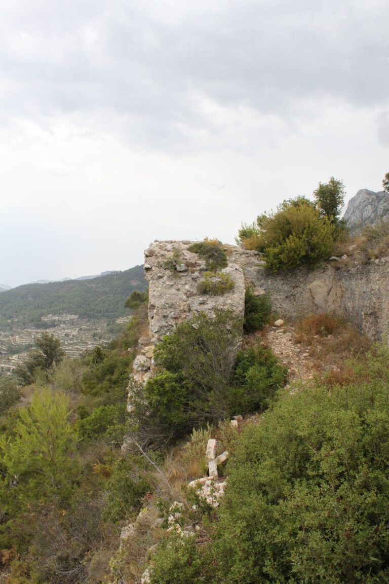
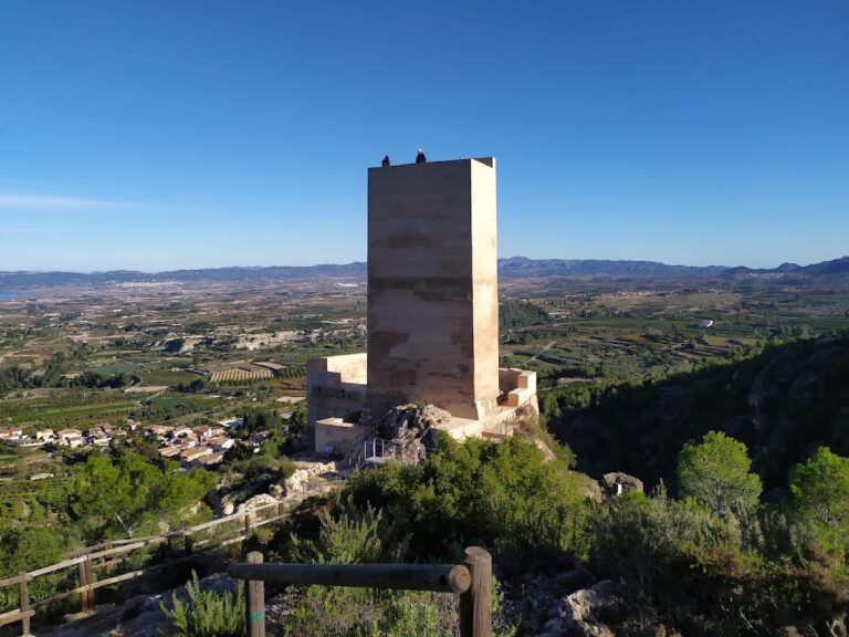
Perched atop a limestone crag, the Castell de Penella occupies a commanding natural position with a steep cliff guarding its northern side. The fortress is organized around a main tower known as the keep or tower of homage. This square tower measures roughly four meters on each side and rises to about twelve meters in height. Its upper edge features battlements, or crenellations, designed for defensive purposes.
Attached to the keep is a quadrangular building that also includes crenellated walls, forming part of the castle’s defensive complex. The castle walls and additional smaller towers, fragments of which remain around the site, enclose the fortress, outlining its fortified perimeter. These defensive constructions underscore the stronghold’s role as both a noble residence and a defensive refuge.
The construction combines two traditional medieval techniques: a masonry base used to level the foundation, upon which walls of rammed earth—known locally as tapial—were built. Tapial involves compacting earth into wooden frames to create sturdy walls. This method, combined with stone masonry, reflects building practices common in rural castles of the time.
Archaeological findings around the castle, including remains dated to the same late 13th-century period as its founding, support the timeline established by historical records. Although in a ruined state, the castle’s keep still offers extensive views over the surrounding landscape, emphasizing its strategic siting. Restoration efforts have stabilized parts of the ruin, preserving its primary architectural elements for study and interpretation.
Nearby sites