Argentomagus: A Gallo-Roman City in Central France
Visitor Information
Google Rating: 4.5
Popularity: Low
Google Maps: View on Google Maps
Official Website: www.argentomagus.fr
Country: France
Civilization: Celtic, Roman
Remains: City
History
Argentomagus is located near the modern town of Saint-Marcel in the Indre department of central France. Originally, it was a fortified settlement, or oppidum, of the Bituriges Cubi, a Gaulish tribe. Around 50 BCE, the Romans conquered this area, integrating it into their expanding empire.
Following the conquest, Argentomagus evolved into a Gallo-Roman city. Its position on the Mersans plateau, near a navigable stretch of the Creuse river and at the crossroads of important Roman roads, made it a center for trade and metalworking. The city thrived particularly during the 2nd and 3rd centuries CE, benefiting from its control over routes for silver and possibly tin and gold.
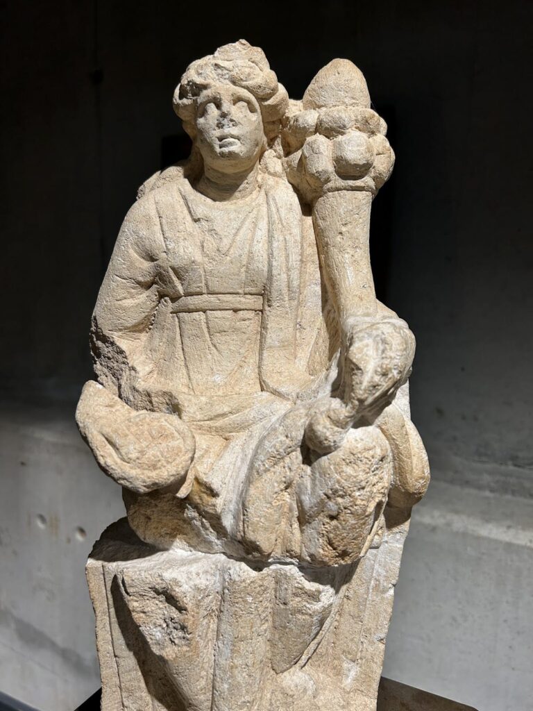
Religious life in Argentomagus reflected its metalworking economy. The cult of Mercury, the Roman god associated with commerce and metalwork, was especially prominent. Other deities worshipped included the Earth Mother, Venus, and local warrior heroes, indicating a blend of Roman and indigenous beliefs.
In the late Roman period, the Notitia Dignitatum, a document listing administrative offices, records a government arms factory in Argentomagus, suggesting the city’s continued strategic importance. However, by the 4th century CE, economic decline as a result of invasions led to the city’s abandonment. Some inhabitants moved to the south bank of the Creuse river, where the modern town of Argenton-sur-Creuse later developed.
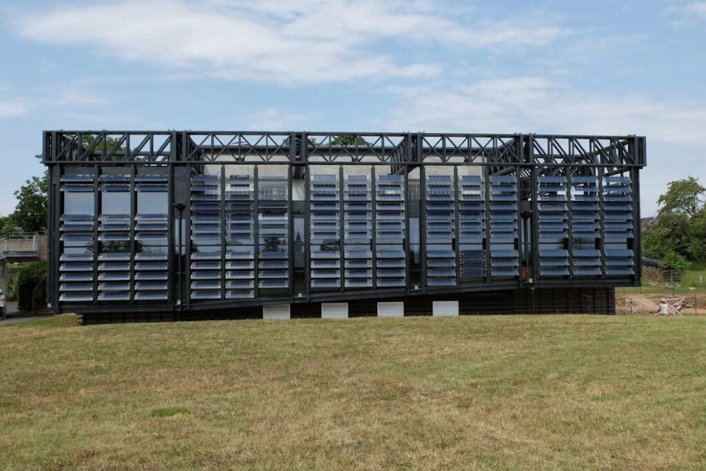
Interest in Argentomagus dates back to 1566 with early descriptions of the site. Systematic archaeological excavations began in 1820. The site gained official protection as a historic monument in 1990, the same year an archaeological museum opened nearby in Saint-Marcel to display artifacts from the area.
Remains
Argentomagus covers about 70 hectares at its largest extent during the Roman period. The original Gaulish oppidum occupied roughly 30 hectares on the Mersans plateau. It was naturally defended by steep slopes on three sides, while the northern side was protected by a murus gallicus, a type of earth rampart reinforced with timber, and a ditch. A gate stood at the northwest corner.
The Roman city expanded in the 2nd century CE, adopting a street plan aligned northeast to southwest. Two main streets crossed five smaller ones, dividing the city into fourteen blocks called insulae. At the center lay a large forum measuring 4,300 square meters, enclosed by a wall with a grand entrance on the north side. On the forum’s west side stood a basilica used for commercial activities.
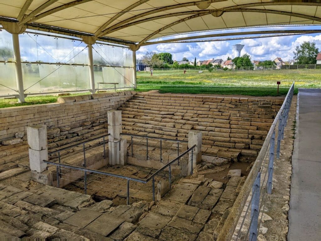
Among the city’s notable structures is a theater with an 85-meter diameter, capable of seating between 6,000 and 7,000 spectators. A monumental square fountain, accessible by two staircases, also remains visible. Roman baths, temples, and city walls were part of the urban landscape. An amphitheater is known to exist but has not yet been excavated.
Water was supplied by an aqueduct that brought spring water from 4,500 meters east of the city. Four necropolises have been identified around Argentomagus, marking burial areas outside the city limits.
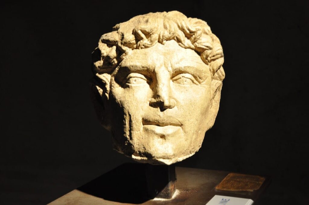
Excavations have uncovered a variety of artifacts, including Gaulish and Roman pottery, metalworking tools, coins, toys, wall decorations, and inscribed objects. One notable find is a Gallo-Latin olla (a type of ceramic pot) bearing the inscription “VERGOBRETOS READDAS,” which translates as “the vergobret made the sacrifice.” The vergobret was a magistrate or chief magistrate in Gaulish society.
The site also preserves remains of a Roman bridge crossing the Creuse river and the house of Quintus, a Roman dwelling. While some structures like the theater and fountain remain visible, others such as the amphitheater await excavation. The overall preservation varies, with some elements restored or conserved in situ.
