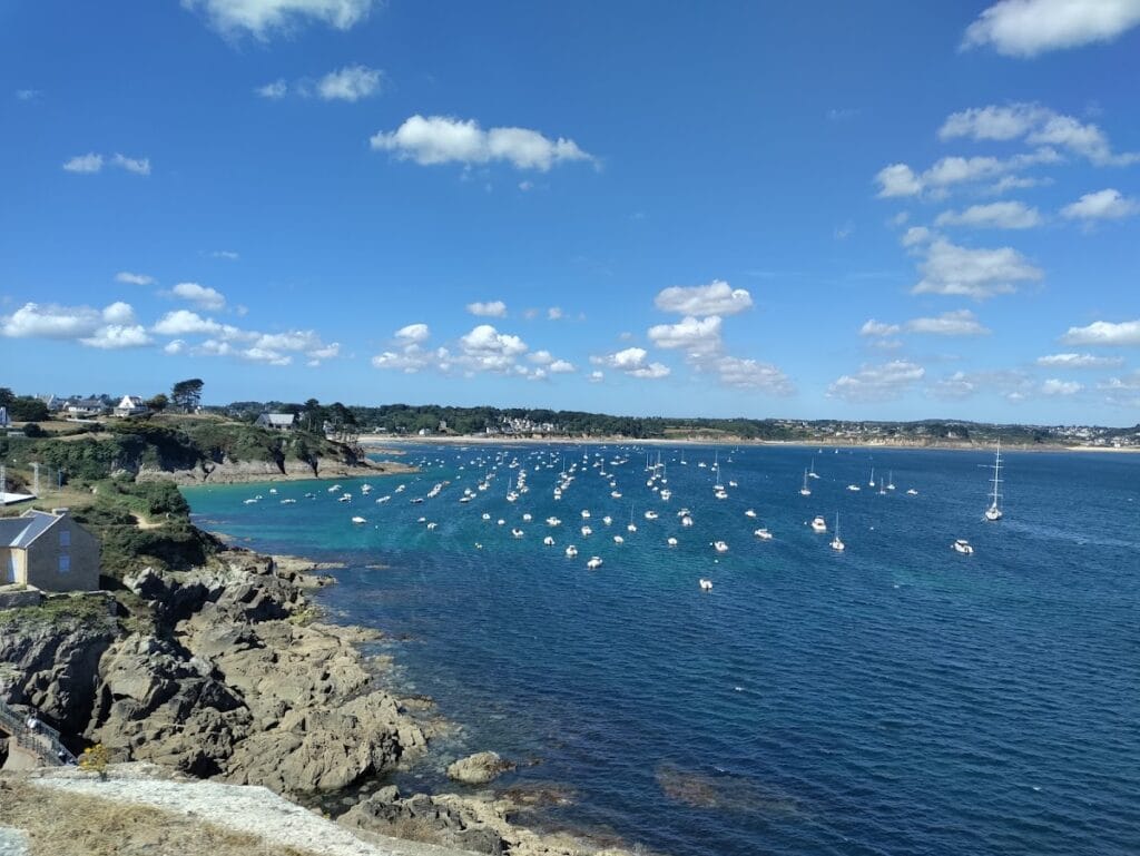
Fort of Bertheaume: A Historic Coastal Defense Site in Brittany, France
Visitor Information
Google Rating: 4.5
Popularity: Medium
Google Maps: View on Google Maps
Official Website: www.fort-de-bertheaume.bzh
Country: France
Civilization: Medieval European
Remains: Military
History
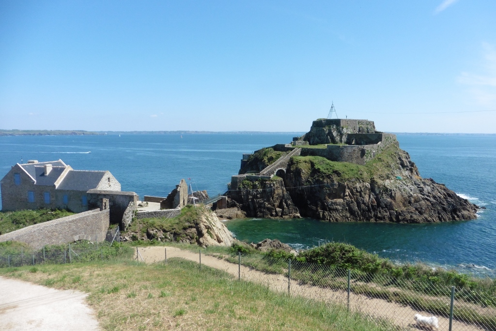
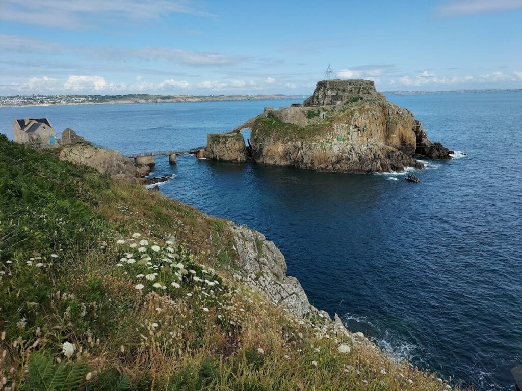
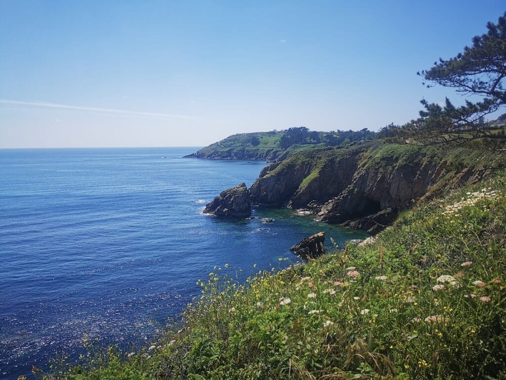
The Fort of Bertheaume is located on a tidal island near Plougonvelin in the Finistère department of Brittany, France. Its strategic position commands the Goulet de Brest straits, a key maritime passage leading to the harbor of Brest. Human activity at the site dates back to the Stone Age, with evidence of a Mesolithic flint workshop and Bronze Age chamber tombs on the nearby mainland.
During the Roman period, the site shows limited presence, with only a few pottery shards and tile fragments from the 2nd and 3rd centuries CE. These finds do not suggest permanent settlement but indicate some level of Roman activity in the area. In the early medieval era, around the 5th and 6th centuries CE, Irish and Welsh monks likely evangelized the region. Saint Sané is associated with the nearby parish of Plouzané, reflecting early Christian influence.
By the early 14th century, a castle was established on the site, predating the Breton Succession War (1344-1364). The castle initially belonged to the Viscount of Léon before passing to the Duke of Brittany. Between 1366 and 1397, the English controlled the site during their occupation of parts of Brittany. It was during this period that the name Bertheaume emerged, derived from Saint Bertem or Bertellin, reflecting the site’s evolving identity.
In 1558, the original castle was destroyed during an Anglo-Dutch raid that also devastated nearby settlements and the Abbey of Saint-Mathieu. Later, in 1689, the renowned military engineer Vauban established a battery on the island to defend Brest from English attacks. This battery played a role in repelling the 1694 Anglo-Dutch assault on Camaret-sur-Mer.
Starting in 1700, artillery officer Benoît de Musinot oversaw the construction of a more complex fortification. This included a bastion, a semi-circular battery, a magazine, barracks, and a powder store. Throughout the 18th century, a second, lower battery was added on the fort’s east side. By 1793, the fort had fallen into disrepair. The defensive works extended over two islands, with the smaller island near the mainland dating from the 19th century.
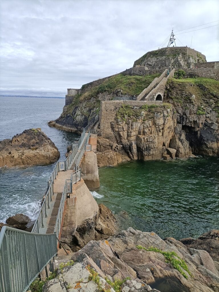
Following the Napoleonic Wars, the fort was disarmed. In 1835, the first footbridge connected the island to the mainland, replacing earlier access by boat or rope bridge. Between 1880 and 1890, the military replaced the fort’s older structures with modern casemates on the mainland. These housed heavy artillery designed to cover the Goulet de Brest, including large-caliber guns and mortars.
During World War I, the fort fired a warning shot at a freighter in August 1914 but was soon stripped of its guns for use at the front. It then served as a site for captive observation balloons, which monitored German U-boat activity in the area. In World War II, German forces occupied and reinforced the fort in 1940. They built concrete blockhouses and installed anti-aircraft guns, mortars, machine guns, and 75mm cannons. The fort resisted Allied advances until surrendering on 8 September 1944.
After the war, the fort was abandoned by the French Ministry of Defence for about 45 years. In 1992, the commune of Plougonvelin purchased the site, initiating archaeological excavations and rehabilitation efforts to preserve its historical legacy.
Remains
The Fort of Bertheaume occupies a tidal island connected to the mainland by a footbridge built in 1835. Originally, access was only possible by boat or rope bridge. The fort’s layout includes multiple batteries arranged on four levels, connected by stairs, with posterns providing access to the base of the walls.
The main construction phase from 1700 under Benoît de Musinot features a bastion and a semi-circular battery. The fort includes a powder magazine located about 13 meters underground, along with barracks and storage facilities. In the 18th century, a lower battery was added on the east side of the fort, expanding its defensive capabilities.
A smaller adjacent island, added in the 19th century, contains additional batteries. Between 1880 and 1890, modern casemates were built on the mainland. These housed heavy artillery pieces, including two 320mm guns, two 240mm guns, two 160mm guns, and smaller batteries equipped with 95mm quick-firing guns and 240mm mortars.
During the German occupation in World War II, a small concrete blockhouse was constructed on the island. The Germans installed anti-aircraft guns, 75mm cannons, mortars, and machine guns, reinforcing the fort’s defenses.
Today, the main island retains its multi-level batteries and associated structures, while the smaller island remains part of the site. Rehabilitation efforts have cleared vegetation and rebuilt the footbridge multiple times due to storm damage. The lower battery has been adapted for new uses, including an exhibition space, open-air theatre, and restaurant. The landward section of the fort hosts an open-air theatre surrounded by menhir alignments installed in the 1990s.
Archaeological excavations have uncovered Stone Age flints distinctive enough to define a Mesolithic period named after the site, Bronze Age chamber tombs, and limited Roman pottery shards and tile fragments. The fort’s position commands the roads and bay of Bertheaume, historically serving as an anchorage for vessels awaiting favorable winds to enter Brest harbor. It functioned as the northern counterpart to the defenses at Camaret-sur-Mer.
