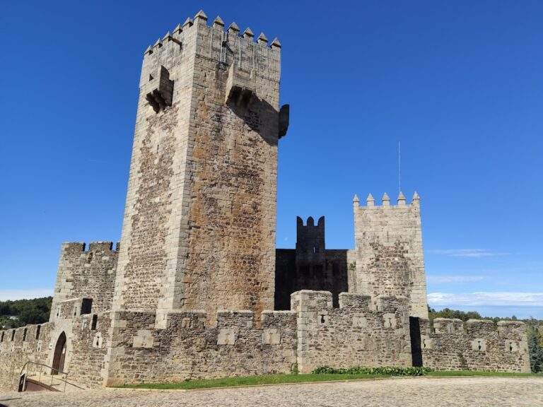
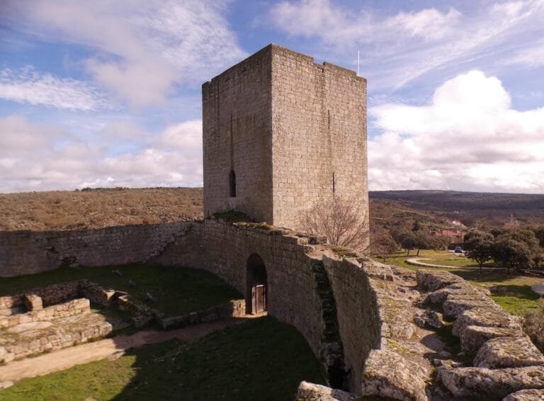
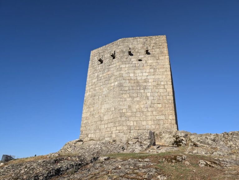
Castelo de Vila do Touro: A Medieval Fortress in Sabugal, Portugal


Visitor Information
Google Rating: 4.3
Popularity: Low
Google Maps: View on Google Maps
Country: Portugal
Civilization: Unclassified
Remains: Military
History
Castelo de Vila do Touro is located in the municipality of Sabugal, Portugal, and was established by the medieval Portuguese Crown during the Christian Reconquest of the Iberian Peninsula.
Human presence in this area extends back to the Bronze Age, with abundant archaeological evidence showing continued occupation through the Iron Age. A Roman-era inscription discovered near the nearby settlement of Abitureira refers to the place name “Tauria,” which translates from Portuguese as “of the great elevation,” reflecting the site’s prominent hilltop position.
The castle’s medieval foundation dates to the late 12th and early 13th centuries when the Portuguese Crown expanded into this territory. Following the conquest of the region, the municipality of Guarda granted these lands to the Knights Templar. Under the leadership of D. Pedro Alvito, the Master of the Order, and during the reign of King Afonso II (1211-1223), the Templars formally established the settlement and issued a town charter (foral) on December 1, 1220. This charter helped regulate local governance and reinforced the Christian hold on the territory.
Originally, the castle served as a frontier fortress marking the border between the Kingdom of Portugal and the Kingdom of León. It faced a counterpart fortification located in what is now the Ruvina parish. Despite this strategic purpose, construction efforts were limited primarily to defensive walls. Territorial disputes between the Knights Templar and the municipality of Guarda hindered the project’s further development, preventing the fortress from reaching full completion.
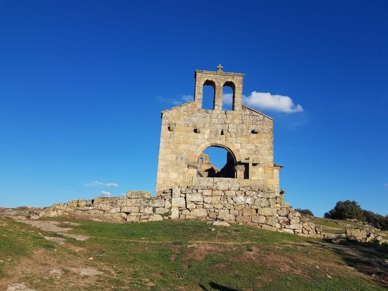
After the Treaty of Alcanices in 1297, under King Dinis (1279-1325), Vila do Touro lost its position as a border stronghold and consequently its military importance diminished. The formal dissolution of the Knights Templar Order in 1319 led to the transfer of the original Templar church, dedicated to Our Lady of the Assumption, to the Order of Christ. Without the Templars’ support, work on the castle ceased, and it remained essentially a circuit of walls.
King Manuel I granted Vila do Touro a renewed charter in 1510, but the fortifications stayed neglected throughout the following centuries. The settlement maintained its status as a municipal seat from the early 13th century until administrative reforms during the Liberal period led to its dissolution in 1836, at the same time as the neighboring municipality of Alfaiates.
During the Portuguese Restoration War (1640-1668), local residents constructed a defensive redoubt on the site. This addition was built for protection amid ongoing conflicts but did not significantly alter the medieval fortress. Since then, the castle has gradually fallen into ruin.
Remains
The remains of Castelo de Vila do Touro stand on a hill approximately 800 meters above sea level, overlooking the valley where the Boi stream meets the Côa River. This vantage point offers views of several nearby villages and towns such as Abitureira, Arrifana, Baraçal, Guarda, Martim Pêga, Pega, Sabugal, and Seixo do Côa, reflecting the site’s strategic placement.
The castle’s defensive walls form an irregular polygonal layout, whose full perimeter can still be traced today by the foundations visible on the ground. These walls were the primary fortification of the site, built from local stone, forming a protective barrier around the settlement. Although construction remained incomplete, the circuit of walls clearly delineates the medieval enclosure.
One notable feature is the castle’s main gate, which showcases a Gothic arch—an architectural style characterized by pointed arches common in the medieval period. This gate, however, is now partially collapsed, reflecting centuries of neglect and natural decay.
Within the former courtyard, known as the praça de armas, scattered stones mark where structures and defensive buildings once stood. These remnants offer physical evidence of the castle’s past layout, even as vegetation increasingly covers the area.
Surrounding the castle, ancient roadways connected Vila do Touro to other military points in the region, including Sortelha, Sabugal, Alfaiates, and Guarda. Among these, a significant route linked Vila do Touro to Alfaiates and continued onward through Panoias to Guarda. Along this route stand surviving sections of the road and historic bridges spanning the Lourença and Pega streams. The bridge crossing the Lourença is believed to date back to the period when the castle was founded, highlighting the infrastructure developed to maintain communication and defense between settlements.
Today, the overall condition of the castle remains poor, with only some northern and western wall sections clearly identifiable. The presence of overgrowth limits visibility but does not erase the outline of this medieval fortification, which awaits further archaeological study and preservation efforts.
Nearby sites