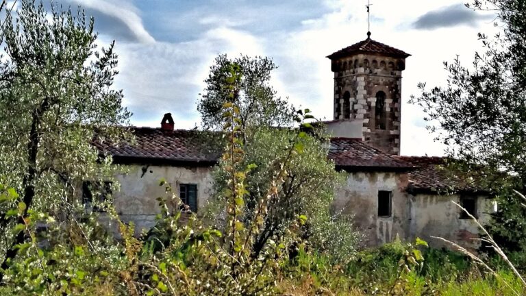
Fortezza di Poggio Imperiale: A Renaissance Military Complex in Tuscany


Site at a Glance
- Rating
- 4.4
- Popularity
- Low
- Country
- Italy
- Primary era
- Early Modern
- External website
- Open
- Eras represented
- Medieval, Early Modern
- Civilizations
- Republic of Florence
- Site type
- Military
- Remains
- Fort
On this page12 sections
History
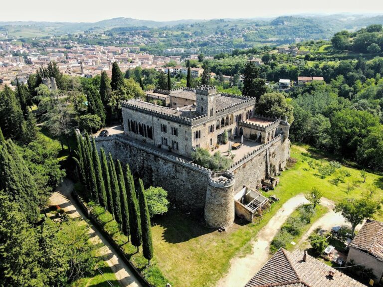
Fortezza di Poggio Imperiale is a Renaissance military complex in Italy, at Poggibonsi in Tuscany. Built by the Florentines during the late fifteenth century, it was designed by Giuliano da Sangallo as the most important of the defensive works planned by Lorenzo de’ Medici, known as Lorenzo the Magnificent, after Aragonese troops sacked the southern part of Florentine territory in 1478 during the War of the Pazzi.
Earlier settlements on the hill
The hill had previously been occupied by Poggiobonizio, a powerful fief of the Guidi counts, a medieval comital family whose territories included the settlement. Florence conquered and razed Poggiobonizio in 1270. In 1313, Henry VII of Luxembourg, Holy Roman Emperor from 1312 until his death in that year, intended to establish a settlement called Monte Imperiale in the same area. The project was abandoned after his death, but “Imperiale” survived in the name of the hill.
Archaeological excavations have brought parts of ancient Poggiobonizio to light. The hill now contains the Poggibonsi Archaeological Park, described as Italy’s only open-air museum devoted to the early Middle Ages, the period approximately between the fifth and tenth centuries. The park presents a historical reconstruction alongside the remains revealed by excavation.
The Medici project
The new complex was conceived as both a strong military position and a planned Renaissance ideal city. Its design responded to firearms through the principles of modern fortification, which used low, thick, angled defences and projecting positions for artillery. Giuliano da Sangallo prepared the design, while his brother Antonio da Sangallo the Elder directed construction from 1496. The proposed city included a fortified citadel and an outer enceinte, or enclosing defensive wall, but the complete urban plan was never carried out.
Construction of the fortress proper, also known as the Medici Cassero, began in late January 1489. Lorenzo de’ Medici’s death in 1492 interrupted the work. Building resumed slowly and briefly in 1498, followed by another phase between 1505 and 1510. The fortress still lacked soldier accommodation and defensive weapons, and construction was definitively abandoned in 1513. The changing conflict between Florence and Siena also reduced the strategic value of controlling the hill. Because little later construction altered the complex, much of the original design remains legible.
Restoration and archaeological interpretation
Restoration took place between 1634 and 1659, and the fortress itself was restored again in the late twentieth century. Shortly before that intervention, its interior had been used for cultivation. A major restoration of the entire complex followed during the 2014–2015 season. It cleared vegetation from the walls, reopened or secured several gates, and created a route along the fortifications. The restored fortress was inaugurated on 7 June 2015.
The site is designated Italian national heritage. The restored inner building houses the Documentation Centre for the archaeological excavations of Poggiobonizio, linking the unfinished Renaissance complex with the longer history of settlement on the hill.
Remains
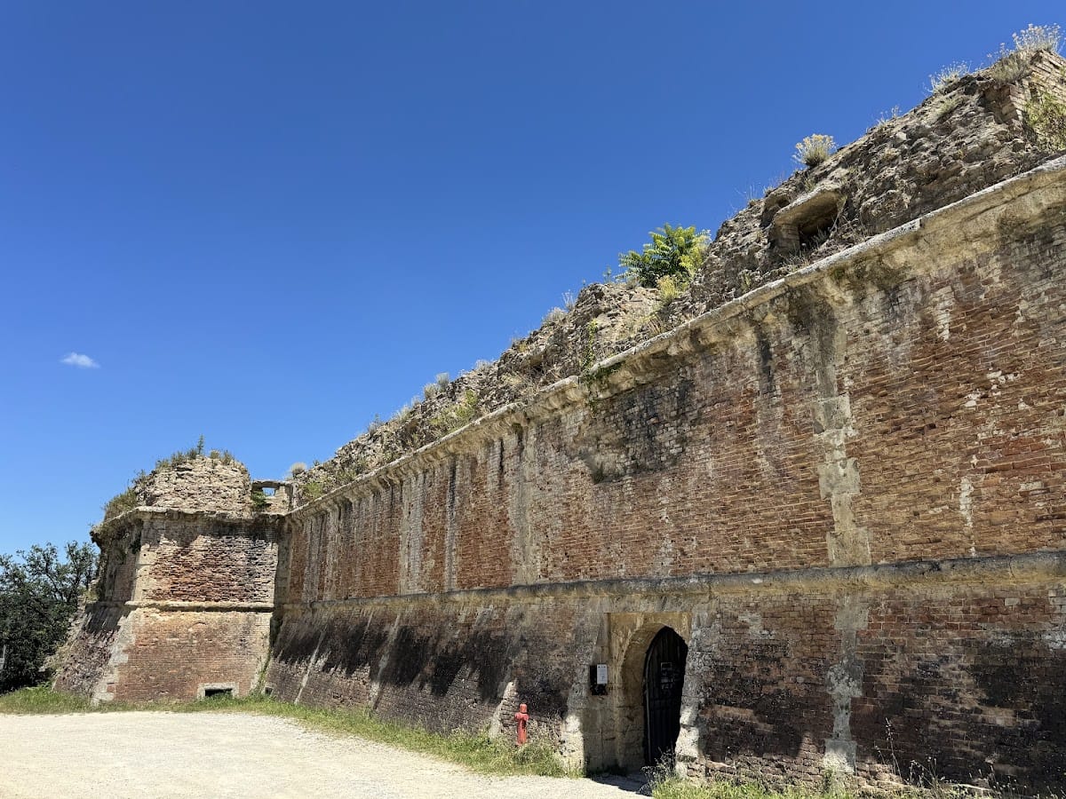
The surviving complex has two principal parts: an incomplete outer enceinte surrounding almost the entire hill except on its northern side, and the fortress on the northeastern side. The walls follow the terrain rather than a strict geometric plan. Their surviving sections occupy the western part of the hill and extend for more than one kilometre. Built mainly of brick, they are reinforced and decorated at the angles and along the curtain walls by vertical, toothed courses of travertine.
The outer enceinte
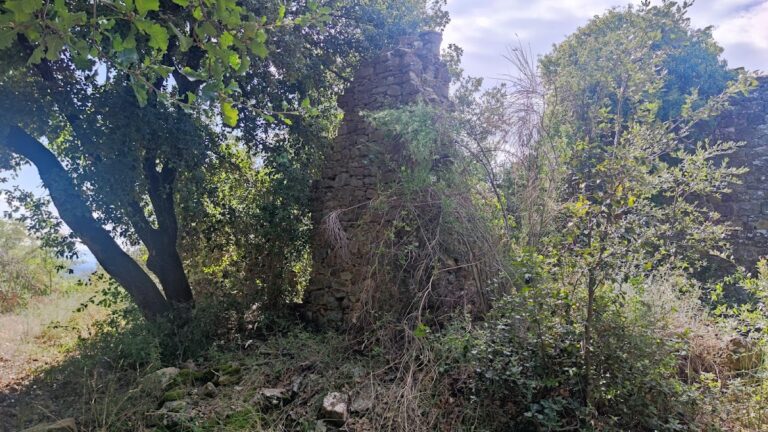
A gallery embedded at the base of the walls connects the bastions and gates. This listening gallery, a passage used to detect enemy tunnelling, formed part of the defensive system. The enceinte was abandoned from the sixteenth century onward, and its surviving sections became extensively integrated with the surrounding vegetation and landscape.
Gates and entrances
The western entrance incorporates an older tower from the fortifications of Poggiobonizio. The only fully completed gate in the enceinte is Porta San Francesco, which faces the convent of San Lucchese and takes its name from the tower above it. Separate exterior and interior entrances are linked by a passage covered with a barrel vault. The gate is built entirely of stone and retains holes in its façade that indicate the former presence of a drawbridge.
Beyond the first entrance, an entry hall contains two stone coats of arms of the Republic of Florence. The hall also gives access to the listening gallery on both sides. Porta del Giglio stands on the northwestern side, facing Florence and recalling the city’s lily symbol. Porta di Calcinaia is on the southeastern side, facing Siena and named after the Calcinaia district below it. Porta della Fonte provided access toward the spring known as Fonte delle Fate, or the Vallepiatta spring. A smaller opening called Porta Piccola lies midway between Porta del Giglio and Porta della Fonte and was probably intended for emergency use.
Tower of San Francesco
The Tower of San Francesco is attached to the rear of the gate. Dating from the second half of the thirteenth century, it originally formed part of Poggiobonizio’s defensive walls. Giuliano da Sangallo incorporated it into the new circuit, where it served as a defensive bastion for Porta San Francesco.
The tower has a U-shaped plan, with surviving holes for wooden floors and stairs leading to the summit. Its base is partly buried by the construction of the Medici walls, while its top has been truncated. Its original height was probably much greater.
The fortress
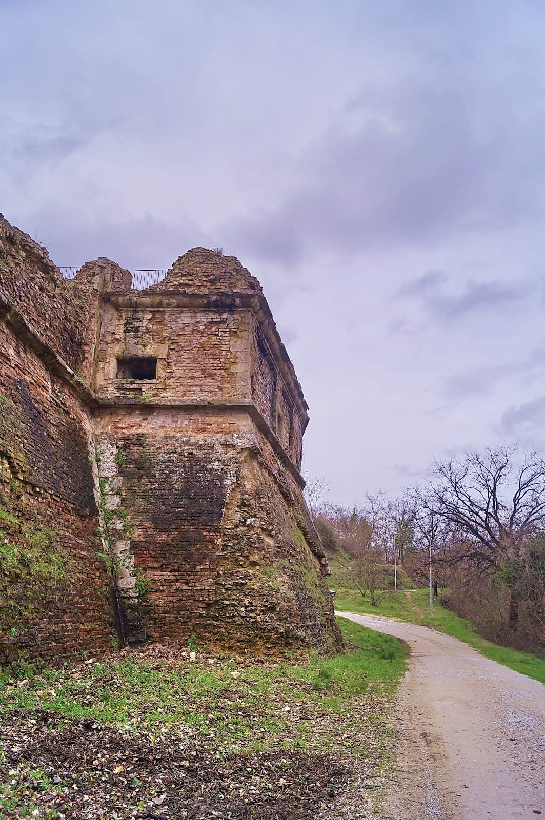
The fortress occupies relatively level ground on the northeastern side of the hill, allowing a rectangular geometric plan with an eastern projection interpreted as a ravelin, an external defensive work placed in front of a fortified side. Together, the main body and projection give the structure the appearance of an irregular pentagon. Four polygonal corner bastions, two facing the town and two on the opposite side, reinforce the fortress, while the eastern ravelin adds another projecting defence.
Bastioned defences
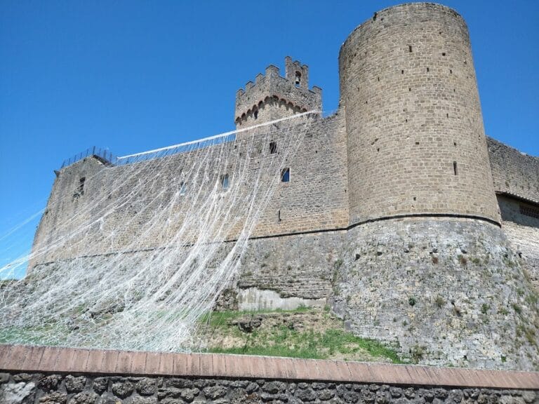
The bastions contained two tiers of domed, circular gun embrasures, or openings for weapons. Further gun positions were placed where the bastions meet the curtain walls. The bastioned front represents a mature form of firearm-era design, with no projecting elements beyond the main bastions and much of its surface built on a steep battered slope. A battered slope inclines inward as it rises, reducing exposure to attack and strengthening the defensive face against artillery.
The polygonal bastions also mark a development from the circular bastions used by the workshop of Francione, whose work had influenced the Sangallo brothers during their professional training. The plan has been interpreted in relation to Francesco di Giorgio Martini’s studies of anthropomorphic forms. Martini was a fifteenth-century Italian architect, engineer, and architectural theorist whose writings addressed fortification and the planning of buildings and cities.
Inner barracks and construction
The fortress is entered through a gate similar in form to those of the city walls, but smaller. A long corridor leads into the interior. The central building, traditionally called the mastio, or keep, is actually a four-storey barracks oriented north-south and occupying the full width of the fortress. A chapel remains identifiable inside by its dimensions.
The exterior was built to a higher standard than the interior. Its walls are made of brick, while travertine was used for the corners and gun embrasures. At the eastern point, the structure is partly formed from travertine blocks and partly carved into the exposed travertine bedrock of the hill. The entire eastern point has a battered slope.
Archaeological documentation
The restored barracks now houses the Documentation Centre for the excavations of Poggiobonizio. Its displays include coins, ceramics, glass, seals, and everyday objects found on the hill and dated from the late Roman Empire to the sixteenth century. From the fortress bastions, the view extends over Poggibonsi and its immediate surroundings toward the Chianti hills, the Metalliferous Hills in the direction of the Tyrrhenian Sea, and the Apennines to the north.