Castle Lopata: A Medieval Fortress in the Czech Republic


Visitor Information
Google Rating: 4.4
Popularity: Low
Country: Czechia
Civilization: Medieval European
Site type: Military
Remains: Castle
History
Castle Lopata stands near the village of Milínov in the modern Czech Republic. The site’s earliest known occupation dates back to the Eneolithic period, when the Cham culture established a settlement here. Later, during the Late Hallstatt era, a fortified settlement was constructed on the hilltop, whose defenses were eventually dismantled to make way for the medieval fortress.
The castle itself was most likely built in the late 14th century, between 1367 and 1377, by Heřman of Litice. It first appears in written records in 1377. In 1397, royal forces under the command of Prokop laid siege to Castle Lopata and captured it, leading to its transfer into royal possession. Four years later, King Wenceslaus IV granted the estate to Maršík of Hrádek. Maršík’s son, Jan of Lopata and Hrádek, inherited the property and remained a loyal supporter of King Sigismund during the turbulent Hussite Wars, a series of conflicts rooted in religious reform and political power struggles.
Before 1427, Jan donated the estate to his brother Habart of Lopata. Habart gained notoriety as a robber baron, conducting raids against several nearby domains, with the Vlčtejn estate as a frequent target of his attacks. This hostile activity prompted a coalition of local nobles and town representatives to besiege the castle on October 27, 1432. The defenders withstood the assault for four months, but facing starvation, the garrison set fire to the fortress and attempted to escape in February 1433. While forty defenders were captured during the fleeing attempt, Habart himself managed to evade capture by fleeing to Hus Castle, from where he continued his raiding activities.
Following this dramatic siege, Castle Lopata was left in ruins and was never restored. Official records from 1457 and 1539 mark the site as deserted. Archaeologists have investigated the castle and the surrounding siege works since the 19th century, uncovering valuable insights into its construction, defensive layout, and the final siege.
Remains
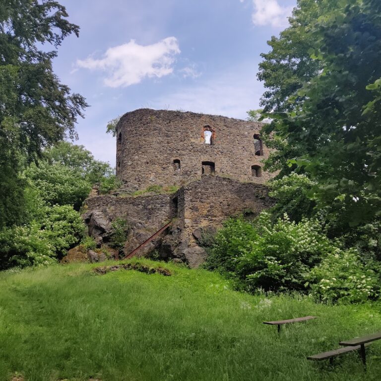
Castle Lopata was designed as a two-part fortress of the bergfried type, a common medieval castle layout focused on a strong central tower. Unusually, its bergfried—the main defensive tower—was positioned in the most defensible section of the site, occupying the northern corner of the castle’s core. This tower features thick walls measuring nearly three meters and spans approximately ten meters in diameter. Adjacent to the bergfried, on the southwest side, lay a palace building equipped with tiled stoves, indicating residential use with provisions for heating.
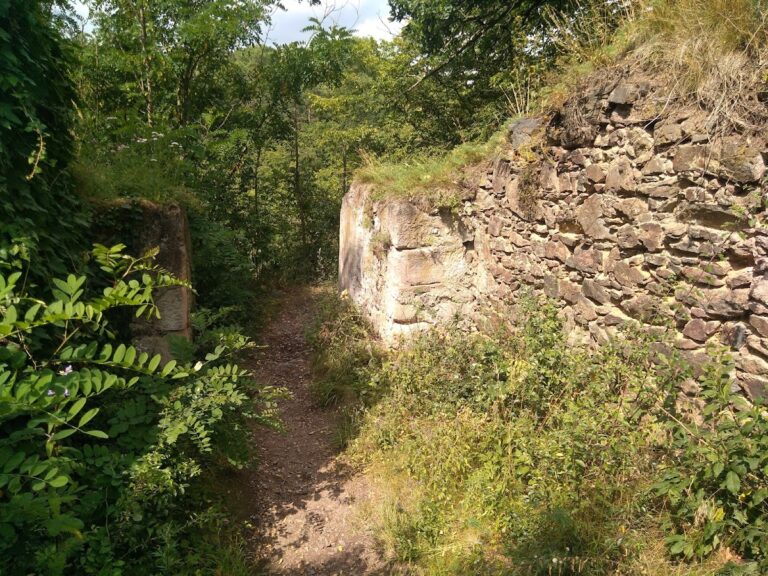
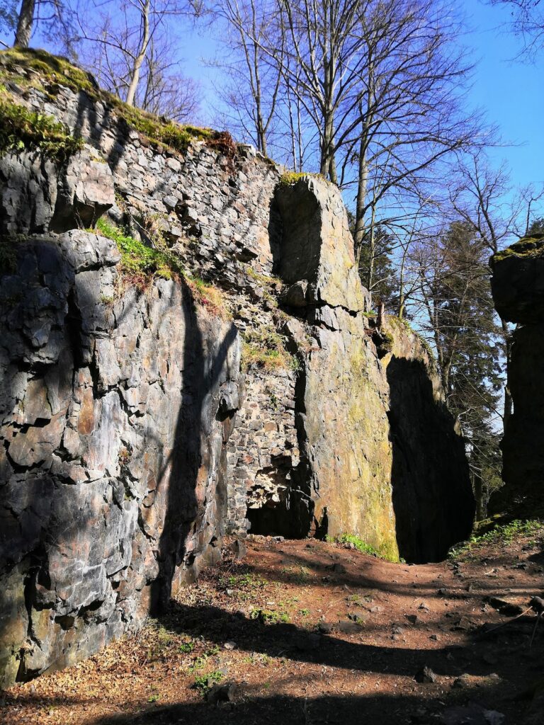
The castle’s outer bailey included various buildings and fortifications primarily constructed from wood, which has largely disappeared over time. However, on the eastern side, remains of a square tower’s stone foundations survive atop a prominent rock outcrop. In the southern corner of the outer enclosure, traces of another square structure are preserved only as a depression in the ground.
Access to the castle core was gained via a footbridge crossing a moat. This bridge connected to the first floor of a now-lost tower that once served as the castle’s bridge tower; this structure was destroyed in the 19th century during treasure-hunting activities. The bridge led into a barbican wall—a fortified outwork—that featured a cradle-type drawbridge, a mechanism designed to defend the main gate by lowering a platform. Just beyond this first gate, a short flight of stairs ascended to a secondary gate measuring about 1.5 meters wide and four meters tall. Although this gate was demolished after the castle fell, surviving fragments allowed historians in the 19th century to reconstruct its appearance. During the 20th century, almost all of this gate disappeared except for a small remaining element.
Next to the gate on the right stood a square residential tower, underscoring the blend of defensive and domestic functions within the core. Between this tower and the bergfried rested another building of uncertain purpose, suggesting a complex internal arrangement within the castle.
Water supply was secured by a cistern roughly four meters deep located within the castle’s core, providing essential storage during sieges. Archaeological excavations have recovered a broad array of artifacts from the site, including a face cup, diverse ceramic vessels, and glass beads that reflect the site’s long-term occupation and earlier stages before the castle’s construction.
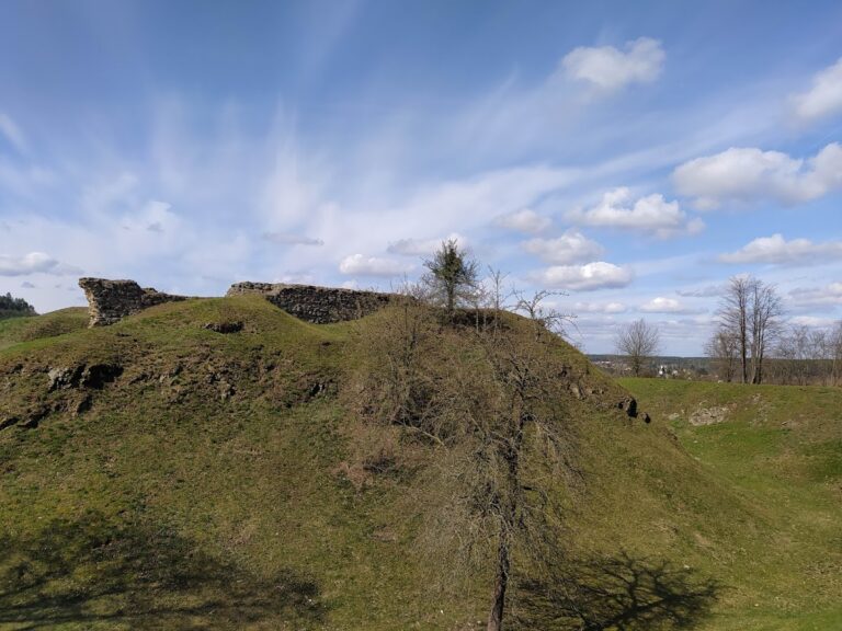
Surrounding the ruins are extensive remains of the siege works from the 1432–1433 conflict. On the highest plateau of the area, elevated at 452 meters, investigators have identified the location of the besieging forces’ camp. To the east of the watchtower in the outer bailey, the attackers established a bombard firing position—a type of artillery station—with a bore diameter of roughly 50 centimeters. This emplacement was protected by a ditch and rampart. Projectile finds recovered at the site include crossbow bolts, hand-gun balls (early firearm projectiles), and tarasnice stones, which were sling stones or small cannonballs, demonstrating the use of multiple siege weapons and early firearms during the assault. These remains provide valuable evidence about medieval warfare techniques and the nature of the castle’s final siege.
Nearby sites