Pipinsburg Castle: A Medieval Fortress in Geestland, Germany


Visitor Information
Google Rating: 4.3
Popularity: Low
Country: Germany
Civilization: Medieval European
Site type: Military
Remains: Castle
History
Pipinsburg (Sievern) was a medieval castle situated in the municipality of Geestland, Germany. It was constructed by local nobility during the early Middle Ages, around the turn of the first millennium. While no direct evidence ties it to the Carolingian dynasty, its site at the entrance of an inland waterway fits with defensive measures promoted by Charlemagne and his successors to safeguard the Saxon coast against Viking incursions.
Archaeological research dates the initial building phase of the castle to approximately the year 1000, during the reign of Emperor Otto III. This early medieval fortress likely served as the allodial seat—the hereditary family estate—of the Lords of Bederkesa, who controlled extensive lands in the region and held religious positions as provosts of the nearby Neuenwalde convent. The castle formed part of their power base in the geest, a sandy ridge landscape, providing both protection and oversight of the surrounding territory.
In 1256, the castle probably met destruction during conflicts with the Wurster Frisians, a local Frisian community that sought to expel the established nobility from the geest area. This upheaval forced the Bederkesa knights to adapt by constructing a church in the nearby village of Elmlohe in 1346, reflecting continued tensions and territorial disputes.
Documents from 1343 refer to the castle under the name “Siverdesburg,” during a period when the Knights of Bederkesa negotiated with Archbishop Burchard Grelle of Bremen to rebuild the stronghold. As part of this arrangement, half the castle was ceded to the archbishop. Despite these plans, the castle was soon demolished permanently by the persistent Wurster Frisians, preventing its restoration as a defensive or administrative site.
The name “Pipinsburg” does not appear in written records until a 1603 map by Wilhelm Dilich, suggesting that this designation arose centuries after the castle’s destruction and may reflect either local tradition or cartographic convention rather than contemporary medieval usage. In the vicinity, older prehistoric sites such as the Heidenschanze and Heidenstadt lie about one kilometer to the east, underscoring the region’s long history of human settlement and strategic importance.
Remains
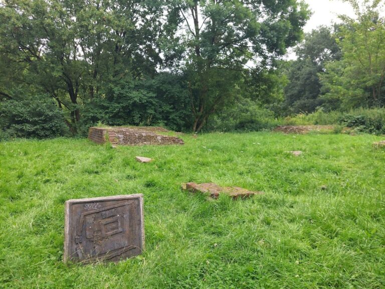
The remnants of Pipinsburg reveal a fortress with an almost circular layout, roughly 60 meters in diameter. This compact shape was encircled by a defensive ring wall that, despite centuries of alteration, still stands to about six meters high in parts today. The castle’s position on the geest ridge meant its northern flank was naturally fortified, so artificial defenses were concentrated on the side facing the land.
On the southern approach, the main enclosure was complemented by an extensive outer bailey extending approximately 250 meters to the northeast. This area was secured with additional earthworks—a low rampart paired with a ditch—and further protected by the adjacent watercourse of the Sieverner Aue. These layered defenses controlled access and enhanced the castle’s defensive capabilities.
Excavations conducted in the early 20th century and again in the late 1970s uncovered foundations of wooden buildings within the castle grounds. Though only traces remained, historical accounts from 1864 note that many stones were removed from the ring wall over time, indicating that the castle once contained substantial masonry construction alongside timber elements. Efforts to halt the dismantling of walls and ramparts, especially those on the southern side and the outer bailey, were documented in the late 1800s, reflecting an early awareness of the site’s historical value.
Today, the surviving earthworks and portions of the stone wall outline the castle’s original extent, preserving its form in the landscape. This visible footprint continues to mark the location where medieval conflict and settlement once shaped the region’s history.
Nearby sites