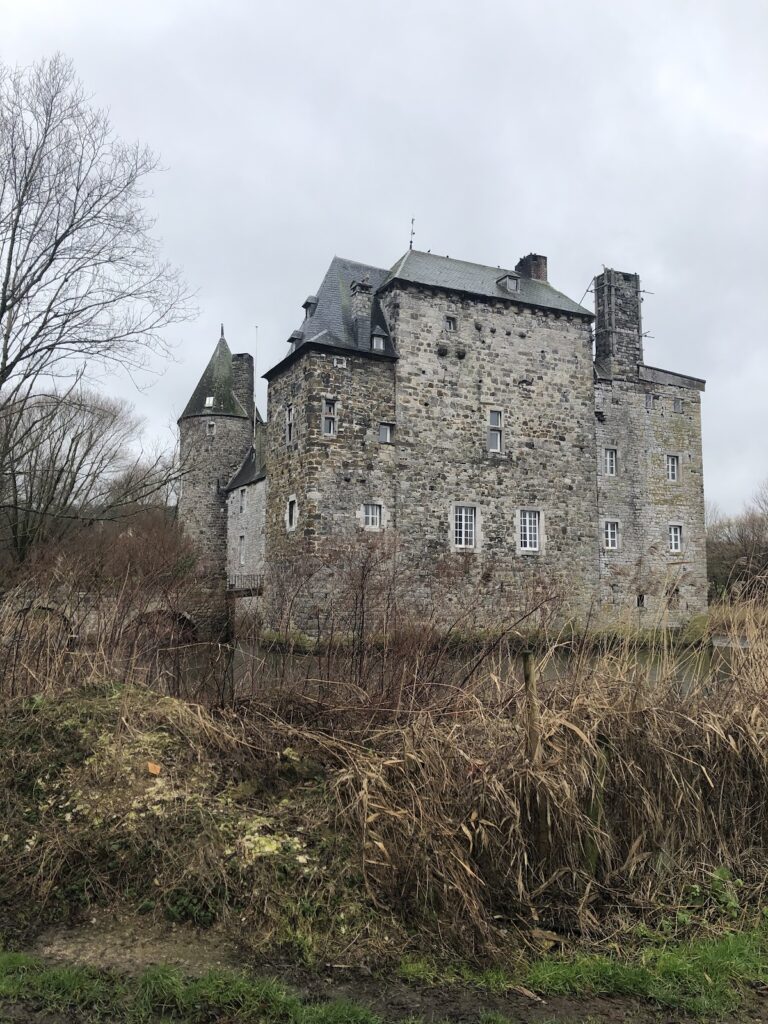
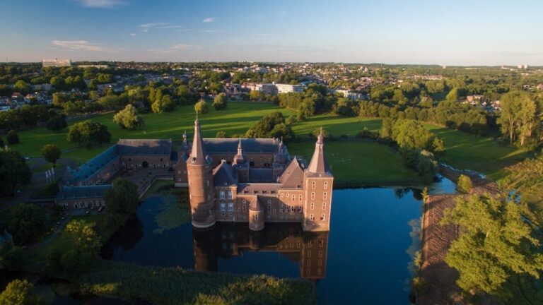
Hurpesch Castle: A Medieval Estate in the Netherlands


Visitor Information
Google Rating: 5
Popularity: Very Low
Google Maps: View on Google Maps
Official Website: www.hoevehurpesch.nl
Country: Netherlands
Civilization: Unclassified
Remains: Military

History
Hurpesch Castle was located near the village of Hurpesch within the municipality of Gulpen-Wittem in the Netherlands. The site, situated along the Geul river, was established by medieval European builders, likely as a small fortified residence associated with regional nobility.
The earliest known record of the castle appears in 1325 when it was held as a fief from the Duke of Brabant by Gilles van Horpesch. His family retained control of the estate for nearly two centuries, until around 1500, indicating a stable lineage of ownership during the late Middle Ages. Following this period, through the 16th century, the Van Horpusch family continued to hold the property, suggesting that the site remained an important local seat.
From the 17th century onward, the estate changed hands among several noble families, including Van de Hove tot Berlieren, Von Berchem, Van Veucht, and eventually the De Ben family. These transitions reflect the typical pattern of landholding among the regional elite in Limburg throughout the early modern era.
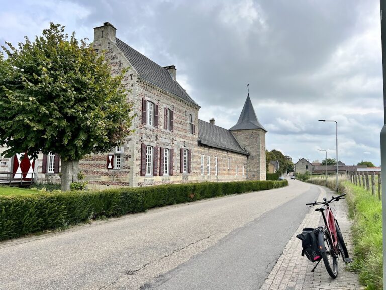
By the 18th and 19th centuries, the medieval castle structure no longer dominated the site. Instead, a timber-framed farmstead was constructed there, marking a shift from a fortified noble house to an agricultural holding. Cartographic records from the early 1800s depict this farmstead as a mostly enclosed complex, indicating its continued use as a working estate.
Remains
Archaeological research has confirmed that Hurpesch Castle occupied a distinct, nearly circular island roughly 50 meters across, surrounded by a water-filled moat. This moat received its water from the nearby Klitserbeek stream, which converged with the Geul river near the castle site. The island layout strongly suggests a defensive purpose, with the original fortified residence positioned on the southern side, taking advantage of the broad moat that there reaches a width of around 40 meters. Narrower sections of the moat, approximately 10 meters wide, protect the northern and eastern perimeters.
While no visible portions of the original castle remain above ground, the arrangement of the island and moat reveals how the site was structured. The northern side likely contained the entrance, passing through what would have been the outer bailey, an enclosed courtyard area for defensive and service functions. This area now carries the 18th and 19th-century timber-framed farm buildings, which extend along the island’s length.
The existing structure consists of an elongated timber-framed house featuring two-light windows—long, narrow windows divided into two sections—which reflects traditional construction methods from the later centuries of the estate’s occupation. Adjacent to the house stand parallel timber-framed outbuildings, serving as barn and storage spaces. Together, these buildings form a recognizable farmstead arrangement.
The moat surrounding the island varies in depth from one to 1.6 meters and remains clearly observable, especially along the southern edge. Here, from the west side, the wide water barrier is visible alongside rows of trees that border the site. This preservation of the moat’s form provides important insight into the castle’s original defensive design and landscape setting.
Today, the group of timber-framed buildings and the surrounding moat are recognized as a national monument, acknowledging their historic and archaeological significance as remnants of the medieval estate and its evolution into a farmstead over centuries.
Nearby sites