Pont du Gard: Ancient Roman Aqueduct Bridge
Table of Contents


Introduction
The Pont du Gard is a Roman aqueduct bridge built in the first century AD to supply water to the city of Nemausus (modern Nîmes) in southern Gaul. Spanning the Gardon River near Vers-Pont-du-Gard, it is part of a 50-kilometer-long aqueduct that transported spring water from the Fontaine d’Eure near Uzès. Designated a UNESCO World Heritage Site in 1985, it stands as one of the most complete and sophisticated examples of Roman hydraulic engineering.
The aqueduct reflects the administrative and logistical organization required for large infrastructure projects. It was likely commissioned under the reign of Emperor Augustus or shortly thereafter, demonstrating the central government’s interest in improving urban amenities in provincial cities. Such efforts helped integrate distant regions of the empire into a unified Roman identity.
Structure and Design
The bridge is constructed of shelly limestone and rises to 48.8 meters in height over three tiers of arches, with a total length of 274 meters. The lowest tier consists of six broad arches, the middle tier of eleven, and the top tier of thirty-five smaller arches that originally supported the water channel. The aqueduct could carry an estimated 40,000 cubic meters of water per day. Remarkably, it maintains a consistent gradient of roughly 1:3,000 over its full course, essential for the smooth flow of water. On the bridge itself, the drop is just 2.5 centimeters over 456 meters, a feat requiring extraordinary precision.
The uniformity and load distribution across multiple tiers are crucial features of the design. The use of arches in superimposed tiers allowed engineers to build a high and stable structure with relatively minimal material. Each tier lightens the load on the one beneath it, reducing stress and enhancing durability. This technique was advanced for its time and set a precedent for multi-level bridge design in Europe.
Engineering Context
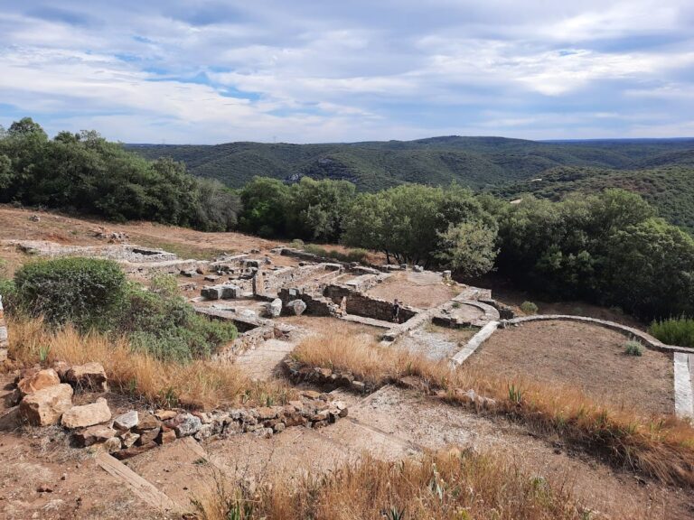
Transporting water over long distances required the Romans to navigate challenging topography. Although the straight-line distance between Uzès and Nîmes is only 20 kilometers, the aqueduct takes a 50-kilometer meandering route to maintain a gentle, navigable descent through hilly terrain. The Pont du Gard, the tallest structure along this route, was essential for bridging the Gardon River without disrupting the necessary gradient. Roman surveyors used instruments like the groma and chorobates to achieve the required accuracy in both alignment and slope.
In addition to tools, Roman engineers used detailed planning and iterative surveying to adapt their design to the landscape. The engineering teams may have constructed smaller test sections to measure gradient loss before finalizing construction. Their ability to keep the flow consistent over such a long and winding course speaks to a deep empirical understanding of hydrodynamics.
Construction Techniques
Roughly 50,400 tons of locally quarried limestone were used in the Pont du Gard’s construction. The blocks were dry-fitted without mortar, relying on the mass and precise dressing of the stones for stability. Wooden scaffolding and hoists were employed to position the blocks. The labor force likely numbered 800 to 1,000, including skilled masons, engineers, and slaves. The design and construction methods reflect Rome’s broader architectural philosophy: functionality combined with aesthetics.
Each block was marked with masons’ symbols to coordinate placement and quality control. The absence of mortar demanded precision cutting and well-balanced loads. Joints between blocks were aligned to minimize shear and allow for thermal expansion. The use of voussoirs in the arch construction, combined with keystones, distributed the downward pressure efficiently and provided resilience against earthquakes and erosion.
Post-Roman Use and Decline
By the 4th century, regular maintenance declined, leading to a gradual decrease in water flow due to lime scale buildup and silt. Portions of the aqueduct were eventually abandoned, though the bridge itself remained structurally sound. In the medieval period, it was repurposed as a toll bridge for pedestrians and livestock. This reuse, though damaging in places, ensured its continued relevance and physical survival.
The bridge underwent modifications to accommodate foot and cart traffic, including the addition of a narrow roadway. Although this altered the original Roman structure, it also contributed to its preservation, since structures used in everyday life were more likely to be maintained or repaired. Its visibility and continued function helped prevent the kind of total ruination seen at other Roman aqueducts.
Restoration and Preservation
Damage during 17th-century military campaigns prompted the first major repairs. In the 18th and 19th centuries, engineers undertook further restoration projects, including stabilizing the arches and reinforcing the roadway. Under Napoleon III, extensive conservation work was completed to prevent collapse. In the 1990s, a comprehensive site redevelopment project restricted vehicular access and added a museum and visitor center. These interventions emphasized both preservation and education.
The 20th century saw the bridge studied by engineers and archaeologists alike. Detailed surveys and photogrammetry revealed the original construction sequences and repair histories. Preservation efforts now include climate monitoring, vegetation control, and public education to mitigate environmental wear and tourism impact. These measures ensure the longevity of both the bridge and its cultural resonance.
Cultural and Artistic Legacy
The bridge captivated Enlightenment travelers, artists, and writers. Jean-Jacques Rousseau admired its elegance, while Henry James described its proportions and serenity in his travel writings. Painters rendered the Pont du Gard as a romantic ruin and a symbol of Rome’s lasting influence. Its presence in travelogues and paintings reinforced its image as a monument of classical heritage.
The Pont du Gard remains a focal point in discussions of Roman engineering and heritage tourism. It has been featured in numerous academic studies, exhibitions, and media productions. The bridge serves as a case study in historical infrastructure and is frequently cited in architecture and archaeology curricula across Europe.