Maya Sites: Explore Temple Cities, Palaces and Villages
Maya remains include tall temple pyramids, long palace ranges, carved monuments and the earth-built houses of farming communities. Their settings vary from the limestone terrain of Yucatan to the forested lowlands of Guatemala and Belize. The collection connects these places with articles explaining their buildings, political histories and successive construction phases.
Primary Function: All
Type: All
Country: All
Popularity: All
Rating: All
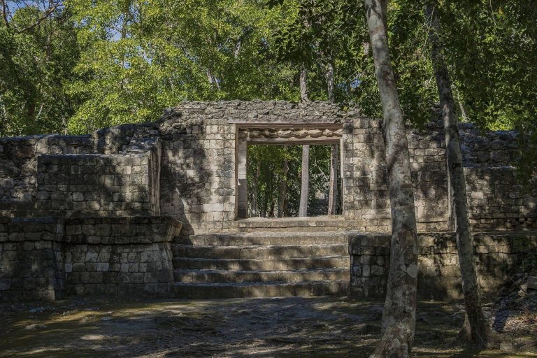
Balamku is a Maya archaeological site near Calakmul in Campeche, known for its Early Classic painted stucco frieze, ceremonial groups, and long…
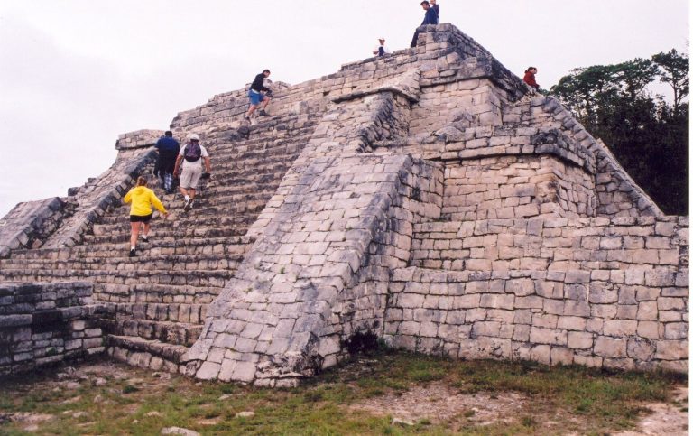
Chinkultic was a Maya city in Chiapas that developed from an early settlement into the center of a small kingdom. Its terraces, ceremonial groups,…
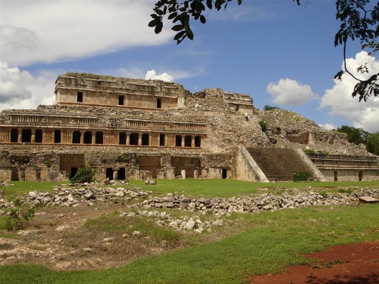
Sayil was a Maya city in Yucatan’s Puuc region, occupied mainly from about AD 800 to 950. Its palaces, causeways, temples, ballcourt, monuments, and…
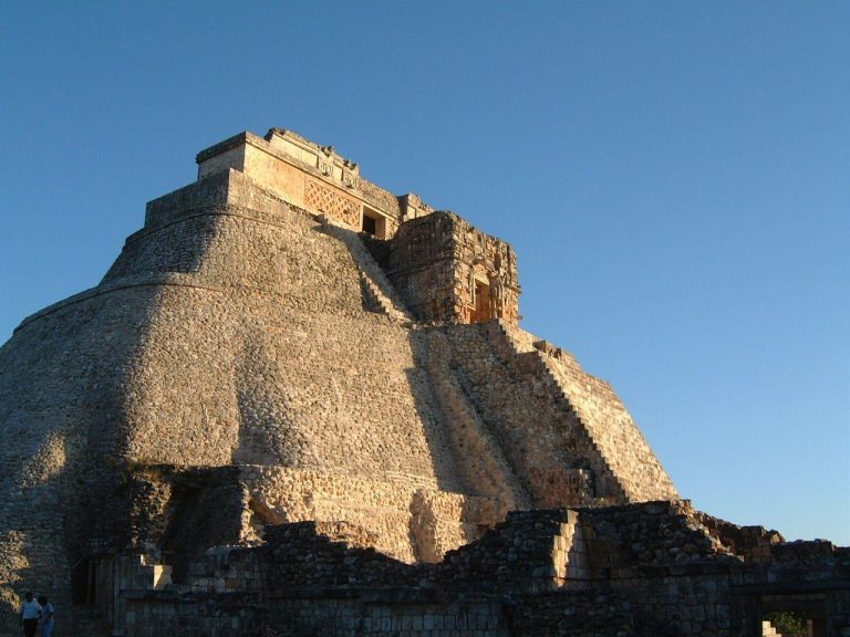
The Pyramid of the Magician is a multi-phase Maya temple at Uxmal in Yucatan, Mexico, built over approximately four centuries and incorporating five…
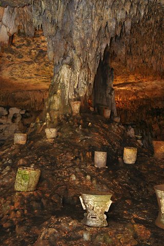
Balankanche is a Maya ceremonial cave near Chichen Itza, used from about 300 BC to AD 1200. Its underground water, ritual offerings, sealed…
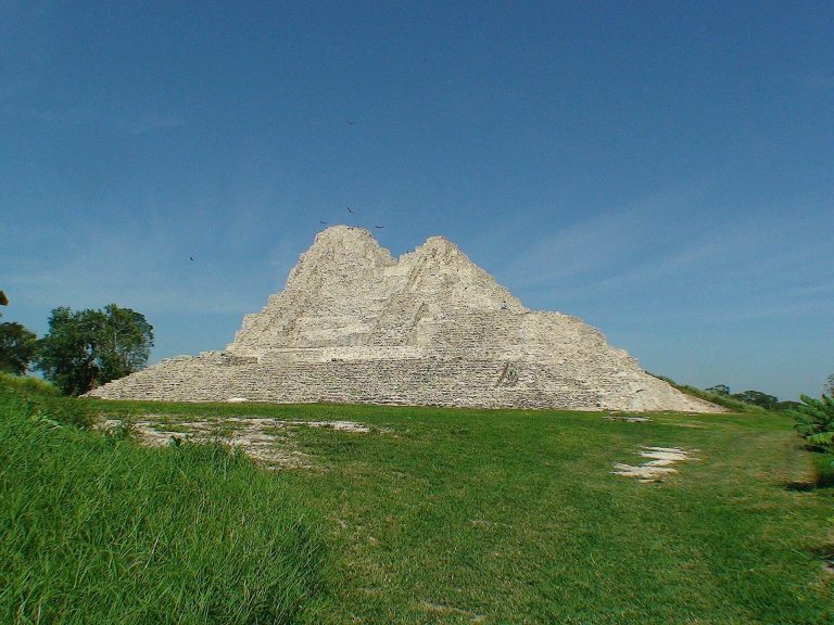
Moral Reforma was a Maya settlement on the San Pedro Mártir River that developed from a village into a regional center controlling river traffic,…
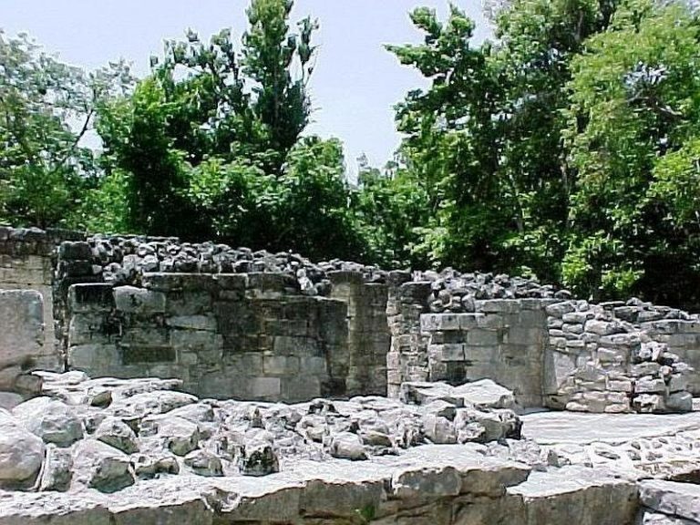
Xel-Há was a Maya ceremonial center and walled maritime port on the Caribbean coast of the Yucatán Peninsula, occupied from the first century AD…
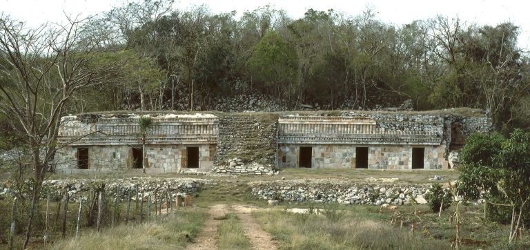
Chacmultun was an ancient Maya settlement in the Puuc region of Yucatán that developed from an early community into a regional center, with palaces,…
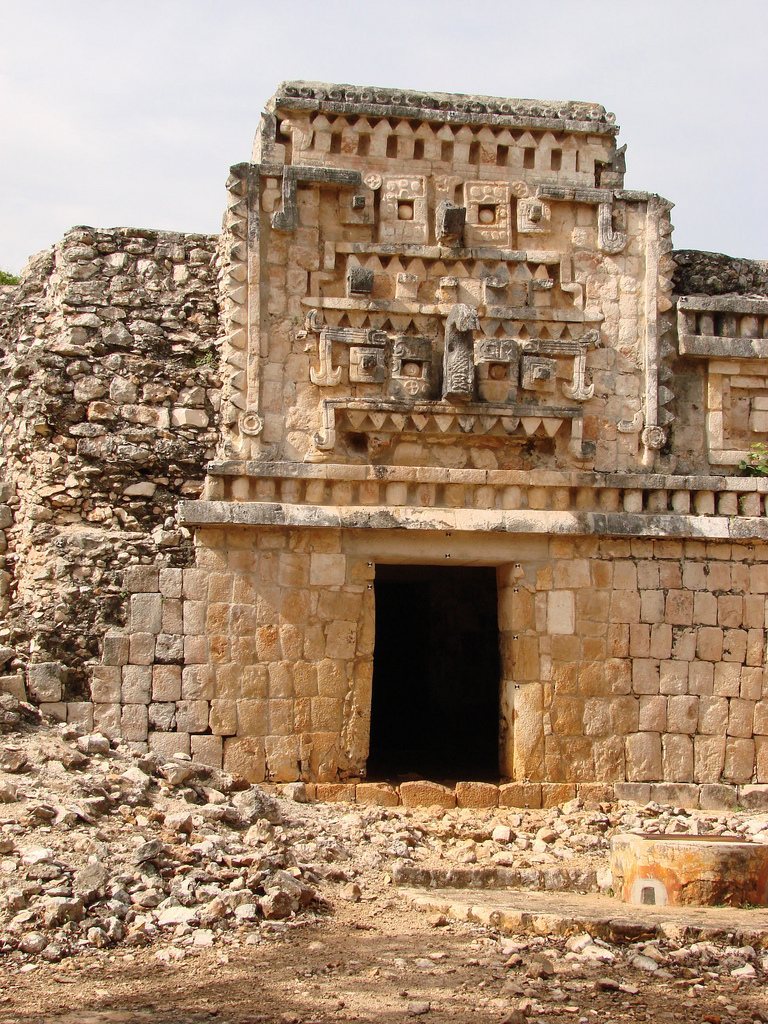
Xlapak was a Maya settlement in the Puuc region of Yucatán, developed between approximately AD 600 and 1000 and known for palace buildings with…
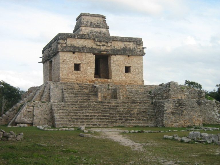
Dzibilchaltun was a major Maya city that developed over thousands of years in northern Yucatán. Its ceremonial groups, inscribed monuments, solar…
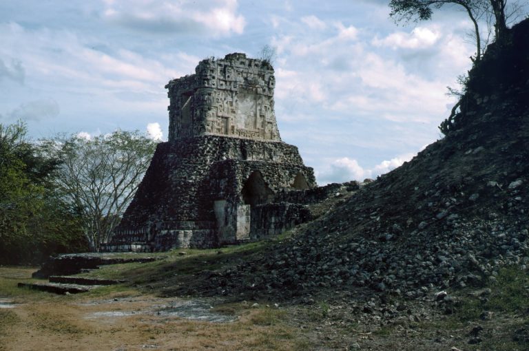
Dzibilnocac was a politically important Maya city in the Chenes region of Campeche, flourishing mainly between AD 600 and 800. Its remains include…
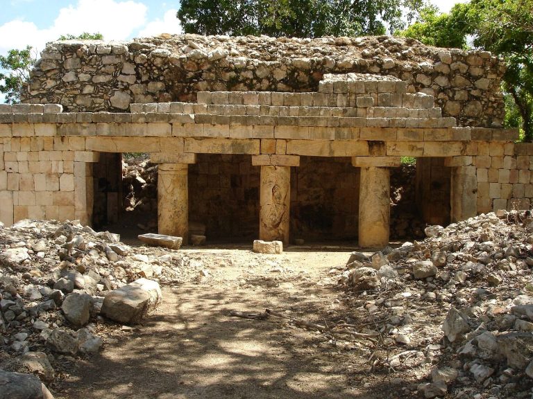
Xcalumkin is a Maya settlement in Campeche whose principal prosperity fell between about AD 600 and 1000. Its Puuc-style buildings, hieroglyphic…
For details on how to use the maps, which sites are included, how popularity and ratings are determined, and how sites are classified, see the help page.
On this page6 sections
Temple precincts and waterworks at Tikal
At Tikal in Guatemala, Temples I and II face one another across the Great Plaza, with the North and Central Acropolises along its other sides. Temple groups, palaces and residential areas occupy limestone ridges linked by raised causeways. The scale of the surviving center makes the relationship between individual monuments and the larger city particularly clear.
Water storage was essential to the settlement. Builders adapted depressions and former quarries as reservoirs, using plastered surfaces and channels to direct rainfall toward them. The temples therefore belonged to a city with substantial engineered water supplies, as well as ceremonial spaces and royal buildings.
Palace courts at Uxmal and Palenque
Uxmal in Mexico preserves the characteristic stone decoration of the Puuc region. Long ranges enclose courts, with comparatively plain lower walls beneath elaborate upper façades. Stone mosaics form geometric patterns, serpents and masks of the rain deity Chaac. Cisterns and reservoirs accompanied these monumental buildings in a landscape where water had to be collected and stored.
The Palace at Palenque developed as a network of courts, corridors and interconnected buildings on a raised terrace. The nearby Temple of the Inscriptions contained the burial of the seventh-century ruler Pakal. Streams cross the city through open and vaulted channels, fitting its built spaces to a wetter setting than Uxmal. The two sites preserve different solutions to palace design and water management, within distinct Maya kingdoms.
Plazas and pyramids at Xunantunich
Xunantunich stands above the Mopan River in Belize. Its central plazas are bordered by palace buildings and pyramids, with the large structure known as El Castillo dominating the southern end. The main ceremonial spaces developed through repeated construction, while a palace group occupied the northern part of the center.
The relationship between elevated buildings and open plazas is easy to follow in the surviving core. Excavated royal monuments and inscriptions supply a more specific political history, connecting the architectural sequence with rulers and neighboring centers. The individual article distinguishes conserved and reconstructed surfaces from the remains on which they are based.
Household remains at Joya de Cerén
Joya de Cerén in El Salvador preserves a farming settlement buried by volcanic ash. Earth-built houses, separate activity buildings and cultivation areas survive through the exceptional conditions created by the eruption. Domestic compounds place household work and food production within a settlement plan, rather than leaving them to be inferred from royal monuments.
The buildings stood on low earthen platforms and used construction techniques very different from the great limestone temple cities. Their preservation provides evidence for the arrangement of ordinary living and working spaces. The eruption sealed these remains; the protective structures over them belong to the modern archaeological site.
Successive platforms at Tazumal
Tazumal, also in El Salvador, contains a large platform and pyramid formed through successive enlargements. Earlier structures were joined and enclosed as the ceremonial center developed. The present appearance also owes much to twentieth-century excavation and reconstruction, including extensive cement work. Later investigations have exposed parts of the construction sequence that those interventions covered.
Explore Maya places
Use the map and grid to compare cities in different regions, then open their articles for plans, surviving features and historical context. The collection includes settlements of different dates and sizes, rather than a single uniform city type.