Xel-Há: A Maya Ceremonial Center and Maritime Port in Mexico
Site at a Glance
- Rating
- 4.2
- Popularity
- Low
- Country
- Mexico
- Primary era
- Medieval
- Eras represented
- Classical, Medieval
- Civilizations
- Maya
- Site type
- City
On this page11 sections
History
Xel-Há is a Maya archaeological site on the eastern coast of the Yucatán Peninsula in Quintana Roo, Mexico. Occupied from the first century AD, it developed into a ceremonial center and walled maritime port, with construction beginning around AD 200 and activity continuing through the Classic and Postclassic periods of Maya history. Its Yucatec Maya name combines roots interpreted as “spring” and “water.”
Growth as a Maya port
Xel-Há remained active for at least a millennium. It formed part of the maritime network associated with Cobá, a major Maya city in the Yucatán region, alongside the ports of Tancah and Tulum. From the seventh to the twelfth centuries, Xel-Há probably served as an important point of maritime and intercultural exchange between Maya communities and other Caribbean seafaring peoples.
The site grew substantially during the Late Postclassic period, around AD 1200. Most of its known buildings were rebuilt during this phase. Although its foundation date is uncertain, the long sequence of occupation and rebuilding reflects the continuing importance of Xel-Há before the arrival of the Spanish.
Spanish arrival and abandonment
In 1527 and 1528, Francisco de Montejo the Elder used Xel-Há as a base during the first unsuccessful Spanish expedition to establish control over the Yucatán Peninsula. After arriving from Cozumel, he founded the temporary settlement of Salamanca de Xel-Há, intending it to become the first Spanish settlement on the peninsula. He named it after Salamanca, his birthplace.
The settlement quickly suffered from inadequate supplies, disease, and hunger. About fifty men died during its first two months, and Montejo ordered the ships scuttled to prevent the expedition from being abandoned. A northern force of approximately 125 men heading toward Ecab, near Cape Catoche, lost about half its strength through illness and a battle with Maya forces near Aké. Many of the roughly 65 men left at Salamanca de Xel-Há were killed in Maya raids.
A ship from Santo Domingo later brought provisions and reinforcements, but another Spanish expedition toward Chetumal also failed. Within eighteen months of the Spanish arrival, Salamanca de Xel-Há and the other Spanish positions on the eastern coast were abandoned. The site was temporarily occupied by Spanish colonists in 1527 and was estimated to be entirely in ruins by about 1550. Its pre-Columbian occupation ended with the Spanish arrival, although Xel-Há was probably not completely abandoned until the nineteenth century.
Nineteenth-century rediscovery
In 1841, the American explorer and writer John Lloyd Stephens and the British artist and architectural illustrator Frederick Catherwood discovered a stela at Xel-Há bearing an Early Classic date corresponding to AD 564. The monument provided a chronological marker for the site’s Maya history.
Remains
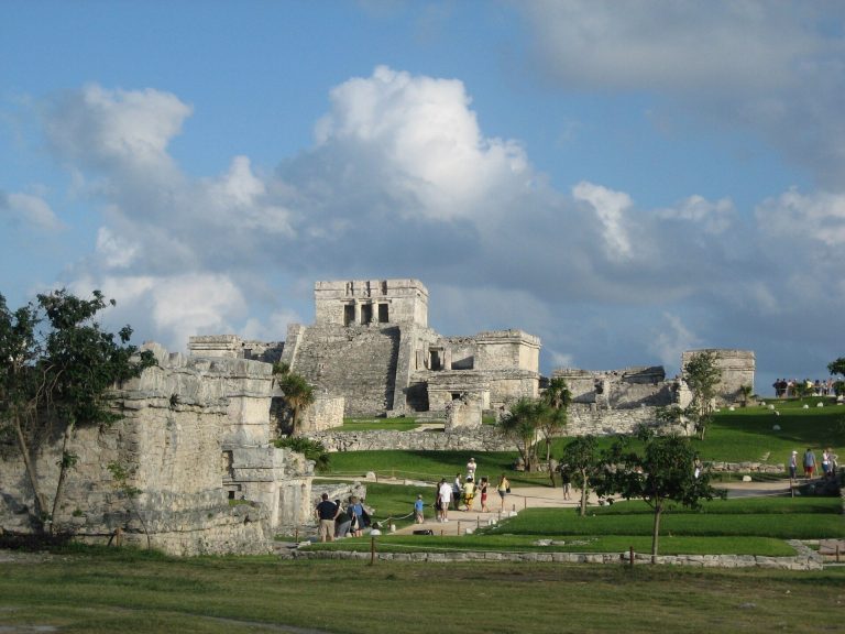
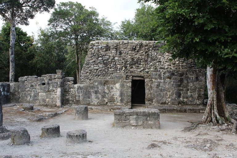
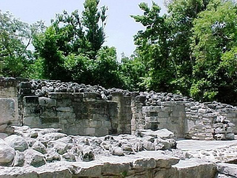
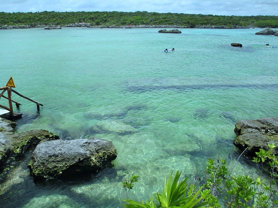
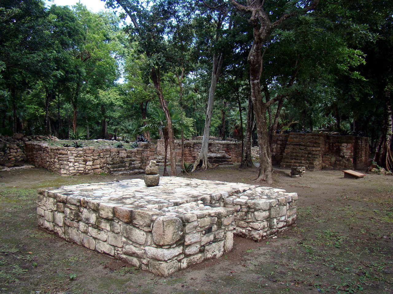
Xel-Há occupies a lagoon or inlet on the Caribbean coast. Its ceremonial center is arranged in five groups of buildings and palaces connected by sacbeob, raised Maya roads traditionally surfaced with white plaster or lime. The roads at the site range from 4 to 20 meters in width. The principal construction materials are limestone and stucco, and the remains include sanctuaries, platforms, temples, palaces, residential platforms, buildings, altars, and mural paintings.
Palaces and architectural groups
Palace Groups
The Palace Groups were built during the Early Classic period, around AD 300 to 600. They form the oldest and largest architectural group at Xel-Há and stand on a natural prominence. Residential platforms, buildings, and altars occupy the group, whose architecture suggests influence from the Petén region of Guatemala.
Las Pilastras
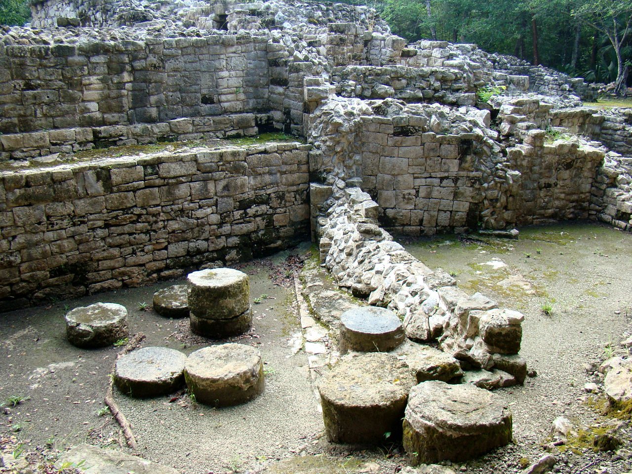
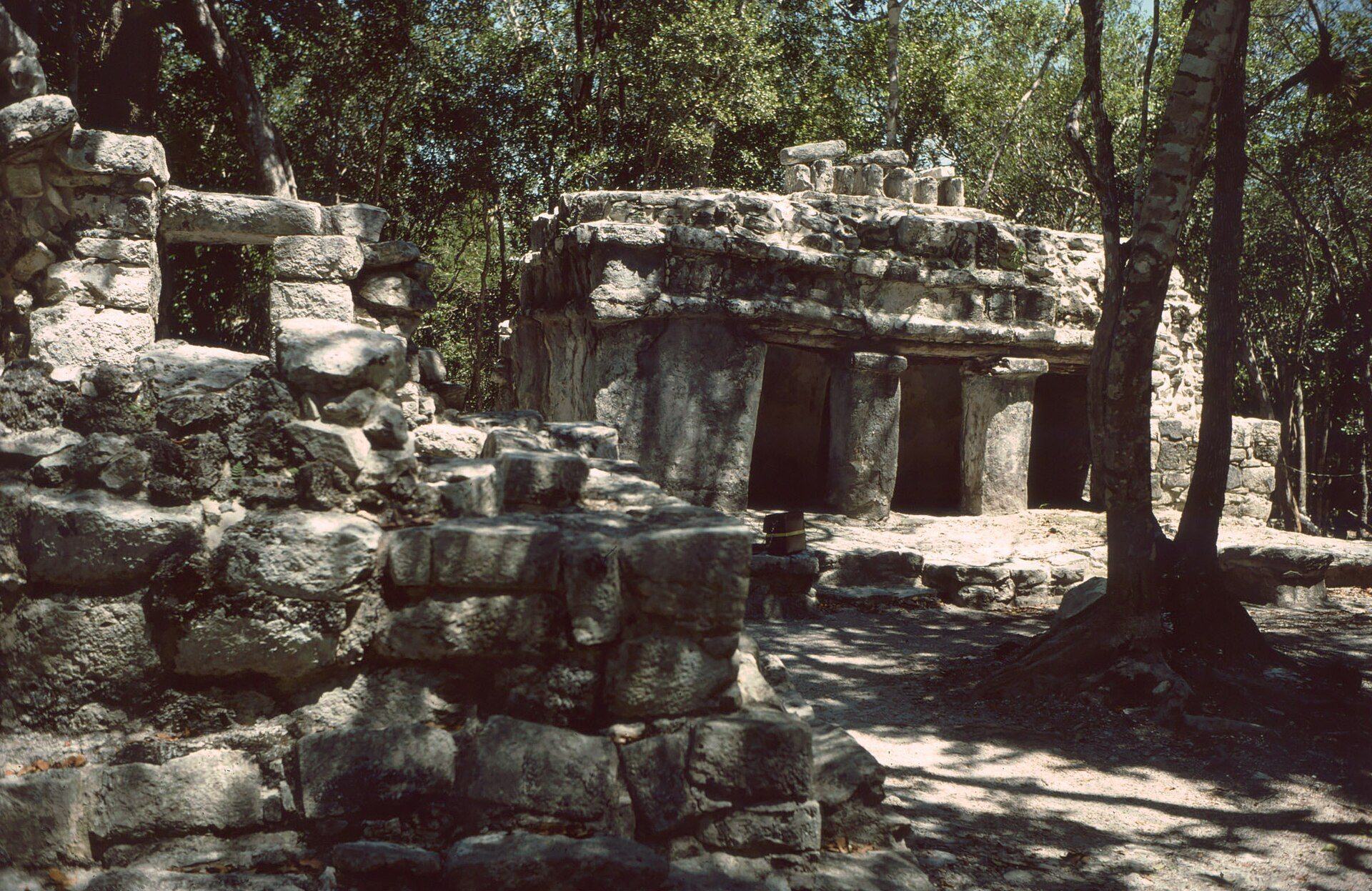
Las Pilastras is a palace-type building probably occupied by the city’s rulers. Its basal structure has two construction phases. Eight columns from the first phase gave the building its name.
Lothrop Group
The Lothrop Group consists of a small collection of stone platforms with stairways and has a single construction phase. It takes its name from the archaeologist Samuel K. Lothrop, who studied the Maya area.
Group of the Birds
The Group of the Birds is centered on the partially destroyed Casa de los Pájaros. Its interior retains elaborate mural paintings showing local birds, glyphs, and a figure identified as Tlaloc, a central Mexican deity associated with rain and water. The figure’s features display a marked influence from Teotihuacan, the ancient city in central Mexico whose artistic and religious influence reached other Mesoamerican regions.
Group of the Jaguar
The Group of the Jaguar lies beside the blue waters of a deep cenote, a naturally formed sinkhole or limestone cavity containing groundwater. Five small temple structures stand on a platform. They retain lintels made from chicozapote wood and remnants of brightly colored wall paintings depicting handprints.
The principal temple, Casa del Jaguar, preserves remnants of a painting showing a descending feline. Together with the other structures in the group, it forms part of the ceremonial architecture positioned beside the cenote.