Dzibilchaltun: A Major Maya City in Northern Yucatán
Site at a Glance
- Rating
- 4.5
- Popularity
- Low
- Country
- Mexico
- Primary era
- Classical
- External website
- Open
- Eras represented
- Iron Age, Classical, Medieval, Early Modern
- Civilizations
- Maya, Spanish
- Site type
- City
On this page12 sections
History
Dzibilchaltun is a major Maya archaeological city in the northern Yucatán Peninsula of Mexico, occupied from at least the ninth century BC and developed through the Preclassic, Classic, and Postclassic periods. The Maya were a Mesoamerican civilization known for complex political systems, monumental architecture, writing, mathematics, astronomy, and calendar traditions. The city’s name is commonly translated as “place where writing is found on flat stones,” a reference to its many inscribed stone monuments.
Early settlement and urban growth
Settlement at Dzibilchaltun began by at least the ninth century BC. The population grew markedly around 250 BC, and the site expanded repeatedly into a substantial city. Its position may have been influenced by access to the coastal salt-producing region, about 22 kilometres away, while the city itself stood on relatively fertile and habitable ground between areas of mangrove swamp and exposed rock.
Dzibilchaltun continued to develop through successive Maya periods. During the Late Classic, the later part of the Classic period when many Maya cities reached their greatest political and architectural development, it became a regional power. Its greatest importance came between about AD 800 and 1000, when it controlled a substantial area of northwestern Yucatán and had a population estimated at more than 25,000 people. Another estimate places the population at about 40,000 near the end of the Classic period, around AD 830.
Rulers and later occupation
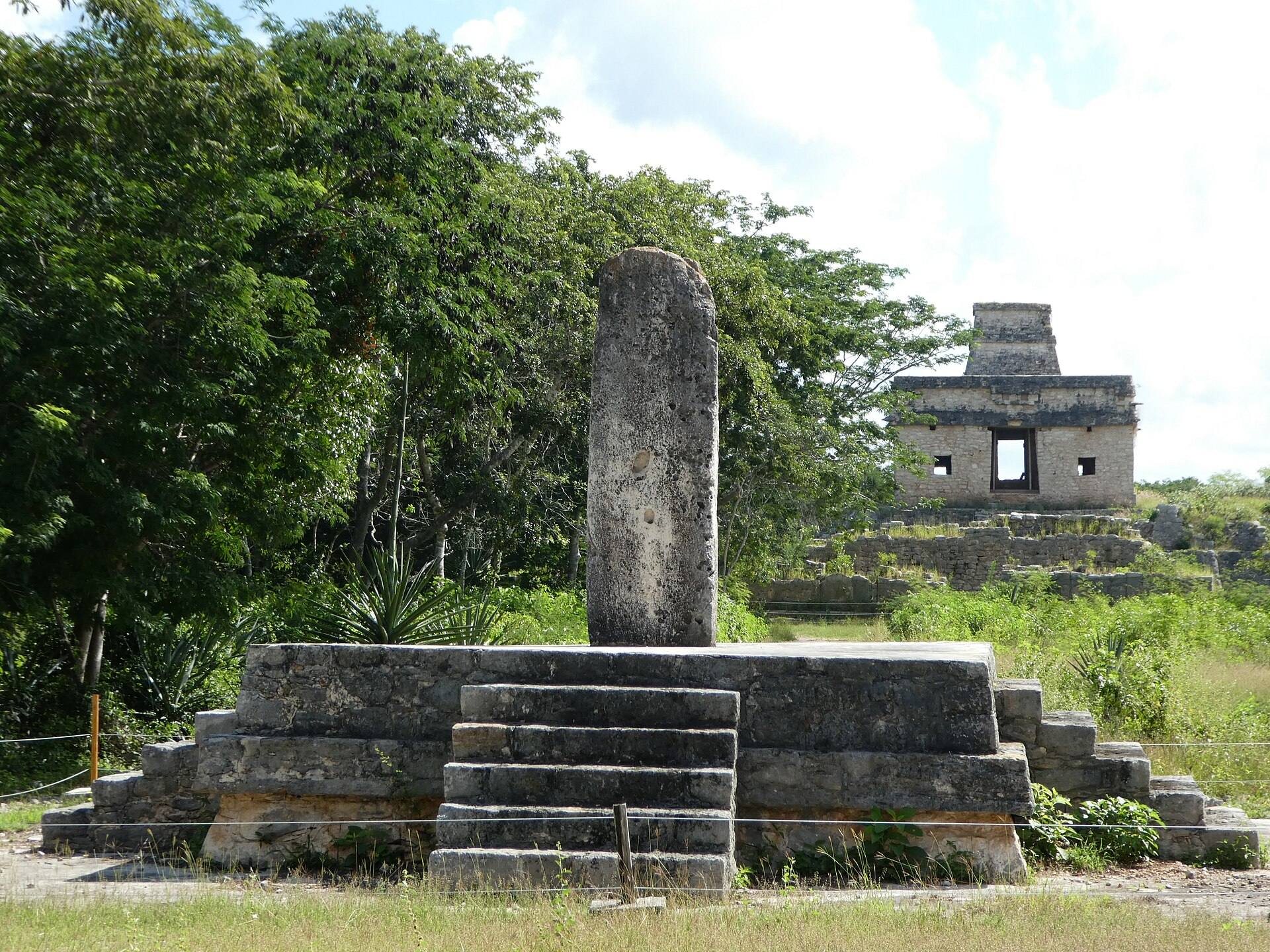
Inscriptions on the city’s stone monuments name several rulers. Stela 9, an upright carved stone monument, dates to about AD 830 and identifies Kalom Pitsil Cha’ak. Stelae 10 and 19, dated to about AD 840, name K’alo’mte’ Uk’uuw Chan Chaahk. Stela 10 commemorates at least one king of Dzibilchaltun, providing evidence for the city’s political leadership during its Late Classic prominence.
Construction and occupation continued into the early second millennium AD, although building activity and population declined between the eleventh and thirteenth centuries. The settlement continued into the Colonial period after the Spanish conquest. A sixteenth-century open chapel built within the ancient city demonstrates that the area remained in use during that period.
Archaeology and preservation
Excavations at the Temple of the Seven Dolls during the 1950s revealed seven small clay figurines beneath the building’s floor. The archaeological zone now lies within Dzibilchaltun National Park, designated in 1987 and covering 5.39 square kilometres. Mexico’s National Institute of Anthropology and History administers the archaeological site.
The Dzibilchaltun museum reopened in 1994 as the Museum of the Maya People, replacing the earlier site museum. It presents archaeological, historical, and ethnographic material from Dzibilchaltun and the surrounding region, including evidence for roughly three thousand years of Maya cultural development and the continuation of Maya culture into the twentieth century.
Remains
Urban core and ceremonial groups
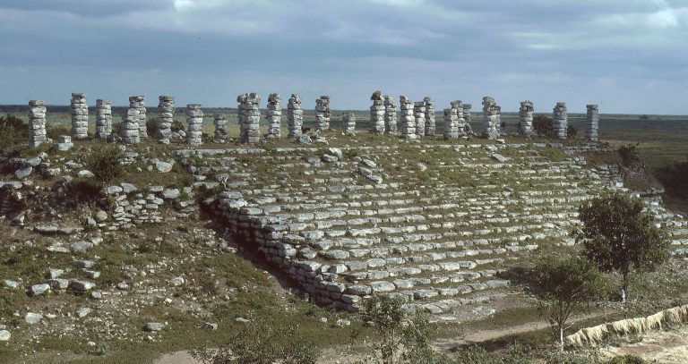
Dzibilchaltun’s central area covers approximately 25 hectares and contains numerous ceremonial groups with pyramids, temples, plazas, and inscribed stone monuments. A wider survey identified approximately 8,000 buildings across an area of about 16 square kilometres. The archaeological landscape lies within the dry forest of the Yucatán Peninsula at approximately 9 metres above sea level.
Temple of the Seven Dolls
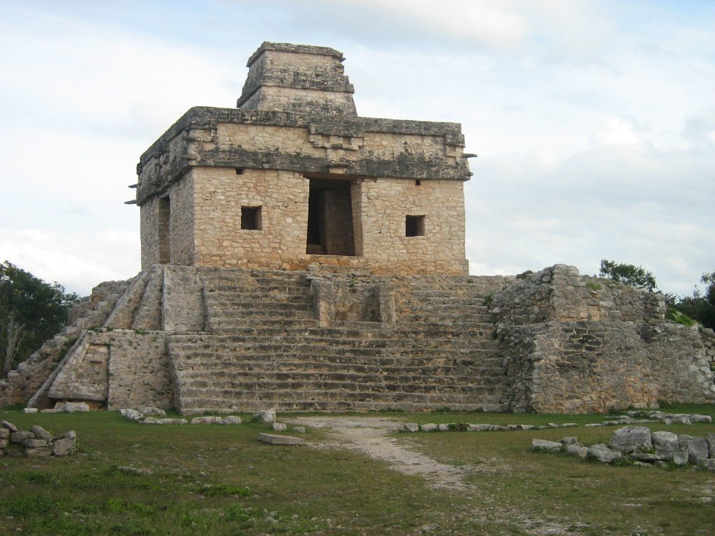
The Temple of the Seven Dolls, also called the Temple of the Sun, is the most prominent structure at the site. It was built beneath a later temple pyramid, and its name comes from the offering of seven small, unbaked clay figurines placed below its floor. Openings on the eastern and western sides allow the sun to be seen through the building around the spring and autumn equinoxes, especially at the spring equinox. The effect can be observed over several days, although its interpretation as an intentional equinoctial alignment remains uncertain.
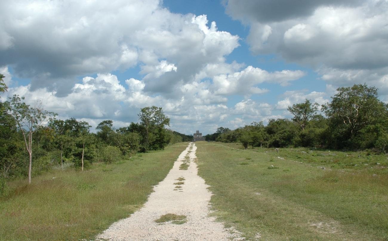
The temple served as a focal point within the city. The principal sacbe, a raised Maya road surfaced with light-coloured limestone, linked it with other architectural groups and with Cenote Xlakah.
Sacbeob
A network of long sacbeob, the plural of sacbe, connected different parts of Dzibilchaltun with the principal plaza and the cenote. These raised roads were built over stone-and-rubble fill and originally coated with white limestone, creating a structured network across the urban area.
Cenote Xlakah
Cenote Xlakah lies near the centre of the ruins. A cenote is a natural limestone sinkhole that exposes groundwater and can serve both as a water source and a ritual place. Xlakah is an open cenote approximately 40 metres across and 100 metres long, with sections reaching about 40 metres in depth. Its Maya name means “old town.”
The cenote supplied clean drinking water and may have influenced the choice of Dzibilchaltun’s location. Divers recovered carved bones, wooden objects, and especially vessels from its waters, indicating that Xlakah was also associated with a religious cult.
Colonial and museum remains
Sixteenth-century chapel
The ruins include a sixteenth-century Spanish open chapel built after the conquest. Its position within the ancient settlement reflects the continued use of the area during the Colonial period.
Museum collections
The Museum of the Maya People preserves and displays about 700 archaeological and historical objects from Dzibilchaltun and the adjacent region. The collections include stelae, ceramics, carved stone, civil and religious sculptures, textiles, clothing, and objects connected with daily and ritual activities. The displays also include inscriptions from Chichén Itzá and Uxmal, together with Colonial-period stone objects such as grave slabs and heraldic emblems.