Historic Sites in Israel: Explore Ancient Cities, Palace Fortresses and Crusader Halls
Explore historic sites in Israel, including Roman and Byzantine cities, fortified palaces, ancient synagogues, Crusader halls and Ottoman inns. Examples from Caesarea, Beit She’an, Masada, Capernaum and Acre show paved streets, heated baths, cliffside residences and vaulted rooms. Some complexes preserve several periods of building within the same enclosure.
Primary Function: All
Type: All
Civilization: All
Popularity: All
Rating: All
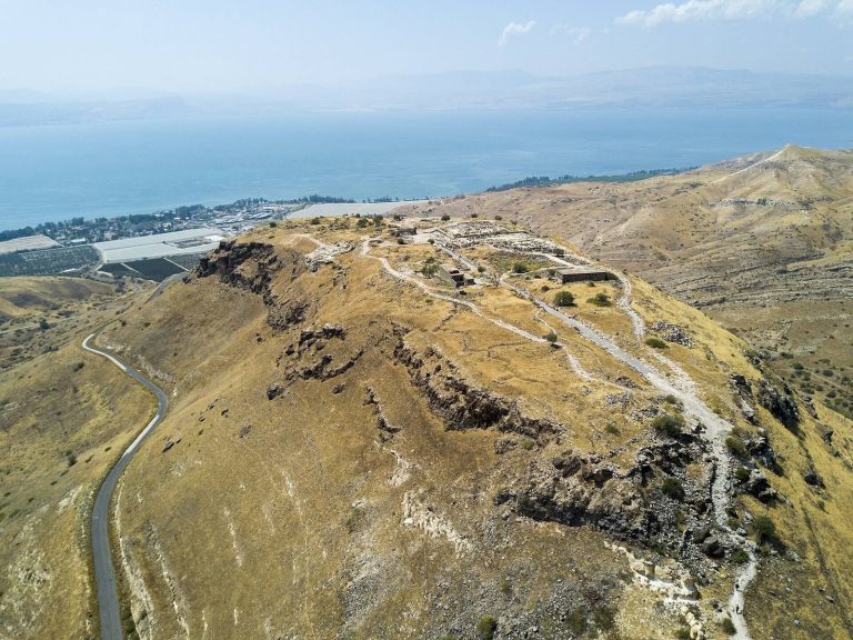
Founded by Seleucid colonists, Hippos became a Greek civic center associated with the Decapolis and later a Roman and Byzantine city. Its hilltop…
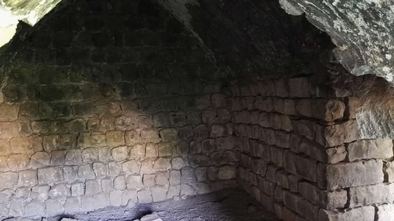
Jubb Yussef is a historic well and crossroads associated with the tradition of Joseph’s pit. Its remains include a medieval caravan station, a…
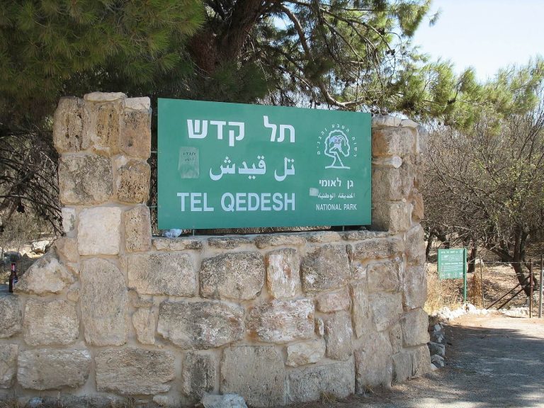
Kedesh in Upper Galilee preserves evidence of Bronze Age settlement, Persian and Hellenistic administration, a Roman temple, and the later village of…
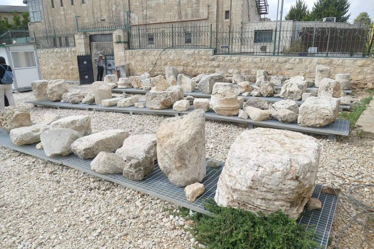
The Tombs of the Kings is a monumental Jewish funerary complex in Jerusalem, commonly associated with Queen Helena of Adiabene. Its unfinished state,…
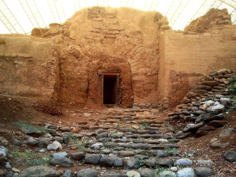
Dan, identified with Tel Dan in the Upper Galilee, preserves evidence of Neolithic settlement, a major Canaanite city, an Israelite royal sanctuary,…
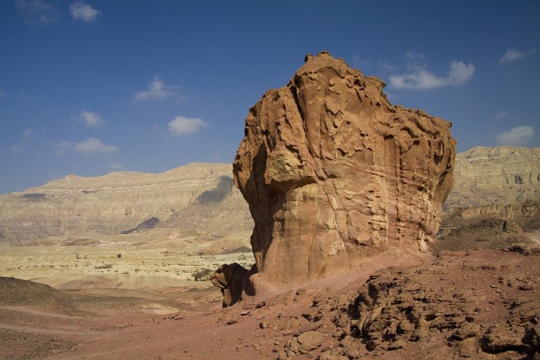
Timna Valley in southern Israel preserves evidence of human activity from the Neolithic period through the Middle Ages, including mines, smelting…
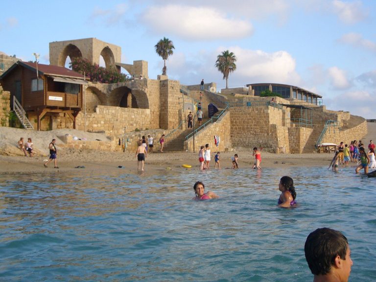
Akhziv National Park preserves the coastal site of ancient Achziv, a Phoenician port and road station with archaeological remains spanning the Bronze…
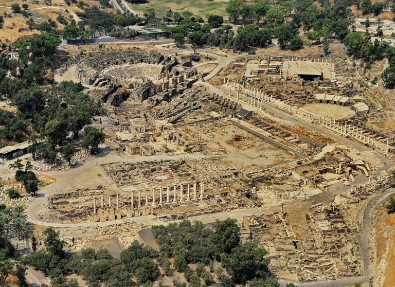
Beit She'an National Park preserves a settlement occupied from the Neolithic period through the medieval era, including an Egyptian administrative…
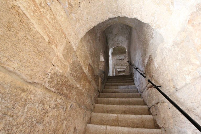
Sepphoris was a major urban, religious, and commercial center in Galilee, shaped by Hellenistic, Roman, Byzantine, Islamic, Crusader, Mamluk, and…
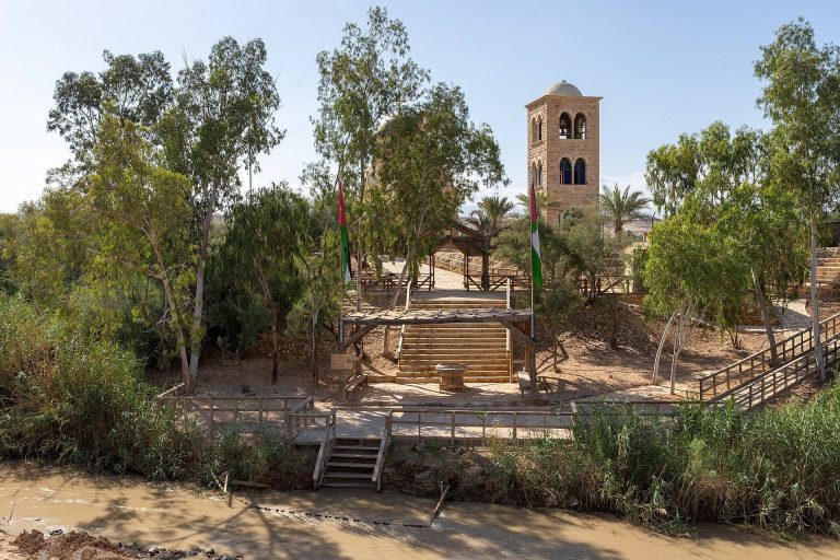
Qasr al-Yahud is a traditional Christian pilgrimage and baptism site on the western bank of the Jordan River, associated with the baptism of Jesus…
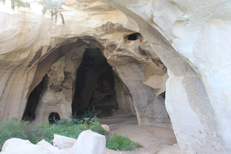
Beit Guvrin-Maresha National Park preserves the remains of Maresha and Beit Guvrin, including Hellenistic town features, Roman and Crusader…
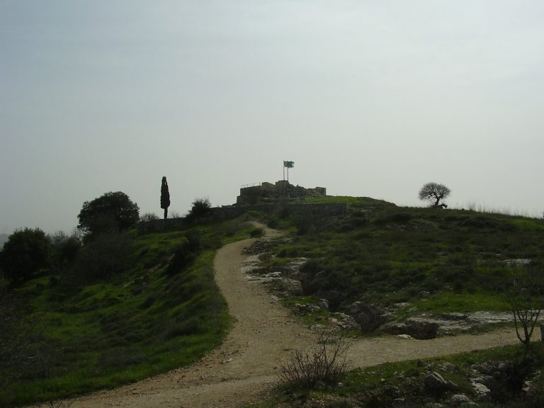
Castel National Park preserves a fortified summit in the Judean Mountains where ancient fortresses, a Palestinian village, and the decisive fighting…
For details on how to use the maps, which sites are included, how popularity and ratings are determined, and how sites are classified, see the help page.
On this page6 sections
Ancient cities, streets and baths
Caesarea developed as a planned coastal city under Herod, with streets, public buildings and an artificial harbour. Its Roman theatre retains a substantial auditorium, extensively restored after excavation. The wider site includes bath complexes and the remains of administrative buildings, while medieval walls define a smaller Crusader town within the earlier city. These different boundaries help distinguish the ancient urban area from the settlement fortified in the thirteenth century.
At Beit She’an, the Roman and Byzantine city spreads below an older settlement mound. Paved streets run between colonnades and public buildings, with parts of the columns re-erected during conservation. The theatre preserves a substantial lower seating block, while the western bathhouse includes halls, bathing pools and heated rooms. Furnaces and underfloor heating remains explain how hot rooms operated; courtyards and mosaic pavements show the spaces used before and after bathing.
Palaces and fortified residences
Masada combines royal residences, storerooms, service buildings and defences on an isolated plateau above the Dead Sea. Herod’s Northern Palace descends the cliff in three terraces, supported in places by substantial retaining walls. Its position separates the residential and reception spaces from much of the activity on the summit.
The Western Palace had a different arrangement, with rooms grouped around a courtyard and separate areas for administration, workshops and storage. A decorated mosaic room survives within its royal sector. Long storerooms and water installations elsewhere on the plateau supported the household and garrison, giving the site much more than the outline of a defensive enclosure.
Synagogues and religious buildings
The Capernaum Synagogue uses pale limestone in a settlement where domestic buildings were generally built from dark basalt. Its principal prayer hall was divided into three aisles by rows of columns, with stone benches along the walls. Corinthian capitals and carved reliefs combine architectural ornament with Jewish motifs, including menorahs.
The surviving limestone building is generally dated to the fourth or fifth century. Earlier basalt courses lie beneath it, so the standing remains should not be treated as the first-century synagogue associated with the New Testament tradition. The later building has its own substantial plan, courtyard and carved architectural fragments.
Fortified headquarters and vaulted halls
The Hospitaller Commandery of Saint-Jean-d’Acre preserves multiple levels of a medieval complex beneath later buildings. Large vaulted halls occupy its northern wing, while arcades and other ranges surround a broad courtyard. Fortified gates controlled entry, and wells and plastered basins served water needs. The surviving lower spaces belong to the military order’s extensive headquarters, with later Ottoman construction above parts of the medieval fabric.
Caravanserais and merchants’ inns
Beside Acre’s port, Khan al-Umdan was built in 1784 for merchants and their goods. Two storeys of arcades surround a courtyard, supported by reused granite columns. Trade and storage occupied the lower floor, with lodging above. Barrel vaults cover spaces behind the galleries, and a later clock tower marks the entrance.
Explore the collection
Explore sites on the map or in the grid. Map icons indicate each site’s primary function, helping you identify different kinds of places at a glance. Narrow the results by primary function, site type, civilization or era, with additional filters for popularity and rating. Select a map marker to view the site’s details and open its article, or open the article from its grid entry.