Dan: An Ancient Canaanite and Israelite City in Israel
Site at a Glance
- Rating
- 4.7
- Popularity
- Medium
- Country
- Israel
- Primary era
- Iron Age
- External website
- Open
- Eras represented
- Stone Age, Bronze Age, Iron Age, Classical
- Civilizations
- Assyrian, Canaanite, Israelite
- Site type
- City
On this page22 sections
History
Dan is an ancient city in Israel, identified with Tel Dan in the Upper Galilee, whose successive occupations span the Neolithic period, the Bronze Age, the Iron Age, and later historical periods. The site was first occupied around 4500 BC and became the Canaanite city of Laish in the middle of the third millennium BC. In the Hebrew Bible, Laish is also called Leshem and is associated with the northernmost city of the Kingdom of Israel and with the Tribe of Dan.
Neolithic and Canaanite Laish
The earliest settlement at Dan dates to the Late Neolithic period, around 4500 BC. It continued for several centuries before being abandoned for approximately 1,000 years during the fourth millennium BC. A new Canaanite city, Laish, was established around the middle of the third millennium BC and developed connections beyond the southern Levant.
Laish traded with Mesopotamia and the Sidonians. Egyptian execration texts and documents from Mari identify the city as a source of tin, a material used in producing bronze. Objects associated with Mycenaean culture, the Bronze Age civilization centered in mainland Greece and the Aegean, were also found at the site. One tomb contained the remains of approximately 40 people.
Thutmose III, an Egyptian pharaoh of the Eighteenth Dynasty, conquered Laish in the fifteenth century BC. After Egypt withdrew from Canaan during Iron Age I, the city became independent and formed an alliance with Sidon. Its distance from its ally and the mountain ranges between them limited the practical protection that the alliance could provide.
From Laish to Dan
The biblical tradition relates that 600 Danite warriors attacked Laish, killed its inhabitants, burned the city, and rebuilt it on the same site. They named the settlement Dan after the ancestor of the tribe. The archaeological sequence supports a historical relationship between the earlier Canaanite city and the later Israelite settlement.
The same biblical account connects the new city with a sanctuary containing an image taken from Micah’s household. The archaeological evidence identifies a major cultic complex in the northern part of the tell, generally associated with the temple attributed to Jeroboam I. Only limited remains predating his reign have been found, and no earlier temple corresponding securely to the sanctuary in the story of Micah has been identified.
Israelite and Aramaean rule
After the united Israelite monarchy divided in the tenth century BC, Jeroboam I, the first king of the separate Northern Kingdom of Israel, established sanctuaries at Dan and Bethel. Dan became a major royal and national cult center for the northern kingdom and housed one of Jeroboam’s golden calves. Its use continued until the Assyrian conquest and possibly until the religious reforms of Hezekiah.
Dan stood near the frontier between Israel and Aram-Damascus, the Aramaean kingdom centered on Damascus. During the period when iron technology became widespread across the eastern Mediterranean and Israelite and Aramaean kingdoms emerged, the city changed hands repeatedly amid Aramaean expansion. These conflicts included episodes during the reign of Ahab of Israel and the rule of the Aramaean kings Ben-Hadad I and Hazael.
The Tel Dan inscription was produced during one period of Aramaean control, probably under Hazael, although some scholars attribute it to Ben-Hadad I. Carved in Aramaic in an ancient Hebrew script, the fragmentary text refers to a king of Damascus and includes the expressions “House of David” and “King of Israel.” The “House of David” is a dynastic expression referring either to the Davidic royal line or, in some interpretations, to the kingdom associated with it.
Assyrian conquest and later occupation
The Neo-Assyrian Empire first reduced the Northern Kingdom of Israel to vassal status. After a rebellion, Tiglath-Pileser III, an emperor whose campaigns expanded Assyrian control across the Levant, invaded and destroyed Dan around 733–732 BC. Part of the population was deported, and the Assyrians transferred other inhabitants into the region.
Dan was then resettled as a regional administrative center. New residential quarters and an imperial public building were established, reflecting its incorporation into the Assyrian provincial system. Settlement activity later declined, although cultic activity continued around the former sanctuary podium during the Persian, Hellenistic, and Roman periods. The site was rebuilt as a Hellenistic settlement with a notable shrine and was ultimately abandoned during the Roman period, when the principal settled center of the region shifted to Banias.
Excavation and preservation
Excavations were conducted by the Antiquities Department and Museums from 1966 to 1974 and subsequently by the Nelson Glueck School of Biblical Archaeology at Hebrew Union College. Abraham Biran directed the Tel Dan expedition from 1966 to 1999. In 1992, conservation workers cleared debris from the Assyrian destruction, exposing an additional gate and plaza.
Dan is preserved within the Tel Dan Nature Reserve, declared in 1974 over 39 hectares and enlarged by a further nine hectares in 1989. The reserve protects the tell, its springs, the Dan River, and the surrounding vegetation. The site also has a modern military history. A military post occupied part of the area until the Six-Day War in 1967, and communication trenches were excavated around it. The discovery of the Tel Dan inscription in 1993 provided the earliest known archaeological reference to the “House of David” in a source dating before 500 BC. Its fragmentary reconstruction remains partly conjectural, and the inscription has been displayed at the Israel Museum since the late twentieth century.
Remains
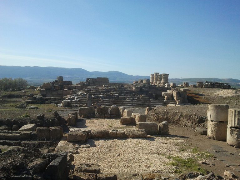
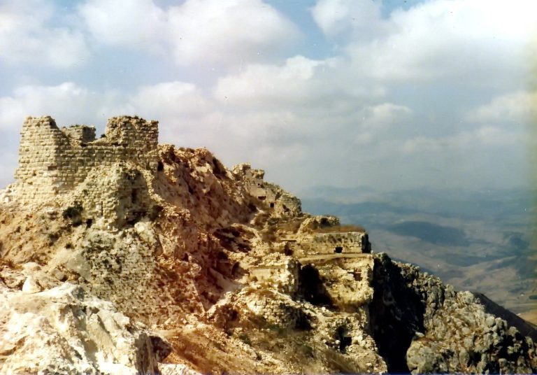
Tel Dan is a tell, an artificial mound formed by accumulated settlement debris and successive occupations, with an elliptical plan approximately 400 to 500 meters across. It covers about 200 dunams and rises to approximately 204 meters above sea level, about 0.5 kilometers north of Kibbutz Dan. Sixteen archaeological strata have been identified, extending from the Neolithic period through the Iron Age and into the Persian-Hellenistic, Roman, and late Islamic periods.
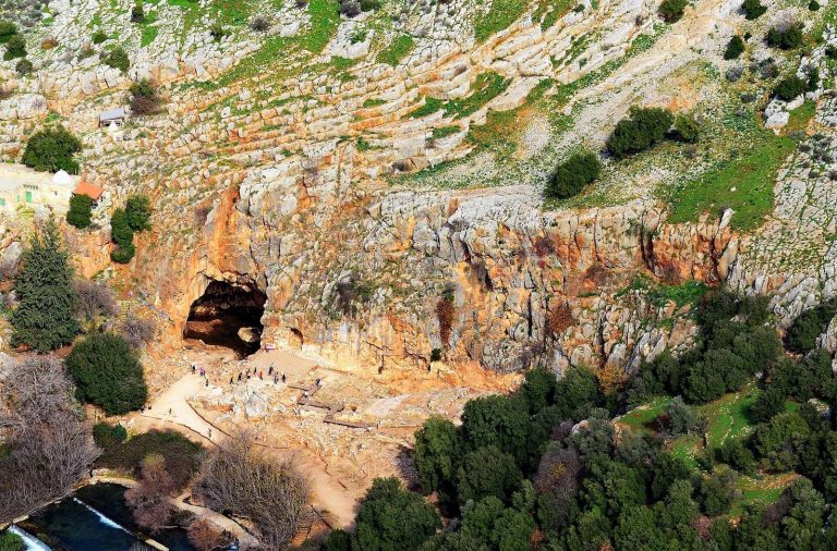
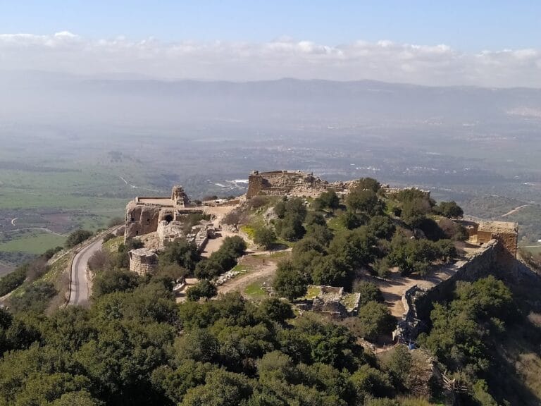
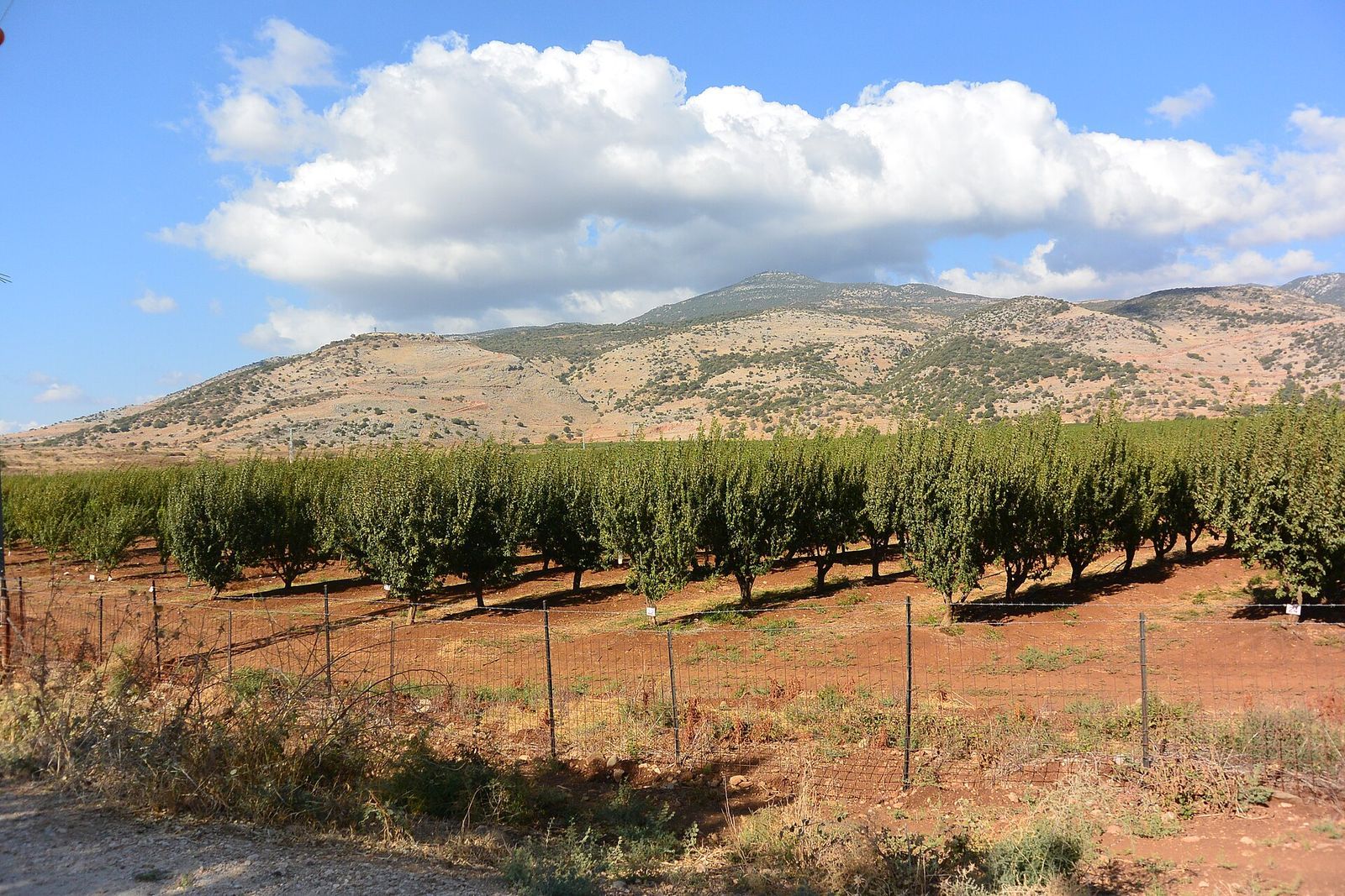
The tell lies in the fertile Upper Galilee Panhandle. Mount Lebanon rises to the west, while Mount Hermon and the southern Anti-Lebanon range lie to the east and north. Snowmelt from Mount Hermon feeds the Dan River, one of the three principal sources of the Jordan River, and supports the lush vegetation around Paradise Springs and the archaeological reserve.
Canaanite fortifications and entrance
Earthen rampart
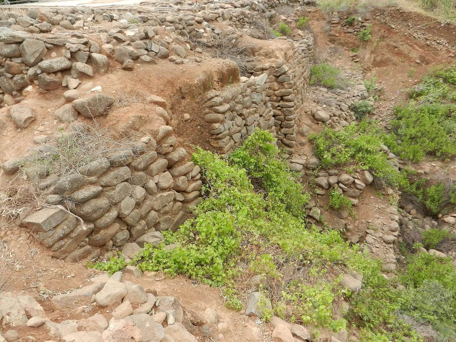
The Early Bronze Age settlement was fortified, while the principal surviving Canaanite defenses belong mainly to Middle Bronze II B–C, around 1750–1550 BC. A large earthen rampart surrounded the tell. Its core combined stone, reused earlier structures, local soil, and debris from earlier occupations. The base was approximately 50 to 60 meters wide, and its reconstructed height was about 20 meters. Surviving portions of the stone core reach approximately 10.5 meters in height and 6.5 meters in width. Some exterior areas were covered with calcareous soil to reduce erosion, although the rampart’s purpose, whether defensive or partly propagandistic, remains uncertain.
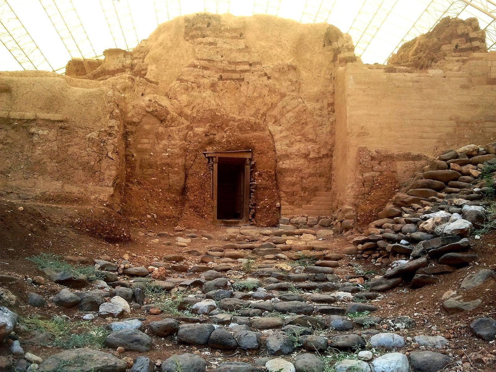
Canaanite city gate
The Canaanite gate stood on the southeastern side of the city and was built around the middle of the eighteenth century BC. It rises approximately 7 meters, measures about 15.45 meters wide and 13.5 meters long, and stands on a mound about 10 meters high. Its 47 courses of mud brick rest on large upright basalt blocks called orthostats, a term for stones set vertically in a wall or foundation.
The gate has a completely preserved mud-brick arch, two projecting towers, and two chambers on each side of the passage, creating a four-chamber entrance. The passage is approximately 10 meters long and rises by steps from both sides before connecting internally with a contemporary street. Commonly called Abraham’s Gate or the Three-Arched Gate, it was sealed for an unknown reason, covered with earth, and incorporated into the later rampart. Its discovery in 1979 changed earlier assumptions about the use of arches in Canaanite architecture. A protective shelter was built over it in 2001, when the wall facade was dismantled and reassembled and structural cracks were repaired.
Israelite entrance and public area
Israelite gate
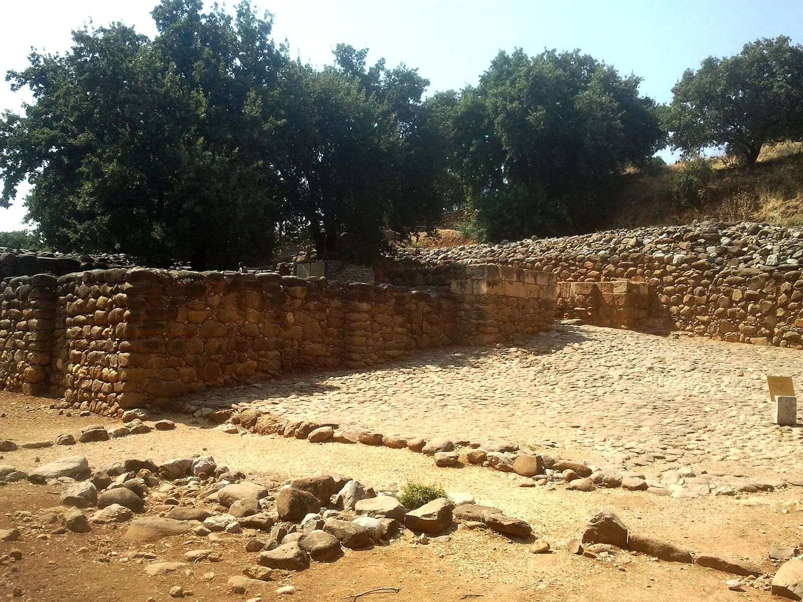
The Israelite gate was built on the southern side of the tell, in a different location from the earlier Canaanite entrance. It consists of an outer section, a middle section with four chambers, and an inner section that climbs the surrounding rampart and leads into the city. The outer threshold retains paving stones, sockets for the door pivots, and blocking stones used to hold the doors shut.
Gate platform and streets
Parts of the city wall associated with the Israelite period have been reconstructed and are probably connected with the reign of Jeroboam. The wall was apparently reduced during the reign of Ahab, leaving an open area outside it known as the “streets.” Public activity and markets were concentrated there, and a bench may have served as a seat for elders judging the people.
Near the gate is a raised square stone platform reached by two steps. Stone sockets at its corners may have held poles for a canopy, while the platform itself may have supported the king’s seat during judicial proceedings. Five basalt standing stones beside the eastern gate tower may have formed another gate platform.
Ninth-century outer gate
In 1992, the removal of debris from the Assyrian destruction revealed an additional outer gate dating to the ninth century BC. It opened onto a stone-paved plaza with a low stone platform and formed another part of the entrance complex. The platform and defenses were enlarged in the ninth century BC and again in the eighth century BC, probably under Jeroboam II, the later eighth-century king of the Northern Kingdom. Tiglath-Pileser III destroyed the complex during his campaign around 733–732 BC.
Iron Age sanctuary
Altar and high place
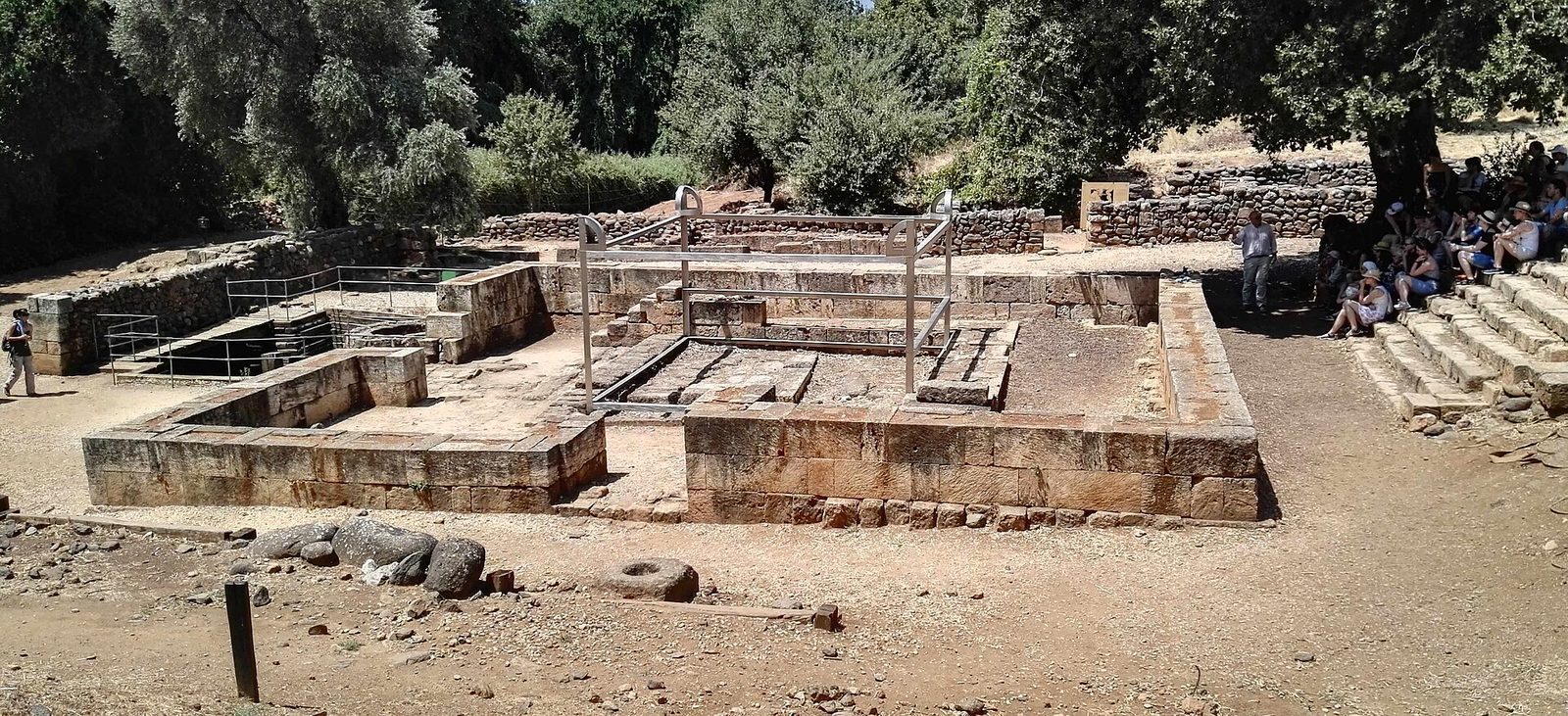
The cultic complex in the northern part of the tell included a large four-horned altar, an altar enclosure, priestly installations, and a raised podium or high place. A four-horned altar has projecting corners known as horns, which were characteristic ritual elements in ancient Levantine religious architecture. The altar was built from unhewn stones and had openings for draining sacrificial blood. Steps nearby appear to have conflicted with the biblical prohibition against approaching an altar by steps.
One altar horn survives beside the structure. Bronze bowls and fire pans were found nearby, along with bones of permitted animals that some scholars interpret as remains of sacrifices. The sanctuary podium was built during the period associated with Jeroboam I, enlarged under Ahab in the ninth century BC, and given additional steps under Jeroboam II in the eighth century BC.
Ritual installations
The sanctuary also contained facilities for producing and recycling materials used in ritual activity. A ninth- or tenth-century BC olive press and olive-oil installations could have supported anointing rituals, lamp lighting, libations, and oil-based offerings, while possibly generating income for the temple priests. A metal-recycling installation covering nearly one dunam was also found and is described as the largest installation of its kind in the region.
Assyrian administration
Public building
Area T-1 near the spring contains a public building dating to the Assyrian conquest and annexation of the Hula Valley in the third quarter of the eighth century BC. Its plan and associated objects display features interpreted as characteristic of an Assyrian provincial administrative center, or imperial enclave. The building belongs to the phase when Dan was resettled and served as a regional administrative center.
Inscriptions and later sanctuary
Tel Dan inscription
Fragments of a basalt stele bearing an Aramaic inscription were found within the city-wall remains near the outer gate. The text refers to a king of Damascus and includes the fragmentary sequence “House of David” and the phrase “King of Israel.” Most archaeologists attribute the inscription to Hazael, while a minority identify the ruler as Ben-Hadad I. Abraham Biran discovered it in 1993. The preserved writing uses a paleo-Hebrew script, an ancient form of Hebrew writing, without vowel notation. Although the reconstruction is disputed and the text is incomplete, it provides evidence for the political history of the region.
Hellenistic dedicatory inscription
A bilingual dedicatory inscription from the late third or early second century BC was found beside the altar enclosure. Written on a small limestone slab with three Greek lines and one Aramaic line, it records a vow to the god associated with Dan. Its wording may refer to a local manifestation of Yahweh or to a deity identified by place, as in Phoenician practice. Continued activity around the podium during the Persian, Hellenistic, and Roman periods included substantial construction at the Hellenistic sanctuary, while the inscription confirms that the settlement continued to be known as Dan.