Akhziv National Park: The Ancient Port and Historic Settlement of Achziv
Site at a Glance
- Rating
- 4.5
- Popularity
- Medium
- Country
- Israel
- Primary era
- Bronze Age
- External website
- Open
- Eras represented
- Bronze Age, Iron Age, Medieval, Early Modern
- Civilizations
- Canaanite, Crusader, Kingdom of Jerusalem, Mamluk, Ottoman, Phoenician
- Site type
- City
On this page16 sections
History
Akhziv National Park is a coastal archaeological and natural site in Nahariyya, Israel, preserving the remains of ancient Achziv, a settlement shaped by Canaanite and Phoenician communities from the second millennium BCE onward. Human occupation began by the eighteenth century BCE, and Achziv had become a walled town by the tenth century BCE. Its position beside the Mediterranean, near the route between the Plain of Acre and Tyre, gave it lasting importance as a port, frontier settlement, and road station.
Canaanite and Phoenician Achziv
During Middle Bronze Age IIA, the settlement suffered violent destruction during the transition to the following phase, Middle Bronze Age IIB. It was then incorporated into a large Canaanite port city. That phase ended in another destructive fire at the beginning of the Late Bronze Age. By about 1000 BCE, Achziv had become a prosperous, fortified Phoenician town. From the tenth to the sixth centuries BCE, it served as an important settlement and stopping place on the route connecting the Plain of Acre with Tyre.
Before the Assyrian invasion, Achziv and Acre belonged to the king of Sidon and were regarded as Hittite territory. Biblical traditions describe Achzib as assigned to the tribe of Asher but not taken from the Phoenicians. Another tradition says that David incorporated it into his kingdom and that Solomon later returned it to Hiram I, the king of Tyre traditionally associated with the reigns of David and Solomon. Archaeological evidence instead indicates that the town retained its Phoenician identity.
Assyrian forces under King Sennacherib conquered Achziv in 701 BCE, and his annals name it Ak-zi-bi. The town later came under Persian rule. Inscriptions from the fifth and fourth centuries BCE show that Phoenician settlement continued during a period when the town was also in decline. Under the Seleucids, the Hellenistic dynasty that ruled much of the Near East after the division of Alexander the Great’s empire, the frontier was placed at Rosh HaNikra, north of Achziv. The town then lay under the authority of Acre and was known as Ekdippa. It probably regained importance during the Hellenistic period.
Roman and Byzantine periods
In the early Roman period, Achziv was known as Acdippa and related forms and functioned as a road station. The Bordeaux Pilgrim, a fourth-century Christian traveller, recorded it in 333–334 CE. Jewish sources of the Byzantine period called the town Kheziv or Gesiv and treated it as a boundary between Jewish Galilee and the Phoenician sphere of Tyre. The nearby coast was also associated in Jewish geographical and legal traditions with the collection of sea snails used to produce blue dye for ritual fringes.
A pottery workshop operated at Achziv at the end of the Roman period. The site continued to matter in Jewish geographical and legal traditions during the Roman and Byzantine eras, when its location marked a cultural and administrative boundary. These traditions preserved the memory of Achziv even as its political setting changed.
Crusader settlement and Mamluk transition
After the fall of Acre in 1104, a settlement and estate called Casal Imbert, Casale Umberti, or related names was established at Achziv. It was first recorded in 1108, while Az-Zeeb was mentioned in 1123 as a village held by Hubert of Pacy. In 1146, the Crusaders established a settlement protected by a castle, and European farmers were settled there before 1153 under Baldwin III, king of the Crusader Kingdom of Jerusalem.
The settlement grew into the centre of a large estate. In 1182, the Andalusi geographer and traveller Ibn Jubayr described Az-Zeeb as a large fortress with a village and adjoining lands between Acre and Tyre. King Aimery assigned much of its income to the Teutonic Order in 1198. Henry, king of Jerusalem, granted the Casal Imbert estate to John of Ibelin in 1253; John leased Az-Zeeb and its dependent villages to the Teutonic Order in 1256, and the whole estate was sold to the order in 1261.
Achziv was also the scene of the Battle of Casal Imbert in 1232, a conflict between German and French Crusaders during the War of the Lombards. In 1283, the village remained within territory held by the Crusaders under a truce with the Mamluk sultan Qalawun. During the later Mamluk period, a village called Az-Zeeb was established using stones from the destroyed Crusader castle.
Ottoman and British Mandate periods
Az-Zeeb prospered under Ottoman rule. Its inhabitants cultivated crops and raised livestock, while fishing remained an important activity. In 1596, the village belonged to the subdistrict of Acre in the Sanjak of Safed. It contained 132 households and 27 bachelors, representing an estimated population of 875. The population was wholly Muslim, and taxes on agricultural and pastoral production amounted to 23,669 akçe, assigned to a waqf, a charitable or religious endowment whose revenues supported a specified purpose.
During the Egyptian administration of Palestine, the village headman Said al-Sabi joined the peasant rebellion against Ibrahim Pasha in 1834. He was arrested and exiled to Egypt that summer. By the late nineteenth century, Az-Zeeb had a mosque, a clinic, and an Ottoman elementary school founded in 1882. Agriculture and fishing supported the inhabitants, who cultivated olives, figs, mulberries, pomegranates, and other crops.
Az-Zeeb became part of the British Mandate of Palestine in 1922. Its population was recorded as 804 that year, 1,059 in 1931, and approximately 1,910 Muslims in 1945. In the same year, the village territory covered 12,607 dunams, including citrus and banana plantations, orchards, cereal fields, and built-up land. Four olive presses operated in the village, two powered by machinery and two by animals. Between 1927 and 1945, the recorded annual fish catch averaged 16 metric tons.
1946 and 1948
In June 1946, the Jewish Resistance Movement targeted the road and railway bridges over the stream at Achziv during the Night of the Bridges operation. A premature explosion killed 13 demolition workers, and 14 fighters died in the action. A monument was later established beside the bridge in their memory.
On 14 May 1948, during Operation Ben-Ami and immediately before the end of the British Mandate, the Haganah’s Carmeli Brigade captured Az-Zeeb. Haganah reports described residents fleeing when the forces appeared. Benny Morris and eyewitness testimony describe mortar fire, the defeat of a local militia numbering approximately 35 to 40 men, and the flight or relocation of much of the population. Many residents fled to Lebanon or nearby villages, while Israeli authorities relocated others to Mazra’a.
The Israeli localities of Sa’ar and Gesher HaZiv were established on village lands in 1948 and 1949. The former village was later expropriated and reused in connection with a holiday village. Today, the ancient site and coast form part of Akhziv National Park and the Achziv–Rosh HaNikra marine protected area. A settlement associated with Akhzivland was founded in 1971, and Eli Avivi, an Israeli photographer and micronationalist, established the legally disputed Akhzivland on a small stretch of coast, where he lived from 1975 until his death in 2018.
Remains
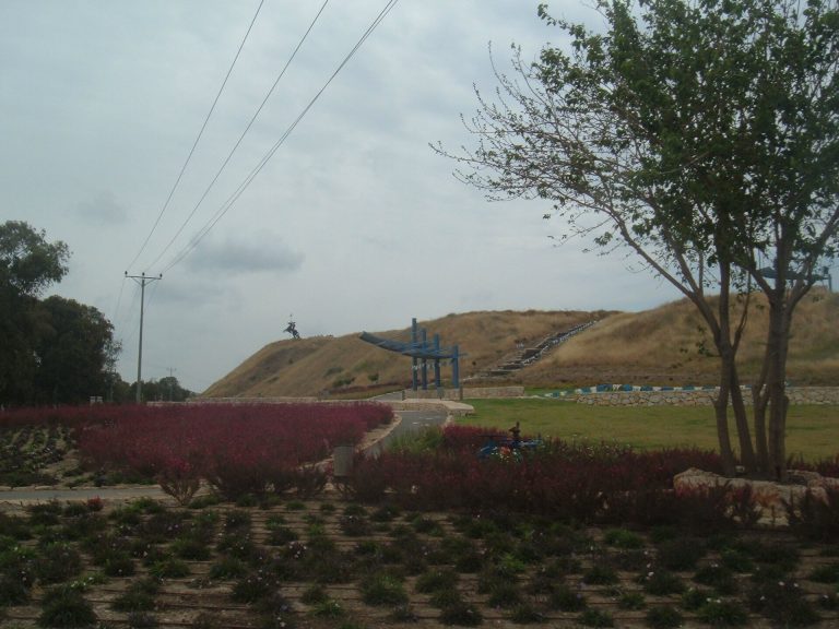
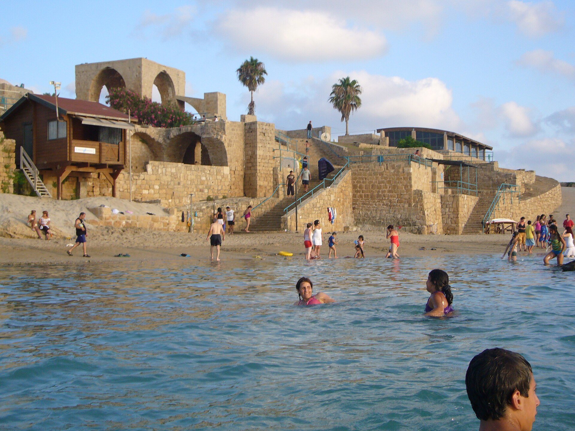
Ancient Achziv, known as Tel Achziv, occupies a sandstone mound between the Kziv stream to the north and the Shaal stream to the south, close to the Lebanese border. The Mediterranean lies beside the site, with an ancient port on the shore and a secondary port about 700 metres to the south. A tell is an archaeological mound created by successive settlements built on the same location. At Achziv, excavations have revealed remains ranging from the Bronze Age through the Roman period and the Early Middle Ages.
Bronze Age settlement and fortifications
Canaanite port city
During Middle Bronze Age IIA Phase N5, children were buried in storage jars beneath house floors. In the following Middle Bronze Age IIB Phase N4, Achziv formed part of a large Canaanite port city. Massive ramparts, about 4.5 metres high, protected both the inhabited city and a substantial area of port installations. The settlement extended north and south toward the two neighbouring streams. An artificial ditch connected the waterways and turned the settlement into an island.
Iron Age and Persian-period evidence
Public buildings and tombs with Phoenician inscriptions belonged to the Iron Age settlement. The cemeteries and associated finds indicate that Achziv had become a major trading city by this period and remained a prosperous urban centre during the Mishnaic period, the early rabbinic era associated with the compilation of the Mishnah in the late second or early third century CE. Inscriptions from the fifth and fourth centuries BCE provide evidence for continued Phoenician settlement under Persian rule.
A seal from the Phoenician cemetery carries the emblem of Tanit, a major goddess of Carthage and the wider Phoenician religious world, and dates to approximately 800–650 BCE. Storage jars found in storerooms adjoining the Crusader fortress rampart bear the Phoenician inscription “Adonimilk” and date to the sixth century BCE.
Cemeteries and archaeological investigations
Burial grounds
Cemetery excavations between 1941 and 1984 identified burial grounds on the tell, north of it beside the Kziv stream, east of the mound near Gesher HaZiv, and near the seashore. The graves produced material from the Bronze Age, Iron Age, Roman, Byzantine, Crusader, and medieval periods, including numerous objects associated with Phoenician culture. Further work in the southern cemetery between 1986 and 1988 uncovered previously unknown graves and additional Phoenician finds.
Excavated occupation layers
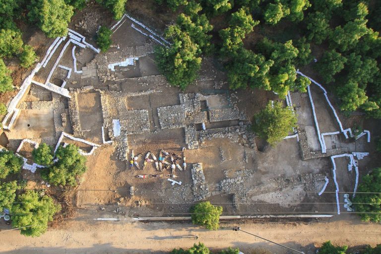
Excavations on the tell took place between 1941 and 1944 and again from 1959 to 1964, investigating the successive occupations of the site. Work in 1963 and 1964 exposed the Crusader fortress together with portions of the Bronze Age city fortifications. The range of remains provides a physical record of Achziv’s changing functions as a port, fortified settlement, road station, and estate centre.
Crusader, Ottoman, and modern remains
Fortress and village fabric
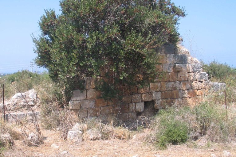
The Crusader fortress, known as Casale Umberti or by related names, has been identified through excavation. Agricultural structures and cemeteries were associated with the fortress and the wider estate. During the later Mamluk and Ottoman periods, the Arab village of Az-Zeeb occupied the ancient mound, and its houses were built partly with stones taken from the destroyed Crusader castle.
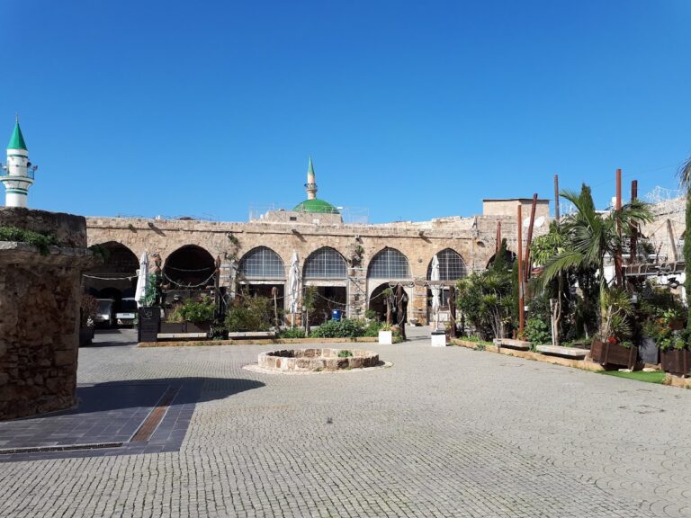
By the late nineteenth century, most village houses were built of stone. The surviving domed mosque has been restored and serves as a visitor site, while the former home of the last mukhtar, or village headman, has been converted into a museum. The former village remains also include a monument to the 14 fighters killed during the 1946 bridge operation. Nearby, Yechiel Shemi’s coastal work “Sea Sculpture” stands beside the bridge.
Coastal protected area
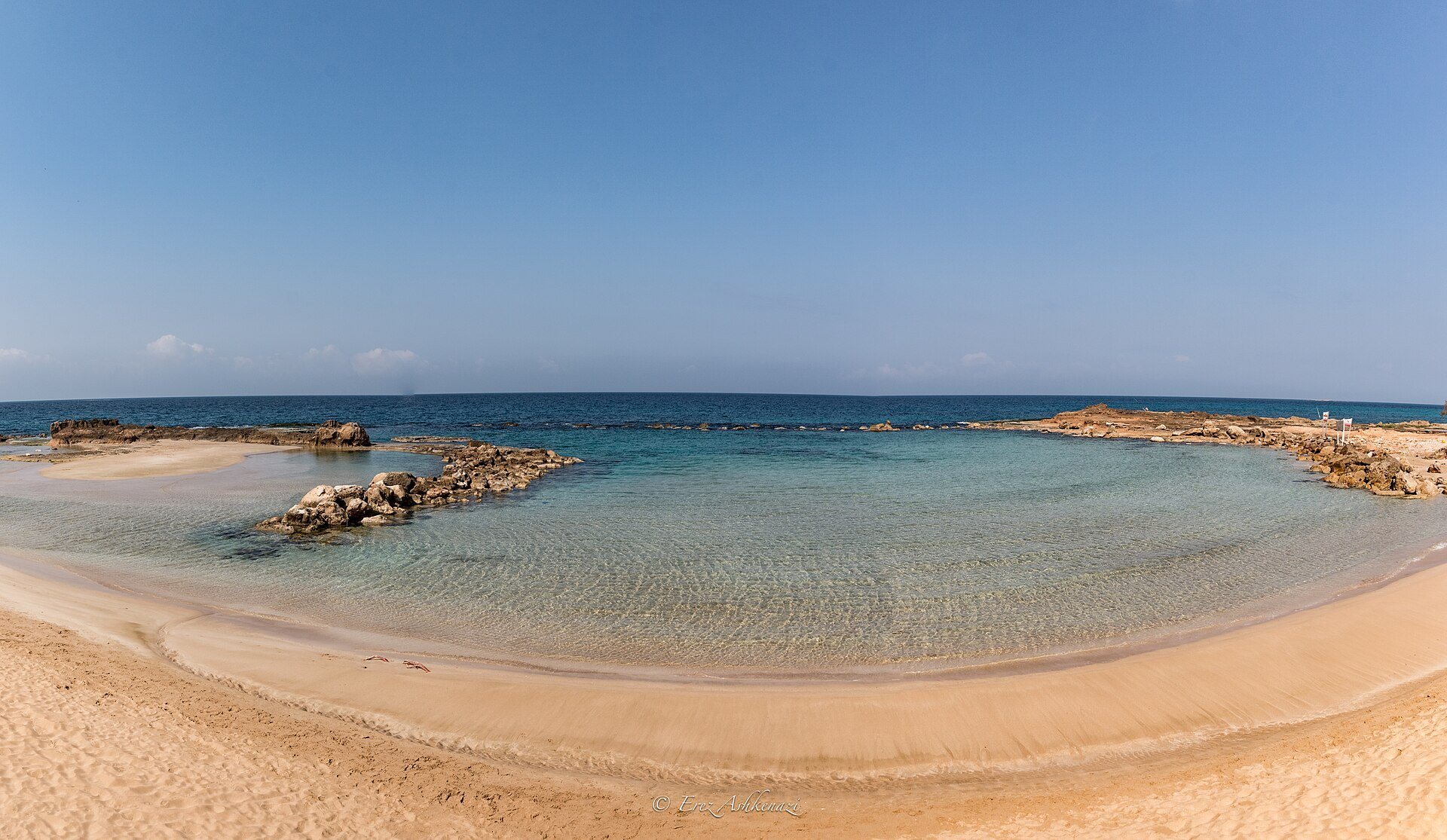
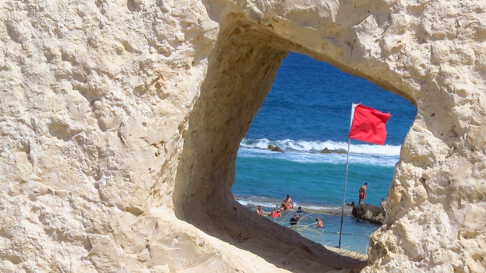
The Achziv–Rosh HaNikra marine protected area includes approximately seven kilometres of coastline and extends about 15 kilometres westward into the sea. It protects rocky reefs and sandy beaches, with a maximum depth exceeding 850 metres. The protected coastal setting forms part of the wider physical landscape in which the ancient port, settlement mound, streams, and burial grounds developed.