Qasr al-Yahud: A Historic Christian Baptism Site on the Jordan River
Site at a Glance
- Rating
- 4.6
- Popularity
- Medium
- Country
- Israel
- Primary era
- Medieval
- Eras represented
- Medieval, Modern
- Civilizations
- Byzantine
- Site type
- Religious
- Remains
- Sanctuary
On this page13 sections
History
Qasr al-Yahud is a traditional Christian pilgrimage and baptism site on the western bank of the Jordan River, southeast of Jericho in the area administered by Israel. Christian tradition identifies it with the baptism of Jesus by John the Baptist, while Jewish and biblical traditions associate the area with the Israelites’ crossing of the Jordan into the Promised Land and Elijah’s ascent to heaven. The site has attracted pilgrims since Late Antiquity.
Byzantine origins and pilgrimage
The name Qasr al-Yahud means “the citadel of the Jews.” It originally referred to the nearby Greek Orthodox Monastery of St John the Baptist, whose castle-like form explains the reference to a citadel. The name later came to describe the wider western section of the baptism complex.
The site stood beside an ancient road and river crossing connecting Jerusalem and Jericho with destinations east of the Jordan, including Madaba, Mount Nebo, and the King’s Highway. The sixth-century Madaba Map identifies a western-bank location as Bethabara and links it with John the Baptist. Evidence from the same period also indicates that the eastern bank continued to be associated with the baptism of Jesus.
The first Church of St John the Baptist was built during the Byzantine period, probably in the late fifth or early sixth century. The western-bank tradition gained importance partly because the route from Jerusalem and Bethlehem was more accessible than the journey to the eastern bank, where travel could be dangerous. The Byzantine emperor Justinian I was associated with the construction of a cistern at the site around the sixth century.
Medieval rebuilding and Ottoman decline
A twelfth-century account attributed a castle beside the monastery and baptism site to the Templars, a medieval military-religious order that protected pilgrims and defended routes to the Holy Land. No remains of that castle have been identified. The monastery was rebuilt under the Byzantine emperor Manuel I Komnenos in the twelfth century, and monasteries and guesthouses established along the western bank gave the area the name “Land of the Monasteries.”
During the Ottoman period, baptism in the Jordan became increasingly restricted to Eastern Christian communities. Ottoman authorities supported baptism ceremonies on the eastern bank, and the monasteries on the western bank were gradually abandoned. The present monastery was built in 1882 and restored in 1955. Parts of the earlier Byzantine complex, including sections of the monastery gate and crypt, survived.
Renewed churches and twentieth-century closure
During the British Mandate, land along the Jordan was sold to different churches for £10 per plot. This encouraged renewed pilgrimage and the construction of additional monasteries and churches. Eight church plots were established alongside the long-established Greek Orthodox monastery and church. Communities represented at the site included Greek Orthodox, Catholic and Franciscan, Armenian, Syriac Orthodox, Coptic, Russian Orthodox, Ethiopian Orthodox, and Romanian Orthodox churches. The Franciscan Custody of the Holy Land, the institution supporting Franciscan communities and religious sites in the region, established chapels east of the Greek Orthodox monastery, while other churches were built farther south along the river.
The buildings deteriorated after the 1956 earthquake. Following the Six-Day War in 1967, Israel took control of the monastery area, its residents left, and the site closed as a military zone because of attacks and military pursuits along the Jordanian border. A security fence and minefields were installed, and the area became known as the “Land of Pursuits.” The closure redirected Christian pilgrims to Yardenit, a substitute baptism site south of the Sea of Galilee established in 1981.
Reopening and mine clearance
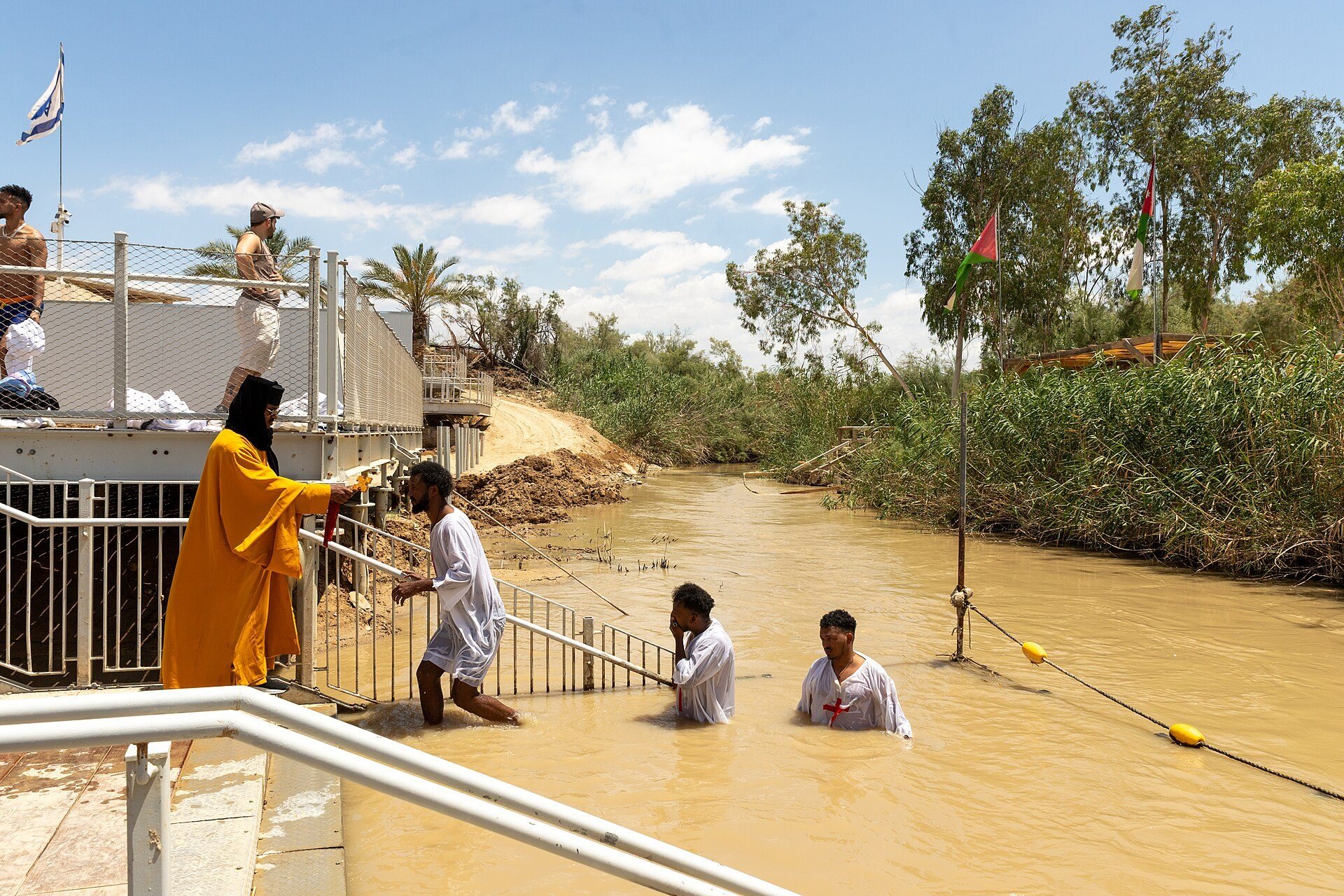
Baptism ceremonies resumed during the 1980s after a request from the Greek Orthodox Patriarchate, and other Christian communities gradually returned. The Greek Orthodox Church celebrates Epiphany at Qasr al-Yahud on January 18. Epiphany is a major Christian feast associated in Eastern Christianity with the blessing of water and the baptism of Jesus. The church also holds another Greek Orthodox mass several days before Easter.
Pope John Paul II held a private worship service at the site in 2000. Preparatory access and restoration works took place for the millennium celebrations, while more extensive repairs followed flooding in 2003, when the Jordan overflowed and damaged or swept away parts of the buildings. Access to the baptism site and the river reopened without prior coordination in 2011.
Mine clearance began in 2016 in cooperation with the national mine-clearance authority and the HALO Trust. By December 2018, mines had been removed from three of the seven mined monasteries, and further clearance continued in 2019 and later years. An additional minefield was cleared in May 2019, allowing the Romanian monastery to reopen the following month. By 2020, clearance also enabled the Franciscan Custody of the Holy Land to retake its monastery. Catholic, Greek Orthodox, Armenian, Coptic, Ethiopian, Romanian, Syriac, and Russian church compounds became accessible at different stages, although some minefields remained uncleared in 2022.
The wider baptism site was placed on Palestine’s UNESCO World Heritage tentative list in 2015. It is traditionally regarded as one of Christianity’s holiest places, alongside the Church of the Holy Sepulchre in Jerusalem and the Church of the Nativity in Bethlehem. The site remains in Area C of the West Bank, a zone under Israeli administrative and security control established by the Oslo II arrangements. The Israeli Civil Administration and the Israeli Ministry of Tourism administer it as part of a national park.
Remains
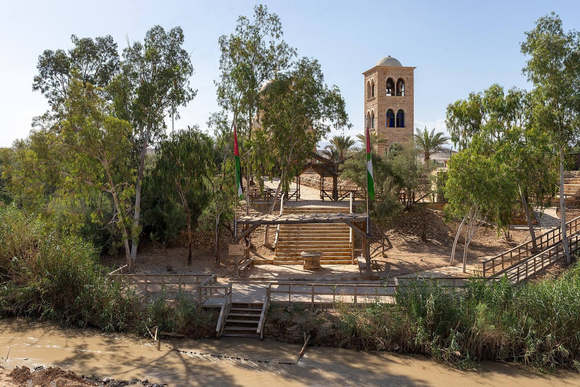
The complex occupies approximately 329 dunams belonging to the Greek Orthodox Church and extends along the western bank of the southern Jordan River. The baptism area lies about 10 kilometres east of Jericho and south of the Allenby Bridge. The former monastery and baptism area stand near the ancient road and ford, a shallow place where people could cross the river. The traditional baptism point is beside the Jordan, while the church compounds extend westward along paths descending towards the water.
Monastery and baptism area
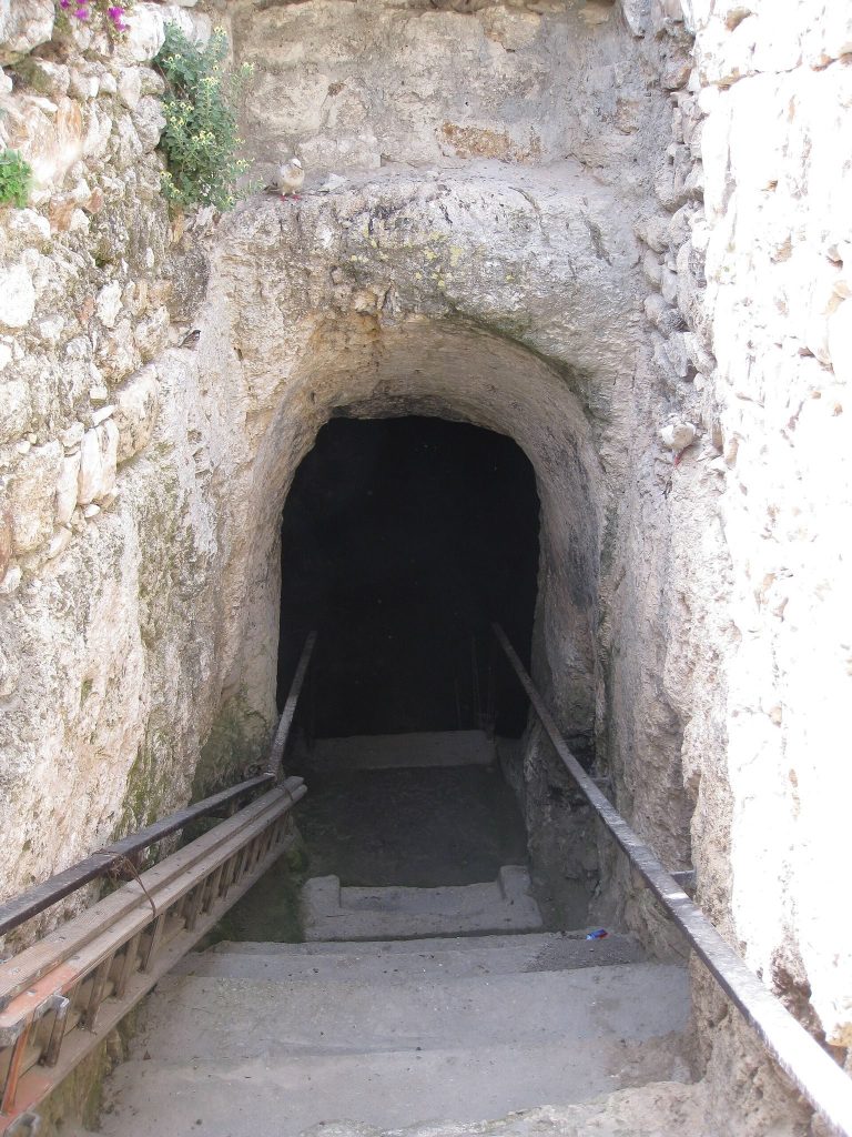
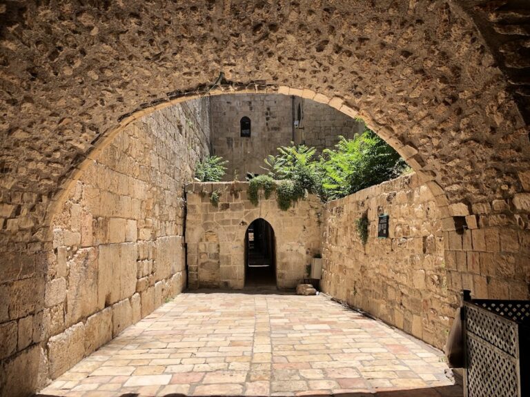
The Greek Orthodox Church of St John the Baptist is a fortified, castle-like structure on elevated ground. Its defensive form and high position provided relative security, while its rooms also served as a guesthouse for pilgrims. The earliest foundation dates to the late fifth or early sixth century, and the foundations of the building used today were constructed in the twelfth century. Renovation took place during the 1950s. Parts of the earlier complex remain at the monastery gate and in the crypt, a partly underground chamber associated with a church. A cistern attributed to Justinian I was still described in 1883 as visible and almost perfectly preserved.
The Jordan River remains the setting for baptism and baptismal remembrance ceremonies. Orthodox pilgrims immerse themselves in the water during Epiphany, while Christians from other denominations often collect it in bottles as blessed water. Water quality has also affected its use. Testing in November 2013 recorded 2,300 coliform bacteria per 100 millilitres, compared with an Israeli bathing-water limit of 190 per 100 millilitres.
Church compounds along the southern path
The church plots established during the British Mandate were arranged along a path branching south from the main road to the Jordan. The northernmost Greek Orthodox plot lies north of the road descending to the baptism site and contains little beyond infrastructure for a chapel, since the Greek Orthodox Church already held the Monastery of St John the Baptist.
Catholic Franciscan compound
Immediately south of the Greek Orthodox plot is the Catholic Franciscan compound. Mine clearance allowed it to be enclosed by a fence with a prominent entrance gate. A chapel stands at its centre, with an accessible ground floor and two side staircases leading to the roof. A former water tower in the courtyard was demolished during the clearance project.
Armenian and Syriac Orthodox compounds
The Armenian plot lies west of the southern path, beyond the Greek Orthodox and Franciscan compounds. The Armenian Church did not exercise its right to build there, and the plot had not been cleared of mines. Farther south, the Syriac Orthodox compound is enclosed by a fence and contains a prominent central building. In 2022 it had not been cleared and was closed to visitors.
Coptic and Russian Orthodox plots
The Coptic plot lies south of the Syriac compound and west of the path. It is largely vacant apart from an entrance gate and several adjoining buildings. In 2022 it remained uncleared and inaccessible. South of it, the Russian Orthodox plot lies east of the path and is centred on a chapel. Pilgrims formerly stayed there in tents. The plot had not been cleared of mines in 2022 and was closed to visitors.
Ethiopian and Romanian Orthodox compounds
The Ethiopian Orthodox plot lies east of the path south of the Russian compound. It contains numerous buildings, including a church built in 1934 and residential buildings for pilgrims. Mine clearance made the compound accessible. South of it, the Romanian Orthodox plot contains a small church and a two-storey residential building. During the years of closure, an Israeli military shell struck the church and destroyed large sections of it. Mine clearance later enabled the plot to reopen.
Additional structures
A nearby abandoned military post was converted into a habitat for insect-eating bats. A camera and an external display allow the bats to be observed without disturbing them.