Caus Castle: A Historic Norman Motte-and-Bailey in Shrewsbury, UK
Visitor Information
Google Rating: 3.7
Popularity: Very Low
Official Website: www.castlewales.com
Country: United Kingdom
Civilization: Celtic, Medieval European
Site type: Military
Remains: Castle
History
Caus Castle is located near Westbury in Shrewsbury, United Kingdom. The site originated as an Iron Age hillfort before becoming a Norman motte-and-bailey castle, constructed within the late 11th century by Roger le Corbet. Roger was granted the Barony of Caus in 1069 by William the Conqueror as a reward for his participation in the Norman Conquest. The castle was strategically positioned to oversee the route connecting Shrewsbury and Montgomery along the England-Wales border.
During the 12th century, the Corbet family held the castle as vassals under Roger de Montgomery, Earl of Shrewsbury, helping to secure the Welsh Marches. The significance of Caus Castle is underscored by King Henry II stationing troops there in 1165. In 1198, Roger Corbet undertook substantial improvements, reconstructing the tower, keep, and curtain wall in stone. By the late 12th century, the surrounding borough featured a church dedicated to St Margaret, complementing the castle’s own church of St Nicholas. Additional fortifications, including distinctive D-shaped towers on the curtain wall, were funded by a royal grant of 50 marks in 1263.
Following the death of Beatrice Corbet in 1347, ownership passed to the Earl of Stafford. In 1349, during the devastating arrival of the Black Death, the borough contained 58 burgesses, reflecting a still-flourishing community. In the 15th century, Caus Castle played a role in the conflicts involving Welsh rebellion. Seneschal Griffith ap Ieuan ap Madoc ap Gwenwys initially defended the castle against Owain Glyndŵr’s uprising but later switched loyalty to Glyndŵr. As a result, his lands were forfeited in 1404 but were restored in 1419 by Henry V after his sons captured the rebel leader John Oldcastle.
A significant episode in the castle’s later history involved Sir Gruffudd Vychan, who killed Sir Christopher Talbot there in 1443. This act led to Vychan being outlawed and his lands passing to John Sutton, 1st Baron Dudley. By the 16th century, the castle was in decline; records from 1541 note only two tenants. Despite this, Henry Stafford, 1st Baron Stafford, died at the castle in 1563. Ownership later transferred through a marriage settlement to John Thynne and Joan Hayward. Joan managed the estate and is noted for defending the castle personally, even storing arms in her bedroom. A wooden screen dating from the 15th century, originally from Caus Castle, was preserved and moved to Minsterley Hall, which the Thynne family built in 1581.
Caus Castle’s final decline came during the English Civil War when it served as a minor Royalist garrison. It was taken and destroyed in June 1645, after which it was abandoned. Later, the castle is associated with the birth of Katherine Lowther in 1653, daughter of Sir Henry Thynne, linking its history to notable families in the post-war period.
Remains
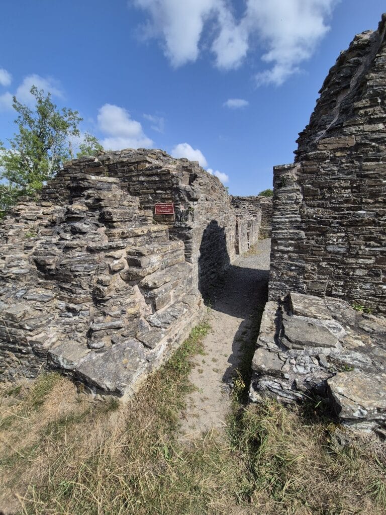
Caus Castle occupies the eastern foothills of the Long Mountain at about 223 meters above sea level, utilizing the natural elevation to command the surrounding landscape. The site preserves remnants of its early phases as an Iron Age hillfort and later as a Norman motte-and-bailey fortress. The original motte was an artificially raised mound with a small summit designed to support a tower, while an inner bailey was securely fortified around it.
The stone rebuild undertaken in 1198 replaced earlier timber defenses, forming a tower, keep, and a surrounding curtain wall that enclosed the inner bailey. Further improvements funded by a royal grant in 1263 added D-shaped towers along the curtain wall, enhancing its defensive capabilities. These curving projections allowed defenders better angles to guard the castle walls.
The castle complex included two religious buildings: the church of St Nicholas situated within the castle walls and a separate church dedicated to St Margaret located in the adjacent borough within the outer bailey. This borough was a planned settlement featuring streets such as Castle Street and St Margaret Street, indicating a structured layout supporting the castle community.
By the early 16th century, the castle showed clear signs of deterioration, and it was largely unoccupied except for a few tenants by 1541. Despite its ruinous state, one element of its interior decoration survived—a 15th-century wooden screen—which was transferred to Minsterley Hall during the late 16th century.
Today, the physical remains offer insights into a layered history of Iron Age origins, Norman military architecture, and medieval community development. The castle sits within a landscape shaped by natural hills rising to 277 meters nearby and experiences a cool coastal climate, factors that influenced its strategic placement and enduring significance until its destruction in the 17th century.
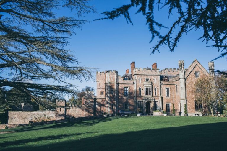
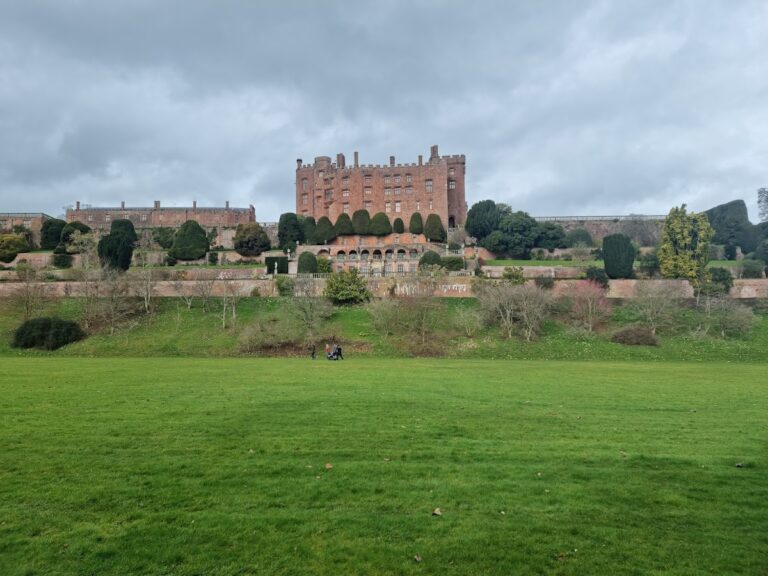
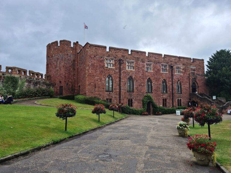
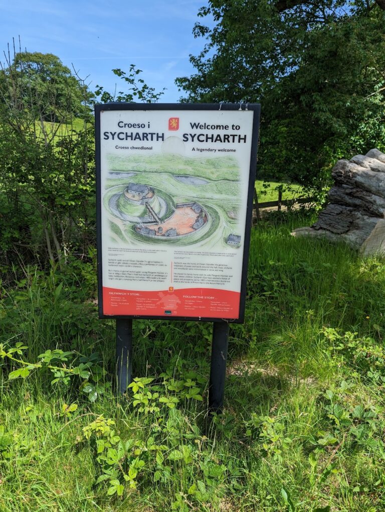
Nearby sites