Celtic Sites: Explore Hillforts, Fortified Towns and Iron Age Settlements
Celtic sites in this collection include large fortified towns, hilltop settlements and stone enclosures. Their remains range from successive earth-and-timber ramparts to excavated houses, workshops and underground stores. Examples in France, Germany and Ireland show how builders used ridges, cliffs and mountain slopes to protect places where people lived, worked and kept supplies.
Many settlements continued into the Roman period, when houses and public buildings changed. Their articles distinguish those later additions from Iron Age defences and occupation, as well as identifying modern reconstructions of gates and walls.
Primary Function: All
Type: All
Country: All
Popularity: All
Rating: All

The Gallo-Roman Museum Tongeren traces the history of Tongeren and Limburg through archaeology, from Neanderthal communities and early farmers to the…
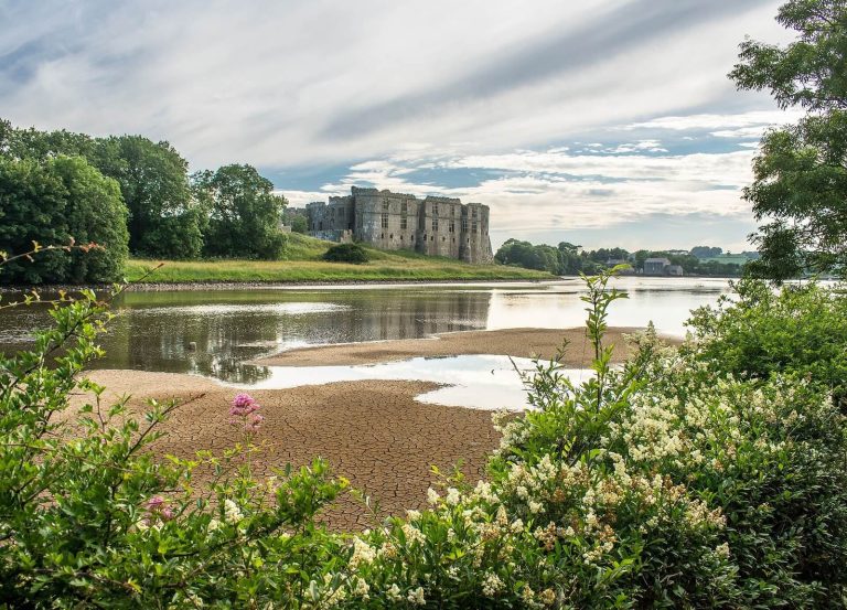
Carew Castle in Pembrokeshire developed from an early fortified site into a medieval stronghold and later an elaborate Tudor and Elizabethan…
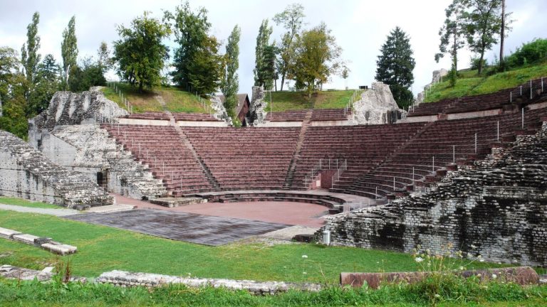
Augusta Raurica was a Roman settlement founded in the territory of the Celtic Rauraci near Augst, Switzerland. Its remains reveal urban planning,…
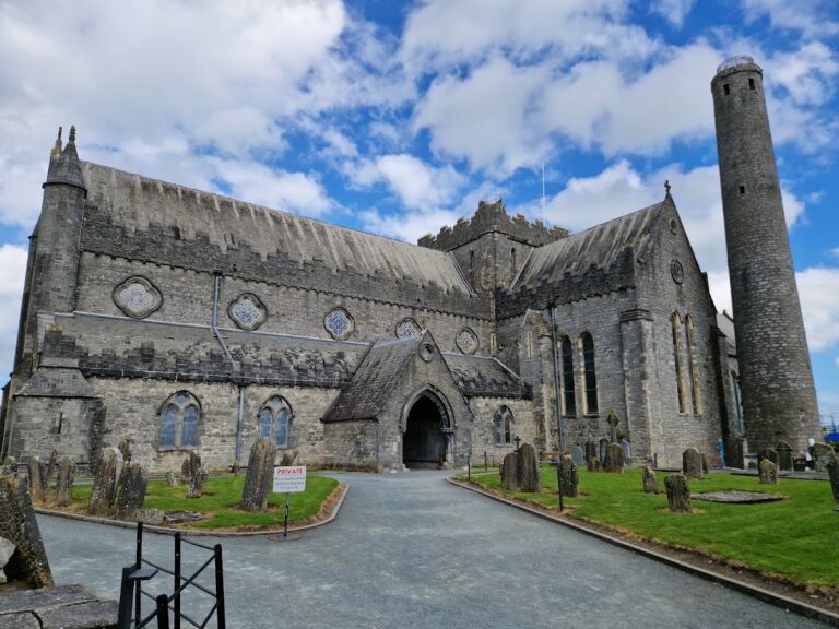
Saint Canice's Cathedral in Kilkenny developed from a sixth-century Christian foundation into a medieval cathedral of the Diocese of Ossory. Its…
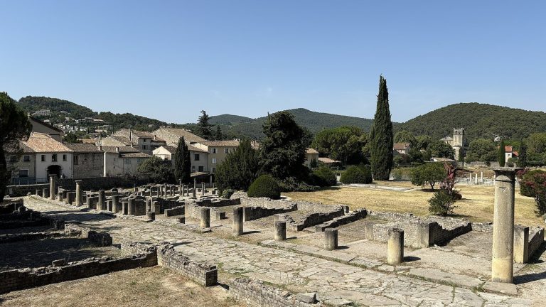
Vaison-la-Romaine preserves parts of Vasio Vocontiorum, a Celtic and Roman city that developed into one of the wealthiest urban centers of Gallia…
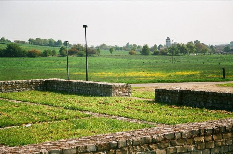
Archaeological Park Roman Villa Borg preserves and reconstructs a Roman rural estate near Perl in Saarland, revealing successive prehistoric and…
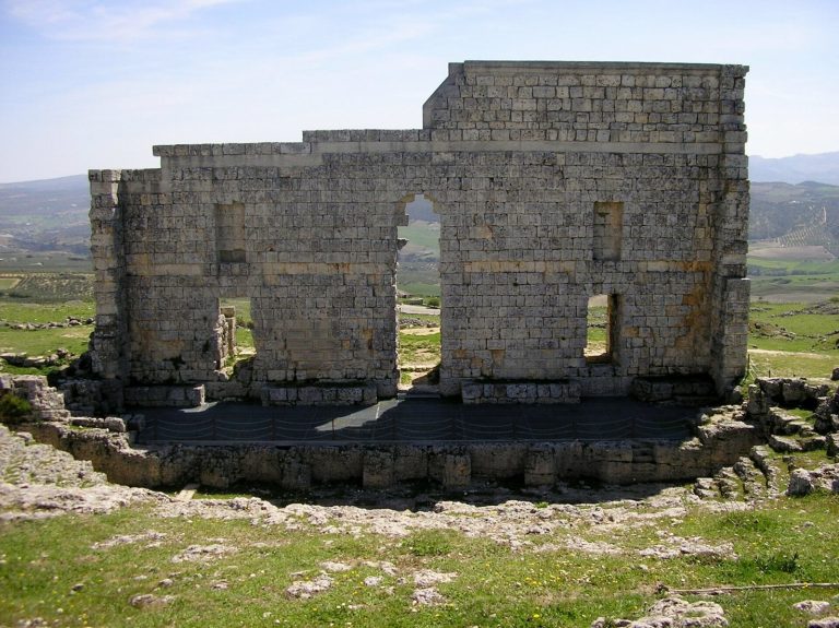
Acinipo was an ancient settlement near Ronda occupied from the Neolithic period and enlarged during the Roman era. Its theater, baths, terraces,…
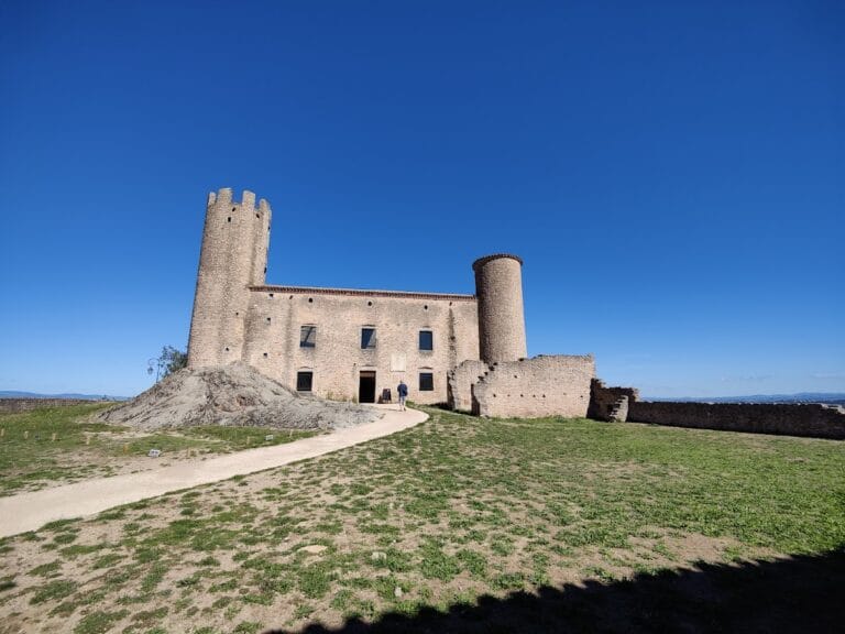
Château d'Essalois occupies a strategic Loire landscape shaped by an ancient Gallic oppidum, a medieval watchtower, a sixteenth-century rebuilding,…
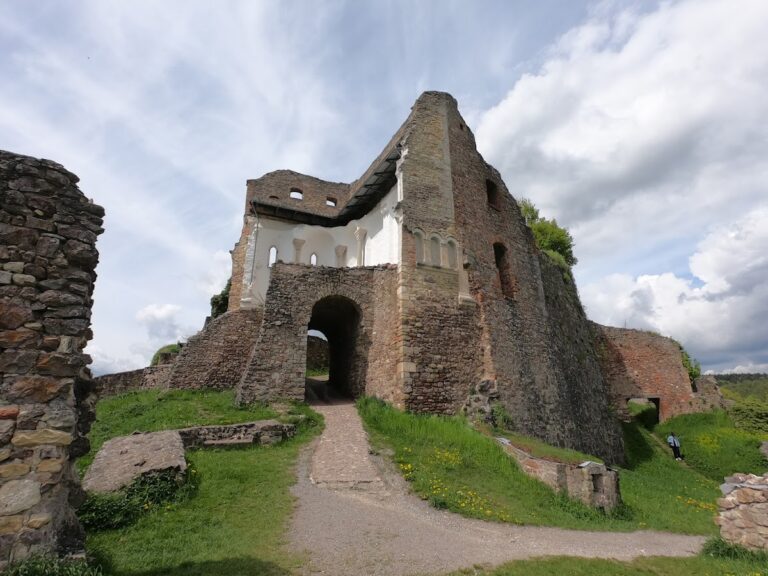
Donaustauf Castle is a ruined medieval hill castle above the Danube, shaped by the Bishopric of Regensburg, Bavarian rulers, the Bohemian Crown, and…
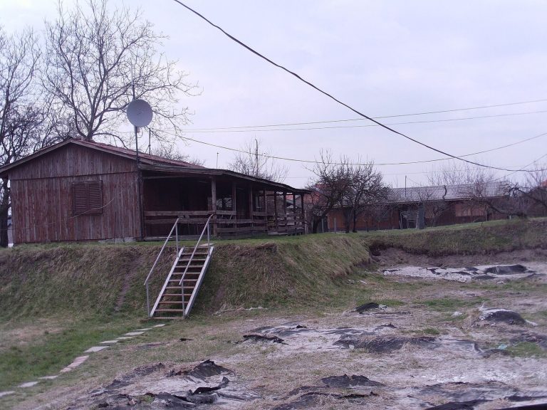
Vinča-Belo Brdo in Serbia is a major prehistoric settlement on the Danube, occupied from the Early Neolithic into the Bronze Age and later used as a…
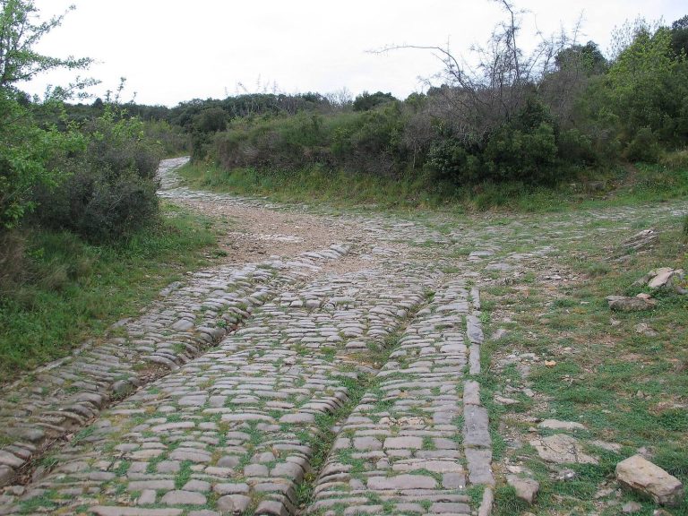
Ambrussum preserves the remains of a Celtic fortified settlement, a Roman town, a roadside station, and the Pont Ambroix crossing of the Via Domitia…
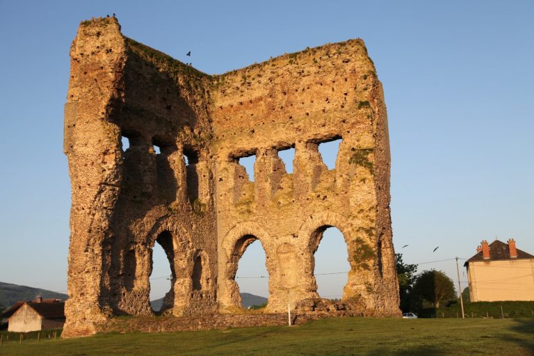
The Temple of Janus at La Genetoye formed part of a major peri-urban sanctuary outside Roman Autun. Its tall stone cella, later medieval reuse, and…
For details on how to use the maps, which sites are included, how popularity and ratings are determined, and how sites are classified, see the help page.
On this page5 sections
Fortified towns, houses and workshops
Bibracte occupies Mont Beuvray in France, where the Aedui developed a fortified town, or oppidum. Its successive defensive circuits enclosed a large area of the wooded summit. The ramparts combined timber frameworks with stone and earth; the reconstructed section at the Rebout Gate explains a construction system whose wooden components have largely disappeared.
Inside the enclosure, the Côme Chaudron and Champlain districts preserve the excavated remains of artisan housing and metalworking premises. Blacksmiths and bronze workers operated near the main entrance. Elsewhere, large stone houses with courtyards, drains and heated baths belong to the settlement’s adoption of Roman building forms during its final occupation. The town therefore contains evidence of both craft neighbourhoods and changing domestic architecture.
Hillside settlements and storage pits
The settlement at Ensérune, in southern France, developed on a long rocky plateau. Rows of rectangular stone houses followed the ridge, while retaining walls supported building terraces on the slopes. Its position brought local communities into contact with Iberian, Celtic and Mediterranean trading networks.
Rock-cut storage pits and large pottery containers set into the ground are prominent features among the house remains. They show how supplies were kept within a densely occupied settlement. Later, larger houses introduced columns and other Roman arrangements, so the exposed buildings represent successive changes rather than a single moment in the town’s history.
Hillfort ramparts, ditches and gateways
At Dünsberg in Germany, three defensive rings follow the slopes of a hill. Banks, ditches and entrances mark an enclosure that expanded through successive phases. Terraces inside the circuits accommodated occupation, while wood-lined springs supplied water. A modern reconstructed gate illustrates the appearance of an entrance; the much longer surviving earthworks establish the scale of the fortified settlement.
La Bure, in the Vosges, preserves a different view of rampart construction. Its sandstone defences were repeatedly rebuilt, with timber beams fastened by iron pins incorporated into the wall. Surviving masonry faces and the earth behind them expose parts of that combined structure. Later Roman-period rebuilding reused carved stone, adding another phase to the defences of the same promontory.
Cliffside and mountain enclosures
At Caisses de Jean-Jean near Mouriès, limestone cliffs bound a long basin. The principal approach was protected by two ramparts set apart along the accessible western end, while the surrounding rock reduced the need for a continuous wall on every side.
The main rampart grew through repeated additions, producing a broad mass of masonry rather than a single thin curtain. Towers, ditches and changes to the gateway strengthened the approach. The remains include a bent entrance arrangement introduced late in the settlement’s Iron Age occupation, forcing movement through a controlled passage before reaching the interior.
Caherconree in County Kerry occupies a high spur with steep drops on three sides. A long dry-stone wall closes the accessible side, enclosing the summit without surrounding it with a complete circuit of masonry. The wall’s inner face includes terraces and steps, providing access to its upper levels.
The fort’s precise date is uncertain, and parts of the wall have been restored. Its surviving layout nevertheless gives a clear example of a stone enclosure shaped around a mountain position, with the constructed barrier concentrated where the natural defences were weakest.
Explore the collection
Explore sites on the map or in the grid. Map icons reflect each site’s primary function, helping you identify different kinds of places at a glance. Narrow the results by country, primary function, site type or era, with additional filters for popularity and rating. Select a map marker to view the site’s details and open its article, or open the article from its grid entry.