Caherconree: An Iron Age Promontory Fort in Ireland


Site at a Glance
- Rating
- 4.5
- Popularity
- Very Low
- Country
- Ireland
- Primary era
- Iron Age
- Eras represented
- Iron Age
- Civilizations
- Celtic
- Site type
- Military
- Remains
- Fort
On this page5 sections
History
Caherconree is an Iron Age promontory fort in Ireland, set on the southwestern shoulder of the mountain of the same name in County Kerry. A promontory fort is a defended enclosure built on a projecting spur, using steep slopes or cliffs as part of its defenses. The site is a protected National Monument of Ireland, officially designated the Caherconree Promontory Fort, reference no. 184.
Name and legendary associations
Caherconree, also known as Cathair Conraoi, takes its name from the stone fort on the mountain. The meaning is “Cú Roí’s stone fort,” referring to Cú Roí mac Daire, the legendary king of Munster in Irish heroic tradition. Caherconree is traditionally described as his residence or stronghold and is regarded as one of County Kerry’s important mythological places.
Irish tradition says that the fort rotated at night, preventing attackers from discovering its entrance. Another story attributes its construction to Cú Roí in a single night. In Aided Con Roí, an Irish heroic tale about the death of Cú Roí, he takes Bláthnat to the fort against her will. Her lover, Cú Chulainn, eventually attacks after Bláthnat signals that the stronghold can be overcome by pouring milk into a nearby stream.
The same tradition says that Bláthnat persuaded Cú Roí to enlarge the fort by mocking it as too small for so great a chieftain. Cú Roí responded by dismantling parts of its walls. The stream connected with the story is identified as the Finglas, a name derived from Fhionnghlaise, meaning “white stream.” Its source lies near the fort.
Mythological interpretations
One interpretation gives Caherconree a strong cultic association and proposes that the fort may have been established for a sun god. This interpretation remains uncertain. Another Irish tradition, preserved in Echtra Airt Maic Cuinn, places at Caherconree the magic wand through which Conn of the Thousand Battles became “Lord of the World.” Nearby, the rock feature called Fin MacCool’s Chair takes its name from Fionn mac Cumhaill, another major figure of Irish mythology.
Remains
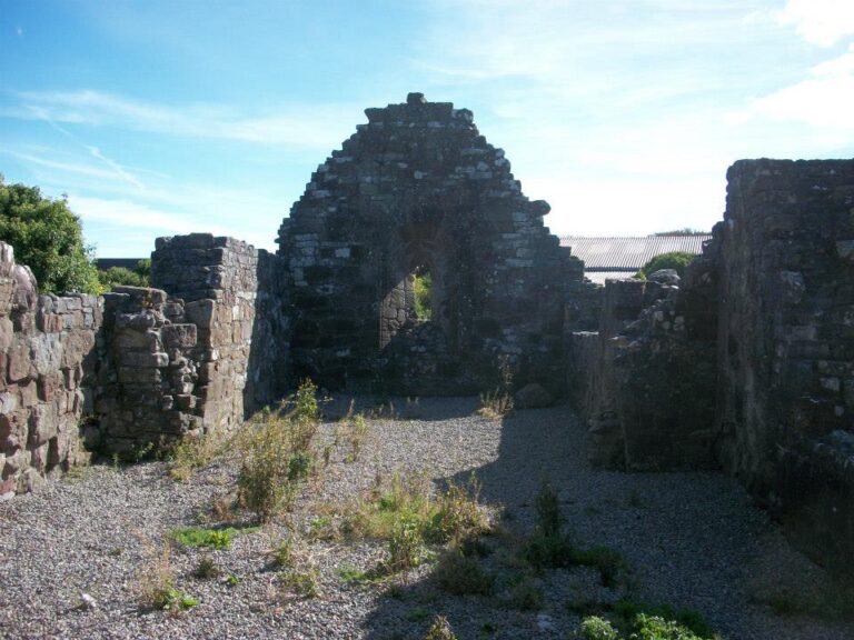
Caherconree stands at about 683 metres above sea level on a westward-projecting spur roughly two-thirds of the way up the mountain’s southwestern shoulder. The fort overlooks Bóthar na gCloch, or “road of the stones,” a north-south mountain road. Cliffs protect it on three sides, while a dry-stone wall encloses a roughly triangular area of about two morgen. A dry-stone wall uses no mortar, relying on the arrangement and weight of its stones for stability.
Fort and mountain setting
The enclosing wall is approximately 110 metres long. Before restoration, sections of its massive construction remained as much as three metres high. Three broad, terrace-like steps are formed along the inner face of the wall, giving the surviving enclosure a layered internal profile.
The fort occupies Caherconree, a mountain in the Slieve Mish Mountains at the eastern end of the Dingle Peninsula. The summit reaches 835 metres, with a prominence of 129 metres, and the mountain is formed of Aeolian sandstone, a rock created from wind-deposited sand. It forms part of a horseshoe of major peaks around the deeply glaciated Derrymore Glen and is linked eastward to Baurtregaum, the range’s highest peak at 851 metres, by a narrow ridge. Small glens lie on the mountain’s two slopes, while the Caherconree Fort Trail reaches the fort and continues to the summit.
Nearby sites