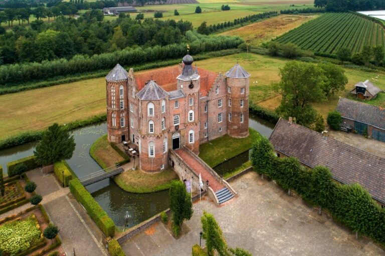
Cranendonck Castle: A Medieval Fortress and Estate in the Netherlands


Visitor Information
Google Rating: 4.4
Popularity: Very Low
Country: Netherlands
Civilization: Medieval European, Modern
Site type: Domestic
Remains: Elite Residence
History
Cranendonck Castle is located in the municipality of Cranendonck in the Netherlands. The site was originally developed by the medieval European nobility during the 13th century.
The origins of Cranendonck Castle date back to around 1250, when Engelbert van Horne established the initial fortification on land he had inherited in 1242. The castle took its name from the natural environment of the area, combining “kraan,” the Dutch word for crane—a migratory bird seen in the region—with “donk,” meaning a hill in a wet or marshy landscape. This reflects the local geography where the castle once stood, nestled between the villages of Maarheeze and Soerendonk.
Ownership of the lordship passed from Engelbert to his son Willem I van Cranendonck, who also governed Eindhoven. Over the centuries, the castle changed hands among several noble families, including the Van Sevenborn, Van Milberg, Van Schoonvorst, Van Horne, and Van Egmond lineages, illustrating the frequent transfer of territorial control common in medieval Europe. In 1551, Anne van Egmond, who was married to William of Orange, brought Cranendonck under the influence of the House of Orange. This connection lasted until the end of the Ancien Régime, the period before the French Revolution and the subsequent shifts in European governance. Today, the title Baron of Cranendonck remains with the reigning Dutch monarch, King Willem-Alexander.
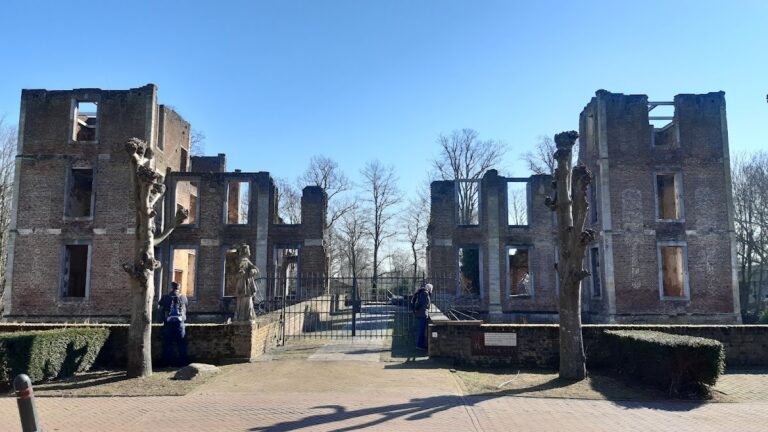
The lords seldom lived at the castle themselves, instead appointing a drossaard, a type of bailiff or steward, to manage the estate on their behalf. This official resided at the castle and oversaw its operations until 1673, when French troops destroyed the fortress during military campaigns in the region. After its destruction, the castle fell into disrepair and gradually became a ruin.
Despite this decline, the estate remained part of the House of Orange’s holdings until the abolition of feudal rights around 1798, a result of political reforms sweeping Europe at the time. In 1814, following the formal establishment of the Kingdom of the Netherlands, the property became royal possession. By 1820, it had passed into private ownership.
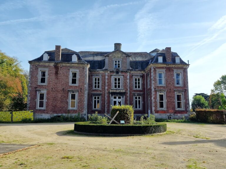
At the end of the 19th century, significant changes transformed the site. The farm connected to the original castle was demolished in 1899 and replaced with a villa constructed in its place. During the early 20th century, this villa was enhanced with the addition of a turret, lending it a castellated appearance reminiscent of the earlier medieval fortress.
In 1938, the municipality of Maarheeze acquired the estate, converting the villa into a town hall. This role continued until 1997, when Maarheeze merged into the larger municipality of Cranendonck. Following the merger, the building found new uses, notably as a venue for weddings, and briefly served again as a town hall between 2013 and 2014.
Archaeological research into the medieval castle was carried out in 1996 on land slightly to the east of the existing villa, near the Buulder Aa stream. These investigations allowed experts to trace and mark the castle’s original layout by 2008, helping to preserve knowledge of the site’s historical footprint despite the absence of the castle itself today.
Surrounding the site, a protected landscape park encompassing around 400 hectares has been developed. It features natural and cultural elements that encourage outdoor activities such as cycling, walking, and mountain biking, all rooted around the heritage of the castle grounds.
Remains
Archaeological studies at the site have revealed the outline of the medieval Cranendonck Castle, which no longer stands above ground. The original fortress was positioned near the Buulder Aa stream, on slightly raised terrain typical for defensive constructions in watery landscapes.
Excavations conducted in 1996 allowed researchers to map the castle’s contours precisely. These measurements were later used in 2008 to mark the castle’s footprint, providing a visible reference to its former extent and shape. The site is recognized primarily through this marked outline, as no substantial above-ground remains survive.
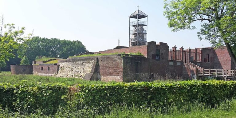
The current building on the estate is a villa erected at the end of the 19th century on the location where the castle’s farm once stood. This villa incorporates features such as a turret, added in the early 20th century, which gives the structure a castle-like silhouette but does not date from the medieval period.
The villa and its associated estate buildings have served various administrative and social functions over the 20th and early 21st centuries but are not themselves medieval constructions. The nearby archaeological site preserves the memory of the original castle through its marked boundaries, set within a landscape that is carefully managed to integrate historical preservation with environmental protection.
No detailed architectural elements, such as gatehouses, staircases, or decorative features, have been documented from the medieval castle site. Similarly, there have been no specific records of artifacts such as tools or religious objects uncovered in the excavations that would further illustrate the castle’s fabric or daily use.
Today, the medieval castle’s footprint remains an important historic reminder, situated within a broader protected area that promotes small-scale cultural and natural development aligned with the site’s heritage. Walking and cycling routes originating from the estate help connect visitors to this layered history embedded in the fabric of the Dutch countryside.
Nearby sites