Castillo de Montemayor: An Andalusi Fortification in Spain
Site at a Glance
- Rating
- 4.4
- Popularity
- Low
- Country
- Spain
- Primary era
- Medieval
- External website
- Open
- Eras represented
- Medieval
- Civilizations
- Unclassified
- Site type
- Military
- Remains
- Castle
On this page11 sections
History
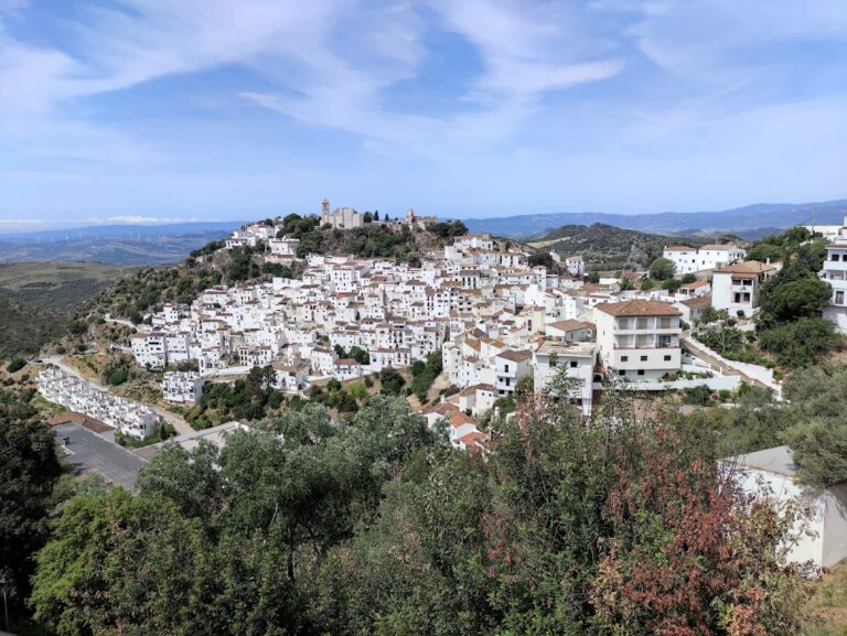
Castillo de Montemayor is the remains of an Andalusi fortification in Spain, in the municipality of Benahavís, Málaga Province, whose defensive and surveillance role lasted from the eighth to the fifteenth centuries. It occupied a strategically elevated position above a rural settlement and later became involved in the political and military struggles that shaped medieval southern Iberia.
Early Andalusi connections
The fortress may have existed during the emirate period, when al-Andalus was governed as an emirate, particularly under the Umayyad rulers of Córdoba, or perhaps even earlier. Roman coins from the mints of Gades and Carteia found at the site indicate activity in the area before the medieval fortress, although they do not establish when its fortifications began.
During its early phase, Montemayor was closely connected with Bobastro, the fortified settlement associated with Umar ibn Hafsun’s revolt against the Umayyad emirate of Córdoba. After Bobastro fell, Montemayor came under Marbella. Its importance later declined, and Arab authors did not mention it again until the Nasrid period, when the fortress was associated with Marbella. The Nasrids ruled the Emirate of Granada from the thirteenth to the fifteenth century.
The earliest written reference appears in Ibn Hayyan’s al-Muqtabis V, a tenth-century historical work. It describes Montemayor as a place where Umar ibn Hafsun kept equipment and well-stocked storehouses. This points to a role in the Mozarab resistance, involving Christians living under Muslim rule who had adopted elements of Andalusi language and culture. The interpretation has also been linked to the Latin-derived place-name rendered as Munt Mayur in contemporary Arabic texts.
Regional conflicts and later medieval rule
The tenth-century chronicler al-Razi called Montemayor “the strongest and highest castle” in the territory of Rayya. The fortress stood on the boundary between the districts of Rayya and Takurunna, giving it a role in the control and observation of a frontier zone.
Montemayor became involved in the eleventh-century conflicts between the Idrisid taifa of Málaga and the Hammudid taifa of Algeciras. A taifa was an independent or semi-independent Muslim kingdom that emerged after the weakening of central Umayyad authority. In the Nasrid period, Ibn al-Khatib, a writer and statesman of the Nasrid court in Granada, stated that an important Hammudid poet and vizier was buried at Hisn al-Ward, possibly the settlement of La Romera, beside Hisn Munt Mayur.
A fourteenth-century Maghrebi work, the anonymous Dikr Bilad al-Andalus, states that “in Montemayor of the district of Málaga there is the ruby, although it is small.” The meaning of this reference and the object to which it refers are not clarified.
Castilian conquest and modern military reuse
The fortress surrendered to the Castilians in 1485, after the fall of Ronda. It was then permanently depopulated. In 1568, Moriscos from the Sierra Bermeja who had rebelled reused the castle as a defensive refuge. Moriscos were Muslims who had been converted to Christianity, often under pressure, after the Christian conquest of Islamic territories.
Castillo de Montemayor regained military importance in the nineteenth century during the Peninsular War, the Iberian phase of the conflict between Napoleonic France and its opponents. The fortress is protected under the general heritage declaration of 22 April 1949 and Spain’s Historical Heritage Law 16/1985. It is recorded as an Asset of Cultural Interest, with the formal declaration dated 29 June 1985.
Remains
Mountain setting and defensive enclosures
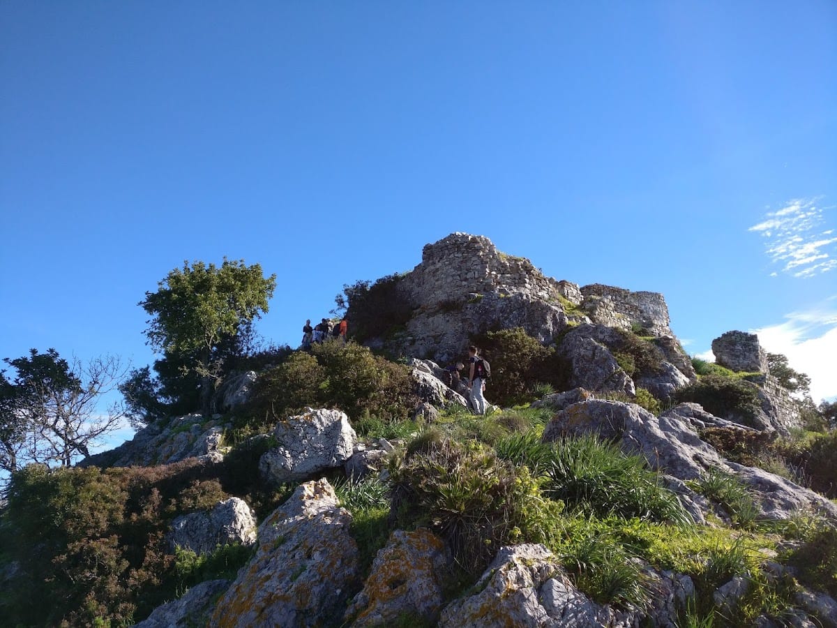
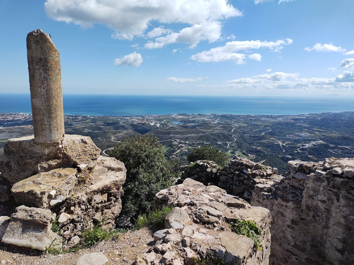
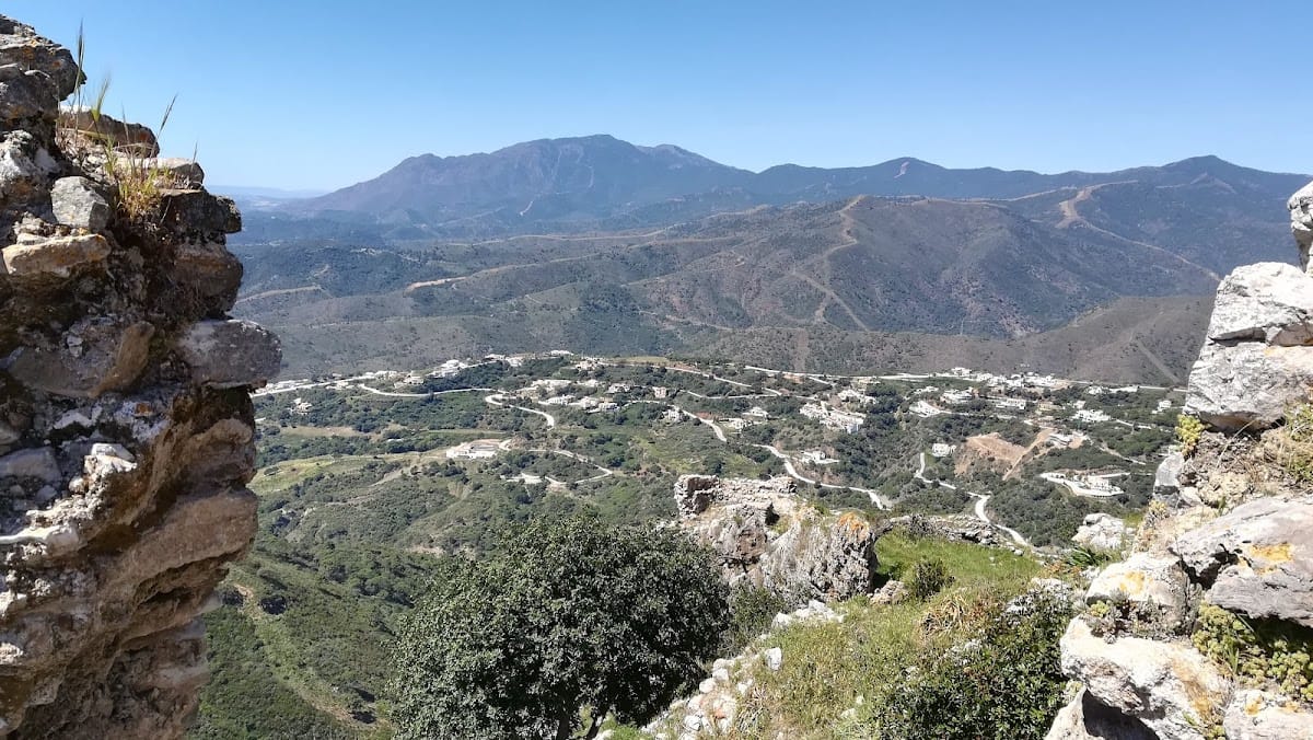
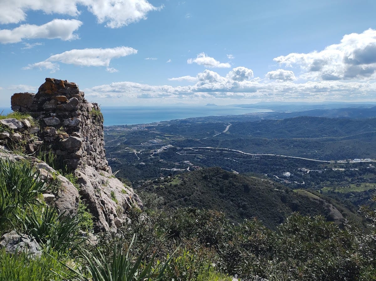
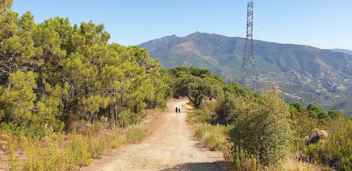
Castillo de Montemayor occupies the summit of a sharply profiled, pyramid-shaped mountain at 579 metres above sea level. The mountain lies near the Sierra Palmitera, an outlying range of Sierra Bermeja, in the coastal foothills of the Serranía de Ronda. The site stands on the watershed between the Guadalmansa River to the west and the Guadalmina River to the east. Nearby peaks include Encinetas, at 1,473 metres, and Castillejo de los Negros, at 1,372 metres. This elevated position provided extensive views and natural protection, with the Strait of Gibraltar and the North African coast visible on clear days.
The fortress had as many as three concentric walled enclosures, of which the two innermost are best preserved. Their arrangement has been compared with that of Archidona Castle. The walls were made entirely of rubble masonry and strengthened with small prismatic towers. Later additions changed two towers into semicylindrical forms, while another had a trapezoidal plan.
Outer enclosure
The outer enclosure consisted of masonry wall sections supported by square towers. It retains two gates, a larger entrance facing east and a second facing south. Parts of the outer wall and some of its square towers have disappeared. In the main enclosure, elements linking it with the second enclosure have collapsed, while the surviving remains still allow the general plan of the fortress to be reconstructed.
Interior spaces and water storage
Habitation spaces
Within the enclosures are the remains of habitation spaces. These surviving interior elements form part of the evidence for the fortress’s internal organization and help define the arrangement of the wider plan.
Cisterns
Three partly preserved cisterns remain inside the fortress. A cistern is a structure used to store rainwater or other water supplies. Their interiors were coated with hydraulic plaster tinted with red ochre, and their corners were reinforced. One cistern preserves the springing of the barrel vault that covered it, a continuous tunnel-like vault formed by extending an arch along its length.
One cistern, located inside a tower, is divided into two compartments, one rectangular and the other trapezoidal. The compartments lie at different elevations and are connected by an intermediate window. The other two cisterns are rectangular and vaulted. Together, these installations show how water storage was incorporated into the fortress’s defensive architecture.
Archaeological evidence and visual communications
Ceramic fragments dating from the tenth to the fourteenth centuries have been found at Montemayor, although they are not frequent. Roman coins from Gades and Carteia provide evidence for earlier activity at the site. The fortress also maintained direct visual communication with other coastal observation and defense points, including the Andalusi watchtower at Castillejo de los Negros in the Sierra Palmitera and Castillo del Nicio near Estepona.