Mycenaean Sites: Explore Citadel Walls, Palaces and a Bronze Age Bridge
Mycenaean construction survives most visibly in the massive walls of mainland Greek citadels. The collection also includes palace remains, a stone bridge and museums holding Bronze Age material. These places preserve different parts of the world of the later second millennium BC, often beneath buildings and settlements of subsequent periods.
Primary Function: All
Type: All
Country: All
Popularity: All
Rating: All
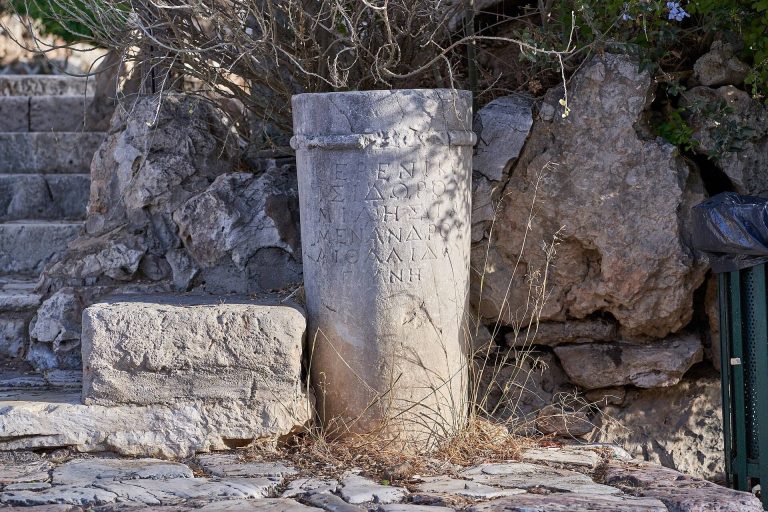
Ancient Athens developed around the Acropolis from prehistoric settlement into a major Greek city-state, Roman cultural centre, and layered…
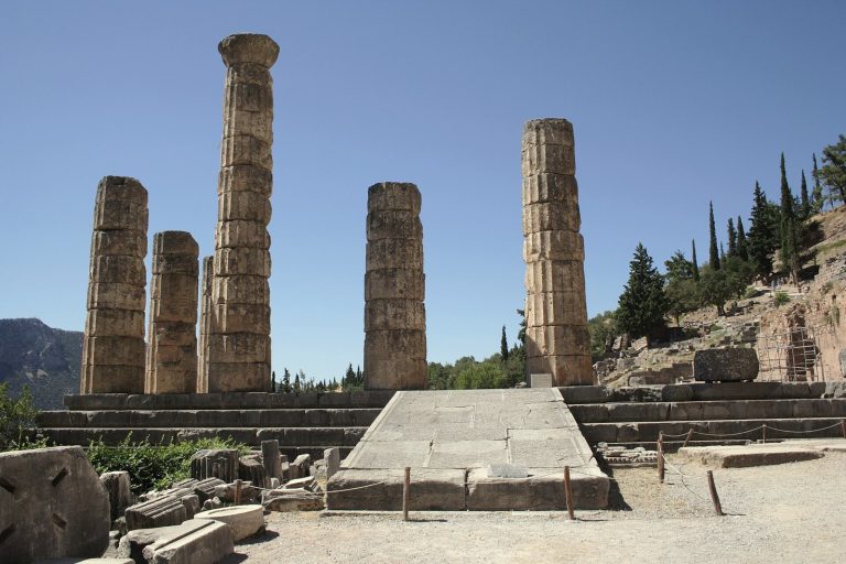
The Temple of Apollo was the focus of Delphi’s oracle and a sanctuary shaped by successive rebuildings, religious practice, political conflicts, and…
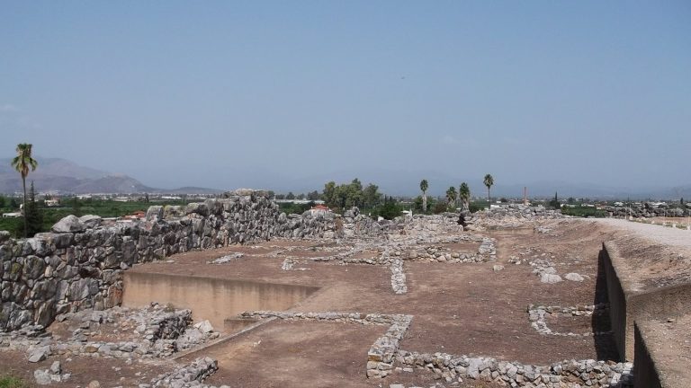
Tiryns was a fortified settlement in the Peloponnese that flourished as a Mycenaean palatial center. Its citadel, palace, later sanctuary, and…
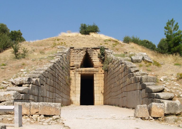
This Late Bronze Age tomb is known for its monumental domed chamber and its later legendary association with Atreus and Agamemnon, though its…
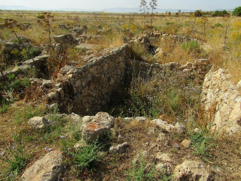
Enkomi developed into a major Late Bronze Age copper-trading and working center. Its planned streets, buildings, sanctuaries, tombs, and excavated…
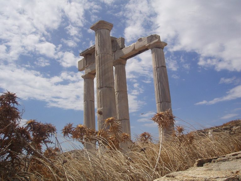
The Archaeological Site of Delos preserves a sanctuary of Apollo and Artemis, a Hellenistic city, and evidence of the island’s transformation from…
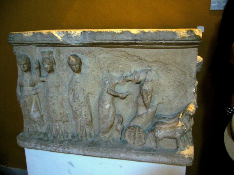
Founded in 1882 to protect Cyprus’s antiquities, the Cyprus Museum preserves archaeological material from the Neolithic period through Roman rule and…
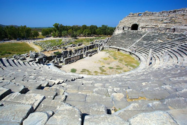
Miletus was a major Ionian city on the western coast of Anatolia, known for its colonies, philosophers, harbors, sanctuaries, planned urban layout,…
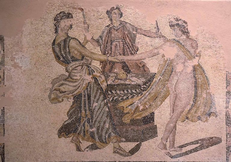
The Archaeological Museum of Patras presents the history of Patras, southern and western Achaia, from prehistory through the end of the Roman period,…
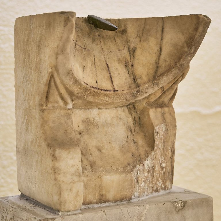
The Archaeological Museum of Piraeus traces the history of the ancient Athenian harbour from the Mycenaean era to Roman times through sculpture,…
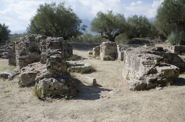
Sparta was a powerful Greek city-state whose political institutions, military system, territorial expansion, and later decline shaped the history of…
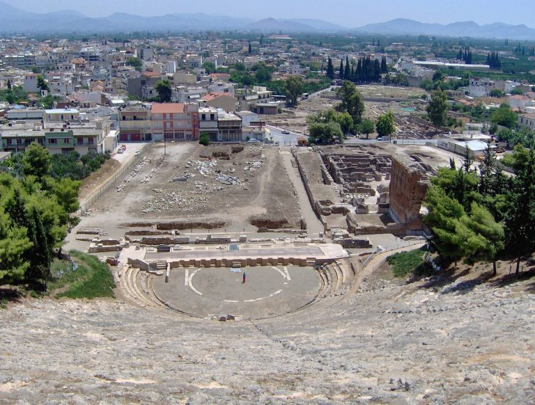
Argos developed from a Neolithic settlement and Mycenaean centre into an influential Greek polis, later flourishing under Rome and continuing as an…
For details on how to use the maps, which sites are included, how popularity and ratings are determined, and how sites are classified, see the help page.
On this page5 sections
Mycenae’s gateways and defensive circuit
The Fortifications of Mycenae follow the rocky outline of the citadel above the Argolid plain. Large limestone blocks form much of the circuit, with smaller stones packed into the gaps. The term Cyclopean masonry describes this exceptionally large-block construction, named through later Greek tradition.
The Lion Gate became the principal entrance during a thirteenth-century BC enlargement. Projecting walls protected the approach, while other entrances served different parts of the enclosure. Much of the circuit remains, although the upper courses and sections affected by collapse have been lost. Following its changes explains how the citadel expanded around buildings and burial places already present on the hill.
Teichos Dymaion above the coastal lagoons
Teichos Dymaion occupies a hill near Cape Araxos in the western Peloponnese. Its Mycenaean wall protected the exposed approaches, while steep ground and the adjacent lagoon gave protection on another side. Large blocks, gateways and surviving stretches of the circuit remain prominent.
The fortress was reused in later Greek, Byzantine and medieval periods. Its Bronze Age enclosure therefore needs to be distinguished from subsequent repairs and occupation. Compared with Mycenae’s inland setting, the hill overlooks coastal waters and lagoons as well as agricultural land.
A stone bridge on a Bronze Age road
The Kazarma Mycenaean Bridge, also called the Arkadiko Bridge, carried a road across a small watercourse. Its limestone blocks form a compact crossing with a narrow opening below the roadway. Projecting courses bring the sides together over the channel, while large masses of masonry support the approach.
The surviving bridge belongs to a wider Bronze Age road network in the Argolid. Its purpose was practical: maintain a crossing while allowing water to pass beneath. The structure offers a different application of large-block masonry from the fortifications, using the weight and arrangement of stone to support a route.
Palace remains beneath Thebes
The Cadmea of Thebes was a Mycenaean palatial center beneath the later and modern city. Excavated remains are dispersed rather than forming an open citadel on the scale of Mycenae. Palace structures and fragments of fortification establish its Bronze Age phase.
Thebes continued to develop long afterward. Some surviving gates and walls belong to later Greek periods, including Hellenistic work, and should not be presented as Mycenaean simply because they occupy the same citadel. The individual article separates these layers of the urban site.
Explore Mycenaean remains
Use the map and grid to locate the archaeological sites and museum entries. Open each article for its surviving Bronze Age features, the evidence for their function and the later history of the place.