Yamashiro Kokubun-ji Temple: The Provincial Monastery of Yamashiro Province


Site at a Glance
- Rating
- 4.2
- Popularity
- Very Low
- Country
- Japan
- Primary era
- Medieval
- External website
- Open
- Eras represented
- Medieval
- Civilizations
- Unclassified
- Site type
- Religious
- Remains
- Monastery
On this page14 sections
History
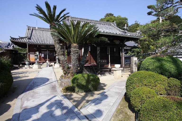
Yamashiro Kokubun-ji Temple in Kizugawa, Japan, was the provincial Buddhist monastery of Yamashiro Province, then written as Yamase, and formed part of the network ordered by Emperor Shomu in 741 during the Nara period. A kokubunji was a provincial monastery established under a policy that placed a monastery and nunnery in each province, extending Buddhist observance and the authority of the central government. The temple occupied the former site of Kuni Palace after Kuni-kyo ceased to be the capital, and its principal state hall was transferred to the monastery and reused as the Main Hall.
Kuni-kyo and the Temple’s Foundation
Kuni-kyo served as Japan’s capital from 740 to 744. Emperor Shomu moved the capital from Heijo-kyo after the Fujiwara no Hirotsugu Rebellion, an uprising by an eighth-century court official that preceded the relocation. Kuni Palace was the imperial palace of the new capital, and its Daigokuden, the principal state hall for imperial government, became the Main Hall of Yamashiro Kokubun-ji after the palace was abandoned. The capital later moved to Shigaraki and then elsewhere.
The exact foundation date of the temple remains uncertain. One tradition places its establishment after the 741 edict concerning provincial monasteries and states that the palace’s Daigokuden was transferred in 746. Another interpretation holds that the temple had already been founded before 746 and was moved to the former palace site in that year. Earlier locations proposed for the monastery include Kawara in Kamo and Kamikoma in Yamashiro. A passage dated 743 refers to the Kinkomyo-ji of Yamato Province. It is usually understood to concern Todaiji, although it has also been taken as evidence that Yamashiro Kokubun-ji existed by that date.
Provincial Institution and Medieval Decline
The monastery’s land and administrative position developed during the eighth century. In 747, provincial monasteries received grants of 90 cho of fields, an ancient Japanese measure of land area, while provincial nunneries received 40 cho. In 773, each of the two Yamashiro provincial temples was assigned 20 cho of service fields. In 843, the New Year’s Buddhist repentance rite for Yamashiro Province was returned to the provincial monastery after having been conducted at the provincial government office since 822.
The temple was said to have burned in 882 and was rebuilt in 898. The Engishiki, a tenth-century compilation of governmental regulations and administrative precedents completed in 927, allotted the monastery 15,000 bundles of rice as provincial-temple revenue. A document from 1231 identifies Yamashiro Kokubun-ji as a branch temple of Byodo-in in Uji, while another from 1301 describes it as an estate of Kasuga Shrine in Nara, a Shinto shrine historically associated with the Fujiwara family. Its later medieval history is unclear, but the temple appears to have declined further before being abandoned during the Muromachi period.
Investigation and Heritage Protection
The former palace and temple ruins were designated together as a National Historic Site in 1957 under the name Kuni Palace Ruins (Yamashiro Kokubun-ji Temple Ruins). The protected area was expanded and the designation name revised in 2007, followed by further additions between 2008 and 2018. The site received designation as a Special Historic Site in 2026. Archaeological investigations have continued since the latter half of the twentieth century, first through the Kyoto Prefectural Board of Education and the former Kamo Town Board of Education, and later through the Kizugawa City Board of Education.
Remains
The ruins occupy the Kamehara area on the north bank of the Kizu River in southern Kyoto Prefecture, overlapping the remains of Kuni Palace. The monastery precinct extended about 330 meters from north to south and 273 meters from east to west, enclosed by an earthen boundary wall. Its inferred layout follows a Kokubunji arrangement, a shortened form of the plan associated with Todaiji. The main compound stood toward the west, while a separate pagoda compound occupied the east.
Western Main Compound
Main Hall
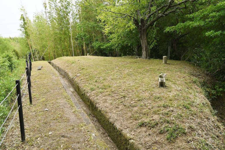
The Main Hall platform survives as a long earthen foundation. The hall is identified with Kuni Palace’s former Daigokuden, which was converted from a state building for Buddhist use. This reuse joined the abandoned capital’s palace architecture to the provincial monastery system. The Main Hall’s roof tiles had been newly made during the construction of Kuni Palace.
Presumed Lecture Hall
A presumed Lecture Hall was arranged north of or south of the Main Hall in a north-south line within the western compound. Other halls have not been identified. The arrangement reflects the shortened plan associated with provincial Kokubunji monasteries.
Eastern Pagoda Compound
Seven-Story Pagoda
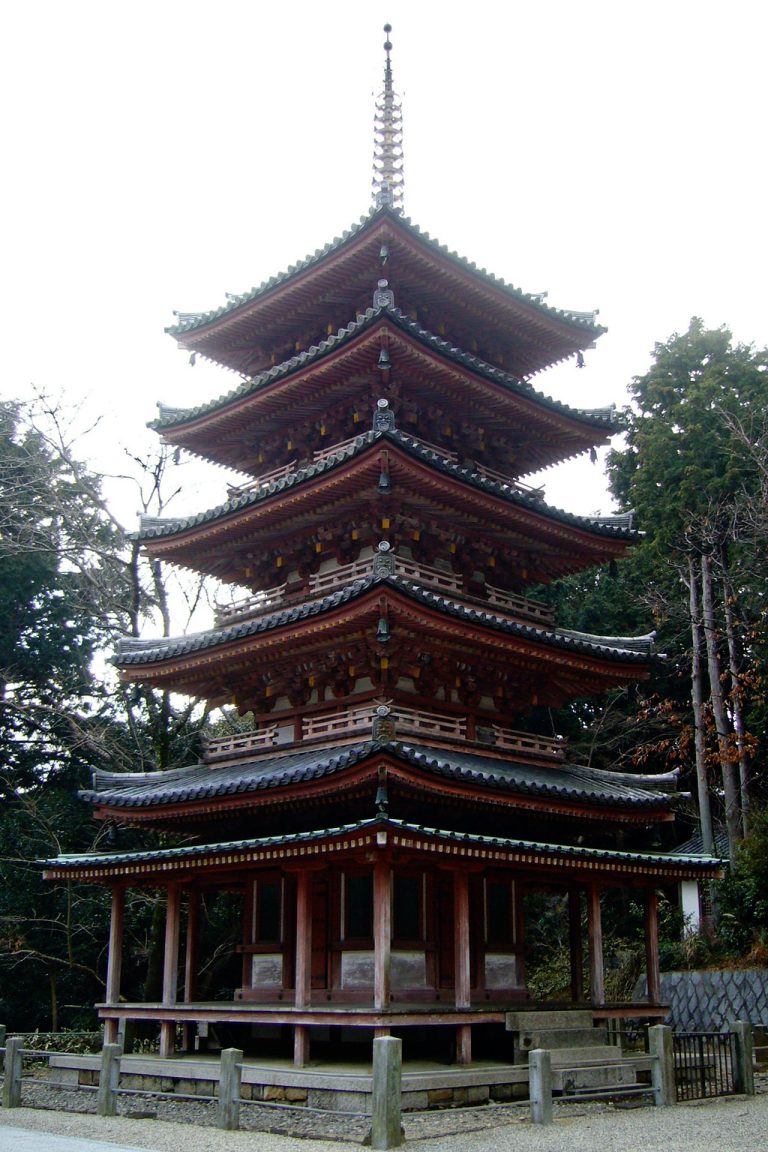
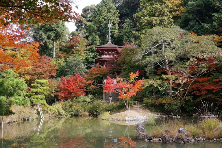
Fifteen large foundation stones survive east of Kuni Elementary School at a place called To-no-moto-moto. They are identified with the temple’s eastern pagoda, which stood within its own enclosed compound. The pagoda had seven stories. Its base measured approximately 17 square meters, while the first story measured about 9.8 square meters. Tiles used for the pagoda, corridors, and boundary wall were reused from Heijo-kyo.
Roof-Tile Evidence
The newly produced tiles associated with the Main Hall use the same mold as tiles attributed to the presumed provincial monastery of Omi at the Uchinono district of the Shigaraki Palace site. Their manufacturing techniques and clay differ, suggesting that the tile mold itself was transferred. This evidence connects the temple’s building materials with the sequence of palace and provincial-monastery construction during the period of repeated capital relocations.
Proposed Provincial Nunnery Site
Hokkaji-no
The presumed site of the Yamashiro provincial nunnery lies across the Kizu River on the south bank at Hokkaji-no in Kamo, about 200 meters west of the Hokkaji-no settlement. A stone monument marks the proposed location. Large quantities of ancient roof tiles were unearthed during road construction in 1915, and an excavation in 1927 uncovered a wall-like earthen feature. The place-name Hokkaji-no supports the identification, although the interpretation remains doubtful because associated structural remains have not been found.
Alternative Palace Interpretation
Another interpretation identifies the location as the site of the Kamehara Detached Palace rather than the provincial nunnery. The proposed nunnery remains therefore form a separate archaeological question from the monastery ruins on the north bank, where the Main Hall platform, pagoda foundations, precinct boundary, and palace-related roof tiles define the surviving physical evidence.