Beng Mealea: A Khmer Hindu Temple Complex in Cambodia
Site at a Glance
- Rating
- 4.7
- Popularity
- Medium
- Country
- Cambodia
- Primary era
- Medieval
- Eras represented
- Medieval
- Civilizations
- Khmer
- Site type
- Religious
- Remains
- Temple
On this page15 sections
History
Foundation and Angkorian Connections
Beng Mealea is a Khmer Hindu temple complex in Siem Reap Province, Cambodia, about 40 kilometres east of Angkor’s main temple group. Built in the late eleventh or early twelfth century, it stood along an ancient royal highway linking Angkor with Preah Khan of Kompong Svay and served as an important regional centre on east-west routes.
The temple’s name means “Lotus Pond,” but its history remains uncertain because no inscription has been found. Its architecture, religious imagery, and carved decoration generally place its construction in the late eleventh or early twelfth century. Some interpretations place much of the building work in the same period as Angkor Wat, or slightly later. The temple is traditionally associated with Suryavarman II, the Angkorian king whose reign, generally dated to around 1113 to 1150, was also associated with the construction of Angkor Wat and major temple building across the Khmer Empire.
Another interpretation views Beng Mealea as a regional foundation established by local leaders and elites who adopted and adapted architectural forms associated with the Angkorian centre. The complex shows limited influence from the eleventh-century Baphuon style and a transition from Angkor Wat-style forms toward the early Bayon style, which developed mainly in the late twelfth and early thirteenth centuries. It is sometimes described as an experimental or planned model for Angkor Wat, although that relationship has not been proven.
Beng Mealea was founded as a Hindu temple, with Vishnu as its principal deity. Vishnu is a major Hindu god associated with preservation, while Garuda, the divine bird traditionally linked with him, appears in the temple’s religious imagery. Some carvings also include Buddhist motifs, reflecting the varied religious imagery present within the complex.
Regional Landscape and Later History
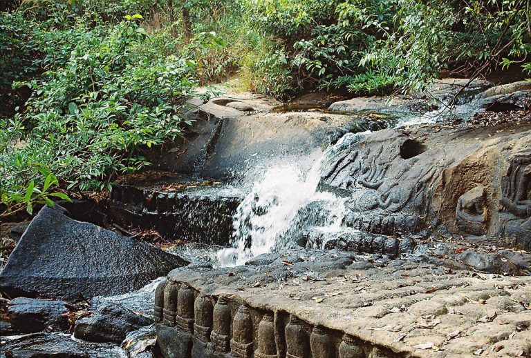
The temple formed part of a wider agricultural and transport landscape. A large reservoir to the east supported irrigation and an extensive grain-producing area. Nearby quarries supplied sandstone, and the small O Thmor Dab stream was used during the high-water season to transport stone toward the Angkor region. The reservoir and road network belonged to a broader corridor connecting Angkor with Phnom Kulen, Koh Ker, and Wat Phou. Beng Mealea, Angkor Wat, and Preah Khan of Kompong Svay stand on an approximately linear route associated with the ancient royal road system.
A small structure west of the temple, now identified as Kuk Top Thom or Prasat Kansaeng, served as a rest station for travellers. It is classified as a dharmaśāla, a shelter or lodging house associated with religious and royal routes. The building was once attributed to Jayavarman VII, but it is also considered to have been constructed under Tribhuvanadityavarman.
After the end of Khmer Rouge rule, Beng Mealea was added to Cambodia’s UNESCO World Heritage Tentative List. The listing was first proclaimed on December 1, 1992, and is also recorded as a cultural tentative-list entry dated March 27, 2020. The temple is additionally associated with the Angkor World Heritage property.
Mine clearance inside the temple and along its approach routes took approximately ten years and was completed by the end of 2003. This work enabled the site to be formally opened. Between 2024 and 2025, the APSARA National Authority, Cambodia’s government body responsible for managing and conserving the Angkor archaeological region and associated heritage sites, excavated and restored the eastern causeway. Excavation beginning in June 2024 showed that the causeway floor had collapsed and its foundations had separated. Salvage excavation was also carried out on the western causeway in March 2025.
Remains
Plan, Enclosures, and Approaches
Moat and Outer Enclosure
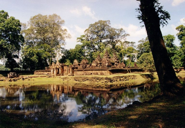
Beng Mealea is a flat-plan Khmer temple rather than a pyramidal temple. It faces east, although entrances are provided on all four cardinal sides. A large moat surrounds the complex, measuring approximately 1,025 metres from east to west and 875 metres from north to south, with a width of about 45 metres. The surrounding enclosure wall measures approximately 1,100 metres east to west by 600 metres north to south.
The temple was associated with a settlement or town centred on the sanctuary. Its outer enclosure, also called the third gallery, measures approximately 181 by 152 metres. The complex was built chiefly of sandstone, with laterite, an iron-rich tropical soil that hardens into a durable building material, also used in its construction. Much of the sandstone came from quarries near Phnom Kulen, approximately 7 kilometres away, and may have been moved through artificial canals toward the Angkor region.
Eastern Approach and Causeways
The principal approach crosses the moat from the western side of the eastern reservoir terrace. It reaches a cruciform sandstone terrace, then continues toward three enclosing galleries, entrance towers, and the central sanctuary. A cruciform plan is arranged in the form of a cross. The eastern and southern approaches retain sandstone balustrades, including a surviving Naga balustrade on the southern approach. Nagas are serpent beings in South and Southeast Asian religious traditions, and their sculpted bodies commonly form balustrades along Khmer bridges, terraces, and causeways.
The cruciform terrace preserves a comparatively well-preserved balustrade with five-headed Nagas. The complex also includes depictions of seven-headed Naga balustrades. The eastern causeway restoration covered approximately 100 metres in length and 13 metres in width. It included twelve pillars and thirteen drainage channels, while the Naga balustrades, beams, and pillars were returned to their reported original positions.
Galleries and Central Sanctuary
Enclosing Galleries and Cloisters
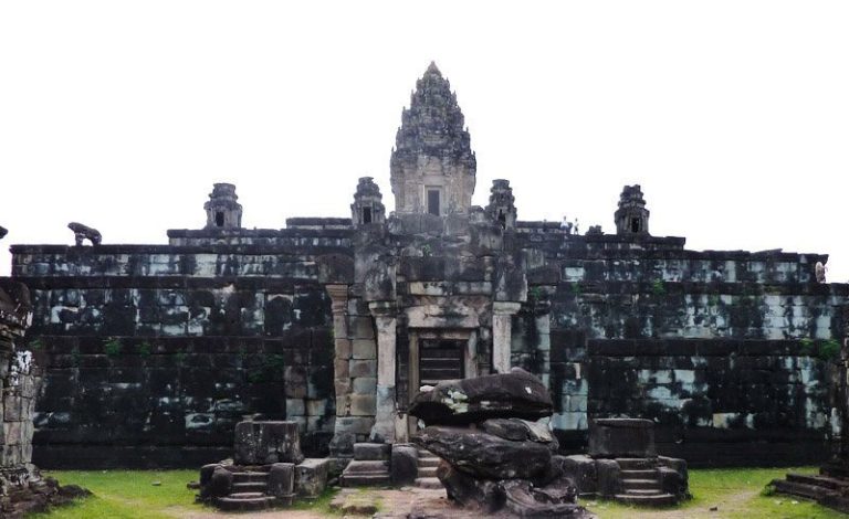
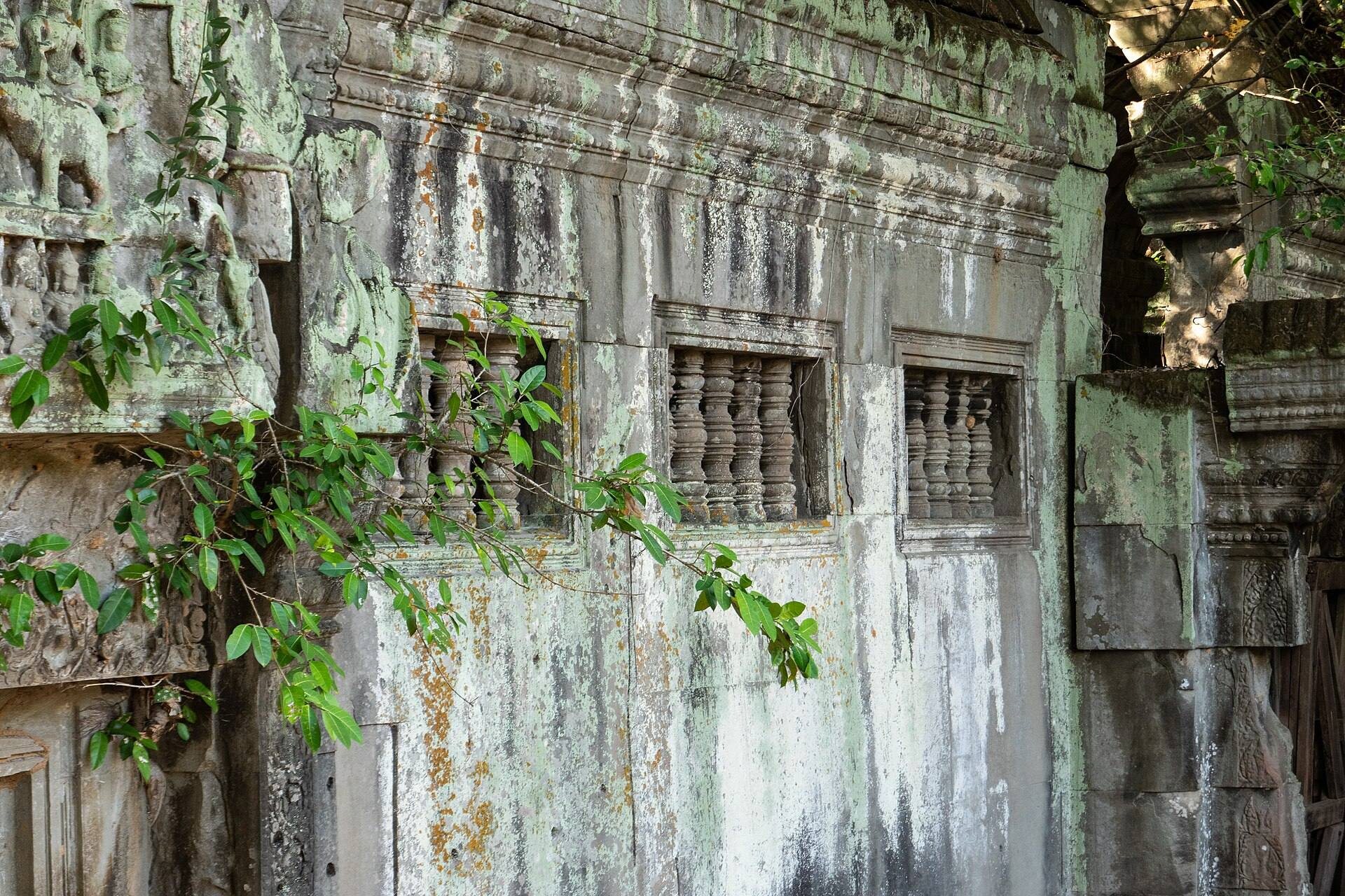
Three enclosing galleries are connected by narrow cruciform cloisters, or covered passages arranged in a cross-shaped plan. Their arrangement is broadly comparable to the approach architecture of Angkor Wat. On the eastern side, a cruciform courtyard and narrow vaulted cloisters lead toward the central sanctuary. Part of the northern second gallery has windows set close to the ceiling, allowing very little light to enter. Two additional gallery-like structures stand between the southern outer gallery and the second gallery.
Libraries and Sanctuary
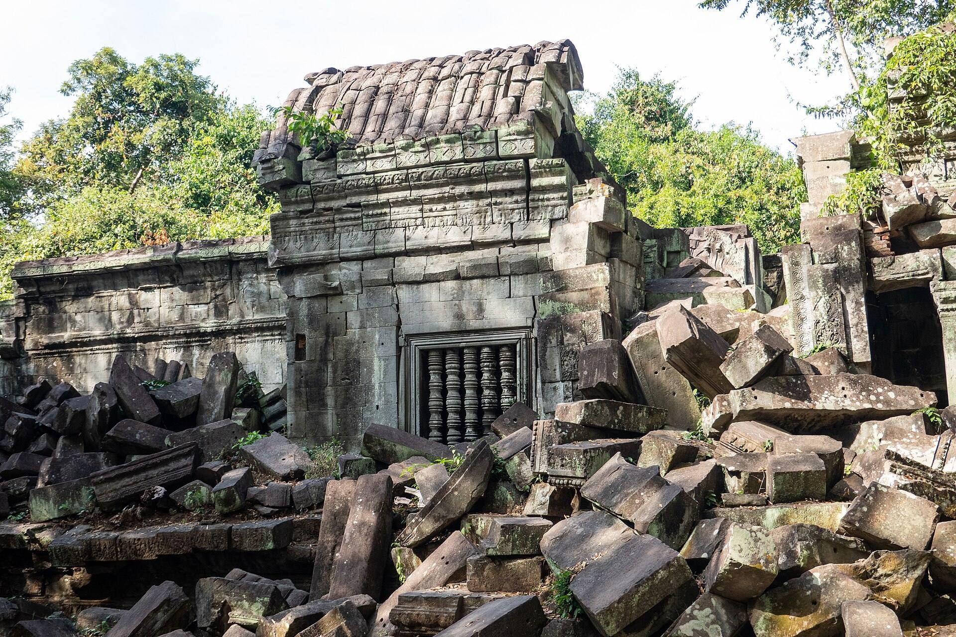
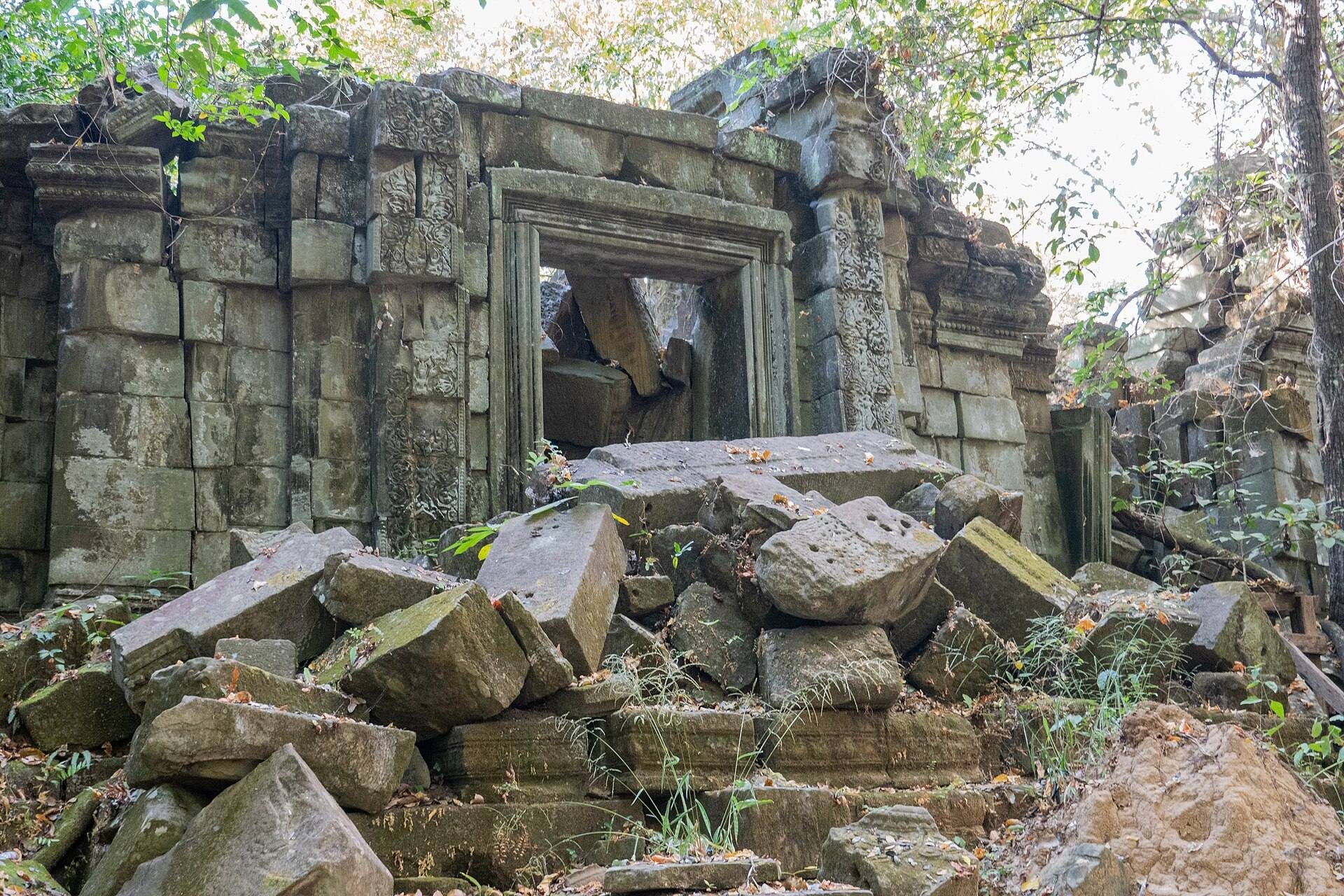
Two structures identified as libraries stand on the north and south sides of the eastern outer-gallery area beside the principal approach. Their connecting form has been compared with the approach architecture of Baphuon. The central sanctuary has collapsed, and large quantities of stone lie in heaps throughout the complex. The surviving remains therefore combine standing galleries, entrance structures, cloisters, and scattered architectural elements.
Carved Decoration
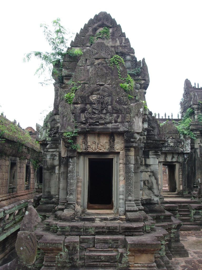
Much of the decorative programme consists of sandstone lintels, pediments, false-door pilasters, reliefs, and other carved architectural elements. A lintel is the horizontal stone above an entrance, while a pediment is the decorated gable above it. The carvings include scenes from Hindu mythology, among them the Churning of the Sea of Milk, in which gods and demons churn the cosmic ocean to obtain the elixir of immortality, and Vishnu carried by Garuda.
Relief decoration associated with Hindu mythology appears throughout the complex, while some carvings depict Buddhist symbols. Apsara figures survive on portions of the outer-gallery walls. Causeways and terraces incorporate long Naga balustrades formed from the bodies of serpent figures, linking the carved religious imagery with the architectural treatment of the approaches.
Reservoir and Associated Structures
Srah Kaev Reservoir
East of the temple lies Srah Kaev, a largely dry reservoir measuring approximately 1,500 metres from east to west by 600 metres from north to south. Its embankments were formed by two raised earthen banks. Prasat Veal Phtei, a restored shrine, stands at the centre of the reservoir.
Related Shrines and Bridge
Other associated shrines occupy positions around the reservoir. Ben Kev stands at the centre of the western embankment, Prasat Chrei is approximately 150 metres south of the centre of the southern embankment, and Prasat Kon Phluk is approximately 200 metres east of the southeastern part of the eastern embankment. Prasat Don Chan stands approximately 400 metres west of Beng Mealea. Along the route toward Angkor, the stone bridge known as Spean Tnaot Ta Dev also survives.
Condition and Vegetation
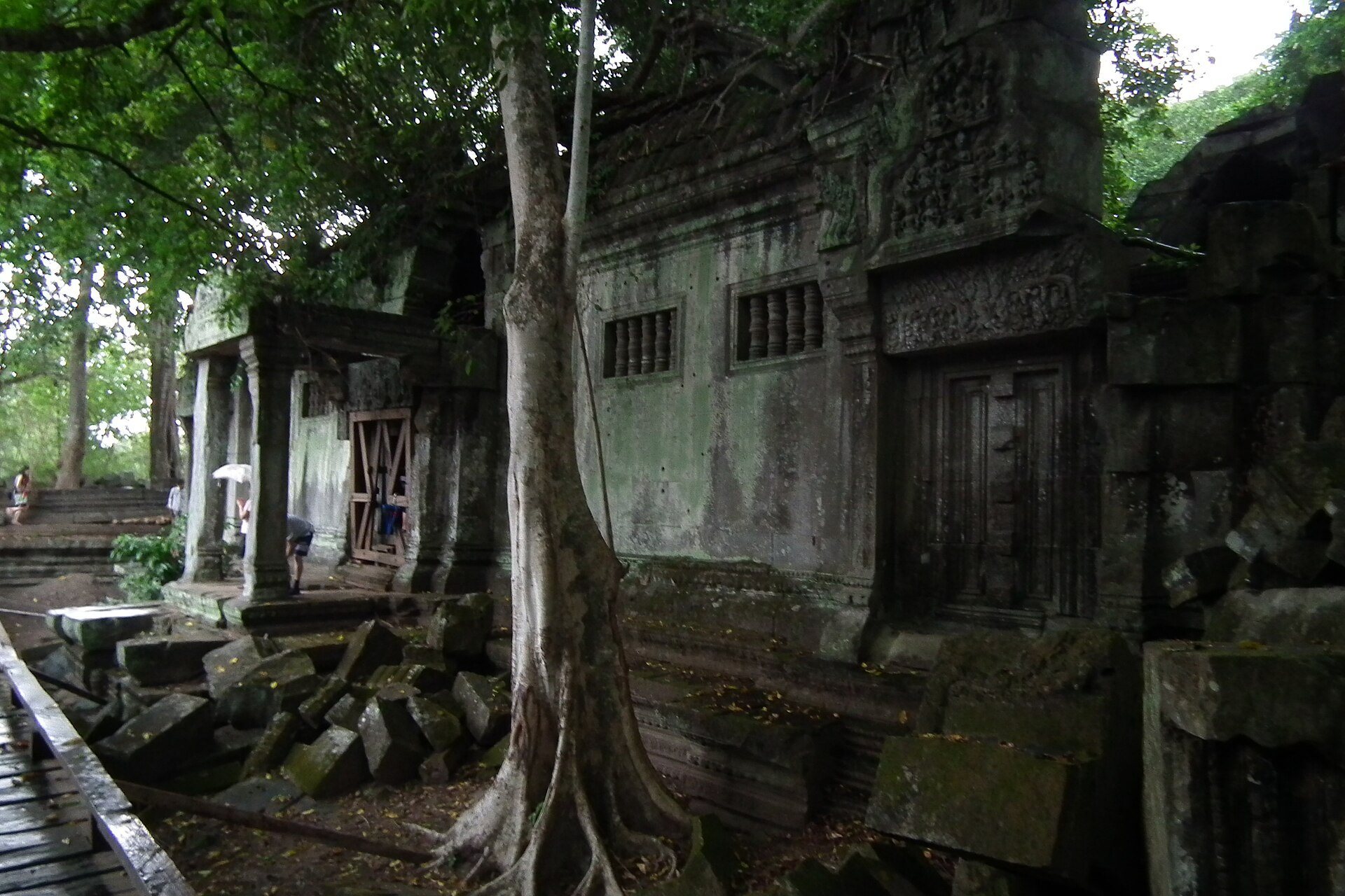
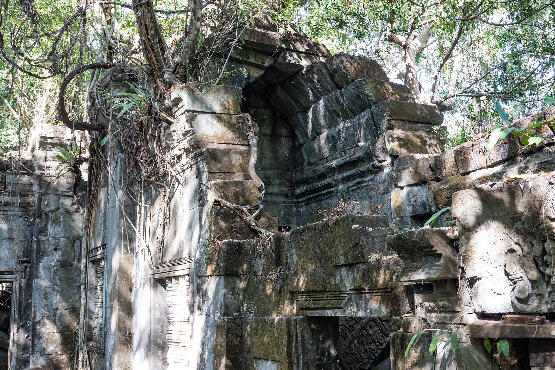
Beng Mealea is severely ruined and remains largely unrestored in many areas. Trees, including banyans, and dense vegetation grow among the towers and courtyards, while fallen stones form extensive heaps across the complex. The restored eastern causeway provides a repaired element within a wider temple landscape whose collapsed sanctuary, galleries, carved stones, reservoirs, shrines, and road-related structures preserve evidence of Beng Mealea’s religious and regional setting.