Altfinstermünz: A Fortified Alpine Crossing in Austria
Site at a Glance
- Country
- Austria
- Primary era
- Medieval
- Eras represented
- Medieval, Early Modern
- Civilizations
- Habsburg, Holy Roman Empire
- Site type
- Military
- Remains
- Fort
On this page11 sections
History
Altfinstermünz is a fortified crossing in the Finstermünz gorge on the Inn River in Austria, below the Reschen Pass. Its defenses took shape mainly from the late 15th century, as rulers strengthened this route through the Alps. The site also served as a judicial and customs center.
Roman route and early medieval jurisdiction
The Roman Via Claudia Augusta, a road across the Alps linking northern Italy with Augsburg, passed Finstermünz on its way over the Reschen Pass. The gorge crossing was the only crossing on this north-south route for almost two millennia. The road remained important until the 2nd century CE; after development of the Brenner road, the old route declined to regional importance.
Finstermünz was a judicial seat before the 10th century and served as a judicial center for the Lower Engadine, Nauders, and Pfunds from the 9th to the 11th century. Around 550, western Raetia, a Roman province in the central Alps, came under Frankish rule, while its eastern part belonged to the Duchy of Bavaria. In the early medieval period, the bishopric of Chur governed the Inn Valley as far as Finstermünz from the southwest. Territory to the northeast belonged to the bishopric of Säben-Brixen. These bishoprics also held political authority.
Fortification and customs station
In 1078, Welf, Duke of Bavaria and a member of the medieval Welf dynasty, placed a garrison at the narrow pass known as the Clusa during a campaign against the bishops of Chur. The site was first recorded in 1159 as Vinestana silva, meaning Finstermünz forest. The name remained Finstermünz until 1856, when Altfinstermünz came into use. The name’s origin is uncertain. Suggested explanations connect it to the Indo-European mintsja, meaning projecting rock, or to Venosta or Vinschgau, possibly referring to a toll station on that route. The Romansh form Vestmezia is also known.
Customs were collected at Finstermünz from around 1300, and the oldest surviving toll tariffs date to 1534. Around 1472, Sigismund of Austria, a Habsburg ruler associated with Tyrol, had the border fortification of Siegmundsegg and a bridge over the Inn built to guard against incursions from the Engadine. Finstermünz served as a stronghold during the Engadine War in 1499. The main gate tower was built between 1502 and 1537. A chapel dedicated to the Assumption of Mary, the Christian belief that Mary was taken into heaven, was built nearby and consecrated in 1605.
Border changes and decline of the old route
From 1652, Finstermünz marked the boundary between the Habsburg County of Tyrol and the Free State of the Three Leagues, a political confederation in what is now the Swiss canton of Graubünden. The customs station closed in 1779 and moved to Martinsbruck; Finstermünz then became an inn with a brewery. In 1799, during the War of the Second Coalition, a conflict between revolutionary France and its opponents, the Pfunds marksmen, a local armed militia, captured 300 prisoners at Finstermünz.
The bridge was renewed in 1845. Work on a new high road between Pfunds and Nauders began in 1854, following an engineer’s plan and built under a master builder. Together with the Kajetansbrücke, the new road offered an alternative crossing and reduced the importance of the old bridge and route. A treaty between Austria and Switzerland settled a long-running dispute over the Novellaberg area in 1868. It assigned the Novellaberg to Switzerland but kept the road from Altfinstermünz to Pfunds in Austria, although the road also lay on the Inn’s left bank. The river forms the boundary near Finstermünz and Martina; farther north, the boundary briefly shifts to the river’s west bank before turning west at the Schergenbach.
The bridge was repaired in 1948 and 1949. The municipality of Nauders has owned the site since 2001. The Altfinstermünz association, also founded in 2001, was carrying out renovation work by 2018.
Remains
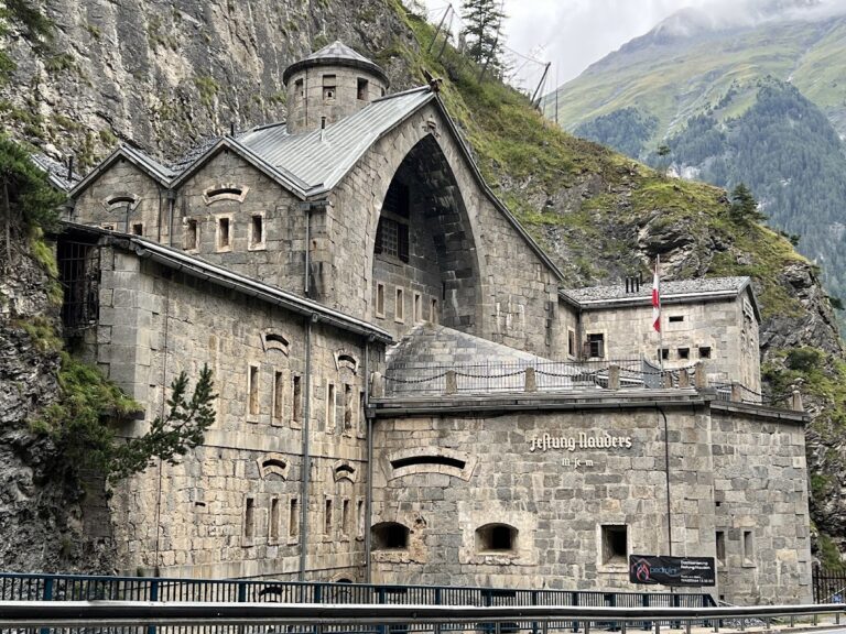
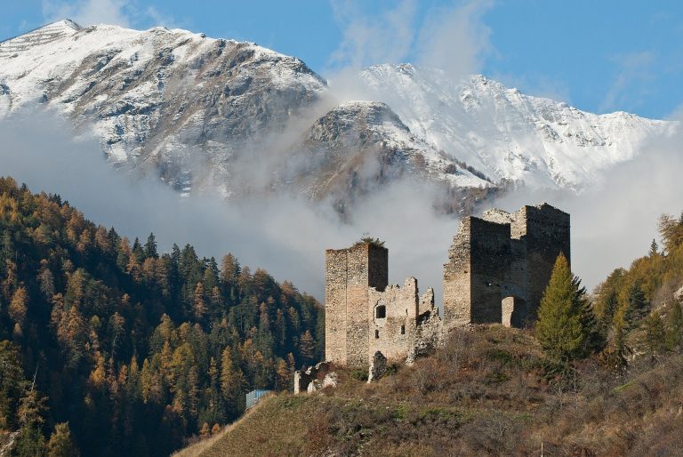
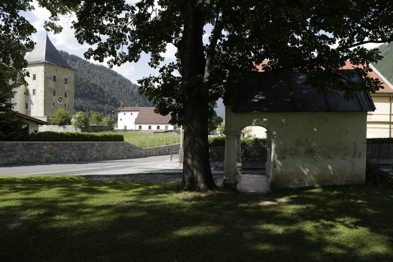
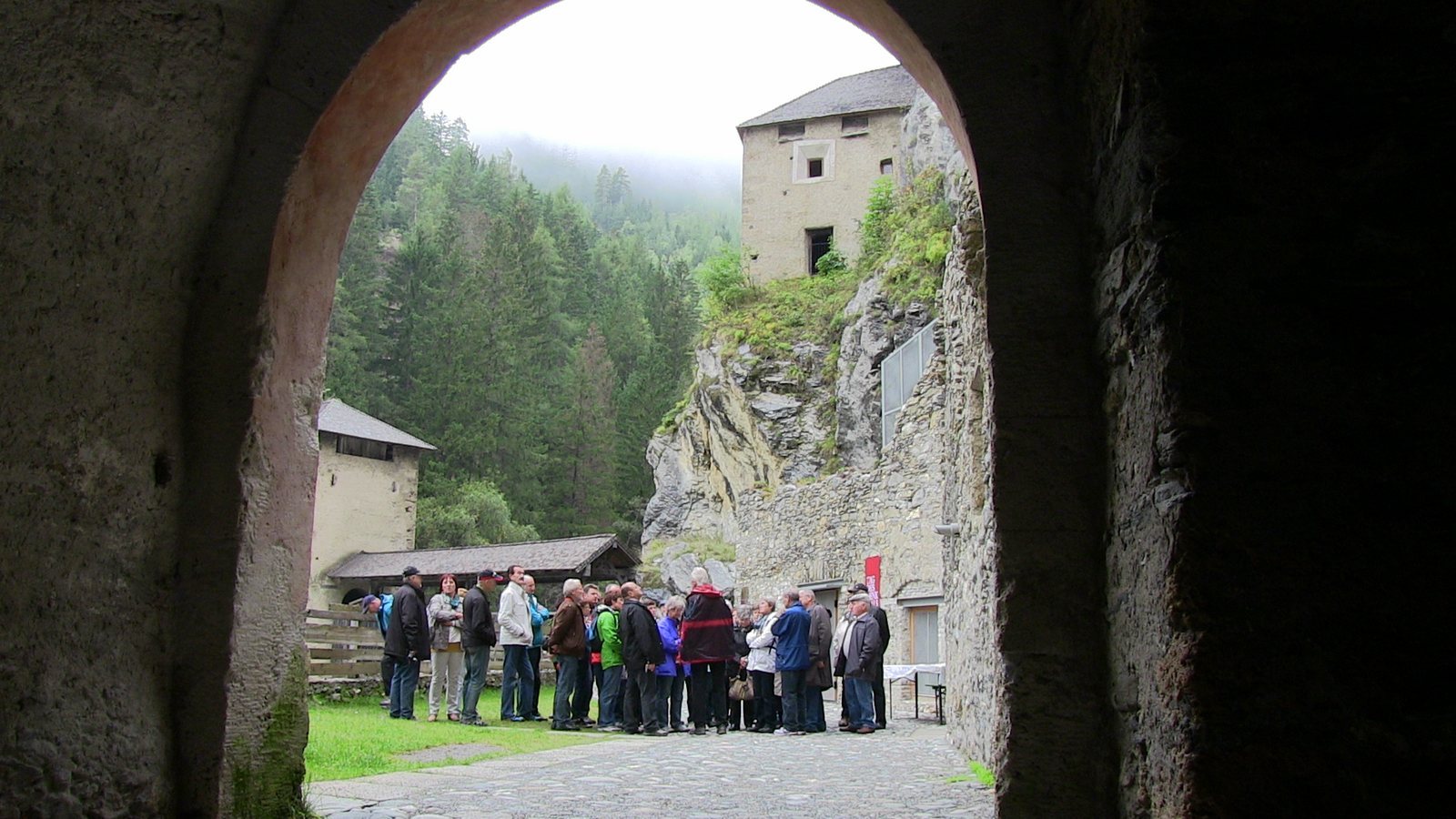
The fortified complex occupies the Inn gorge at the foot of the Reschen Pass, on the river’s right bank when facing downstream. Its remains include a timber bridge, defensive towers and walls, and buildings near the crossing. The layout links the old road at the river with fortifications positioned above and beside it.
Bridge and river tower
The timber bridge crosses the Inn and passes over a three-storey tower standing in the river, where the tower also acts as a bridge pier. The bridge has a timber roof: the Austrian side is covered, while the Swiss side is open. The midstream tower has crenellations and a machicolation, a projecting opening used to attack an area below.
Fortifications and associated buildings
Residential and defensive tower
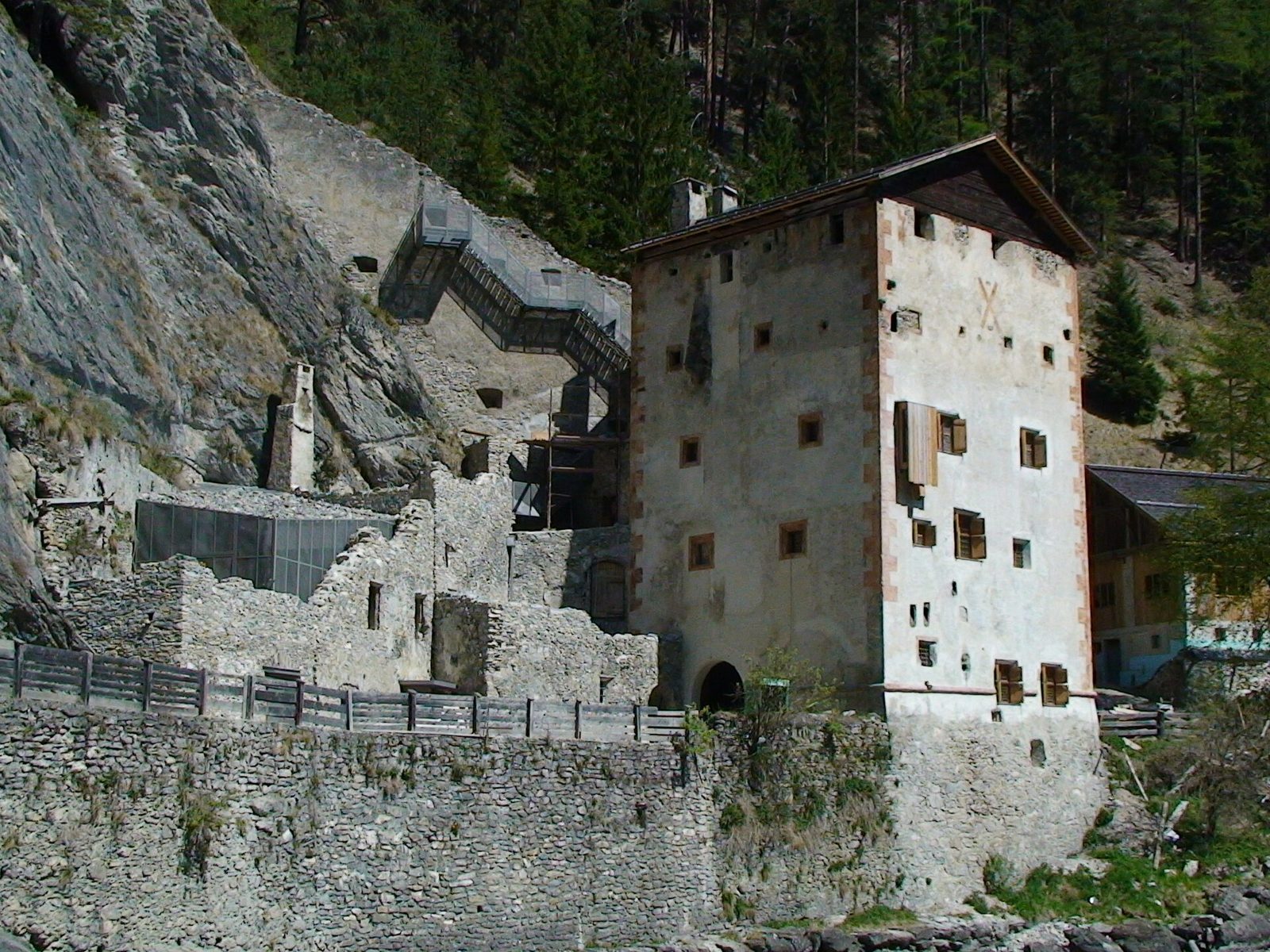
A five-storey residential and defensive tower stands above the road. A machicolation projects over the roadway, while machicolations and a defensive platform protect the entrance passage. From the tower, a wall with a parapet walk, a passage along the top of a defensive wall, extends toward the cliff.
Artillery tower
An artillery tower stands on a rocky spur. It was once linked to a wooden defensive wall-walk and connected by a tunnel through the rock to a cave where an early cave fortress was suspected.
Earlier fortress and service buildings
Remains of an older fortress, a hunting lodge, stables, and other buildings also survive within the complex.
Chapel
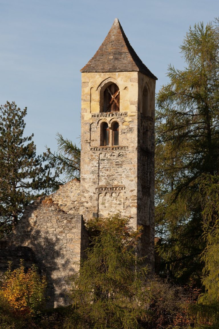
The Chapel of the Assumption of Mary stands near the fortifications. It forms part of the group of buildings surrounding the historic crossing.