Seleucid Empire: Sites and Map
The Seleucid dynasty emerged after Alexander the Great’s conquests, in the Greek-influenced world known as the Hellenistic period. Its sites include planned cities, a mountain fortress, rock-cut religious imagery and working spaces beneath an inhabited town. Across Syria, Anatolia, Iran and the southern Levant, these places connect royal government with established communities and traditions.
Primary Function: All
Type: All
Country: All
Popularity: All
Rating: All
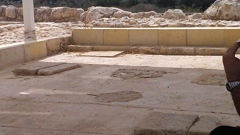
Um el Umdan is a Jewish archaeological site near Modi'in in Israel, with remains from the Persian, Hellenistic, Hasmonean, Roman, Byzantine, and…
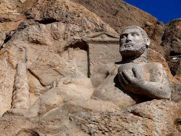
The Statue of Hercules at Bisotun is a 148 BCE Seleucid monument dedicated to Herakles Kallinikos, combining Greek inscriptional forms with Iranian…
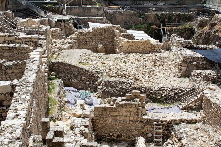
The Givati Parking Lot excavation in Jerusalem’s Silwan neighborhood has revealed remains spanning the Iron Age, Hellenistic, Roman, Byzantine, and…

Carchemish was a major city and political center on the Euphrates, whose history spans prehistoric settlement, Hittite and Neo-Hittite rule, Assyrian…
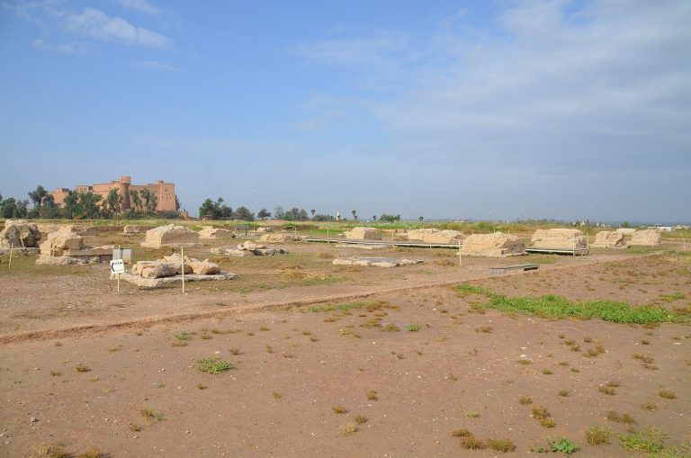
Susa, near modern Shush in southwestern Iran, developed from a late fifth-millennium BCE settlement into an Elamite capital, Achaemenid royal…
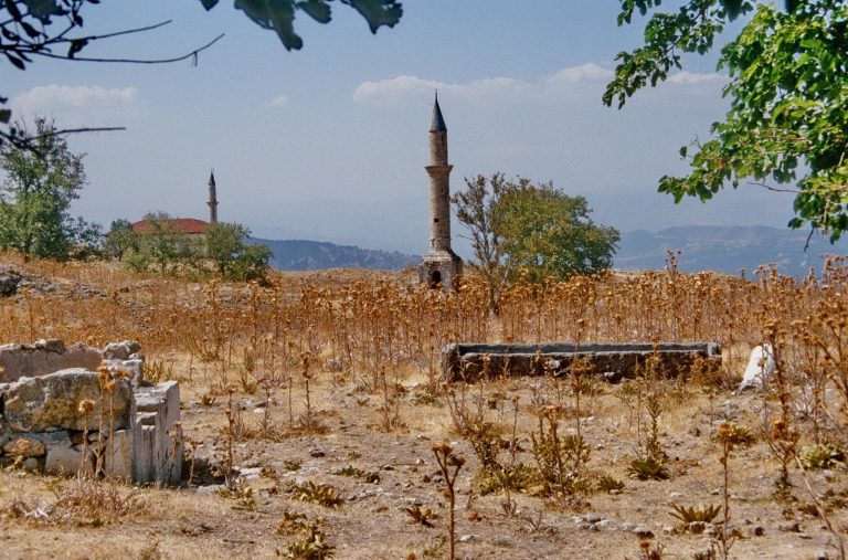
Kale-i Tavas is a ruined fortified settlement in southwestern Turkey, occupying the ancient city of Tabae. Its remains preserve evidence of…
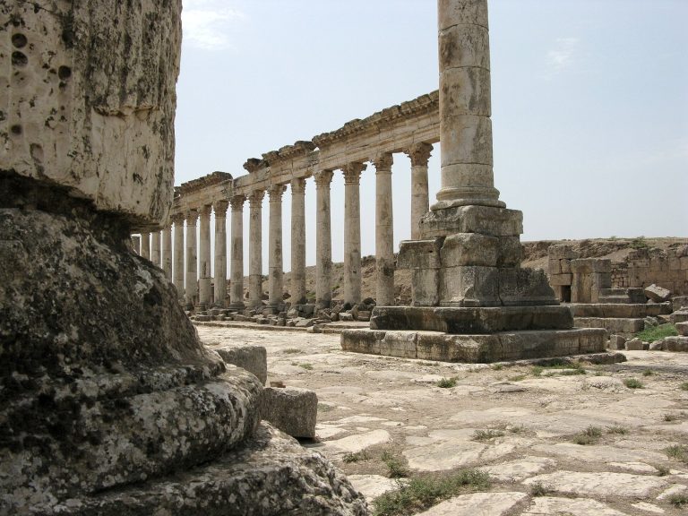
Apamea was a major Seleucid military and commercial center that later became a Roman provincial capital and an important Christian and cultural…
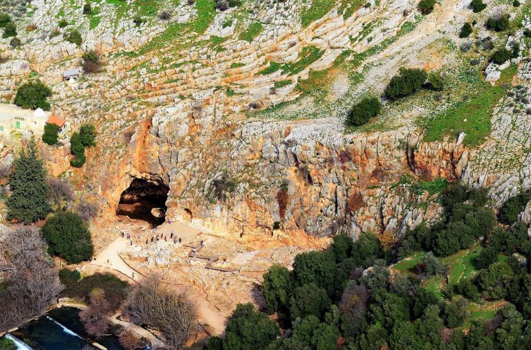
Caesarea Philippi, also known as Paneas or Banias, developed around a major spring at the foot of Mount Hermon and became a religious,…
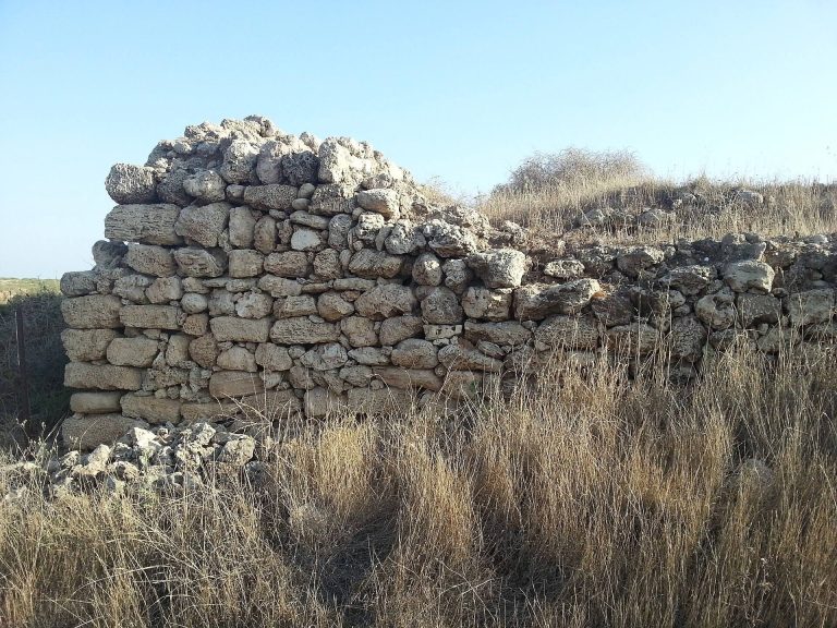
Tel Michal near Herzliya preserves evidence of settlements, forts, temples, industrial activity, burials, and coastal trade from the Middle Bronze…
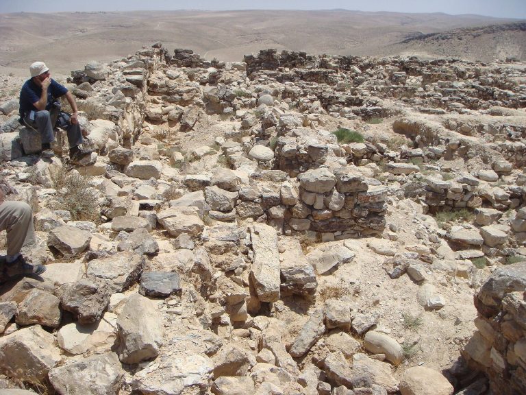
Horvat Uza is a fortified archaeological site above Nahal Qinah, where Judahite, Edomite, Hellenistic, Nabataean, and Roman phases controlled an…
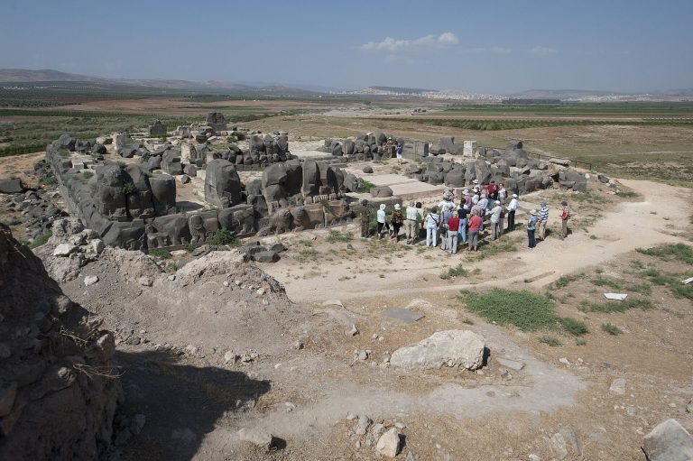
Ain Dara is an archaeological settlement in northern Syria whose long occupation, strategic location, and richly decorated Iron Age temple illuminate…
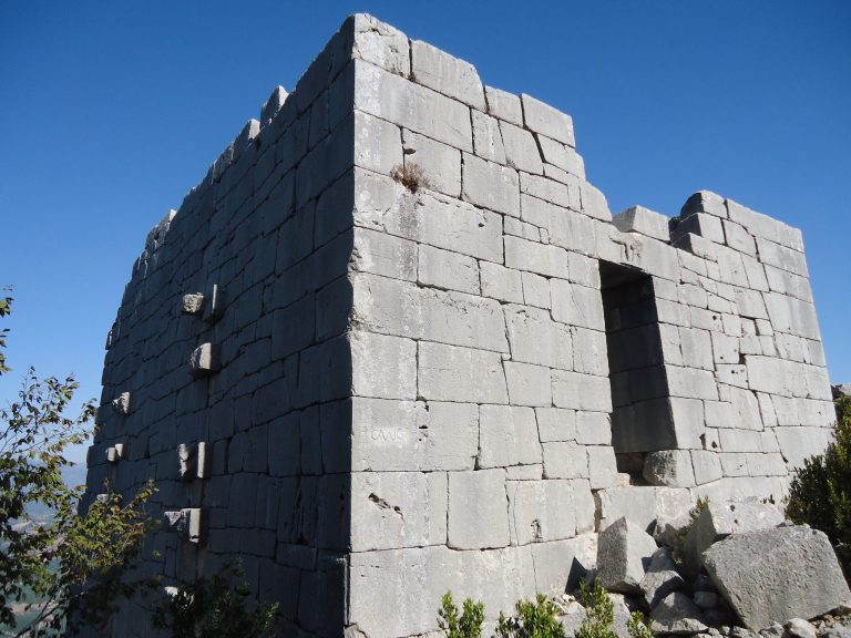
Karasis Fortress is a high-Hellenistic complex on Mount Karasis near Kozan, Turkey. Built around 200 BC by the Seleucids, it combined a palace-like…
For details on how to use the maps, which sites are included, how popularity and ratings are determined, and how sites are classified, see the help page.
On this page5 sections
Apamea: a royal city and military centre
Seleucus I refounded Apamea on the Orontes around 300 BC and named it after his wife, Apama. The city occupied a plateau above the river valley and became an important Seleucid military centre, associated with the royal cavalry and war elephants.
Its planned streets and fortified position belong to a policy of organising territory through major urban foundations. The celebrated colonnaded avenue visible today, including its spiral-fluted columns, is chiefly Roman. It follows the later development of a city whose place in the region had already been established under the Seleucids.
Dura-Europos: a town above the Euphrates
Dura-Europos began as a Seleucid foundation around 300 BC. Its plateau position above the Euphrates provided a defensible setting beside a major river route. Regular streets divided the settlement into blocks, with an agora forming a central public space.
Fortifications enclosed the town, while the river and surrounding ravines shaped its edges. This combination of a planned interior and a carefully chosen natural position made the settlement useful for controlling movement. The famous synagogue and Christian meeting house date to the later Roman period, after the city had passed through Parthian rule; they belong to a different stage of its long history.
Karasis: a fortified mountain complex
The ruins at Karasis in southern Turkey are generally interpreted as a Seleucid stronghold. Stone walls, terraces and substantial buildings occupy a steep mountain site. A relief of an elephant provides a striking connection with the military imagery associated with the dynasty, although the precise history of the fortress is less securely documented than that of the major cities.
Water storage and buildings interpreted as barracks or stores helped sustain occupation away from a broad urban plain. The site gives the map a contrasting scale of control: a concentrated fortified complex within difficult terrain, rather than a large settlement laid out around streets and public squares.
Behistun: Heracles carved beside an older royal monument
The relief of Heracles at Behistun in Iran dates to the second century BC. The bearded hero reclines with a bowl in his hand, accompanied by attributes including a club and lion skin. A Greek inscription records the dedication.
Heracles was a familiar figure in Greek religious and royal imagery. At Behistun his image occupied a landscape already marked by the much earlier Achaemenid inscription of Darius I. The carving is a specific Hellenistic addition to that place, showing how a new dedication could sit beside an established monument of Persian kingship.
Maresha: production below the houses
Maresha passed from Ptolemaic to Seleucid control around 200 BC. Its population included communities with different regional and cultural backgrounds, and its Hellenistic remains combine buildings above ground with extensive spaces cut into the soft chalk below.
Quarrying supplied blocks for construction and left chambers that could be adapted for other uses. Cisterns stored water, oil presses supported production, and columbaria housed pigeons in rows of small niches. These underground installations connect the political history of the region with the practical work of supplying and maintaining a town.
Open the map markers or grid cards to follow each site’s Seleucid evidence within its longer building history.