Roman Sites in Algeria: Explore Ancient Cities, Legionary Buildings and Arches
Roman sites in Algeria include paved city centres, hillside settlements, coastal public squares and the standing headquarters building of a legionary base. Extensive urban remains allow the collection to go beyond isolated monuments: streets connect markets, religious buildings, baths and residential districts within the same archaeological site.
The examples below show different settings and purposes. Djemila’s public buildings occupy a rocky spur, Tiddis follows a steep slope, and Tipasa extends towards the sea. Lambaesis and Theveste add military administration, a four-sided arch and later fortifications that incorporated Roman structures.
Primary Function: All
Type: All
Popularity: All
Rating: All
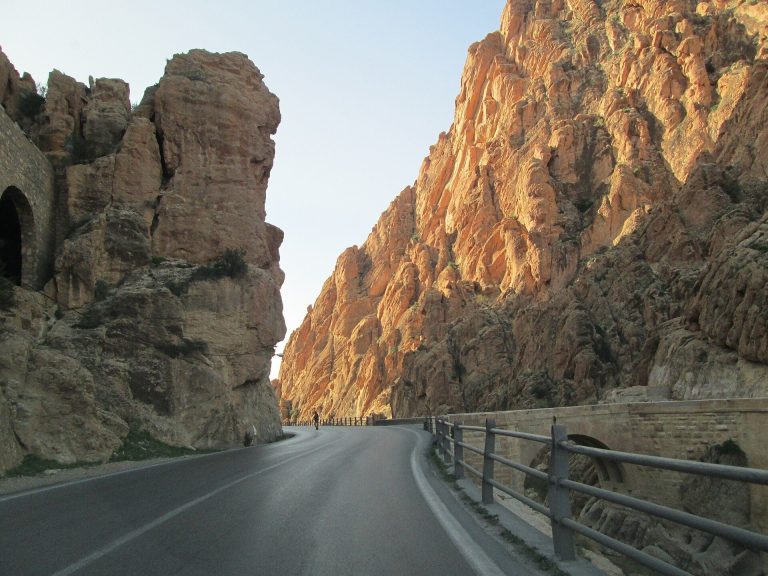
Built in AD 335, the Roman bridge in El Kantara connected Algeria’s northern Tell region with the Sahara. Its single stone arch remains associated…
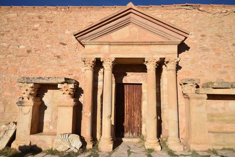
The University of Madaure was an ancient Roman institution in the city of Madaure, associated with major North African writers, philosophers, and…
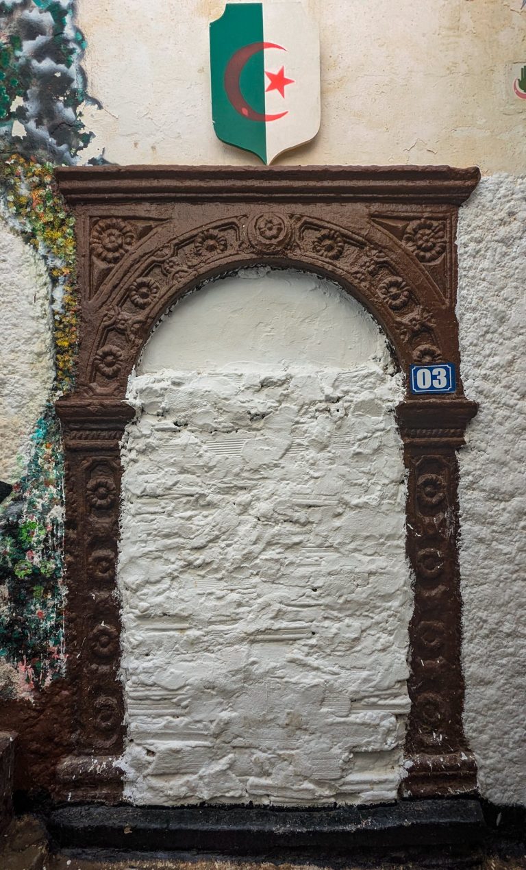
The Casbah of Algiers is a steep historic medina whose Punic, Roman, medieval, Ottoman, colonial, and modern histories are preserved in its dense…
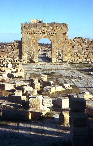
Madauros was a pre-Roman Numidian settlement that became a Roman colony, an educational center, and later a Christian and Byzantine stronghold. Its…
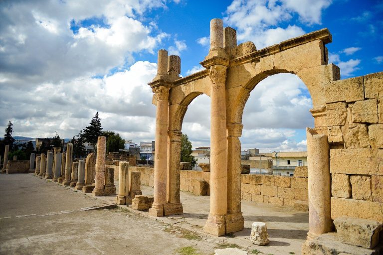
Tebessa Basilica at ancient Theveste developed from a Roman structure into a major Christian and monastic complex between the fourth and seventh…
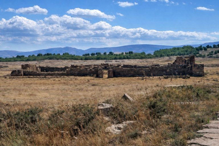
Built under Emperor Justinian around 539–540, the Byzantine Fort in Timgad secured routes north of the Aurès and reused the remains of the earlier…
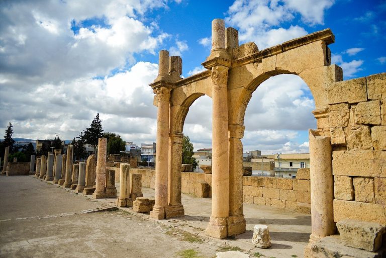
Theveste, now Tebessa in Algeria, developed from earlier Numidian, Berber, Phoenician, and Carthaginian settlements into a Roman military and…
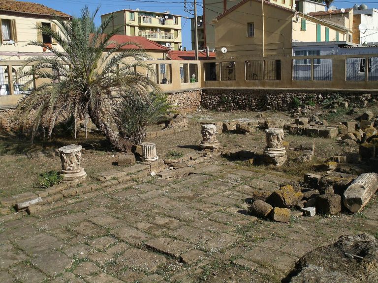
The Cherchell Roman Ruins preserve the remains of Caesarea Mauretaniae, a Phoenician or Carthaginian settlement transformed by Juba II into a…
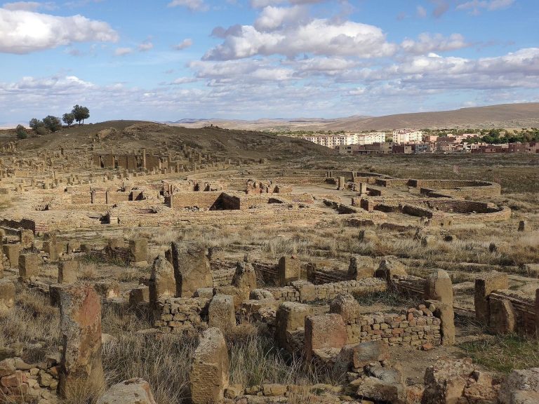
The Large Southern Thermae of Timgad were a major Roman bath complex built during the second century and enlarged under Septimius Severus. Their…
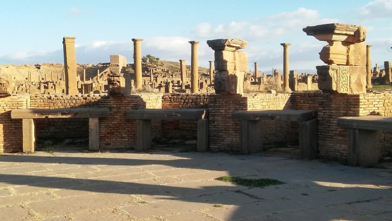
The Market of Sertius was a third-century Roman market at Timgad, financed by members of the city’s municipal elite and later repaired in Late…
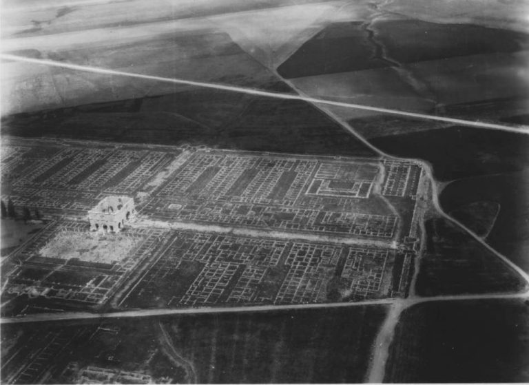
Lambaesis was a major Roman military settlement in Numidia and the principal base of Legio III Augusta. Its ruins include a legionary fortress,…
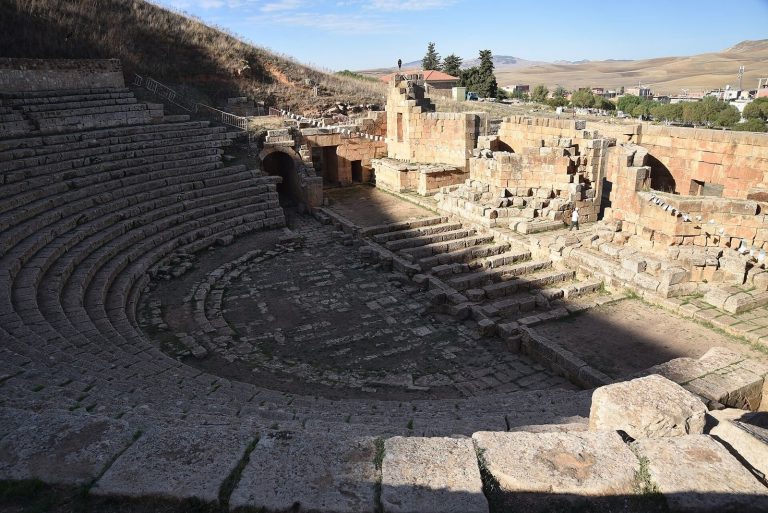
Thubursicum, at Khemissa in northeastern Algeria, developed from a Numidian settlement into a Roman municipium, colony, and Christian bishopric. Its…
For details on how to use the maps, which sites are included, how popularity and ratings are determined, and how sites are classified, see the help page.
On this page6 sections
Djemila’s streets, forum and market
At Djemila, ancient Cuicul, the paved principal street follows a narrow spur between ravines. Columns mark covered walkways beside it, while breaks in the paving expose drains beneath the road. The old forum brings together the remains of civic and religious buildings within a compact public district.
The adjoining market offers particularly specific evidence of trade. Shops opened onto a court surrounded by a portico, with stone counters and a carved measuring table containing cavities of different sizes. A fountain occupied the court, and inscriptions named the benefactor who provided the market. The arrangement connects the public square with the rooms and equipment used for buying, selling and measuring goods.
As the city expanded, additional districts developed beyond the earliest centre. Its surviving roads and public spaces are therefore parts of a town fitted to a restricted site, with later construction extending the available building area. Excavation and partial reconstruction have made the principal monuments legible, while the ancient paving and market fittings retain more detailed evidence of their use.
Tiddis: streets climbing a hillside
Tiddis has a markedly different street arrangement. From the northern gateway, the main paved route climbs through bends and hairpin turns. Flights of steps connect it with terraces farther up the slope. The town’s builders fitted streets, houses and public buildings to the hillside instead of laying out a continuous rectangular grid.
The forum occupies a narrow terrace cut into the hill. Rooms opened towards this public space, while inscribed statue bases commemorated individuals associated with the town and imperial household. At the northern entrance, a surviving single-arched gate bears an inscription recording its private donor. Gate, climbing street and terraced square form a connected sequence through the settlement.
Lambaesis and the headquarters of a legion
At Lambaesis, the legionary fortress stood separately from the civilian city. Its principal surviving building is often called the praetorium, but it belonged to the headquarters complex, or principia. Broad, round-headed openings pierce its high stone walls at the intersection of the camp’s main roads.
Columns and pilasters decorated the façades, while a paved court behind the building was flanked by porticoes and rooms used for military equipment. Sculpted keystones include eagles, Victories and a military standard identifying the Third Augustan Legion. These details connect the standing architecture with administration, storage and the legion’s official identity, rather than treating it as a commander’s private residence.
Tipasa’s coastal public square
Tipasa preserves Roman urban remains across a coastal archaeological area. A broad east–west street connected the town to the road along the coast, while the crossing north–south route descended towards the sea. The forum survives as a paved square once bordered by porticoes.
A vaulted supporting gallery carried one of those porticoes across sloping ground. The Capitol temple at the square’s northern end is represented by its podium, steps and traces of its inner rooms. Other remains extend beyond this civic centre, including Christian cemeteries and basilicas in separate parts of the ancient town. The linked article distinguishes these areas and their different building phases.
Theveste’s Roman arch and later walls
At Theveste, now Tébessa, the Arch of Caracalla stands on a square plan with four matching façades. Built in the early third century, it marked a crossing of routes and later became a gateway in the sixth-century Byzantine enclosure. The surrounding square towers and walls belong to that later defensive campaign.
The Roman arch thus survives within a changed urban boundary. Nearby remains include the Temple of Minerva and the extensive late fourth-century Christian complex associated with Saint Crispina. The town brings a standing imperial monument and later religious and military buildings into the same collection, with their dates and functions kept distinct.
Explore the collection
Explore sites on the map or in the grid. Map icons reflect each site’s primary function, helping you identify different kinds of places at a glance. Narrow the results by primary function, site type or era, with additional filters for popularity and rating. Select a map marker to view the site’s details and open its article, or open the article from its grid entry.