Horsburgh Castle: A Sixteenth-Century Tower House in Scotland
Site at a Glance
- Rating
- 4.7
- Popularity
- Very Low
- Country
- United Kingdom
- Primary era
- Early Modern
- Eras represented
- Early Modern
- Civilizations
- Kingdom of Scotland
- Site type
- Military
- Remains
- Castle
On this page5 sections
History
Horsburgh Castle is a ruined sixteenth-century tower house in the United Kingdom, near Peebles in Scotland. Built for the Horsburgh family, it was a fortified residential building that formed part of a defensive network in the Tweed valley. The ruins occupy the site of an earlier prehistoric hillfort, which can be identified in aerial photographs.
The Horsburgh estate
The Horsburgh family held the estate from at least 1479 until the early twentieth century. The Horsbroc clan belonged to the lower nobility of the historic county of Peeblesshire. The older form of the name, Horsbrugh, means “horse brook” and provided the family name. The spelling of the castle’s name varies, with Ordnance Survey mapping using “Horsbrugh Castle,” while “Horsburgh Castle” appears in the records of the Royal Commission on the Ancient and Historical Monuments of Scotland and in other references.
A defensive position in the Tweed valley
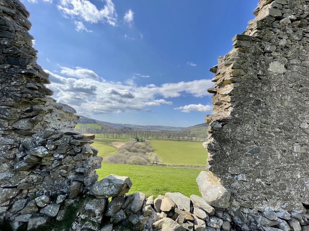
The castle stood above the confluence of the Linn Burn and the River Tweed, near Glentress about five kilometres southeast of Peebles. Neidpath Castle, on the opposite side of Peebles, could be seen from Horsburgh Castle. Beacons lit on the roofs allowed signals to pass from hill to hill and could raise an alarm when danger threatened. Nearby Nether Horsburgh Castle, now also ruined, was associated with the same family.
Horsburgh Castle is a Scheduled Monument, a legally protected archaeological or historic site recognized for national importance. A memorial plaque at the site commemorates Florence Horsbrugh, Baroness Horsbrugh of Horsbrugh (1889–1969), a British Conservative politician who served as a minister during Winston Churchill’s premiership.
Remains
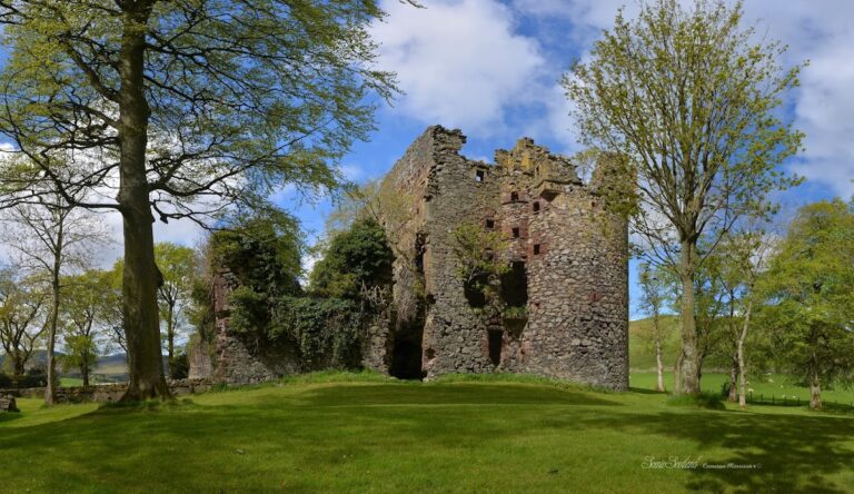
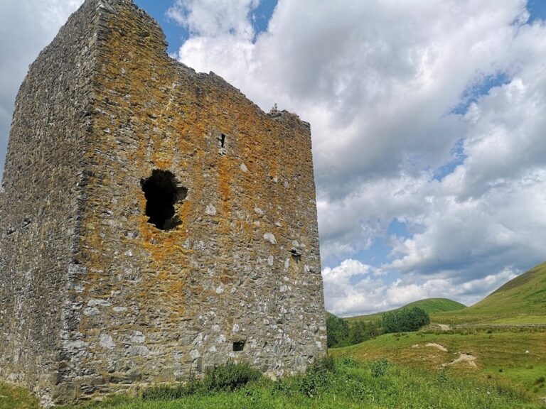
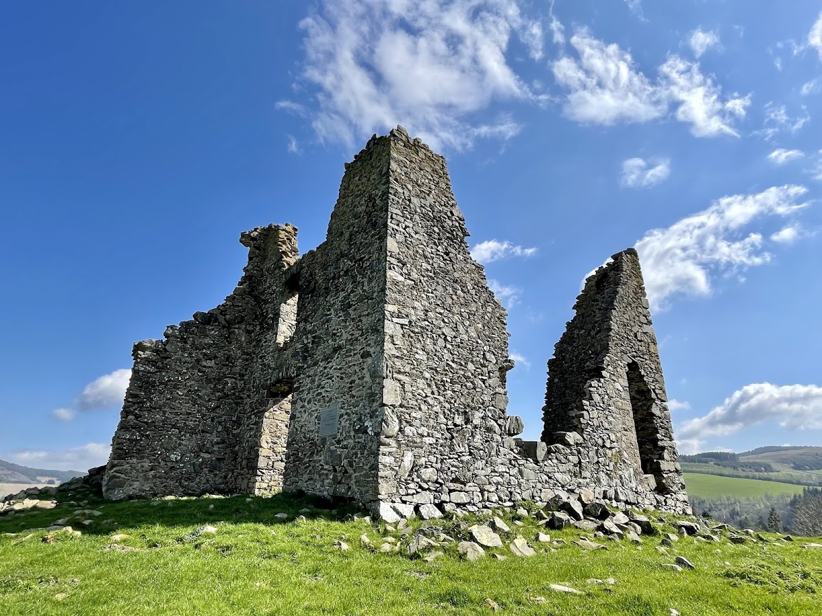
Horsburgh Castle survives as a hilltop rubble-masonry tower house with an L-shaped plan. The principal block probably measured about 9.4 by 9.8 metres, while the remaining walls reach up to six metres in height. The position above the point where the Linn Burn enters the Tweed helped place the residence within the surrounding defensive landscape.
The tower house
The northeastern projection contained a tower with a stairway leading to the upper floors. The house probably had a vaulted lower floor, and a cellar window in the western wall is the oldest surviving original part of the ruin. Two storeys remain in the northern wall, although this wall, like the southern wall, may have been reconstructed in the nineteenth century. The entrance was probably on the northern side.